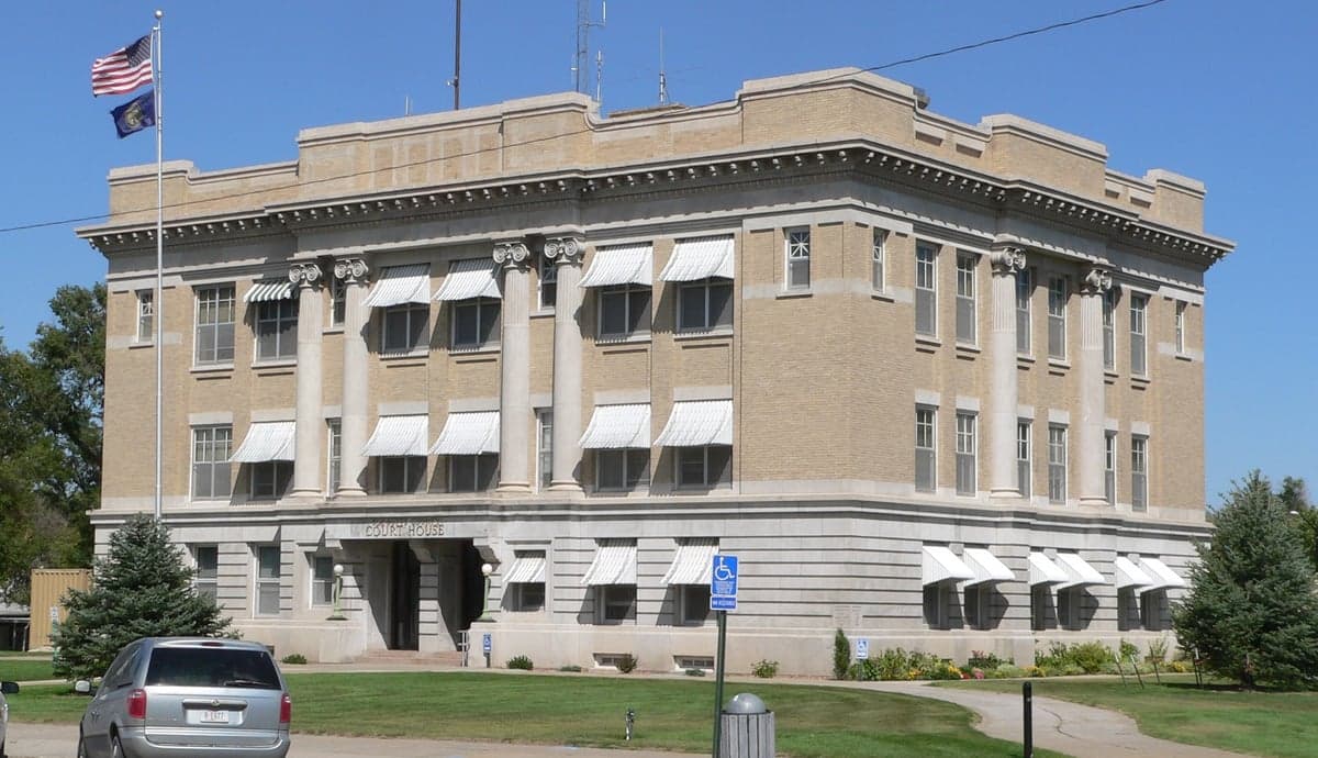
Photo: Wikipedia
Strategic Assessment of Box Butte County
Deep buffer from population centers and strategic targets. Low natural disaster risk and minimal exposure to border or coastal threats.
What does the Strategic Assessment tell us?
Our Strategic Assessment grades tactical survivability of an area. Major population centers, military targets, fallout zones, natural disasters, and border exposure all drive risk — lower exposure means a more defensible position in a crisis.
This is heavily inspired by Joel Skousen's Strategic Relocation book. Highly recommended you checkout the book ($)What does this tell us?
Our Strategic Assessment grades tactical survivability of an area. Major population centers, military targets, fallout zones, natural disasters, and border exposure all drive risk — lower exposure means a more defensible position in a crisis.
This is heavily inspired by Joel Skousen's Strategic Relocation book. Highly recommended you checkout the book ($)Strategic Pillars

Key Distances
Strategic Assessment Analysis
Box Butte County, Nebraska, offers a compelling strategic profile for relocators prioritizing resilience and self-sufficiency, anchored by its remote location in the Nebraska Panhandle and the modest but functional hub of Alliance. The county's position—roughly equidistant from Denver, Colorado, and Rapid City, South Dakota—places it well outside the concentric threat rings of major metropolitan targets, while its agricultural base and low population density provide a foundation for long-term stability. For a single individual or family evaluating disaster readiness, Box Butte County presents a mix of genuine geographic advantages and practical limitations that require honest assessment.
Geographic position and natural advantages for long-term stability
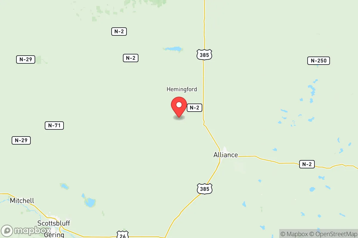
Box Butte County sits in the High Plains region, characterized by semi-arid climate, wide-open spaces, and a population density of roughly 3 people per square mile. The county seat of Alliance serves as the primary population center, with smaller communities like Hemingford and Berea offering additional low-key settlement options. The area's elevation—around 4,000 feet above sea level—provides a natural buffer against many climate extremes seen elsewhere in the Plains, though winter blizzards and occasional drought remain real considerations. The county's position along U.S. Highway 385 and the Burlington Northern Santa Fe rail line offers practical logistical connectivity without the vulnerabilities of major interstate corridors. The nearby Ogallala Aquifer, one of the largest freshwater aquifers in the world, underlies the region and supports both agricultural irrigation and domestic water supplies, a critical asset for any resilience-minded relocator. The North Platte River, while not within the county itself, lies roughly 30 miles south, providing an additional regional water resource. The area's distance from major population centers—Alliance sits over 200 miles from Denver and roughly 100 miles from the nearest interstate highway junction—means that fallout risks from a major metropolitan strike are significantly reduced, though not entirely eliminated depending on prevailing wind patterns.
Risk exposure and proximity to fallout-relevant landmarks
Box Butte County's primary risk profile centers on natural hazards rather than man-made threats, which is a net positive for the resilience-minded relocator. The county lies in Tornado Alley's western fringe, meaning severe thunderstorms and occasional tornadoes are possible but less frequent than in central Nebraska or Kansas. Blizzards and ice storms are the most common disruptive weather events, typically occurring between November and March, and can isolate rural properties for days at a time. From a man-made risk perspective, the county's remote location is its greatest asset. The nearest major military installation is F.E. Warren Air Force Base near Cheyenne, Wyoming, roughly 120 miles west, which houses intercontinental ballistic missile silos spread across the region. While this proximity introduces a theoretical risk in a full-scale conflict scenario, the silos are hardened, dispersed, and not typically considered primary first-strike targets in the way that command-and-control centers or submarine bases are. The county is not near any major oil refineries, nuclear power plants, or chemical storage facilities that would create secondary hazards. The closest significant industrial infrastructure is the oil and gas development in the Denver-Julesburg Basin to the west and the ethanol plants in central Nebraska, both at sufficient distance to mitigate direct fallout concerns. For a relocator specifically seeking to avoid proximity to high-value targets, Box Butte County's position in the sparsely populated Panhandle is strategically sound.
Practical resilience for a relocator: food, water, energy, and defensibility
The practical resilience picture in Box Butte County is mixed but generally favorable for those willing to invest in preparation. Food security is the county's strongest suit: the region is part of Nebraska's agricultural heartland, with extensive dryland and irrigated crop production including corn, wheat, and hay, alongside cattle ranching operations that span thousands of acres. The Alliance Livestock Auction provides a regional market for livestock, and local producers sell directly to consumers through farmers' markets and farm stands. For a relocator looking to establish a small homestead, the county's zoning regulations are generally permissive, and land prices remain among the most affordable in the state—agricultural parcels can be found for under $2,000 per acre. Water availability is a more nuanced consideration. While the Ogallala Aquifer provides reliable groundwater, well depths vary significantly across the county, and drilling a new well can cost $10,000 to $20,000 depending on depth and yield. Municipal water in Alliance is treated and reliable, but rural properties depend entirely on private wells, making pre-purchase water testing and yield verification essential. Energy infrastructure is adequate but not redundant: Alliance is served by the Nebraska Public Power District, which draws from a mix of coal, natural gas, and renewable sources, including wind generation from the nearby Ainsworth Wind Farm. However, rural power lines are vulnerable to ice storms and high winds, and outages lasting 24-48 hours are not uncommon during winter storms. A backup generator and a supply of propane or diesel are practical necessities rather than optional luxuries. Defensibility is a function of the county's low population density and the ability to maintain situational awareness over a large area. Rural properties with good sightlines and limited road access offer natural security advantages, though the open terrain also means that sound and light travel far, and neighbors are likely to notice unusual activity. The county's law enforcement presence is limited—the Box Butte County Sheriff's Office and the Alliance Police Department together field fewer than 30 sworn officers—so self-reliance in security matters is the default expectation.
The overall strategic picture for Box Butte County is one of genuine resilience potential tempered by the realities of High Plains living. The county offers a rare combination of agricultural self-sufficiency, low population density, and distance from major target zones that is increasingly difficult to find in the contiguous United States. For a relocator who is comfortable with cold winters, willing to invest in well and backup power infrastructure, and prepared for a lifestyle that requires proactive problem-solving rather than reactive service access, Box Butte County represents a defensible and sustainable long-term position. The trade-offs are real: limited healthcare access (the nearest Level II trauma center is in Scottsbluff, 50 miles west), a thin job market outside of agriculture and education, and the psychological adjustment to a landscape that can feel isolating. But for those who prioritize strategic positioning over convenience, the Nebraska Panhandle's quiet corners offer a foundation worth serious consideration.

* Values derived from national, state, county, city and local statistics and may differ in a specific area. Last updated: 2026-07-10T12:47:43.000Z
Narrative content on this page is AI-generated and may contain mistakes. Verify any details that matter before acting on them.
ReloMaps may earn a commission from affiliate links at no extra cost to you.

