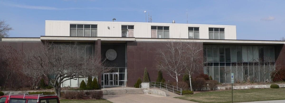
Photo: Wikipedia
Strategic Assessment of Adams County
Strong survivability profile. Good buffer from population centers, with manageable environmental and tactical risks.
What does the Strategic Assessment tell us?
Our Strategic Assessment grades tactical survivability of an area. Major population centers, military targets, fallout zones, natural disasters, and border exposure all drive risk — lower exposure means a more defensible position in a crisis.
This is heavily inspired by Joel Skousen's Strategic Relocation book. Highly recommended you checkout the book ($)What does this tell us?
Our Strategic Assessment grades tactical survivability of an area. Major population centers, military targets, fallout zones, natural disasters, and border exposure all drive risk — lower exposure means a more defensible position in a crisis.
This is heavily inspired by Joel Skousen's Strategic Relocation book. Highly recommended you checkout the book ($)Strategic Pillars

Key Distances
Strategic Assessment Analysis
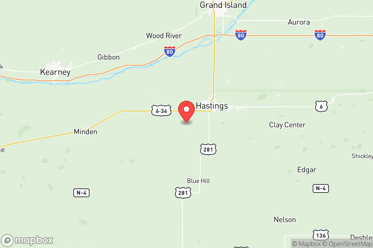
Adams County, Nebraska, anchored by the city of Hastings, presents a compelling case for relocation-minded individuals and families prioritizing resilience, self-sufficiency, and a buffer from major metropolitan vulnerabilities. The county’s strategic position in south-central Nebraska, roughly 100 miles west of Lincoln and 150 miles southwest of Omaha, places it well outside the immediate blast and fallout zones of major population centers, while still offering access to regional infrastructure. This combination of geographic insulation and practical resource availability makes Adams County a noteworthy option for those conducting a serious disaster-readiness assessment of the Great Plains.
Geographic position and natural advantages for long-term stability
Adams County sits on the flat to gently rolling plains of the Nebraska Loess Hills, a region defined by deep, fertile soils and a climate that, while subject to extremes, is predictable. The county’s primary natural advantage is its position within the Republican River Basin, which provides a reliable surface water source, supplemented by the extensive Ogallala Aquifer system that underlies much of central Nebraska. This groundwater availability is a critical asset for long-term water security, especially when compared to more arid western states or regions dependent on increasingly stressed river systems. The local topography offers no significant defensive high ground, but the open terrain provides excellent visibility and makes the area less conducive to ambush or concealment for potential threats. The county’s agricultural land—predominantly corn, soybeans, and alfalfa—is among the most productive in the state, creating a built-in local food production capacity that is rare in more urbanized counties. Hastings itself is a regional hub for manufacturing and healthcare, anchored by employers like Baldwin Filters and Mary Lanning Healthcare, which provide economic stability and specialized skills that could be valuable in a post-disruption scenario.
Risk exposure: natural hazards and proximity to man-made threats
No location is without risk, and Adams County faces a specific set of natural and man-made exposures. The primary natural threat is severe weather, including tornadoes, derechos, and blizzards. The county lies within the heart of Tornado Alley, and the 1980 Grand Island tornado outbreak, which caused catastrophic damage just 25 miles north, serves as a regional reminder of the destructive potential. Hail and straight-line winds are annual risks that can damage infrastructure and crops. On the man-made side, the county’s relative isolation is a double-edged sword. While far from the primary targets of a major conflict—such as Offutt Air Force Base near Omaha or the Minuteman III missile silos scattered across western Nebraska—Adams County is not entirely immune. The county itself contains no major military installations or heavy industrial targets, but the Kearney Regional Airport (about 40 miles west) and the Union Pacific rail yard in Hastings could be considered secondary logistical nodes. More critically, the prevailing westerly winds mean that fallout from a strike on the missile fields in the Panhandle or even from a major event at the Fort Calhoun Nuclear Station (near Omaha) would likely be carried eastward, away from Adams County. The most realistic man-made risk is a disruption to the regional power grid or a derailment of hazardous materials on the rail lines that bisect the county, but these are manageable with basic preparedness.
Practical resilience for a relocator: food, water, energy, and defensibility
For a family or individual serious about self-sufficiency, Adams County offers a strong baseline. Food security is the standout feature: the county is surrounded by working farms, and the Hastings area has a robust farmers' market and direct-to-consumer agricultural sales. The presence of Central Community College in Hastings also means a local pool of technical skills in agriculture and mechanics. Water security is excellent for the region; private wells are common in rural areas, and the municipal water supply for Hastings draws from both groundwater and surface sources, providing redundancy. Energy resilience is moderate. The county is served by the Nebraska Public Power District, which operates a mix of coal, natural gas, and renewable sources, but the grid is vulnerable to ice storms and high winds. Solar and wind potential are good, and there are no restrictive HOA covenants in unincorporated areas that would prevent off-grid installations. Defensibility is a mixed picture. The open plains offer long sightlines but little cover. A rural homestead with a good perimeter and a well-stocked root cellar would be far more defensible than a suburban lot in Hastings. The county's low population density—roughly 31,000 people spread over 564 square miles—means that in a crisis, competition for resources would be less intense than in a city, but it also means that law enforcement response times in remote areas can be significant. The local sheriff's office and the Hastings Police Department are professional but small, so community mutual aid networks are a practical necessity.
The overall strategic picture for Adams County is one of moderate, grounded resilience. It is not a hardened bunker location, nor is it a remote wilderness retreat. Instead, it offers a practical balance: a working agricultural community with real water and food advantages, situated far enough from primary targets to avoid the worst of a major conflict's direct effects, yet close enough to regional medical and logistical hubs to be functional in normal times. For the relocator who values community, arable land, and a low-risk profile over dramatic terrain or extreme isolation, Adams County represents a defensible, sustainable choice in the heart of the Plains. The key is to arrive prepared—with skills, supplies, and a plan to integrate into the existing local networks—rather than expecting the land alone to provide security.

* Values derived from national, state, county, city and local statistics and may differ in a specific area. Last updated: 2026-07-16T18:36:49.000Z
Narrative content on this page is AI-generated and may contain mistakes. Verify any details that matter before acting on them.
ReloMaps may earn a commission from affiliate links at no extra cost to you.

