
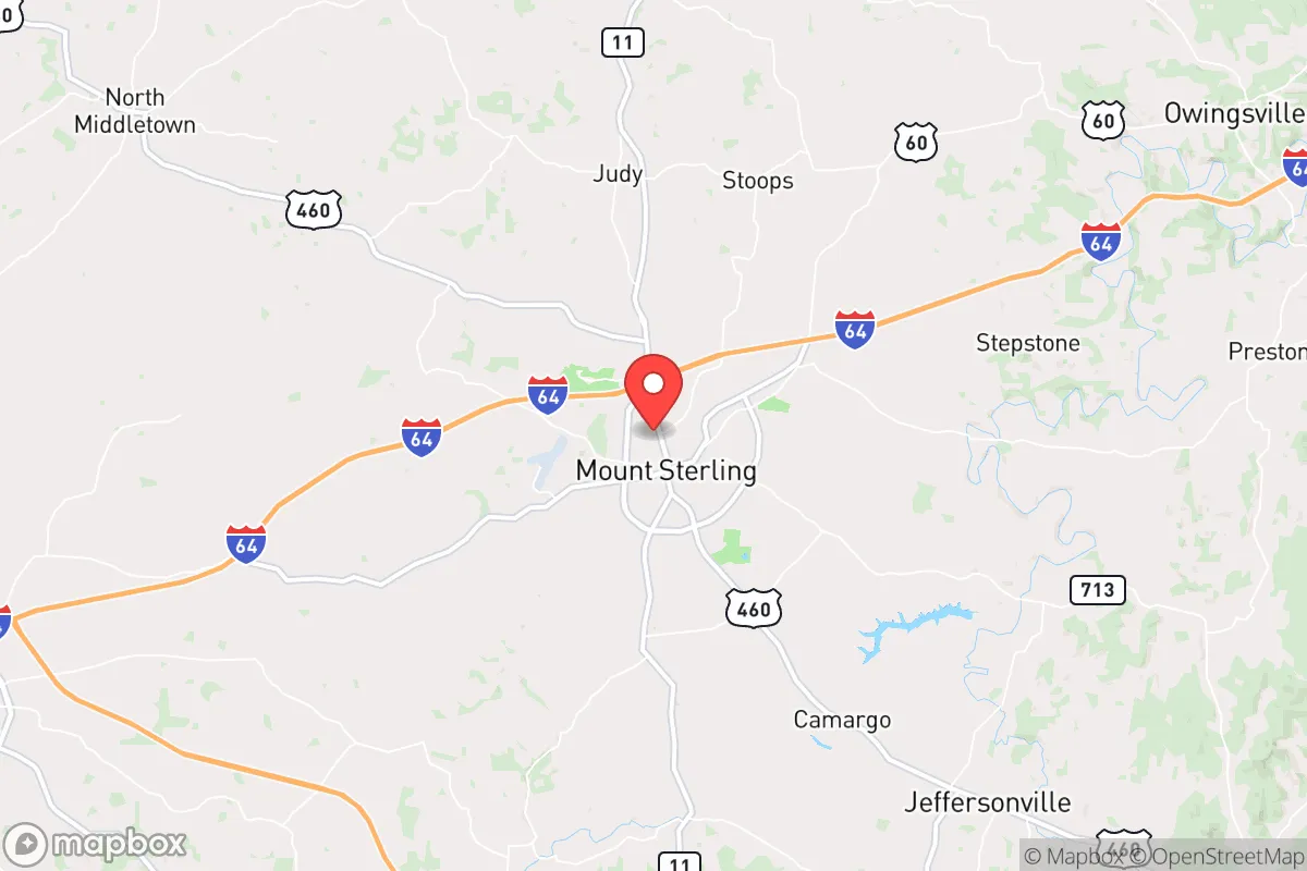
Photo: Wikipedia
Strategic Assessment of Mount Sterling, KY
Workable tactical position. Some exposure to population density or targets, but generally defensible in a crisis.
What does the Strategic Assessment tell us?
Our Strategic Assessment grades tactical survivability of an area. Major population centers, military targets, fallout zones, natural disasters, and border exposure all drive risk — lower exposure means a more defensible position in a crisis.
This is heavily inspired by Joel Skousen's Strategic Relocation book. Highly recommended you checkout the book ($)What does this tell us?
Our Strategic Assessment grades tactical survivability of an area. Major population centers, military targets, fallout zones, natural disasters, and border exposure all drive risk — lower exposure means a more defensible position in a crisis.
This is heavily inspired by Joel Skousen's Strategic Relocation book. Highly recommended you checkout the book ($)Strategic Pillars

Key Distances
Regional Safe Places
Below is our recommended "safe zones" in Kentucky and the surrounding area based on our strategic heuristics. For most people, it's unrealistic to live in a “safe zone” full-time due to work, family or other personal reasons. They tend to be more rural. However, many of these areas are perfect for second homes and retreat properties that double as a vacation home or even a short-term rental.
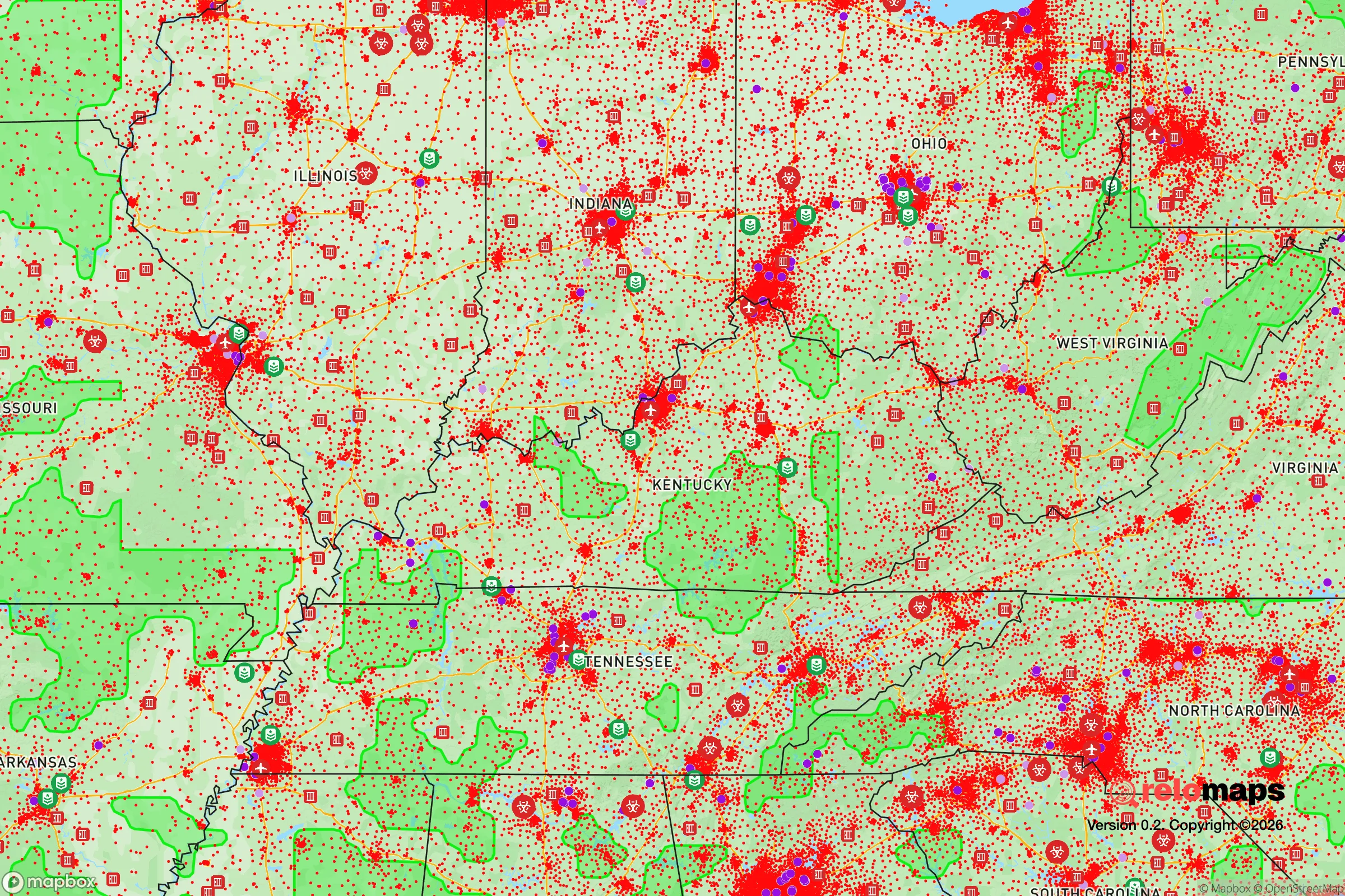
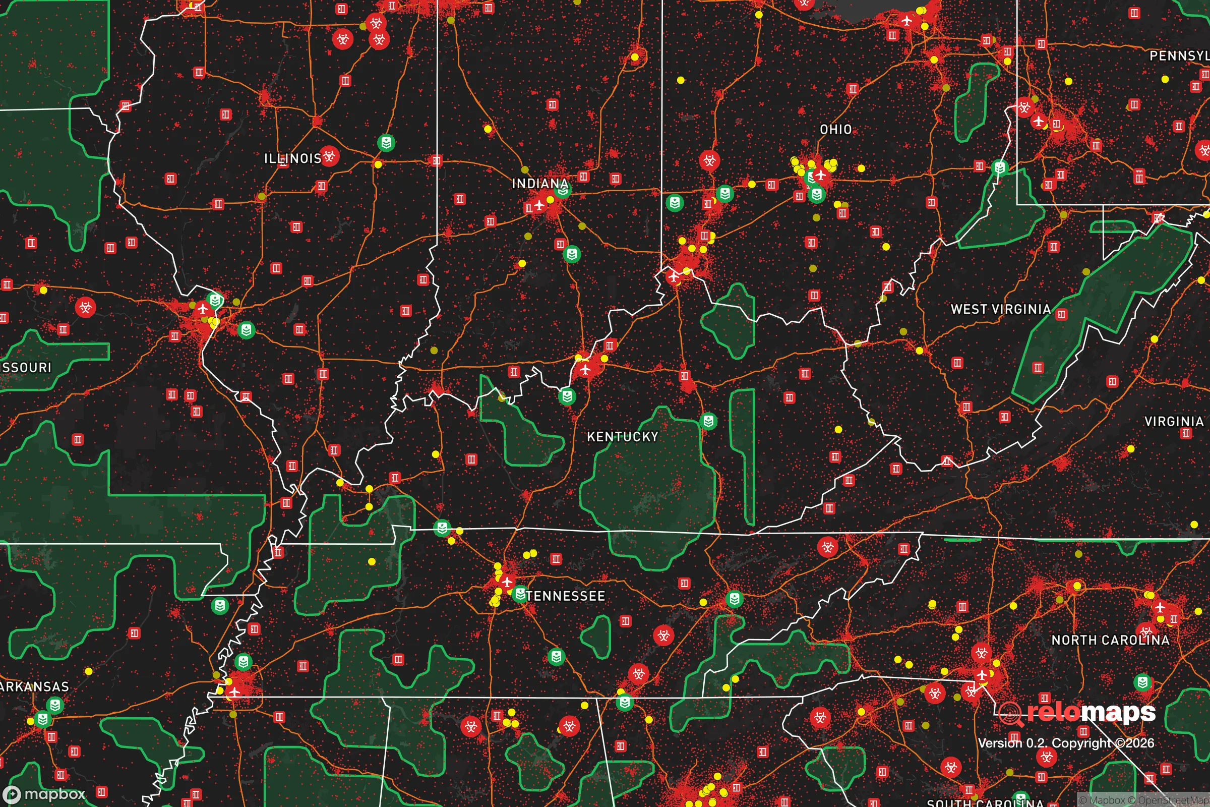


Important Note: For informational purposes only. This does not mean nothing bad ever happens in the green zones. Please use common sense. This is based on public data and modeled with AI. We tried to take a conservative approach but mistakes happen. We update this regularly as new information becomes available.
Solar Generator Recommendations
Backup power matters more here than in safer locations. We've picked three solar generators across budgets and capacity tiers — start with the budget unit if you only need a few essentials, or step up if you want to run a fridge and HVAC for days at a time.

Jackery Portable Power Station Explorer 300
Budget OptionPower on the Go: Weighing only 11 lbs, it's convenient to set up and store with book-sized foldable solar panels

BLUETTI Portable Power Station AC180
Designed for both indoor and outdoor scenarios, AC180 is highly capable as it has a robost capacity and continuous output power.

EF ECOFLOW DELTA Pro Ultra Power Station
Upgraded PickEcoFlow DELTA Pro Ultra is a whole-home energy system designed to grow with your family. Integrated with the Smart Home Panel 2, it scales to meet your evolving energy needs — keeping your home powered, intelligent, and secure through every stage of life.
We earn a commission, at no additional cost to you.
Strategic Assessment Analysis
Mount Sterling, Kentucky, offers a compelling strategic profile for the relocation-minded reader focused on resilience and self-sufficiency, balancing a strong geographic position with a realistic set of exposures. Located roughly 40 miles east of Lexington and 90 miles southeast of Louisville, this Montgomery County seat sits at the crossroads of the Mountain Parkway and I-64, providing excellent logistical access without the density and target profile of a major metro. For a conservative-leaning individual or family prioritizing preparedness, Mount Sterling presents a workable middle ground: close enough to urban resources to be practical, yet far enough to avoid the worst of a collapse scenario's initial shockwaves.
Geographic position and natural advantages for long-term stability
Mount Sterling's location in the Bluegrass region's eastern edge offers a blend of agricultural productivity and access to the Appalachian foothills, a combination that supports a resilient lifestyle. The area sits atop the Kentucky River basin, with reliable groundwater and numerous small creeks and springs that provide decentralized water sources—a critical advantage over regions dependent on distant reservoirs or aqueducts. The terrain is gently rolling rather than mountainous, which means good road connectivity even in winter, but with enough elevation change to offer natural drainage and defensible building sites on the periphery. The local climate is temperate, with an average 45 inches of rainfall annually, reducing the risk of prolonged drought that plagues western states. Soils in Montgomery County are predominantly silt loams derived from limestone, supporting productive gardens and small-scale agriculture without heavy inputs. For a relocator, this means the land itself is a working asset: a five-acre parcel can realistically sustain a family with vegetables, poultry, and a few head of livestock, assuming basic knowledge and infrastructure.
Risk exposures and proximity to fallout-relevant landmarks
The primary strategic weakness of Mount Sterling is its proximity to several high-value targets that could generate secondary effects in a major conflict or systemic collapse. Lexington's Blue Grass Army Depot, located roughly 35 miles southwest, stores chemical munitions and conventional ordnance, making it a plausible target in a war scenario. Additionally, the region's position along I-64—a major east-west logistics corridor connecting St. Louis to the Virginia coast—means that any disruption to national supply chains would hit local fuel and food availability hard. Mount Sterling itself is not a primary target, but it sits within the fallout plume radius of both the depot and, at the outer edge, the Louisville metropolitan area's industrial and transportation infrastructure. Natural hazards are less dramatic but more frequent: the area experiences occasional tornadoes (Montgomery County is in the Ohio Valley severe weather zone), flash flooding along low-lying creeks, and winter ice storms that can knock out power for days. The 2009 ice storm left much of the county without electricity for up to two weeks, a useful benchmark for anyone assessing grid reliability. Earthquake risk is low, as the New Madrid Seismic Zone's worst effects are felt farther west, but a major event there would still disrupt river transport and fuel supplies that feed the region.
Practical resilience for a relocator: food, water, energy, and defensibility
For the self-reliant individual, Mount Sterling's practical resilience is a mixed but generally favorable picture. Food security is the strongest asset: Montgomery County has over 400 farms, with a strong base in cattle, poultry, and row crops like corn and soybeans. The local farmers' market operates year-round, and the county's agricultural extension office provides free soil testing and canning workshops. A relocator with land can tap into this network for seed stock, livestock genetics, and shared equipment. Water availability is also solid, with most rural properties relying on private wells that average 20-40 feet deep in the valley bottoms, yielding 10-20 gallons per minute—sufficient for household use and small-scale irrigation. The city's municipal water comes from the Licking River, but a well-dependent property is far more resilient to grid failure. Energy independence is achievable but requires upfront investment: the area receives about 200 sunny days per year, making solar viable but not optimal in winter months when cloud cover is heavy. Wood heat is the most practical backup, with abundant hardwood forests within a 15-minute drive and a local culture of firewood cutting that keeps prices reasonable. Propane is widely used for cooking and heating, and bulk delivery is available from several suppliers. Defensibility is moderate: the terrain offers good line-of-sight on ridge roads and natural chokepoints at creek crossings, but the county's 27,000 population means that a complete grid-down scenario would still see significant movement along I-64 and US-460. A property set back from main roads, with a gravel drive and a creek as a natural barrier, offers a realistic defensive posture without requiring a bunker mentality. The local sheriff's office is well-regarded and maintains a visible presence, but in a prolonged crisis, self-reliance is the default expectation.
The overall strategic picture for Mount Sterling is that of a capable secondary position: not a fortress, but a functional base for a prepared family that values community ties and agricultural practicality over isolation. Its risks are real but manageable with standard preparedness measures—a week's worth of stored water, a wood stove, a well-maintained vehicle, and a network of like-minded neighbors. The area's conservative culture, with strong church communities and a tradition of barn-raising mutual aid, aligns well with a resilience-minded relocation. For the reader who wants to be close enough to Lexington's hospitals and supply chains for normal life but far enough to ride out a disruption without being caught in a urban collapse, Mount Sterling is a solid, unglamorous choice that rewards preparation without promising invulnerability.

* Values derived from national, state, county, city and local statistics and may differ in a specific area. Last updated: 2026-09-05T23:48:44.000Z
Narrative content on this page is AI-generated and may contain mistakes. Verify any details that matter before acting on them.
ReloMaps may earn a commission from affiliate links at no extra cost to you.

