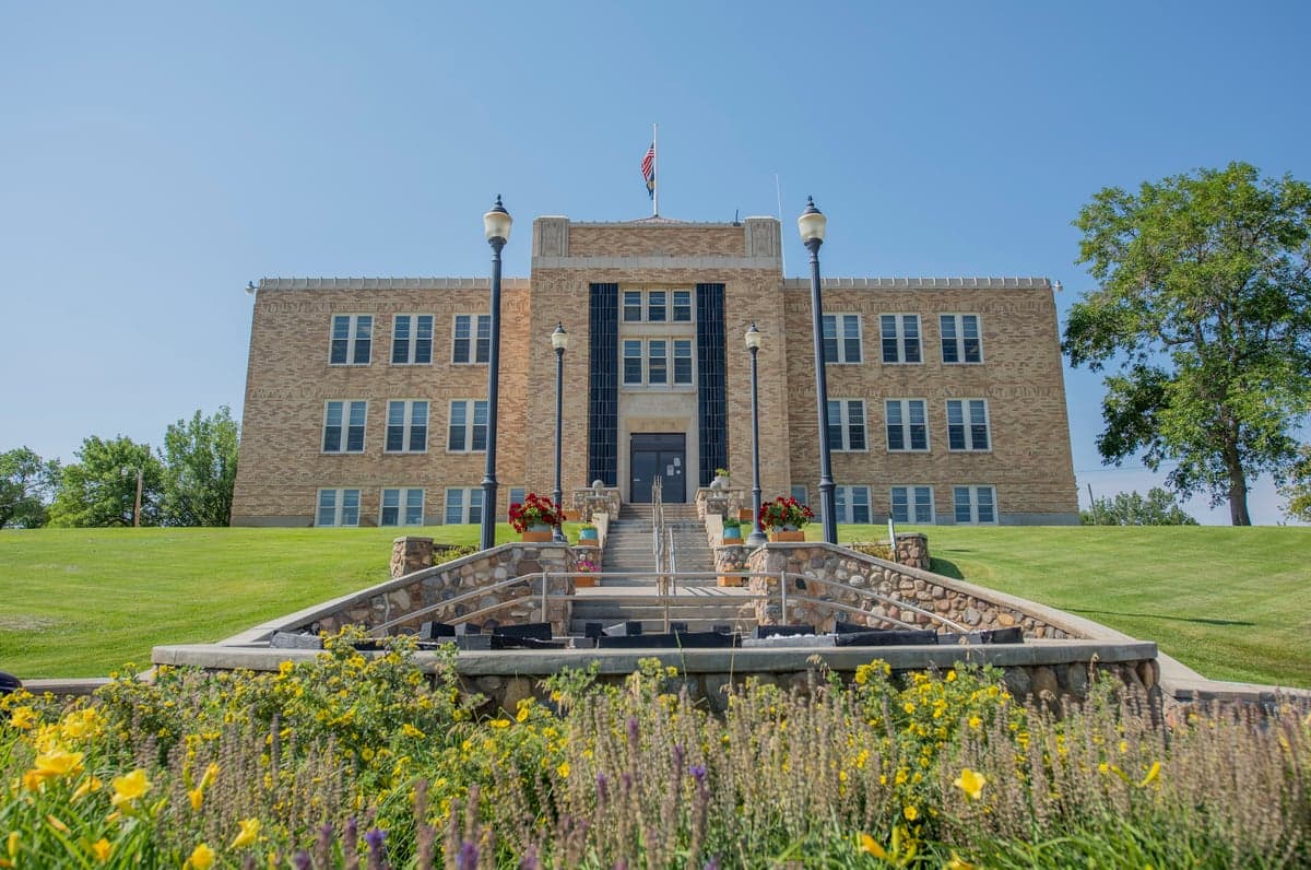
Photo: Wikipedia
Strategic Assessment of Toole County
Strong survivability profile. Good buffer from population centers, with manageable environmental and tactical risks.
What does the Strategic Assessment tell us?
Our Strategic Assessment grades tactical survivability of an area. Major population centers, military targets, fallout zones, natural disasters, and border exposure all drive risk — lower exposure means a more defensible position in a crisis.
This is heavily inspired by Joel Skousen's Strategic Relocation book. Highly recommended you checkout the book ($)What does this tell us?
Our Strategic Assessment grades tactical survivability of an area. Major population centers, military targets, fallout zones, natural disasters, and border exposure all drive risk — lower exposure means a more defensible position in a crisis.
This is heavily inspired by Joel Skousen's Strategic Relocation book. Highly recommended you checkout the book ($)Strategic Pillars

Key Distances
Strategic Assessment Analysis
Toole County, Montana, offers a compelling strategic position for those prioritizing resilience and self-sufficiency, anchored by its location along the Hi-Line and its proximity to the Canadian border. The county seat of Shelby serves as a modest hub, while the region’s low population density—roughly 5,000 residents spread over 1,945 square miles—provides natural buffers against the cascading failures common in urban centers. For a relocator serious about disaster readiness, Toole County’s combination of geographic isolation, access to the Rocky Mountain Front, and distance from major metropolitan targets makes it a defensible choice worth a hard look.
Geographic position and natural advantages for long-term security
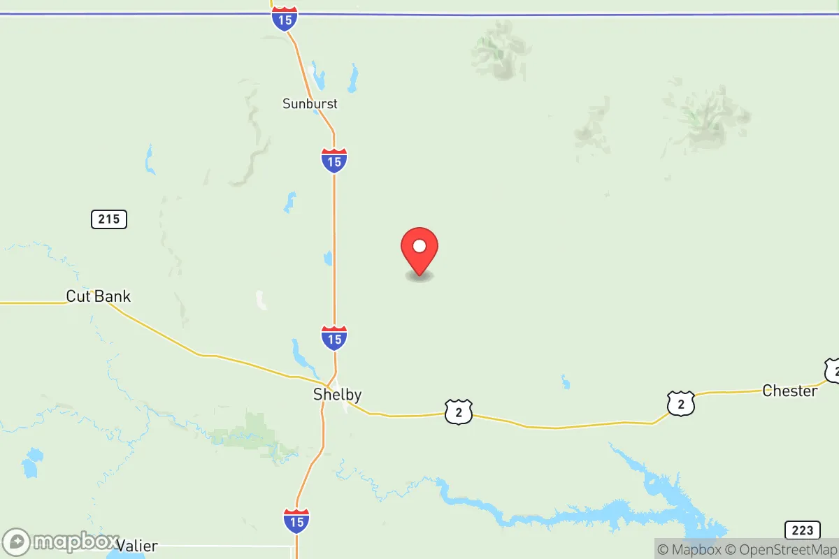
Toole County sits in north-central Montana, roughly 30 miles from the Canadian border, with the town of Shelby as its primary population center. The county’s location along the Milk River Valley and its proximity to the Sweet Grass Hills provide both water access and elevated terrain for observation or retreat. The area is far removed from the nation’s major population corridors—over 300 miles from the Seattle-Tacoma metroplex and more than 400 miles from the Denver-Boulder front range—meaning it avoids the fallout zones and secondary chaos that would radiate from those targets. The Rocky Mountain Front, about 60 miles west, offers additional high-altitude refuge and access to the Lewis and Clark National Forest, which can serve as a resource-rich backup zone. The county’s position also places it near the Port of Sweet Grass, a border crossing that could become a chokepoint or an asset depending on regional stability, but its low traffic volume relative to major ports like Seattle or Houston reduces its strategic value as a target.
Risks, exposures, and proximity to fallout-relevant landmarks
Toole County’s primary risk exposure stems not from direct targeting but from its proximity to infrastructure that could be secondary targets. The Burlington Northern Santa Fe (BNSF) rail line runs through Shelby, carrying freight that includes hazardous materials—a derailment or sabotage event could release toxic chemicals or disrupt supply chains. The county is also within 150 miles of Malmstrom Air Force Base near Great Falls, a major ICBM field that would be a high-priority target in a nuclear exchange. While Toole County itself is not a primary target, fallout from a strike on Malmstrom could drift eastward depending on wind patterns, potentially affecting the eastern half of the county. The Sweet Grass Hills, while offering elevation, also contain abandoned mining sites that could pose environmental hazards if disturbed. Natural risks include severe winter storms, which can isolate communities for days, and the occasional drought that stresses agricultural water supplies. Tornadoes are rare but possible, and the flat terrain offers little natural shelter from extreme weather events.
Practical resilience for a relocator: food, water, energy, and defensibility
For a relocator focused on self-sufficiency, Toole County’s practical resilience is a mixed bag with strong fundamentals. Water access is the standout advantage: the Milk River provides a perennial surface water source, and groundwater is generally accessible via wells at depths of 50–200 feet, though yields vary by location. The county’s agricultural base—primarily wheat, barley, and cattle ranching—means local food production is viable, with Shelby hosting a small but functional farmers’ market and several grain elevators that could serve as long-term storage. Energy infrastructure is limited but workable: the grid is served by Northwestern Energy, but rural areas are prone to outages during storms. Solar potential is excellent, with over 200 sunny days per year, and wind is a consistent resource—small-scale wind turbines are a practical addition. Propane is widely used for heating and cooking, and bulk suppliers in Shelby can fill tanks for off-grid setups. Defensibility is high due to the county’s low population density and open terrain, which provides clear lines of sight for anyone monitoring approach routes. The Marias River and the Sweet Grass Hills offer natural chokepoints and elevated positions for observation or retreat. However, the county lacks a robust medical infrastructure—the nearest hospital with trauma capabilities is in Great Falls, 90 miles south—so a relocator must plan for serious medical emergencies with evacuation routes or on-site capability. Law enforcement presence is thin, with the Toole County Sheriff’s Office covering the entire area with fewer than a dozen deputies, meaning community self-policing and mutual aid networks are essential for long-term security.
The overall strategic picture for Toole County is one of a resilient but austere outpost. Its isolation from major targets and its natural resource base—water, agricultural land, and renewable energy potential—make it a strong candidate for those willing to accept the trade-offs of rural living. The proximity to Malmstrom Air Force Base introduces a real but manageable fallout risk, mitigated by the county’s distance and the prevailing westerly winds that would push contamination eastward. For a relocator with the skills and resources to establish a self-sufficient homestead—solar panels, a well, a root cellar, and a community network—Toole County offers a defensible position that balances security with access to the broader Hi-Line region. The key is to act before the area becomes a secondary destination for urban refugees, as its advantages are not widely advertised but are increasingly recognized among the preparedness community.

* Values derived from national, state, county, city and local statistics and may differ in a specific area. Last updated: 2026-06-28T23:35:19.000Z
Narrative content on this page is AI-generated and may contain mistakes. Verify any details that matter before acting on them.
ReloMaps may earn a commission from affiliate links at no extra cost to you.

