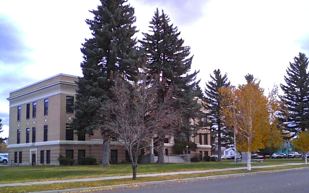
Photo: Wikipedia
Strategic Assessment of Powell County
Deep buffer from population centers and strategic targets. Low natural disaster risk and minimal exposure to border or coastal threats.
What does the Strategic Assessment tell us?
Our Strategic Assessment grades tactical survivability of an area. Major population centers, military targets, fallout zones, natural disasters, and border exposure all drive risk — lower exposure means a more defensible position in a crisis.
This is heavily inspired by Joel Skousen's Strategic Relocation book. Highly recommended you checkout the book ($)What does this tell us?
Our Strategic Assessment grades tactical survivability of an area. Major population centers, military targets, fallout zones, natural disasters, and border exposure all drive risk — lower exposure means a more defensible position in a crisis.
This is heavily inspired by Joel Skousen's Strategic Relocation book. Highly recommended you checkout the book ($)Strategic Pillars

Key Distances
Strategic Assessment Analysis
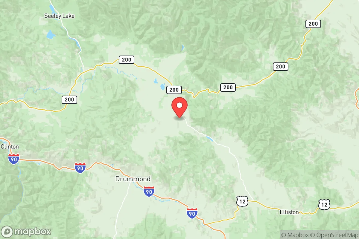
Powell County, Montana, offers a compelling strategic profile for relocation-minded individuals and families who prioritize resilience, self-sufficiency, and distance from major metropolitan vulnerabilities. Anchored by the county seat of Deer Lodge and the smaller community of Garrison, the area sits in a broad valley along the Clark Fork River, roughly 45 miles west of Butte and 90 miles southeast of Missoula. This positioning provides a meaningful buffer from the concentrated risks of larger urban centers while retaining access to essential services and supply routes via Interstate 90 and U.S. Highway 12. The county’s low population density—approximately 7,000 residents spread over 2,326 square miles—means that most properties enjoy significant physical separation from neighbors, a key factor in both everyday privacy and emergency scenarios.
Geographic position and natural advantages for long-term security
Powell County’s geography is defined by the Clark Fork River valley, flanked by the Garnet Range to the north and the Flint Creek Range to the south. This topography offers natural defensibility: the valley floor provides arable land and water access, while the surrounding mountains create chokepoints along major transportation corridors. The area’s elevation—roughly 4,500 feet in Deer Lodge—means a cooler, drier climate than much of the state, reducing wildfire risk compared to heavily forested regions like the Bitterroot Valley. The county also sits within the Montana Seismic Zone, but historical earthquake activity has been minor, with no significant events in recorded history. For a relocator, the key advantage is the combination of abundant surface water (the Clark Fork River and its tributaries), fertile valley soils suitable for small-scale agriculture, and moderate wildfire exposure—most large fires in recent decades have burned in the surrounding national forests, not the populated valley floor. The nearby Mount Powell area (the county’s namesake peak) and the Deer Lodge National Wildlife Refuge provide additional buffer zones and natural resources.
Risks, exposures, and proximity to fallout-relevant landmarks
Powell County’s primary risk profile is shaped by its distance from high-value targets and industrial infrastructure. The nearest major military installation is Malmstrom Air Force Base near Great Falls, roughly 120 miles northeast—a potential nuclear target due to its ICBM silos, but far enough that fallout patterns would likely disperse before reaching Powell County. The Yellowstone Caldera supervolcano is approximately 200 miles south, but prevailing winds would carry ash eastward, not into the county. More immediate risks include railroad accidents along the Montana Rail Link line that runs through Deer Lodge and Garrison, which carries hazardous materials (including crude oil and chemicals) between the Bakken oil fields and Pacific Northwest refineries. A derailment or spill could contaminate the Clark Fork River, the county’s primary water source. Industrial facilities are minimal: the Montana State Prison in Deer Lodge is the largest employer, but it poses no off-site hazard. The Garrison Dam on the Missouri River (about 100 miles east) is a potential target, but its failure would primarily affect downstream areas in North Dakota, not Powell County. For a relocator, the key takeaway is that Powell County faces no major man-made or natural catastrophic risks within a 50-mile radius, making it a low-exposure zone compared to areas near coastal ports, refinery corridors, or major military bases.
Practical resilience for a relocator: food, water, energy, and defensibility
For a family or individual serious about self-sufficiency, Powell County offers a strong baseline. Water access is the standout advantage: the Clark Fork River flows year-round, and groundwater is plentiful in the valley, with most rural properties able to drill wells at depths of 50–150 feet. The county’s irrigation infrastructure supports hay and alfalfa farming, and small-scale vegetable gardens thrive in the short growing season (roughly 90–110 frost-free days). Food production is feasible for a household, with local sources including the Deer Lodge Farmers Market (June–September) and nearby ranches selling beef, lamb, and bison. Energy resilience is moderate: the county is served by NorthWestern Energy, with power lines running along the I-90 corridor, but rural properties often rely on propane or heating oil. Solar potential is good—the area averages 200+ sunny days per year—and off-grid setups are common, with local installers available. Defensibility is aided by the valley’s natural chokepoints: the only major roads into the county are I-90 (east-west) and Highway 12 (north-south), both of which can be monitored or blocked if necessary. The Deer Lodge Police Department and Powell County Sheriff’s Office maintain a visible presence, but response times in rural areas can exceed 30 minutes, making personal preparedness essential. Medical facilities are limited to the Powell County Medical Center in Deer Lodge (a critical access hospital with 25 beds), with major trauma care requiring a 90-minute drive to Butte or Missoula. For a relocator, the practical picture is one of high water security, moderate food and energy self-sufficiency, and excellent natural defensibility, offset by limited medical infrastructure and reliance on a single major highway for supply chains.
The overall strategic picture for Powell County is one of balanced resilience: it offers meaningful geographic separation from major risks while retaining access to essential resources and transportation corridors. The county’s low population density, abundant water, and moderate climate make it a viable location for a self-sufficient household, particularly for those willing to invest in off-grid energy and food production. The primary trade-offs are the distance from advanced medical care and the reliance on a single highway for resupply, but these are manageable with planning. For a relocator with a conservative-leaning mindset—valuing independence, preparedness, and community—Powell County represents a solid, unglamorous choice that prioritizes substance over scenery. It is not a prepper’s fantasy of a remote mountain redoubt, but a functional, livable area where the risks are low and the opportunities for self-reliance are real.

* Values derived from national, state, county, city and local statistics and may differ in a specific area. Last updated: 2026-07-17T01:06:06.000Z
Narrative content on this page is AI-generated and may contain mistakes. Verify any details that matter before acting on them.
ReloMaps may earn a commission from affiliate links at no extra cost to you.

