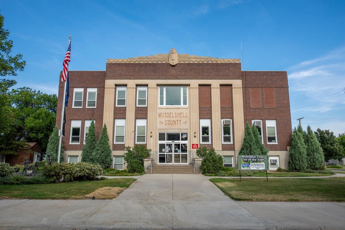
Photo: Wikipedia
Strategic Assessment of Musselshell County
Deep buffer from population centers and strategic targets. Low natural disaster risk and minimal exposure to border or coastal threats.
What does the Strategic Assessment tell us?
Our Strategic Assessment grades tactical survivability of an area. Major population centers, military targets, fallout zones, natural disasters, and border exposure all drive risk — lower exposure means a more defensible position in a crisis.
This is heavily inspired by Joel Skousen's Strategic Relocation book. Highly recommended you checkout the book ($)What does this tell us?
Our Strategic Assessment grades tactical survivability of an area. Major population centers, military targets, fallout zones, natural disasters, and border exposure all drive risk — lower exposure means a more defensible position in a crisis.
This is heavily inspired by Joel Skousen's Strategic Relocation book. Highly recommended you checkout the book ($)Strategic Pillars

Key Distances
Strategic Assessment Analysis
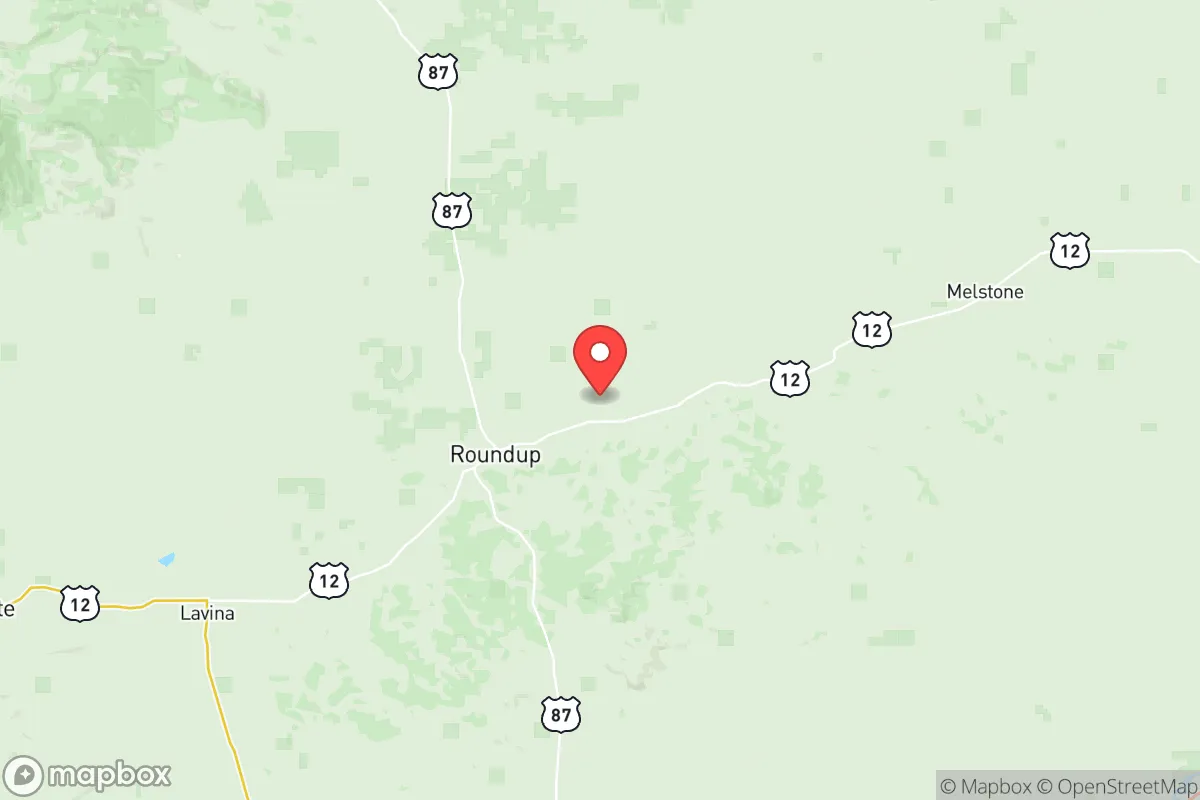
Musselshell County, Montana, offers a compelling strategic proposition for relocation-minded individuals and families prioritizing resilience and self-sufficiency, precisely because it sits at a deliberate distance from major population centers and high-value target zones. Anchored by the small towns of Roundup, Musselshell, and Melstone, the county provides a buffer from the fallout risks associated with larger cities like Billings (roughly 50 miles east) and Great Falls (about 150 miles northwest), while still maintaining practical access to their supply chains and medical facilities. This balance of isolation and connectivity makes it a location worth serious consideration for those who value preparedness without complete remoteness.
Geographic position and natural advantages for long-term stability
Musselshell County’s geography is defined by the Musselshell River valley, which cuts through rolling plains and breaks, offering a mix of irrigated bottomlands and dryland agriculture. The county’s position in central Montana places it within a region known for relatively low population density—roughly 1.5 people per square mile—which inherently reduces competition for resources in a crisis scenario. The Musselshell River itself is a perennial water source, though it is subject to seasonal fluctuations and occasional low flows, meaning any serious homesteading plan must account for well drilling or rainwater catchment. The area’s elevation (around 3,000 feet) and semi-arid climate mean fewer natural disaster risks compared to coastal or tornado-prone regions: wildfires are the primary seasonal hazard, but the open terrain allows for defensible space if managed properly. The county’s proximity to the Bull Mountains and the Little Snowy Mountains provides additional strategic depth—these areas offer timber, game, and potential retreat locations without being so rugged as to hinder access.
Risks, exposures, and proximity to fallout-relevant landmarks
The primary risk for Musselshell County is not direct attack but secondary effects from disruptions to regional infrastructure. The nearest major military installation is Malmstrom Air Force Base near Great Falls, roughly 150 miles northwest, which houses ICBM silos and is a potential target in a major conflict. While the county is outside the immediate blast and fallout zones for Malmstrom, prevailing winds from the northwest could carry fallout across the region in a worst-case scenario. More immediate concerns include the Billings refinery corridor, where the ExxonMobil refinery and other industrial facilities sit about 50 miles east. A major incident there could disrupt fuel supplies and create localized contamination, but Musselshell County’s distance and upwind position (prevailing winds are from the west) mitigate this risk. The county itself has no major industrial targets—no refineries, no military bases, no major rail hubs—which is a net positive for resilience. The closest potential fallout-relevant landmark is the Yellowstone River corridor, which hosts rail and pipeline infrastructure, but the county’s position along the Musselshell River, a separate watershed, provides a degree of separation. Natural risks are manageable: wildfire is the most significant, particularly in dry summers, but the county’s volunteer fire departments and open layout allow for effective mitigation. Flooding along the Musselshell River is localized and infrequent, typically affecting only low-lying agricultural land.
Practical resilience for a relocator: food, water, energy, and defensibility
For a relocator focused on self-sufficiency, Musselshell County offers a mixed but workable picture. Water is the most critical variable: the Musselshell River provides surface water, but rights are heavily allocated for irrigation, and new appropriations are difficult to obtain. Wells are the standard for rural homes, with depths typically ranging from 100 to 300 feet, and yields vary by location—consulting a local driller before purchase is essential. Food production is viable: the county’s growing season (roughly 120 frost-free days) supports hardy crops like wheat, barley, alfalfa, and vegetables, while the surrounding public lands (including the Bull Mountains and Little Snowy Mountains) offer hunting for deer, elk, and antelope. Small-scale livestock (chickens, goats, cattle) is common, and the local agricultural extension service provides resources for new growers. Energy is a strength: the county is in a wind-rich corridor, and many rural properties already use off-grid solar or wind systems. Grid power is available in towns like Roundup, but rural areas often rely on propane or diesel generators—stockpiling fuel is a practical step. Defensibility is inherent in the low population density and open terrain: a well-sited property with clear sightlines and a single access road offers natural security. The county’s small-town culture means neighbors know each other, which can be an asset for mutual aid but also means newcomers should invest in community relationships early. The nearest hospital is in Roundup (a critical access facility), with more comprehensive care in Billings—a 50-minute drive that underscores the need for medical self-reliance.
The overall strategic picture for Musselshell County is one of calculated trade-offs. It is not a bunker location—it lacks the extreme isolation of far-northern Montana or the deep mountain valleys of the west—but it offers a realistic balance of access to resources, manageable risk exposure, and a supportive community for self-reliant living. The county’s distance from major targets like Malmstrom AFB and the Billings refinery corridor, combined with its own lack of high-value infrastructure, makes it a low-priority area in most conflict scenarios. For a family or individual willing to invest in well water, renewable energy, and local relationships, Musselshell County provides a defensible, productive base that can weather both natural and man-made disruptions. The key is to treat it as a long-term homesteading proposition, not a quick retreat—success here depends on building the same kind of resilience that the county’s ranching families have practiced for generations.

* Values derived from national, state, county, city and local statistics and may differ in a specific area. Last updated: 2026-06-17T06:00:25.000Z
Narrative content on this page is AI-generated and may contain mistakes. Verify any details that matter before acting on them.
ReloMaps may earn a commission from affiliate links at no extra cost to you.

