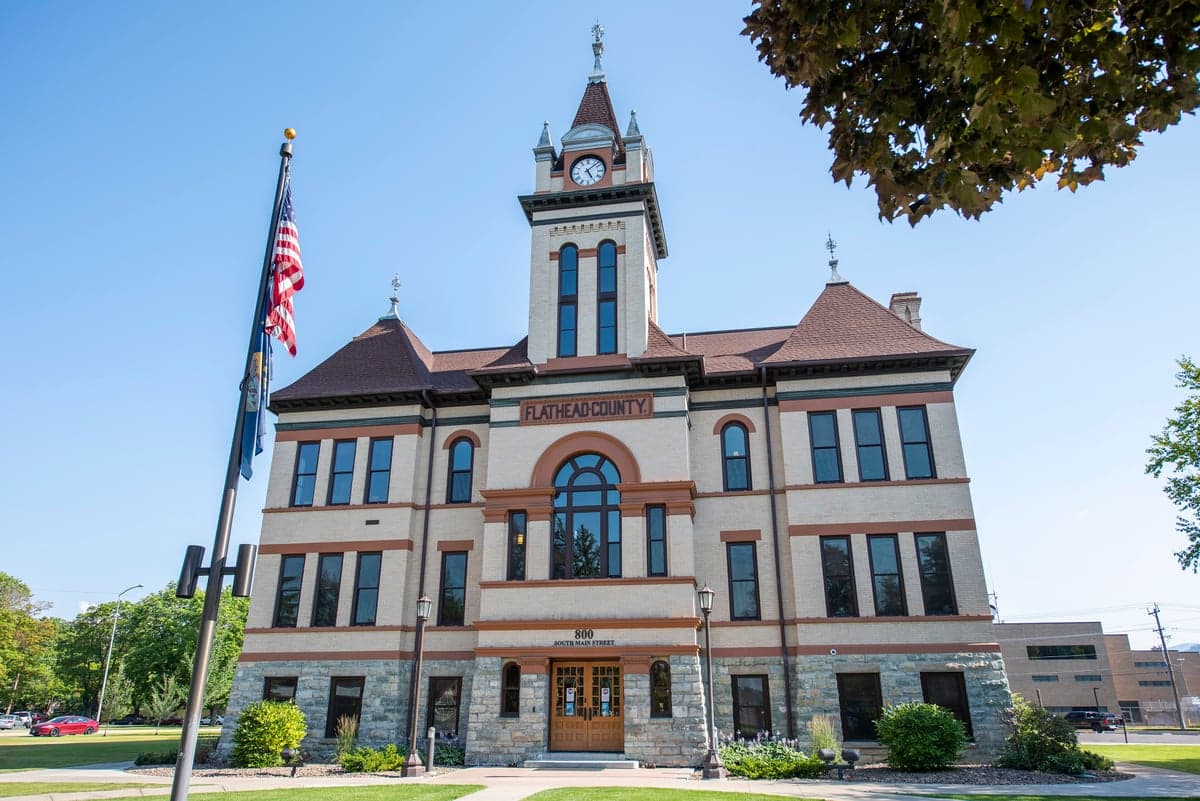
Photo: Wikipedia
Strategic Assessment of Flathead County
Workable tactical position. Some exposure to population density or targets, but generally defensible in a crisis.
What does the Strategic Assessment tell us?
Our Strategic Assessment grades tactical survivability of an area. Major population centers, military targets, fallout zones, natural disasters, and border exposure all drive risk — lower exposure means a more defensible position in a crisis.
This is heavily inspired by Joel Skousen's Strategic Relocation book. Highly recommended you checkout the book ($)What does this tell us?
Our Strategic Assessment grades tactical survivability of an area. Major population centers, military targets, fallout zones, natural disasters, and border exposure all drive risk — lower exposure means a more defensible position in a crisis.
This is heavily inspired by Joel Skousen's Strategic Relocation book. Highly recommended you checkout the book ($)Strategic Pillars

Key Distances
Strategic Assessment Analysis
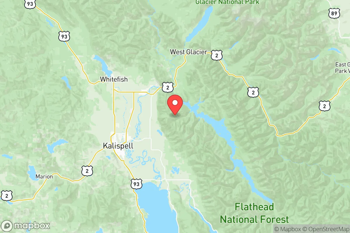
Flathead County, Montana, offers a compelling mix of geographic isolation and resource abundance that makes it a serious contender for relocation-minded individuals and families prioritizing long-term resilience and self-sufficiency. Anchored by the city of Kalispell and the smaller towns of Whitefish, Columbia Falls, and Bigfork, the county sits in a mountain valley west of the Continental Divide, buffered by Glacier National Park to the north and the Bob Marshall Wilderness to the east. This positioning provides a natural buffer against many of the cascading failure risks associated with densely populated corridors, while the region’s robust water supply, arable valley floors, and existing energy infrastructure give it a practical edge for those planning for disruption.
Geographic position and natural advantages for long-term stability
Flathead County’s primary strategic asset is its location within a self-contained watershed. The Flathead River system, fed by glaciers and high mountain snowpack, flows into Flathead Lake—the largest natural freshwater lake west of the Mississippi in the lower 48 states. This water security is a foundational advantage, especially when compared to arid western states or regions reliant on overdrawn aquifers. The valley floor around Kalispell and Columbia Falls contains some of the most productive agricultural soils in Montana, supporting local food production that is less vulnerable to supply chain interruptions. The surrounding mountain ranges—the Swan, Mission, and Whitefish ranges—create natural chokepoints that limit easy access, which can be a defensive asset in a degraded scenario. Additionally, the county’s position west of the Divide means it is less exposed to the severe winter inversions and air quality issues that plague valleys east of the Rockies, such as the Gallatin or Missoula valleys.
Risks, exposures, and proximity to fallout-relevant landmarks
No location is without vulnerabilities, and Flathead County has specific exposures that a relocator should weigh. The county is in a seismically active region; the Flathead Lake area and the Whitefish Range have experienced minor quakes, and the nearby Yellowstone Caldera, while distant, is a low-probability but high-consequence geological risk. Wildfire is the most immediate natural hazard. The 2017 Sprague Fire and the 2021 Trail Creek Fire burned within the county, and the wildland-urban interface around Whitefish and Bigfork is particularly exposed during dry summers. Smoke from regional fires can degrade air quality for weeks. From a man-made risk perspective, Flathead County is far from major military installations, nuclear power plants, or large refinery corridors—which is a net positive for this analysis. The nearest significant infrastructure targets would be the oil refineries in Billings (roughly 350 miles east) and the Malmstrom Air Force Base missile fields near Great Falls (about 200 miles southeast). The county’s distance from these sites reduces its exposure to fallout or secondary effects from a strategic strike, though it is not immune to broader economic or supply chain disruptions. The rail line running through Kalispell and Whitefish is a critical link for fuel and goods, and its disruption would be a serious vulnerability.
Practical resilience for a relocator: food, water, energy, and defensibility
For a family or individual serious about self-sufficiency, Flathead County offers a strong baseline. Water is abundant and accessible; most rural properties can develop wells with reasonable depth, and surface water from the Flathead River system is plentiful, though proper filtration is necessary. The growing season is short—roughly 100 to 120 frost-free days—but the valley’s alluvial soils support productive gardens, and there is a well-established local farming community with farmers’ markets in Kalispell and Whitefish. The county has a surplus of timber for heating and construction, and the Flathead National Forest provides a public resource for firewood and building materials, though permits are required. Energy resilience is mixed: the county is served by Flathead Electric Cooperative, which draws from hydroelectric dams on the Flathead River (including the Hungry Horse Dam), providing a relatively stable and renewable grid. However, the grid is vulnerable to wildfire damage and winter storms. Solar potential is moderate—the valley receives about 200 sunny days per year, but winter cloud cover and short daylight hours limit production. Defensibility is a double-edged sword: the valley’s single primary highway corridors (US-93 and US-2) can be easily monitored or blocked, but they also represent chokepoints for evacuation or resupply. The county’s population of roughly 105,000 is spread across a large area, which reduces density-related risks but also means that emergency services response times can be long in rural zones.
Overall, Flathead County presents a balanced strategic picture for the resilience-minded relocator. Its water security, agricultural potential, and distance from high-value targets are genuine advantages that are hard to find in more accessible regions of the West. The trade-offs are real: wildfire risk, a short growing season, and a reliance on a single rail line for fuel imports. For someone willing to invest in fire-resistant construction, develop on-site water storage, and build community ties with the existing network of homesteaders and preparedness-minded residents in the Kalispell and Bigfork areas, this county offers one of the more defensible and resource-secure options in the lower 48. It is not a bug-out location—it is a place to build a life that can weather disruption without requiring total isolation.

* Values derived from national, state, county, city and local statistics and may differ in a specific area. Last updated: 2026-07-14T13:26:52.000Z
Narrative content on this page is AI-generated and may contain mistakes. Verify any details that matter before acting on them.
ReloMaps may earn a commission from affiliate links at no extra cost to you.

