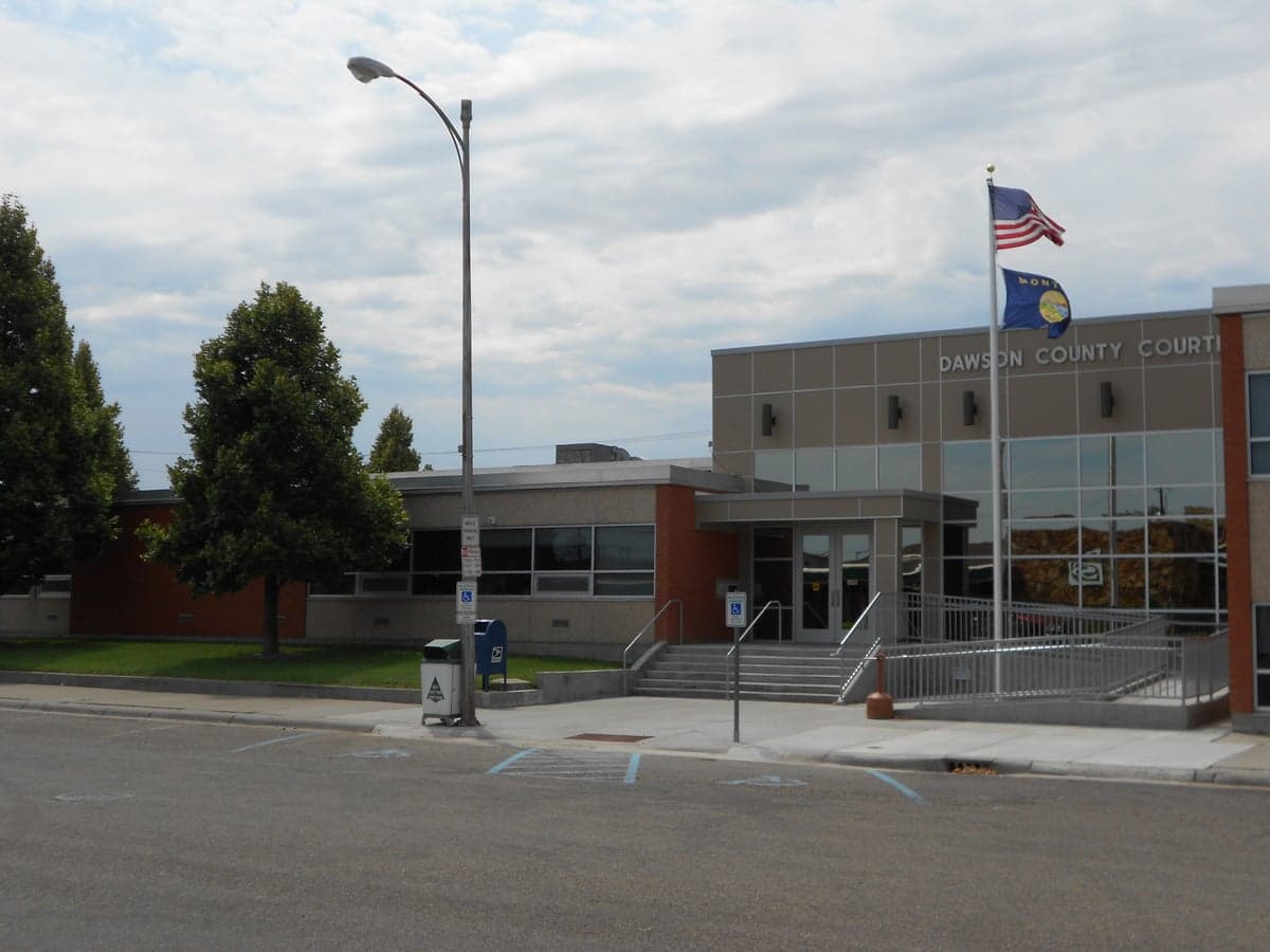
Photo: Wikipedia
Strategic Assessment of Dawson County
Strong survivability profile. Good buffer from population centers, with manageable environmental and tactical risks.
What does the Strategic Assessment tell us?
Our Strategic Assessment grades tactical survivability of an area. Major population centers, military targets, fallout zones, natural disasters, and border exposure all drive risk — lower exposure means a more defensible position in a crisis.
This is heavily inspired by Joel Skousen's Strategic Relocation book. Highly recommended you checkout the book ($)What does this tell us?
Our Strategic Assessment grades tactical survivability of an area. Major population centers, military targets, fallout zones, natural disasters, and border exposure all drive risk — lower exposure means a more defensible position in a crisis.
This is heavily inspired by Joel Skousen's Strategic Relocation book. Highly recommended you checkout the book ($)Strategic Pillars

Key Distances
Strategic Assessment Analysis
Dawson County, Montana, offers a compelling strategic profile for relocation-minded individuals and families prioritizing resilience, self-sufficiency, and distance from densely populated targets. Anchored by the county seat of Glendive and straddling the Yellowstone River, the area combines agricultural self-reliance with a geographic position that places it well outside the primary fallout and disruption zones of major metropolitan centers. For a reader weighing disaster readiness alongside daily livability, Dawson County presents a balanced mix of natural advantages, manageable risks, and practical infrastructure that supports a prepared lifestyle.
Geographic position and natural advantages for long-term stability
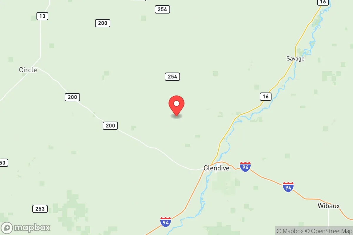
Dawson County sits in eastern Montana, roughly 30 miles west of the North Dakota border and about 200 miles east of Great Falls. Its location along the Yellowstone River — the longest free-flowing river in the contiguous United States — provides a reliable freshwater source that is less contested than river systems in more arid or heavily populated regions. The county's terrain is a mix of rolling plains, badlands, and river bottomlands, offering natural drainage and a climate that supports dryland farming and cattle ranching. Glendive, the county's largest town with a population around 5,000, serves as a regional hub for commerce, healthcare, and transportation, anchored by Interstate 94 and the BNSF Railway mainline. This dual transportation corridor ensures that even in a disrupted scenario, the area retains connectivity to the broader Northern Plains region. The proximity to the Little Missouri National Grassland and the Custer Gallatin National Forest to the south adds a buffer of public land that can support hunting, foraging, and timber resources. For a relocator, the key takeaway is that Dawson County is far enough from the Intermountain West's seismic zones and the Gulf Coast's hurricane tracks to avoid the most common natural disaster patterns, while still enjoying four distinct seasons and adequate annual precipitation for subsistence agriculture.
Risk exposure and proximity to fallout-relevant landmarks
No location is without risk, and Dawson County's strategic assessment must account for its proximity to certain man-made and natural hazards. The most significant concern is the county's position relative to the Bakken oil fields in western North Dakota, with the town of Sidney roughly 60 miles northeast and Williston about 90 miles east. While these energy extraction sites are not primary nuclear targets, they represent industrial infrastructure that could be affected by cascading failures or secondary disruptions in a major conflict scenario. Closer to home, the Glendive area hosts a natural gas processing plant and several crude oil rail terminals along the BNSF line, which could pose localized hazards in the event of an accident or sabotage. On the natural risk side, the county lies within the Northern Plains tornado belt, though severe tornadoes are less frequent here than in the central Plains. The Yellowstone River is subject to spring flooding, particularly in the Glendive area during rapid snowmelt years — the 2011 flood caused significant damage to low-lying properties. However, the county's low population density (roughly 8,500 total residents spread over 2,800 square miles) means that even worst-case events affect relatively few people. For the resilience-minded relocator, the absence of major military bases, nuclear power plants, or large metropolitan centers within a 150-mile radius is a net positive. The nearest city of any strategic targeting significance is Billings, about 200 miles west, which houses an oil refinery and a major rail hub. Minot Air Force Base in North Dakota is roughly 180 miles northeast, placing Dawson County outside the most severe fallout zones for a strike on that facility.
Practical resilience for a relocator: food, water, energy, and defensibility
Dawson County's practical resilience profile is strong, particularly for those willing to invest in land and infrastructure. The Yellowstone River provides a surface water source that is both abundant and relatively clean, though any serious preparedness plan should include well drilling or rainwater catchment as a backup — the county's groundwater aquifers are generally reliable at depths of 50 to 200 feet. Agricultural land is affordable compared to western Montana or the Front Range, with irrigated cropland along the river bottom and dryland wheat and hay operations on the benchlands. A family can realistically acquire 20 to 40 acres with water rights for under $200,000, a fraction of the cost in more popular relocation destinations. The county's agricultural base means that local food production is not just a hobby but an economic reality — Glendive hosts a farmers' market, several grain elevators, and livestock auction facilities that could serve as distribution points in a prolonged disruption. Energy infrastructure is a mixed picture: the county is served by Montana-Dakota Utilities, which relies on coal-fired generation from the nearby Lewis & Clark Station and natural gas from regional fields. For off-grid capability, solar exposure is adequate (roughly 5.2 peak sun hours per day), and wind resources are excellent, particularly on the higher benches east of Glendive. Defensibility is a function of low population density and the county's layout — the Yellowstone River valley offers natural chokepoints at bridge crossings, and the surrounding badlands provide cover and concealment for those familiar with the terrain. The local culture in Dawson County leans heavily toward self-reliance, with a strong tradition of hunting, fishing, and home food preservation. The county's law enforcement presence is modest — the Dawson County Sheriff's Office and Glendive Police Department together field fewer than 30 sworn officers — which means that community cooperation and personal preparedness are the real backbone of security.
The overall strategic picture for Dawson County is one of moderate risk and high reward for the disciplined relocator. It lacks the dramatic mountain scenery or the hyper-prepared communities of Idaho or western Montana, but it compensates with affordable land, a reliable water source, and genuine distance from the most likely targets of a major conflict. The county's agricultural economy and transportation links mean that it is not isolated to the point of being cut off, but it is far enough from major population centers to avoid the worst of cascading urban collapse. For a family or individual who values practical self-sufficiency over ideological purity, and who is willing to put in the work of building a resilient homestead in a place that demands competence rather than just providing scenery, Dawson County deserves serious consideration. The winters are long and cold, the nearest major airport is three hours away in Billings, and the social amenities are limited — but for the reader whose primary concern is strategic positioning in an uncertain future, those trade-offs are precisely the point.

* Values derived from national, state, county, city and local statistics and may differ in a specific area. Last updated: 2026-06-17T12:42:32.000Z
Narrative content on this page is AI-generated and may contain mistakes. Verify any details that matter before acting on them.
ReloMaps may earn a commission from affiliate links at no extra cost to you.

