
Photo: Wikipedia
Strategic Assessment of Custer County
Strong survivability profile. Good buffer from population centers, with manageable environmental and tactical risks.
What does the Strategic Assessment tell us?
Our Strategic Assessment grades tactical survivability of an area. Major population centers, military targets, fallout zones, natural disasters, and border exposure all drive risk — lower exposure means a more defensible position in a crisis.
This is heavily inspired by Joel Skousen's Strategic Relocation book. Highly recommended you checkout the book ($)What does this tell us?
Our Strategic Assessment grades tactical survivability of an area. Major population centers, military targets, fallout zones, natural disasters, and border exposure all drive risk — lower exposure means a more defensible position in a crisis.
This is heavily inspired by Joel Skousen's Strategic Relocation book. Highly recommended you checkout the book ($)Strategic Pillars

Key Distances
Strategic Assessment Analysis
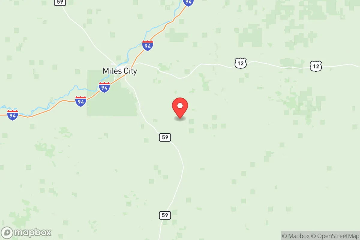
Custer County, Montana, offers a strategic relocation option for those prioritizing resilience and distance from major population centers, sitting in the southeastern part of the state along the Yellowstone River corridor. Its location provides a buffer from the chaos of urban collapse while still maintaining access to essential infrastructure via Interstate 94 and U.S. Highway 212, which connect to regional hubs like Miles City, the county seat. The area’s low population density—roughly 11,000 residents spread over 3,800 square miles—means fewer targets for civil unrest and a lower risk of disease spread during mass casualty events. For a conservative-leaning individual or family seeking a defensible position in an uncertain future, Custer County’s blend of isolation and practical connectivity makes it a serious contender.
Geographic position and natural advantages for long-term survival
Custer County sits in a transitional zone between the Great Plains and the Rocky Mountain foothills, offering a mix of open rangeland and river-bottom timber that supports both agriculture and hunting. The Yellowstone River, one of the last free-flowing major rivers in the lower 48, runs through the county’s northern edge, providing a reliable water source that won’t be compromised by dam failures or upstream contamination as easily as more developed watersheds. Miles City, the county’s only incorporated city of note, sits at the confluence of the Yellowstone and Tongue Rivers, giving residents access to two perennial water bodies for drinking, irrigation, and livestock. The surrounding terrain is mostly rolling prairie with occasional buttes and badlands, offering natural cover and defensible high ground for those who know how to use it. Winters are harsh—average January lows hit 10°F—but this cold acts as a natural barrier against unprepared migrants and limits the spread of vector-borne diseases that thrive in warmer climates. The county’s agricultural base, including cattle ranching and hay production, means that food self-sufficiency is a realistic goal for relocators willing to put in the work.
Risks, exposures, and proximity to fallout-relevant landmarks
While Custer County is far from the coastal megacities and nuclear power plants that dominate prepper concerns, it’s not without its own vulnerabilities. The closest major military installation is Malmstrom Air Force Base near Great Falls, about 250 miles northwest, which houses nuclear missile silos and could be a primary target in a conflict—though the county’s distance and prevailing winds from the west reduce direct fallout risk. More immediate is the Burlington Northern Santa Fe (BNSF) rail line that runs through Miles City, carrying freight including hazardous materials like crude oil and chemicals; a derailment or sabotage event could contaminate local water supplies or trigger fires. The county also sits within 100 miles of the Bakken oil fields in North Dakota, where industrial accidents or intentional attacks on pipelines and refineries could cause localized environmental hazards. For those concerned about civil unrest, the nearest population centers—Billings (140 miles west) and Bismarck, ND (200 miles east)—are large enough to generate refugee flows along I-94, but the county’s sparse population and limited road network make it easier to monitor and control access points. No major ports, nuclear reactors, or chemical weapons depots exist within a 200-mile radius, which is a significant advantage over more industrial regions.
Practical resilience for a relocator: food, water, energy, and defensibility
Water is the county’s strongest asset: the Yellowstone and Tongue Rivers, plus numerous smaller creeks and aquifers, provide year-round supply for those who secure riparian access or drill wells. Miles City’s municipal water system draws from the Yellowstone and treats it to EPA standards, but a grid-down scenario would require private filtration or boiling—something easily managed with the river’s flow. Food production is viable but not effortless: the growing season is short (about 120 frost-free days), so cold-hardy crops like potatoes, carrots, and grains are practical, while livestock—cattle, goats, chickens—thrive on the native grasses. Hunting and fishing are abundant, with mule deer, pronghorn, and wild turkeys in the uplands, and catfish and walleye in the rivers. Energy independence is achievable through solar panels (the area gets over 200 sunny days per year) and small wind turbines, though backup propane or diesel generators are wise for winter storms. Defensibility is high due to the county’s low population density and natural chokepoints: the Yellowstone River bridges and I-94 interchanges can be monitored or blocked, and the open terrain offers clear sightlines for miles. However, relocators should note that the county has no major medical trauma center—the nearest Level II trauma facility is in Billings—so serious injuries or illnesses would require a 2.5-hour drive, a vulnerability in a mass casualty event.
The overall strategic picture for Custer County is one of balanced trade-offs. It offers genuine resilience through abundant water, agricultural potential, and isolation from the most likely targets of a national crisis, but it demands self-reliance in healthcare, energy, and security that not every relocator is prepared for. For a conservative family or single individual willing to invest in off-grid infrastructure and learn the rhythms of a harsh climate, this county provides a defensible base with room to breathe—far from the riots, supply chain collapses, and fallout zones that threaten more populated regions. The key is to act before the next wave of urban refugees discovers what the locals already know: that the Yellowstone River valley is one of the last truly resilient pockets in the lower 48, provided you’re ready to work for it.
* Values derived from national, state, county, city and local statistics and may differ in a specific area. Last updated: 2026-06-02T14:49:56.000Z
Narrative content on this page is AI-generated and may contain mistakes. Verify any details that matter before acting on them.
ReloMaps may earn a commission from affiliate links at no extra cost to you.