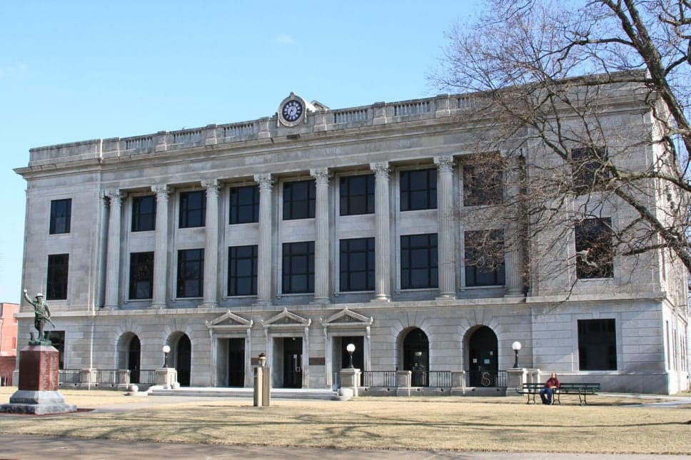
Photo: Wikipedia
Strategic Assessment of Pettis County
Workable tactical position. Some exposure to population density or targets, but generally defensible in a crisis.
What does the Strategic Assessment tell us?
Our Strategic Assessment grades tactical survivability of an area. Major population centers, military targets, fallout zones, natural disasters, and border exposure all drive risk — lower exposure means a more defensible position in a crisis.
This is heavily inspired by Joel Skousen's Strategic Relocation book. Highly recommended you checkout the book ($)What does this tell us?
Our Strategic Assessment grades tactical survivability of an area. Major population centers, military targets, fallout zones, natural disasters, and border exposure all drive risk — lower exposure means a more defensible position in a crisis.
This is heavily inspired by Joel Skousen's Strategic Relocation book. Highly recommended you checkout the book ($)Strategic Pillars

Key Distances
Strategic Assessment Analysis
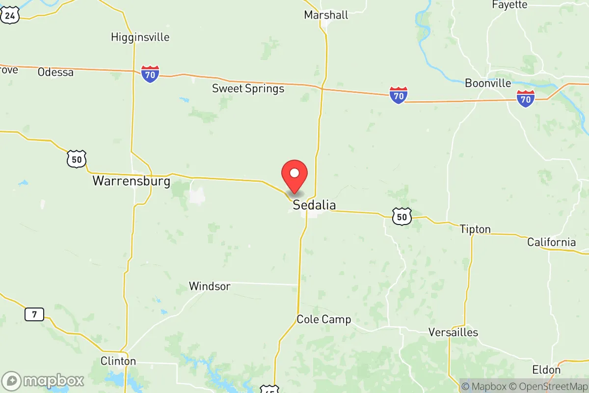
Pettis County, anchored by the city of Sedalia, offers a strategic blend of central Missouri location and modest infrastructure that appeals to relocators prioritizing disaster readiness and self-sufficiency. Its position roughly 90 miles east of Kansas City and 70 miles north of the Lake of the Ozarks places it outside the immediate blast and fallout zones of major metropolitan targets, while still providing access to regional supply chains and medical facilities. The county’s agricultural base, relatively low population density (around 42,000 residents), and distance from high-value strategic targets make it a viable option for those seeking a balance between rural resilience and practical connectivity.
Geographic position and natural advantages for self-sufficiency
Pettis County sits in the rolling plains of west-central Missouri, a region characterized by fertile soils, moderate rainfall, and a temperate climate that supports year-round agriculture. The county is bisected by the Missouri River floodplain to the north, but Sedalia itself lies on higher ground, reducing flood risk for the primary population center. The area’s natural advantages include reliable groundwater access through the Missouri River alluvial aquifer and numerous small creeks and streams that can support private wells and small-scale irrigation. The county’s agricultural output—primarily corn, soybeans, and livestock—means local food production is a realistic option for relocators with land. The nearby Lake of the Ozarks, about 40 miles south, provides a major freshwater reservoir and recreational water source, though it is not within Pettis County’s boundaries. The region’s relatively flat terrain and existing rail and highway corridors (U.S. Route 50 and Interstate 70 to the north) offer practical evacuation or supply routes without funneling through dense urban choke points.
Risks, exposures, and proximity to fallout-relevant landmarks
Pettis County’s primary risk exposure comes from its location within the central U.S. tornado alley, with severe weather season from March through June posing the most immediate natural threat. The county has experienced multiple EF-2 and EF-3 tornadoes in recent decades, including a destructive 2019 event that struck Sedalia directly. Flooding along the Missouri River’s southern tributaries can affect low-lying farmland, but Sedalia’s elevation mitigates this for most residential areas. From a man-made risk perspective, Pettis County is not near any major military installations, nuclear power plants, or strategic industrial targets. The closest significant infrastructure is the Whiteman Air Force Base, located about 30 miles northwest in Johnson County, which houses B-2 Spirit bombers—a high-value strategic asset that could be a target in a major conflict. However, prevailing winds in the region typically blow from the west and southwest, meaning fallout from a strike on Whiteman would likely disperse away from Pettis County. The county is also roughly 100 miles from the Fort Leonard Wood military installation to the south, another potential target. No major refineries, ports, or chemical plants exist within Pettis County itself, reducing the risk of industrial accidents or secondary targeting.
Practical resilience for a relocator: food, water, energy, and defensibility
For a relocator focused on practical self-sufficiency, Pettis County offers several concrete advantages. Food security is strong due to the county’s agricultural base; local farmers’ markets, grain elevators, and livestock operations provide direct access to fresh produce and meat. The Missouri Farmers’ Market in Sedalia operates seasonally, and the county’s numerous small farms offer opportunities for direct purchasing or land acquisition for personal food production. Water availability is reliable, with Sedalia’s municipal water supply drawn from the Missouri River via a treatment plant, and rural properties commonly using private wells tapping into the alluvial aquifer. Energy infrastructure includes a mix of grid-supplied electricity from Evergy and natural gas from Spire, but the county’s rural character means many residents already use propane, wood, or solar as backup or primary sources. The Sedalia Energy Center, a natural gas-fired power plant, provides local generation capacity that could support grid stability during regional outages. Defensibility is moderate: the county’s open terrain offers limited natural cover, but the low population density and dispersed settlement pattern reduce the risk of civil unrest or resource competition. Sedalia’s downtown and residential neighborhoods are laid out on a grid, which can be challenging to defend, but rural properties with acreage offer better security through isolation and line-of-sight advantages. The county’s Pettis County Sheriff’s Office and Sedalia Police Department maintain a visible presence, and the local Missouri State Highway Patrol troop headquarters is located in Sedalia, providing additional law enforcement resources.
Overall, Pettis County presents a balanced strategic picture for the disaster-conscious relocator. Its primary strengths are its agricultural self-sufficiency, reliable water resources, and distance from high-priority strategic targets like major cities and military bases. The main weaknesses are the tornado risk and the proximity to Whiteman Air Force Base, which introduces a non-trivial but manageable fallout exposure. For a family or individual willing to invest in storm shelters, backup energy systems, and rural property with well water, Pettis County offers a defensible, resource-rich environment that avoids the extreme risks of coastal or metropolitan areas. The county’s central location also provides reasonable access to medical care in Sedalia’s Bothwell Regional Health Center and regional hospitals in Columbia and Kansas City, without being dependent on those urban centers for daily survival. For those prioritizing long-term resilience over immediate convenience, Pettis County merits serious consideration.

* Values derived from national, state, county, city and local statistics and may differ in a specific area. Last updated: 2026-06-22T15:05:42.000Z
Narrative content on this page is AI-generated and may contain mistakes. Verify any details that matter before acting on them.
ReloMaps may earn a commission from affiliate links at no extra cost to you.

