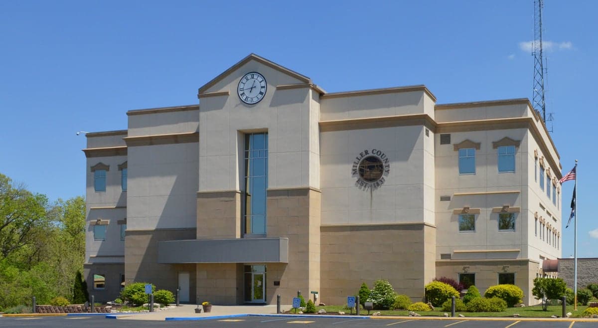
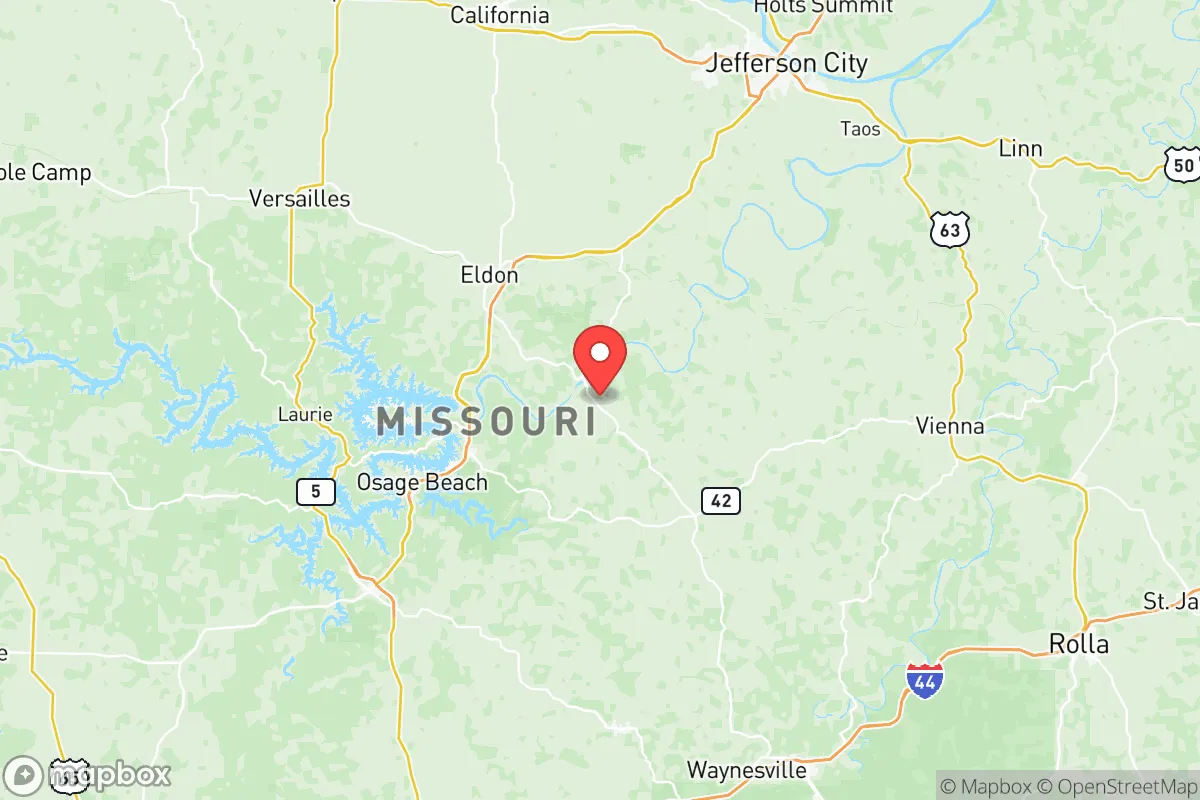
Photo: Wikipedia
Strategic Assessment of Miller County
Strong survivability profile. Good buffer from population centers, with manageable environmental and tactical risks.
What does the Strategic Assessment tell us?
Our Strategic Assessment grades tactical survivability of an area. Major population centers, military targets, fallout zones, natural disasters, and border exposure all drive risk — lower exposure means a more defensible position in a crisis.
This is heavily inspired by Joel Skousen's Strategic Relocation book. Highly recommended you checkout the book ($)What does this tell us?
Our Strategic Assessment grades tactical survivability of an area. Major population centers, military targets, fallout zones, natural disasters, and border exposure all drive risk — lower exposure means a more defensible position in a crisis.
This is heavily inspired by Joel Skousen's Strategic Relocation book. Highly recommended you checkout the book ($)Strategic Pillars

Key Distances
Strategic Assessment Analysis
Miller County, Missouri, offers a compelling strategic position for relocators prioritizing resilience and self-sufficiency, combining the quiet security of the Ozark Plateau with practical access to regional infrastructure. Located in central Missouri along the Lake of the Ozarks, the county provides a balance of geographic isolation from major metropolitan fallout zones while remaining within a reasonable distance of essential services and supply chains. For those assessing long-term preparedness, Miller County’s terrain, water resources, and relatively low population density create a foundation for sustainable living, though proximity to certain landmarks requires careful consideration.
Geographic position and natural advantages for long-term security
Miller County sits squarely within the Ozark Plateau, a region characterized by rolling hills, limestone bluffs, and abundant spring-fed waterways that offer natural defensibility and resource access. The county’s defining feature is the Lake of the Ozarks, a 54,000-acre reservoir created by Bagnell Dam, which provides a massive, reliable freshwater source—critical for any resilience plan. The lake’s extensive shoreline and numerous coves create natural barriers and chokepoints, making large portions of the county inherently more defensible than flat, open terrain. The county seat, Tuscumbia, and the largest town, Eldon, are situated away from major interstate corridors, reducing the risk of being caught in evacuation traffic or refugee flows during a crisis. The area’s karst topography, with its caves and sinkholes, also offers potential for natural shelter and secure storage, though this same geology requires careful well and septic planning. The region’s moderate climate, with average annual rainfall around 45 inches, supports year-round agriculture and reduces the risk of extreme weather events like hurricanes or wildfires that plague other parts of the country.
Risks, exposures, and proximity to fallout-relevant landmarks
While Miller County benefits from its central location, it is not immune to man-made and natural risks that a serious preparedness-minded relocator must weigh. The most significant concern is the Bagnell Dam itself, a 2,543-foot-long hydroelectric structure that impounds the Osage River. Though well-maintained by Ameren Missouri, any catastrophic failure would inundate downstream areas along the Osage River valley, including portions of Miller County near the dam. The county’s proximity to the Lake of the Ozarks also means it lies within the potential shadow of a major tourist destination—during a crisis, the lake’s summer population of over 100,000 could create sudden resource strain. On the man-made risk front, Miller County is roughly 90 miles from the Callaway Nuclear Plant near Fulton, Missouri, placing it outside the most severe fallout zones but within a plausible emergency planning zone. More critically, the county sits about 120 miles from Whiteman Air Force Base in Johnson County, home to the B-2 Spirit bomber fleet—a high-value strategic target in any conflict scenario. While not directly in a blast or fallout corridor, the prevailing westerly winds could carry particulate matter from a strike on Whiteman toward central Missouri. The county also lies within 150 miles of the Lake City Army Ammunition Plant near Independence, a major small-caliber ammunition production facility that could be a secondary target. For the relocator, these distances mean Miller County offers a buffer, but not complete immunity, from the most severe consequences of a major conflict.
Practical resilience for a relocator: food, water, energy, and defensibility
Miller County’s practical resilience strengths lie in its water abundance and agricultural potential, though energy and food security require deliberate planning. The Lake of the Ozarks and the Osage River provide virtually unlimited surface water, but treatment and storage are the relocator’s responsibility—boiling, filtration, or UV systems are essential. Groundwater is generally accessible via wells, with typical depths of 100-300 feet in the limestone aquifer, though yields vary and require professional assessment. For food production, the county’s growing season averages 190 days, suitable for corn, soybeans, hay, and livestock. The rolling terrain supports pasture-based cattle operations, and many properties already have established gardens or orchards. Local food infrastructure is modest but functional: Eldon has a farmers’ market, and the county hosts several small-scale producers of meat, eggs, and produce. For energy, the grid is served by Ameren Missouri, but rural areas are prone to outages from ice storms and thunderstorms. Solar potential is moderate—the area receives about 4.5 peak sun hours per day—making off-grid solar with battery backup a viable but not optimal option. Wood heating is practical given the abundant timber, and many older homes already have wood stoves or fireplaces. Defensibility is a mixed picture: the hilly terrain and winding roads create natural observation points and chokepoints, but the county’s many lake-access subdivisions and vacation homes mean a significant transient population during peak seasons. A relocator should prioritize properties with good sightlines, limited road access, and distance from major public recreation areas. The county’s law enforcement presence is limited—the Miller County Sheriff’s Office has roughly 15 deputies for a county of 25,000 residents—so community-based security and personal preparedness are paramount.
The overall strategic picture for Miller County is one of moderate resilience with clear trade-offs. Its water resources, defensible terrain, and distance from primary strategic targets make it a solid choice for a relocator seeking a balance between isolation and access. The presence of the Lake of the Ozarks and Bagnell Dam introduces specific risks that require mitigation—flood zone awareness, dam failure planning, and securing property away from major tourist corridors. The county’s agricultural capacity and moderate climate support long-term self-sufficiency, but the relocator must invest in water treatment, energy backup, and community relationships to fully realize that potential. For a family or individual serious about disaster readiness, Miller County offers a realistic foundation—not a bunker, but a place where smart preparation can yield genuine security without the extremes of remote mountain or desert living. The key is to choose a location away from the lake’s busiest areas, secure a reliable water source, and build ties with the existing rural community, which tends toward self-reliance and mutual aid. In a crisis, Miller County’s greatest asset may be its people—neighbors who know how to hunt, garden, fix machinery, and look out for each other. That, more than any geographic feature, is what makes the area worth a serious look for the preparedness-minded relocator.

* Values derived from national, state, county, city and local statistics and may differ in a specific area. Last updated: 2026-11-10T10:52:16.000Z
Narrative content on this page is AI-generated and may contain mistakes. Verify any details that matter before acting on them.
ReloMaps may earn a commission from affiliate links at no extra cost to you.

