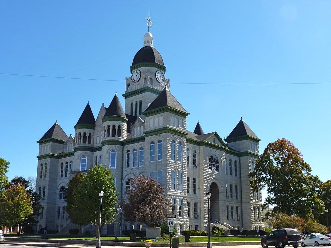
Photo: Wikipedia
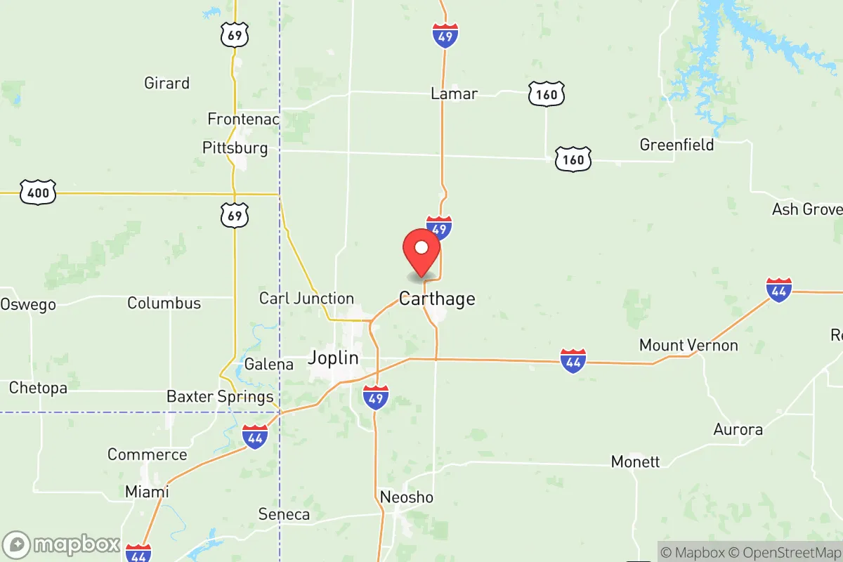
Strategic Assessment of Jasper County
Workable tactical position. Some exposure to population density or targets, but generally defensible in a crisis.
What does the Strategic Assessment tell us?
Our Strategic Assessment grades tactical survivability of an area. Major population centers, military targets, fallout zones, natural disasters, and border exposure all drive risk — lower exposure means a more defensible position in a crisis.
This is heavily inspired by Joel Skousen's Strategic Relocation book. Highly recommended you checkout the book ($)What does this tell us?
Our Strategic Assessment grades tactical survivability of an area. Major population centers, military targets, fallout zones, natural disasters, and border exposure all drive risk — lower exposure means a more defensible position in a crisis.
This is heavily inspired by Joel Skousen's Strategic Relocation book. Highly recommended you checkout the book ($)Strategic Pillars

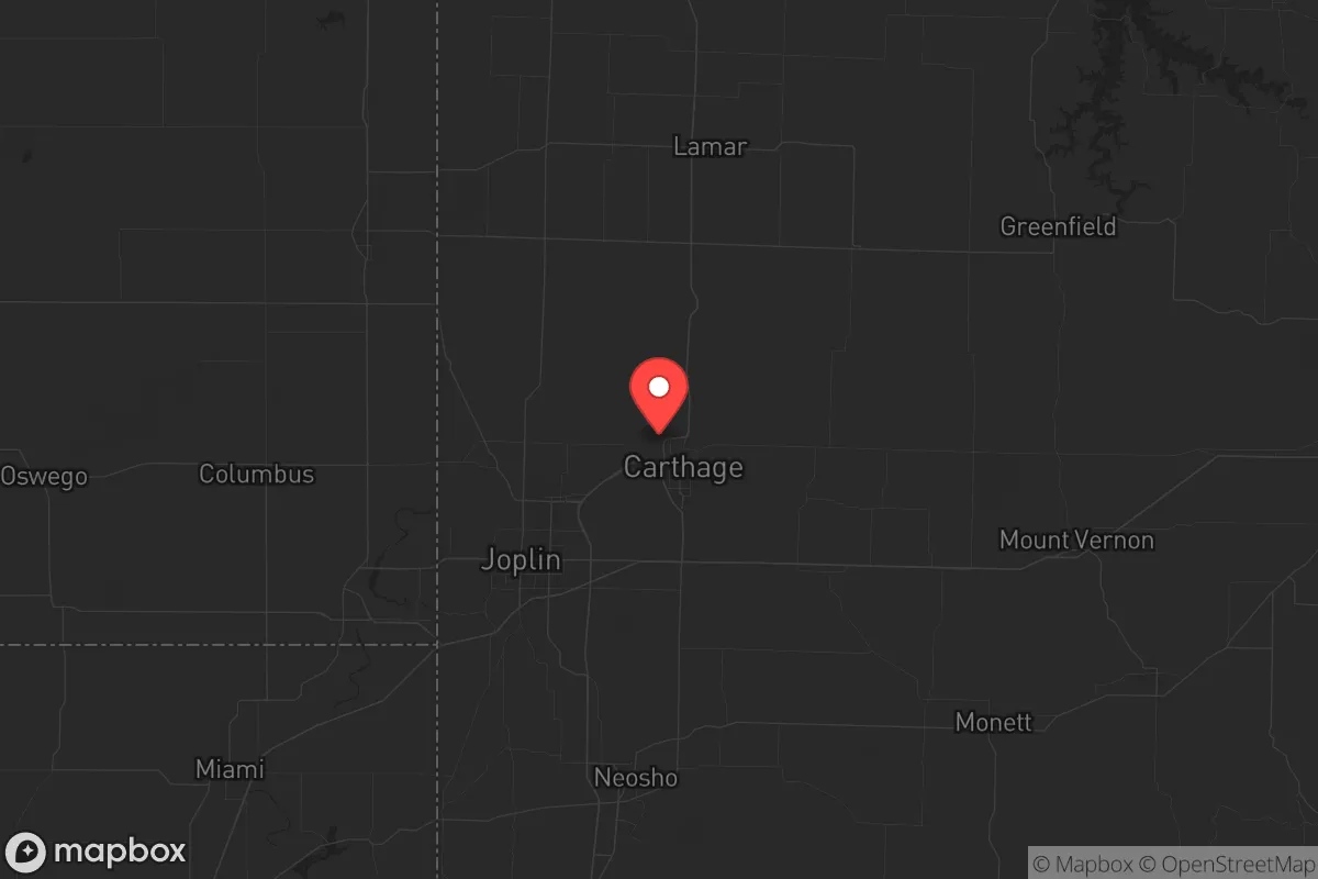
Key Distances
Strategic Assessment Analysis
Jasper County, Missouri, offers a compelling strategic position for relocators prioritizing resilience and self-sufficiency, balancing proximity to essential resources with a buffer from the highest-density risks of major metropolitan areas. Anchored by the city of Joplin and including towns like Carthage, Webb City, and Carl Junction, the county sits at the crossroads of Interstates 44 and 49, providing robust logistical access without the congestion and vulnerability of a major hub. Its location in the southwestern corner of the state, near the borders of Kansas and Oklahoma, places it within a day’s drive of multiple regional centers while maintaining a distinctly rural-to-suburban character that supports a preparedness-minded lifestyle.
Geographic position and natural advantages for disaster readiness
Jasper County’s geography provides several inherent resilience benefits. The region sits atop the Ozark Plateau, characterized by rolling hills, limestone bedrock, and abundant groundwater aquifers, which offer reliable water access and natural drainage that reduces flood risk compared to flatter, flood-prone plains. The county’s position in the central United States places it outside the highest-risk zones for hurricanes, storm surges, and seismic activity, though it lies within Tornado Alley and experiences severe thunderstorms. The local topography—with wooded areas, open farmland, and modest elevation changes—supports both agricultural self-sufficiency and defensible property layouts, as many parcels offer natural screening and multiple access points. The presence of the Spring River and numerous creeks, including Center Creek and Shoal Creek, provides surface water sources for irrigation and emergency use, though treatment is necessary for potable consumption. For a relocator, the ability to drill a private well (typical depths of 100–300 feet) and the region’s moderate annual rainfall of around 45 inches mean water security is achievable without extreme expense or infrastructure dependence.
Risks, exposures, and proximity to fallout-relevant landmarks
While Jasper County avoids the highest-consequence man-made risks, it is not without exposure. The most significant nearby fallout-relevant landmark is the Kansas City metropolitan area, roughly 150 miles north, which includes major transportation hubs, industrial facilities, and a population center that could be a target in a conflict scenario. Closer to home, the Joplin Regional Airport and the county’s own industrial base—including a Leggett & Platt manufacturing campus and a Schreiber Foods dairy processing plant—are moderate-risk assets that could draw secondary effects. The Fort Leonard Wood military installation, located about 120 miles east, is a U.S. Army training and engineering center that could be a strategic target, though its distance and the intervening terrain reduce direct fallout risk to Jasper County. More immediate natural risks include tornadoes, as tragically demonstrated by the 2011 Joplin tornado (EF5, 161 fatalities), which underscores the need for storm shelters and reinforced construction. The county also lies near the New Madrid Seismic Zone (about 200 miles southeast), which could produce significant earthquakes, though local building codes are not designed for major seismic events. For a relocator, the key takeaway is that Jasper County’s risk profile is moderate: it avoids the highest-density targets of coastal cities and major military hubs, but it is not immune to natural disasters or secondary effects from regional infrastructure.
Practical resilience for a relocator: food, water, energy, and defensibility
For a family or individual serious about self-sufficiency, Jasper County offers strong fundamentals. Food production is viable: the county is part of Missouri’s agricultural heartland, with fertile soils supporting row crops (corn, soybeans, wheat) and livestock (cattle, poultry). Local farmers’ markets in Joplin, Carthage, and Webb City provide fresh produce, and the growing network of small-scale farms and homesteads means seeds, livestock, and equipment are accessible. The Jasper County Extension Center offers resources on gardening, food preservation, and soil testing. Water security is achievable through private wells, with the Ozark aquifer providing reliable groundwater at moderate depths. Rainwater catchment is also practical given annual precipitation, and surface water from the Spring River and local creeks can supplement emergency supplies with proper filtration. Energy resilience is supported by the region’s moderate solar insolation (about 4.5 peak sun hours per day), making rooftop solar a viable investment, especially with net metering policies from Liberty Utilities and Empire District Electric. Wood heating is common in rural areas, with ample timber resources for firewood. Defensibility varies by property: rural parcels with long driveways, natural tree lines, and multiple egress routes offer better security than suburban subdivisions. The county’s low population density (about 130 people per square mile outside Joplin) and strong community networks in towns like Carl Junction and Sarcoxie support mutual aid and neighborhood watch dynamics. However, relocators should note that local law enforcement is limited in rural areas, and personal security measures—fencing, lighting, communication systems—are prudent.
The overall strategic picture for Jasper County is one of balanced opportunity for the preparedness-minded relocator. It offers a genuine middle ground: close enough to regional resources (healthcare, supplies, transportation) to avoid isolation, yet far enough from high-risk targets and dense populations to reduce exposure to man-made disasters. The county’s agricultural base, water availability, and moderate climate support long-term self-sufficiency, while its history of tornadoes and proximity to seismic zones demand practical mitigation measures like storm shelters and emergency supplies. For a family or individual willing to invest in reinforced infrastructure, private water and energy systems, and community engagement, Jasper County represents a defensible, resource-rich location that avoids the extremes of both urban vulnerability and remote inaccessibility. It is not a fortress, but it is a place where resilience is achievable with deliberate planning—and that is a rare and valuable combination in today’s strategic landscape.
* Values derived from national, state, county, city and local statistics and may differ in a specific area. Last updated: 2026-06-12T19:39:17.000Z
Narrative content on this page is AI-generated and may contain mistakes. Verify any details that matter before acting on them.
ReloMaps may earn a commission from affiliate links at no extra cost to you.