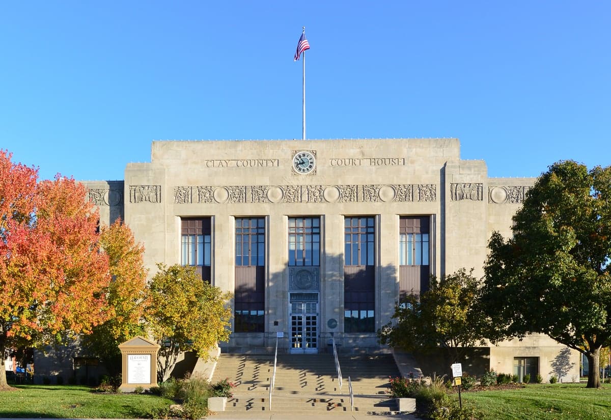
Photo: Wikipedia
Strategic Assessment of Clay County
Meaningful friction. Expect exposure to either population pressure, blast zones, or natural disaster risk. Consider buying a retreat property.
What does the Strategic Assessment tell us?
Our Strategic Assessment grades tactical survivability of an area. Major population centers, military targets, fallout zones, natural disasters, and border exposure all drive risk — lower exposure means a more defensible position in a crisis.
This is heavily inspired by Joel Skousen's Strategic Relocation book. Highly recommended you checkout the book ($)What does this tell us?
Our Strategic Assessment grades tactical survivability of an area. Major population centers, military targets, fallout zones, natural disasters, and border exposure all drive risk — lower exposure means a more defensible position in a crisis.
This is heavily inspired by Joel Skousen's Strategic Relocation book. Highly recommended you checkout the book ($)Strategic Pillars

Key Distances
Strategic Assessment Analysis
Clay County, Missouri, offers a compelling mix of strategic depth and practical livability for those prioritizing resilience and self-sufficiency, all while maintaining proximity to Kansas City’s economic engine. Its position along the Missouri River, combined with a mix of suburban, rural, and agricultural land, provides a buffer from dense urban vulnerabilities while still granting access to critical infrastructure. For a relocator weighing disaster readiness, the county’s layered geography—from river bluffs to rolling farmland—creates multiple options for secure positioning, though it is not without its own exposures.
Geographic position and natural advantages for long-term stability
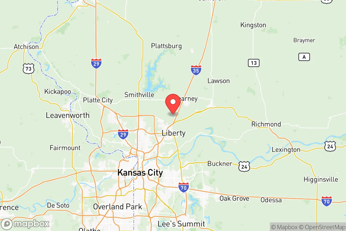
Clay County sits in the heart of the Missouri River Valley, with the river forming its southern and western borders. This gives the area a natural water source and fertile bottomland, but also a defensible terrain: the river’s bluffs and wooded hills offer elevated sites that are less prone to flooding and provide good vantage points. The county’s location is roughly 30 minutes from downtown Kansas City, Missouri, and about 20 minutes from Kansas City, Kansas, placing it close enough for employment and supply runs but far enough to avoid the worst of an urban crisis. Key towns like Liberty (the county seat), Excelsior Springs, Smithville, and Kearney each have distinct characters—Liberty is a historic college town with a strong local government, while Excelsior Springs is known for its natural springs and small-town resilience. The county’s position also puts it within a two-hour drive of Fort Leavenworth in Kansas, a major military installation that could serve as a stability anchor during regional disruptions. The Missouri River itself is a double-edged asset: it provides water and transport, but its floodplain requires careful site selection. The best long-term stability lies on the higher ground north of the river, especially around Smithville Lake and the rural tracts near Kearney.
Risks, exposures, and proximity to fallout-relevant landmarks
Clay County’s primary risk is its proximity to Kansas City’s metropolitan complex, which includes several potential fallout-relevant targets. The Kansas City International Airport (MCI) is just west of the county line, and the region hosts major rail yards, fuel storage facilities, and the Kansas City Refinery (a Coffeyville Resources facility) roughly 40 miles south. While Clay County itself has no major refineries or military bases, its position along Interstate 35 and U.S. Highway 69 means it lies on a major north-south logistics corridor that could be a target or chokepoint in a conflict. Natural hazards are moderate: the area is in Tornado Alley, with a real but manageable risk of severe storms, and the Missouri River floodplain can see significant inundation during heavy rain years—the 2019 floods affected parts of the county near the river. The county’s population density is relatively low for a suburban area (about 250,000 people total), but the southern townships near the river are more exposed to both flooding and fallout drift from a Kansas City event. The best defensive positioning is in the northern half of the county, around Smithville and Holt, where terrain is hillier and population is sparser. The Smithville Lake area, managed by the U.S. Army Corps of Engineers, offers a large water reservoir and recreational land that could support a dispersed population. However, the county’s lack of a major military base or hardened government facility means it would not be a primary target, but its proximity to Kansas City’s infrastructure makes it a secondary risk zone.
Practical resilience for a relocator: food, water, energy, and defensibility
For someone serious about self-sufficiency, Clay County offers a workable but not ideal baseline. Water is the strongest asset: the Missouri River provides an abundant surface source, and the county’s groundwater is generally good, though well depths vary. Smithville Lake, covering over 7,000 acres, is a reliable backup for both drinking water and irrigation. Food production is feasible, with much of the county still zoned for agriculture—row crops (corn, soybeans) and livestock operations are common in the northern and eastern townships. Farmers’ markets in Liberty and Excelsior Springs are active, and the county’s agricultural extension office offers resources for home gardening and small-scale farming. Energy is a mixed picture: the grid is tied to the regional system (Evergy and Clay County Electric Cooperative), but rural areas are more prone to outages during storms. Solar potential is moderate—the region gets about 200 sunny days per year—and backup generators are a practical investment. Defensibility is where the county shines for a prepared relocator. The rural northern half offers properties with good sightlines, wooded cover, and limited road access, making it easier to secure a homestead. The county’s law enforcement presence is solid (Clay County Sheriff’s Office and local police in Liberty, Kearney, and Smithville), but in a prolonged crisis, residents would need to rely on mutual aid networks. The Excelsior Springs area, with its historic reliance on natural springs and a tight-knit community, is often cited by local preppers as a favorable zone. The biggest practical gap is medical infrastructure: Liberty Hospital and North Kansas City Hospital are the main facilities, but both are within 20 minutes of the urban core and could be overwhelmed in a major event. Stockpiling medical supplies and having a plan for remote care is advisable.
Overall, Clay County presents a balanced strategic picture for the resilience-minded relocator. Its greatest strengths are its abundant water, agricultural potential, and the ability to find defensible rural properties within a short drive of urban amenities. The primary weaknesses are its proximity to Kansas City’s target-rich environment and the moderate but real tornado and flood risks. For a family or individual willing to invest in site selection—choosing higher ground north of the river, away from major highways—and in basic preparedness measures like a well, solar panels, and a garden, the county offers a solid foundation for long-term stability. It is not a remote bunker location, but it is a practical, livable middle ground for those who want to be near civilization without being consumed by it.

* Values derived from national, state, county, city and local statistics and may differ in a specific area. Last updated: 2026-07-14T11:12:26.000Z
Narrative content on this page is AI-generated and may contain mistakes. Verify any details that matter before acting on them.
ReloMaps may earn a commission from affiliate links at no extra cost to you.

