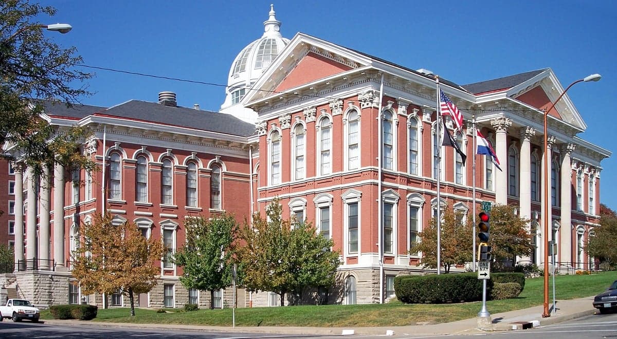
Photo: Wikipedia
Strategic Assessment of Buchanan County
Workable tactical position. Some exposure to population density or targets, but generally defensible in a crisis.
What does the Strategic Assessment tell us?
Our Strategic Assessment grades tactical survivability of an area. Major population centers, military targets, fallout zones, natural disasters, and border exposure all drive risk — lower exposure means a more defensible position in a crisis.
This is heavily inspired by Joel Skousen's Strategic Relocation book. Highly recommended you checkout the book ($)What does this tell us?
Our Strategic Assessment grades tactical survivability of an area. Major population centers, military targets, fallout zones, natural disasters, and border exposure all drive risk — lower exposure means a more defensible position in a crisis.
This is heavily inspired by Joel Skousen's Strategic Relocation book. Highly recommended you checkout the book ($)Strategic Pillars

Key Distances
Strategic Assessment Analysis
Buchanan County, Missouri, anchored by the city of St. Joseph, presents a compelling strategic profile for the relocation-minded reader focused on resilience and self-sufficiency. Its position along the Missouri River, roughly 50 miles north of Kansas City, offers a blend of access to regional resources and a buffer from the denser urban core, making it a location worth serious consideration for those prioritizing preparedness. The county’s historical role as a transportation and agricultural hub provides a foundation of infrastructure and local industry that can support a more independent lifestyle, though its proximity to certain national-level assets introduces specific risk factors that must be weighed carefully.
Geographic position and natural advantages for self-sufficiency
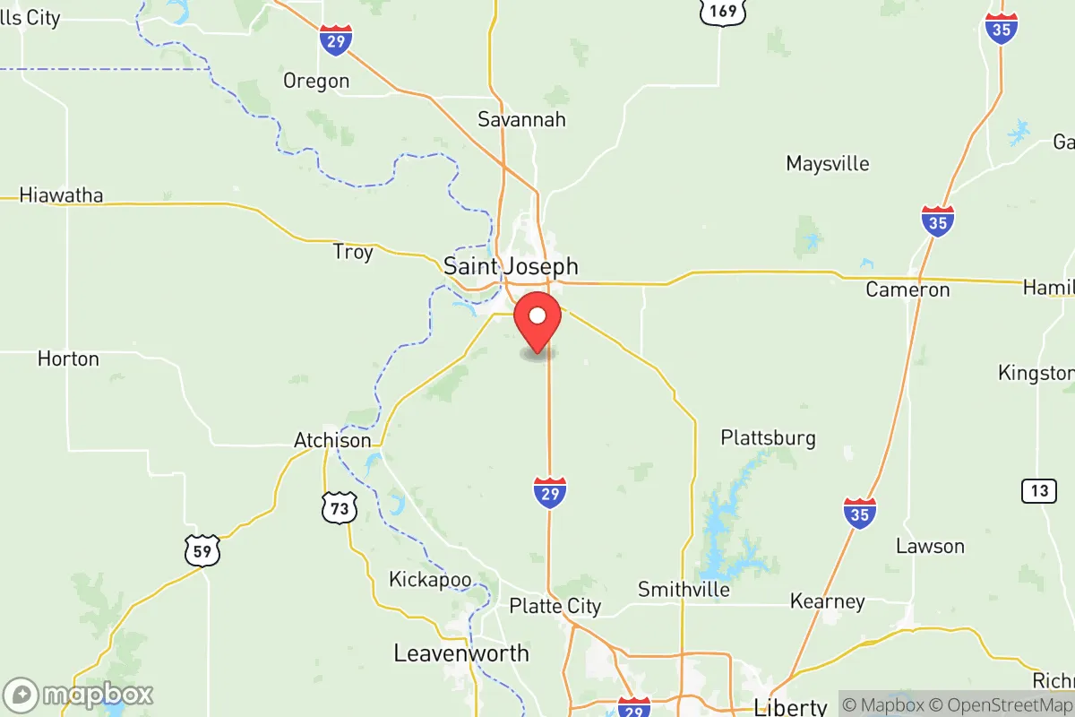
Buchanan County’s geography is defined by the Missouri River, which carves through its eastern edge, and the rolling, fertile plains of the Glaciated Plains region. This location offers a distinct advantage: the county sits at a strategic distance from the major metropolitan area of Kansas City, close enough to access its medical centers, supply chains, and employment opportunities, yet far enough to avoid the worst of urban congestion and potential fallout from a major event. The river itself is a double-edged sword—it provides a reliable water source and a historical transportation corridor, but also a floodplain that requires careful site selection. The surrounding countryside is predominantly agricultural, with vast tracts of farmland producing corn, soybeans, and livestock, which directly supports a local food system. For a relocator, this means access to fresh, locally grown food is not a theoretical luxury but a practical reality, with farmers' markets and direct-from-farm sales common in communities like Easton and DeKalb. The terrain is generally open and gently rolling, offering good visibility and defensible positions on higher ground away from the river bottoms, though it lacks the natural cover of heavily forested regions. The climate is continental, with hot, humid summers and cold winters, which demands a robust approach to heating and cooling, but the growing season is long enough to support a substantial home garden and small-scale livestock operations.
Risks, exposures, and proximity to fallout-relevant landmarks
No strategic assessment is complete without a clear-eyed look at the risks, and Buchanan County has several that demand attention. The most significant is its proximity to Whiteman Air Force Base, located roughly 70 miles southeast in Johnson County, Missouri. This base is home to the B-2 Spirit stealth bomber and is a high-value strategic target in any major conflict scenario. While 70 miles provides a substantial buffer from a direct strike, the potential for fallout patterns, electromagnetic pulse (EMP) effects, and secondary disruptions from a strike on Whiteman cannot be ignored. The prevailing winds in the region are from the west and southwest, meaning fallout from a Whiteman event would likely drift northeast, away from Buchanan County, but this is a variable that requires constant monitoring. Additionally, the county lies within the broader Kansas City metropolitan area’s sphere of influence, which includes Kansas City International Airport (MCI) and the region’s transportation hubs—these are potential targets for conventional or cyber attacks. On the natural disaster front, the primary risk is Missouri River flooding, which has historically devastated low-lying areas of St. Joseph and surrounding communities like Elwood, Kansas (just across the river). The 2019 floods caused significant damage and demonstrated the need for elevated building sites and robust flood insurance. Tornadoes are a seasonal threat, as the county sits in the heart of Tornado Alley, requiring a well-prepared storm shelter or basement. The area is also seismically quiet, with no significant earthquake risk, and is far from coastal storm surge zones, which is a net positive for long-term stability.
Practical resilience for a relocator: food, water, energy, and defensibility
For the individual or family serious about self-sufficiency, Buchanan County offers a mixed but workable picture. Water is the most critical resource, and the Missouri River provides an abundant, if untreated, source. However, reliance on the river requires a plan for filtration, pumping, and storage, as the water is heavily silt-laden and carries agricultural runoff. Municipal water in St. Joseph is treated and reliable, but a well on a rural property is the gold standard for independence—groundwater in the region is generally good, though depth varies. The county’s agricultural base means that local food production is not just possible but deeply embedded in the culture. Grain elevators, feed stores, and livestock auctions are common, and a relocator with even modest land can raise chickens, goats, or a garden with relative ease. The energy grid is part of the larger Midcontinent Independent System Operator (MISO) network, which has faced reliability challenges during extreme weather events, such as the 2021 winter storm. Solar potential is moderate, with the region averaging around 200 sunny days per year, making solar panels a viable supplement but not a sole source. Wood heating is a practical option given the availability of timber from the river bottoms and local woodlots. Defensibility is a nuanced topic: the open terrain offers good lines of sight but limited cover, meaning a rural property with a perimeter fence, a well-stocked root cellar, and a clear view of approach roads is ideal. The county’s population density is low outside of St. Joseph, with many unincorporated areas and small towns like Rushville and Amazonia offering a degree of isolation. The local law enforcement presence is adequate but not overwhelming, so a relocator should plan for self-defense and community mutual aid networks. The county’s strong agricultural community also means a high level of practical skills—farming, mechanical repair, and animal husbandry—are common, which can be a valuable resource for newcomers willing to integrate.
The overall strategic picture for Buchanan County is one of cautious optimism for the preparedness-minded relocator. It offers a genuine balance of access to urban resources and a rural, self-sufficient lifestyle, with a strong local food system and a water source that, while requiring management, is reliable. The primary risks—flooding, tornadoes, and proximity to a strategic military target—are real but manageable with proper site selection, construction, and planning. The county is not a remote bunker location; it is a working, living community where resilience is built through relationships and local knowledge. For a single individual or family willing to invest in a well, a storm shelter, and a network of like-minded neighbors, Buchanan County provides a solid foundation for a prepared life, without the extreme isolation or cost of more remote regions. The key is to choose high ground, build redundancy into water and power systems, and engage with the local agricultural economy—not as a survivalist outlier, but as a contributing member of a community that already understands the value of self-reliance.

* Values derived from national, state, county, city and local statistics and may differ in a specific area. Last updated: 2026-07-10T00:26:37.000Z
Narrative content on this page is AI-generated and may contain mistakes. Verify any details that matter before acting on them.
ReloMaps may earn a commission from affiliate links at no extra cost to you.

