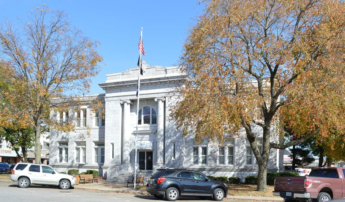
Photo: Wikipedia
Strategic Assessment of Barry County
Strong survivability profile. Good buffer from population centers, with manageable environmental and tactical risks.
What does the Strategic Assessment tell us?
Our Strategic Assessment grades tactical survivability of an area. Major population centers, military targets, fallout zones, natural disasters, and border exposure all drive risk — lower exposure means a more defensible position in a crisis.
This is heavily inspired by Joel Skousen's Strategic Relocation book. Highly recommended you checkout the book ($)What does this tell us?
Our Strategic Assessment grades tactical survivability of an area. Major population centers, military targets, fallout zones, natural disasters, and border exposure all drive risk — lower exposure means a more defensible position in a crisis.
This is heavily inspired by Joel Skousen's Strategic Relocation book. Highly recommended you checkout the book ($)Strategic Pillars

Key Distances
Strategic Assessment Analysis
Barry County, Missouri, offers a compelling mix of geographic isolation and practical self-sufficiency that appeals to relocation-minded individuals and families prioritizing resilience. Nestled in the southwestern corner of the state, the county’s strategic value lies in its distance from major metropolitan targets while retaining access to essential resources and transportation corridors. For a reader thinking seriously about disaster readiness, Barry County presents a balanced profile: low population density, a robust agricultural base, and a position outside the immediate fallout zones of high-value national infrastructure, yet close enough to regional hubs like Joplin and Fayetteville for supply runs and medical access.
Geographic position and natural advantages for self-sufficiency
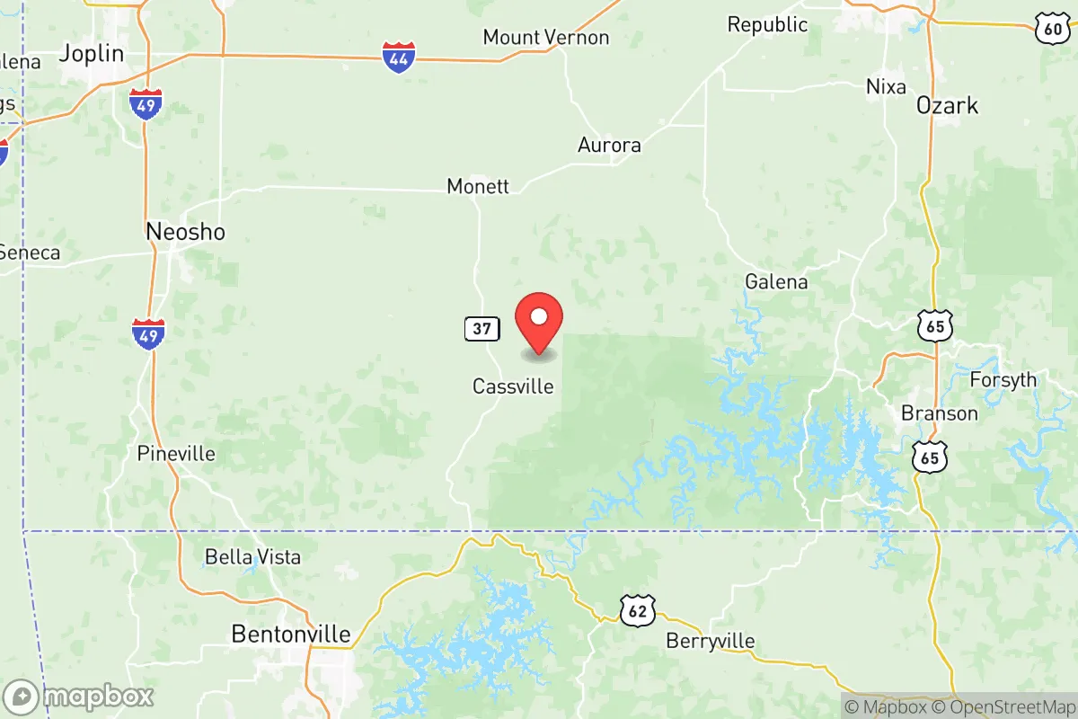
Barry County sits roughly 60 miles south of Springfield, Missouri, and 40 miles east of the Oklahoma border, placing it in a sweet spot of relative remoteness. The county seat, Cassville, anchors a region of rolling Ozark hills, hardwood forests, and clear spring-fed streams. The landscape itself is a defensive asset: dense tree cover and irregular terrain provide natural concealment and make large-scale movement through the area difficult without local knowledge. The county is bisected by U.S. Highway 37 and Missouri Route 76, offering practical evacuation routes north toward I-44 or south into Arkansas, but these are not major interstate arteries that would attract heavy traffic during a crisis. The Mark Twain National Forest extends into the county’s eastern edge, providing a public-land buffer and potential foraging and timber resources. Water is abundant: Table Rock Lake and Roaring River State Park are within a 20-minute drive of Cassville, and numerous smaller creeks and springs dot the countryside. For a relocator, the ability to draw from multiple surface water sources without relying on municipal systems is a significant resilience advantage.
Risks, exposures, and proximity to fallout-relevant landmarks
Barry County’s primary risk profile is low compared to coastal or urban areas, but it is not immune to man-made and natural threats. The most significant fallout-relevant landmark within a 100-mile radius is Fort Leonard Wood, a major U.S. Army training base located roughly 110 miles northeast. While not a primary nuclear target, the base’s role in chemical, biological, and radiological training means it could be a secondary target or a source of hazardous material dispersion in a conflict scenario. Closer to home, the Southwest Power Administration grid infrastructure and the Grand Gulf Energy Center (a natural gas plant in nearby Port Gibson, Mississippi) are less relevant, but the Arkansas Nuclear One plant near Russellville, Arkansas, sits about 120 miles south-southwest — outside the immediate blast zone but within a plausible fallout plume corridor depending on wind patterns. More practically, the Interstate 44 corridor, which runs through Springfield and Joplin, is a high-traffic logistics route that could become a chokepoint or target during a national emergency. Natural risks are modest: the area lies in Tornado Alley’s southern fringe, with severe weather season from March to June. The 2011 Joplin tornado, just 40 miles north, is a reminder that violent storms are a real threat. Flooding along the White River and its tributaries is periodic but manageable with proper siting. Overall, Barry County’s exposure to man-made risks is low, but relocators should plan for severe weather and maintain situational awareness of regional infrastructure.
Practical resilience for a relocator: food, water, energy, and defensibility
Barry County’s agricultural base is its strongest resilience asset. The county is a leading producer of poultry and livestock in Missouri, with Tyson Foods operating a major processing plant in Cassville that employs over 1,500 people. This means local food supply chains are robust, and small-scale farming is the norm rather than the exception. For a relocator, the ability to source meat, eggs, and produce directly from neighbors or farmers’ markets is immediate. The county’s University of Missouri Extension office in Cassville offers workshops on gardening, canning, and livestock management, which is a practical resource for newcomers building self-sufficiency skills. Water is generally accessible via private wells — most rural properties have them — and the Ozark aquifer is reliable and clean. For off-grid energy, the region’s average wind speeds are modest (around 10 mph), but solar potential is good, with roughly 210 sunny days per year. The local electric cooperative, Barry Electric Cooperative, is member-owned and has a history of rapid storm response, which is a plus for grid reliability. Defensibility is a mixed picture: the terrain offers natural cover, but the county’s dispersed settlement pattern means that a single-family homestead on a back road is inherently harder to secure than a clustered community. However, the strong local culture of mutual aid — rooted in the area’s rural and religious traditions — means that neighbors often watch out for each other. For a relocator, the key is to choose a property with good sightlines, multiple access points, and a defensible water source. The Cassville Police Department and Barry County Sheriff’s Office are professional but small; in a prolonged crisis, self-reliance and community cooperation will matter more than law enforcement response times.
The overall strategic picture for Barry County is one of moderate resilience with clear trade-offs. Its geographic isolation and agricultural strength make it a strong candidate for a relocation focused on self-sufficiency and disaster preparedness. The low population density (roughly 35,000 residents across 791 square miles) means less competition for resources during a crisis, and the distance from major military and industrial targets reduces the likelihood of direct fallout exposure. However, the county’s reliance on a single major employer (Tyson) and its position in a severe weather zone are vulnerabilities that a relocator must plan for. For the conservative-leaning reader who values community, land, and preparedness, Barry County offers a realistic foundation — not a bunker, but a place where a determined family can build a resilient life with reasonable effort and local knowledge. The key is to arrive with skills, supplies, and a willingness to integrate into a community that already lives close to the land.

* Values derived from national, state, county, city and local statistics and may differ in a specific area. Last updated: 2026-11-12T10:03:35.000Z
Narrative content on this page is AI-generated and may contain mistakes. Verify any details that matter before acting on them.
ReloMaps may earn a commission from affiliate links at no extra cost to you.

