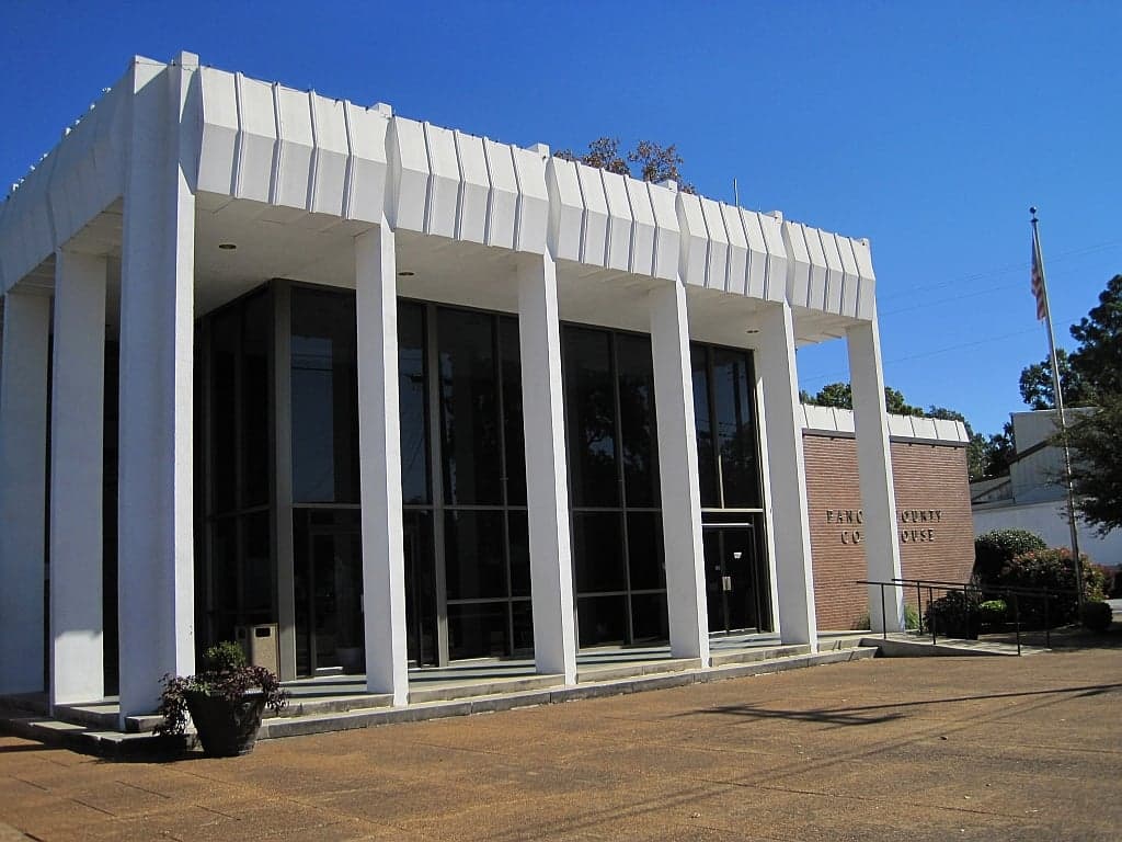
Photo: Wikipedia
Strategic Assessment of Panola County
Workable tactical position. Some exposure to population density or targets, but generally defensible in a crisis.
What does the Strategic Assessment tell us?
Our Strategic Assessment grades tactical survivability of an area. Major population centers, military targets, fallout zones, natural disasters, and border exposure all drive risk — lower exposure means a more defensible position in a crisis.
This is heavily inspired by Joel Skousen's Strategic Relocation book. Highly recommended you checkout the book ($)What does this tell us?
Our Strategic Assessment grades tactical survivability of an area. Major population centers, military targets, fallout zones, natural disasters, and border exposure all drive risk — lower exposure means a more defensible position in a crisis.
This is heavily inspired by Joel Skousen's Strategic Relocation book. Highly recommended you checkout the book ($)Strategic Pillars

Key Distances
Strategic Assessment Analysis
Panola County, Mississippi, offers a strategic resilience profile that is quietly strong: it sits far enough from major metropolitan blast zones and industrial corridors to avoid the worst of a cascading collapse, yet close enough to regional logistics hubs to remain economically viable. Anchored by the twin towns of Batesville and Sardis, the county combines the defensive advantages of the Mississippi Delta's edge with the practical resources of the North Mississippi hill country. For a relocator weighing disaster readiness against daily livability, Panola County presents a compelling middle-ground option—not a remote bunker, but a defensible, resource-rich community with genuine self-sufficiency potential.
Geographic position and natural defensive advantages
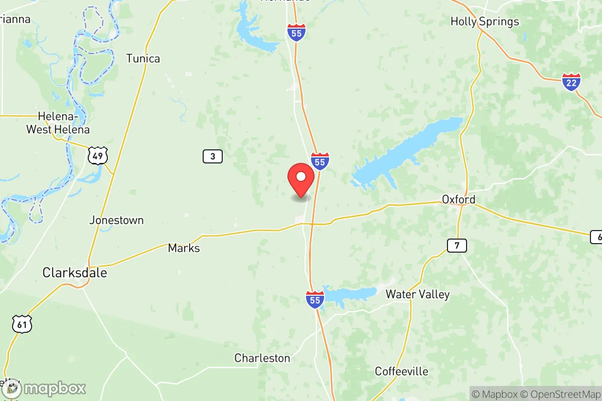
Panola County's location is its first and most important resilience asset. It sits roughly 50 miles south of Memphis, Tennessee, which places it outside the immediate fallout and secondary-effect radius of a major urban strike on that city, while still allowing access to Memphis International Airport and its FedEx hub for supply chain contingencies. The county is bisected by Interstate 55, giving residents a direct north-south evacuation or resupply route that remains functional even if rail lines are compromised. To the east, the Holly Springs National Forest provides a natural buffer and a source of timber, game, and water filtration—a practical wilderness asset that few counties in the Delta region can claim.
The terrain itself is a quiet advantage. Unlike the flat, flood-prone Delta counties to the west, Panola County features rolling hills, mixed hardwood forest, and the Coldwater River and Yocona River watersheds. This topography offers natural drainage, defensible high ground, and multiple microclimates that reduce the risk of a single weather event devastating the entire county. The Sardis Lake reservoir, created by the U.S. Army Corps of Engineers in the 1930s, is a 98,000-acre flood-control project that doubles as a reliable freshwater source and a fishery. For a family planning around water security, Sardis Lake is not a minor amenity—it is a strategic asset that most inland counties simply do not possess.
Risk exposure and proximity to fallout-relevant landmarks
No honest resilience assessment can ignore Panola County's real exposures. The most significant is the county's position relative to Memphis's industrial and logistics complex. While 50 miles of distance provides meaningful protection from blast effects and immediate fallout, prevailing winds from the northwest could carry radioactive or chemical particulates into the county in a worst-case scenario. The county's own industrial footprint is modest—Batesville is home to a few light manufacturing plants, including a major Ashley Furniture facility—but it is not a primary target. The more realistic risk is indirect: a disruption to the Memphis rail yards or the I-55 corridor would choke supply chains that Panola County depends on for fuel and food.
Flooding is the most probable natural hazard. The Coldwater River has a documented history of flash flooding, particularly in the southern part of the county near Courtland and Pope. The 2019 Easter flood caused significant damage to low-lying areas, and climate models suggest more intense rainfall events are likely. Tornado risk is moderate, consistent with the broader Mid-South region, but the county's hilly terrain reduces the length of tornado tracks compared to the flat Delta. Wildfire risk is low but not zero, especially in the forested eastern sections during late-summer droughts. The county's proximity to the New Madrid Seismic Zone—roughly 150 miles to the northwest—means a major earthquake there would cause moderate shaking but not the catastrophic liquefaction seen in the Missouri bootheel.
Practical resilience for a relocator: food, water, energy, and defensibility
For a relocator serious about self-sufficiency, Panola County's practical resilience is where it truly differentiates itself. The county is a genuine agricultural producer—soybeans, corn, and cotton dominate the western Delta side, while cattle and timber operations thrive in the eastern hills. This is not a food desert; it is a food origin point. The Batesville Farmers Market and the Sardis Main Street market provide direct access to local produce, and the county's network of small family farms means that a barter economy could function quickly in a prolonged disruption. For a family wanting to grow its own food, the soil quality in the eastern half of the county is well-drained and workable, with a growing season that runs from late March to early November.
Water security is above average. Sardis Lake is the obvious surface-water anchor, but the county's groundwater is also reliable—the Mississippi Embayment aquifer system provides consistent well yields at depths of 100 to 300 feet. Most rural properties in the county can support a private well, and the cost of drilling is modest compared to western states. Energy resilience is more mixed. The county is served by the Northcentral Electric Power Association, a cooperative that has invested in grid hardening, but it remains dependent on the regional grid. Solar potential is adequate—the county receives about 5.2 peak sun hours per day—and the rolling terrain allows for ground-mounted arrays with minimal shading. Natural gas is available in Batesville and Sardis, but rural properties will likely need propane for heating and cooking.
Defensibility is a function of the county's layout. Batesville, the county seat, is a classic small town with a compact downtown, a hospital (Panola Medical Center), and a sheriff's department that covers the county's 705 square miles. Sardis, the other main town, is smaller but strategically positioned near the lake and the I-55 interchange. The rural areas between these towns offer what resilience planners call "natural chokepoints"—narrow county roads, creek crossings, and forested ridges that would slow any unauthorized movement. The county's population density of roughly 34 people per square mile means that a family on a 10-acre parcel has meaningful buffer from neighbors while still being close enough for mutual aid. The local culture, rooted in hunting, fishing, and church communities, provides a social fabric that is itself a resilience asset—neighbors in Panola County tend to know each other and look out for each other in ways that suburban subdivisions do not replicate.
The overall strategic picture for Panola County is one of balanced, unglamorous resilience. It lacks the dramatic defensibility of a mountain redoubt or the complete isolation of a northern wilderness, but it offers something arguably more practical: a working agricultural economy, abundant fresh water, moderate climate risk, and a social structure that still functions on personal relationships. The county's weaknesses—proximity to Memphis, flood zones along the Coldwater, and dependence on the regional grid—are manageable with planning. For a single individual or family looking to relocate with a serious preparedness mindset, Panola County represents a rational choice: not the safest place in America, but one of the smartest places to be when things go wrong. The key is to buy on high ground, drill a well, and get to know your neighbors before you need them.

* Values derived from national, state, county, city and local statistics and may differ in a specific area. Last updated: 2026-08-19T12:42:23.000Z
Narrative content on this page is AI-generated and may contain mistakes. Verify any details that matter before acting on them.
ReloMaps may earn a commission from affiliate links at no extra cost to you.

