
Photo: Wikipedia
Strategic Assessment of Lincoln County
Strong survivability profile. Good buffer from population centers, with manageable environmental and tactical risks.
What does the Strategic Assessment tell us?
Our Strategic Assessment grades tactical survivability of an area. Major population centers, military targets, fallout zones, natural disasters, and border exposure all drive risk — lower exposure means a more defensible position in a crisis.
This is heavily inspired by Joel Skousen's Strategic Relocation book. Highly recommended you checkout the book ($)What does this tell us?
Our Strategic Assessment grades tactical survivability of an area. Major population centers, military targets, fallout zones, natural disasters, and border exposure all drive risk — lower exposure means a more defensible position in a crisis.
This is heavily inspired by Joel Skousen's Strategic Relocation book. Highly recommended you checkout the book ($)Strategic Pillars

Key Distances
Strategic Assessment Analysis
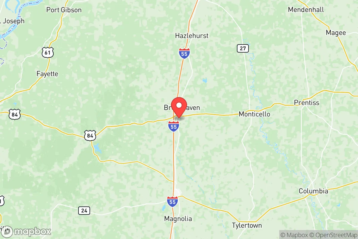
Lincoln County, Mississippi, offers a compelling strategic position for those prioritizing resilience and self-sufficiency, balancing rural seclusion with practical access to regional infrastructure. Located roughly 60 miles south of Jackson and 80 miles north of the Louisiana border, the county’s seat of Brookhaven serves as a modest hub for supplies and services without the congestion of a major metro. The area’s low population density—around 34,000 residents spread over 586 square miles—provides natural spacing that reduces vulnerability to cascading urban failures, while its position in the Pine Belt region offers a temperate climate and abundant natural resources that support long-term sustainability.
Geographic position and natural advantages for long-term stability
Lincoln County sits in a transitional zone between the Mississippi River alluvial plain to the west and the more elevated pine hills to the east, giving it a mix of fertile soil and well-drained terrain. The Homochitto National Forest covers a significant portion of the county’s southern half, providing over 190,000 acres of managed timberland that acts as both a natural buffer and a long-term resource for firewood, construction materials, and game. The county’s elevation ranges from 200 to 500 feet above sea level, which is notably higher than the Delta region to the west, reducing flood risk from the Mississippi River system. The Pearl River watershed runs through the eastern edge, with the Bogue Chitto River cutting across the southern part—both offer reliable surface water sources that are less prone to contamination than urban reservoirs. For a relocator, the area’s position along Interstate 55 provides a direct north-south corridor to Jackson and New Orleans, but the county itself remains far enough from these population centers to avoid their immediate fallout risks. The nearest major military installation is Camp Shelby, about 50 miles southeast near Hattiesburg, which is a training facility rather than a strategic target, lowering the area’s profile for nuclear or conventional strikes.
Risk exposure: natural hazards and proximity to fallout-relevant landmarks
While Lincoln County avoids many of the high-risk zones that plague other parts of the country, it is not without vulnerabilities. The primary natural threat is severe weather: the area sits in the heart of Dixie Alley, the region of the southeastern U.S. with the highest frequency of tornadoes outside the Great Plains. On average, Lincoln County experiences 15 to 20 tornado warnings per year, with the most active months being March through May. The 2020 Easter tornado outbreak produced an EF-4 that tracked through nearby Lawrence County, serving as a reminder that sturdy construction and a basement or safe room are essential for any residence here. Flooding is localized and generally limited to low-lying areas along the Bogue Chitto and Pearl River tributaries, but the county’s rolling hills mean most properties are on elevated ground. From a man-made risk perspective, Lincoln County’s primary exposure comes from its proximity to the Louisiana chemical corridor along the Mississippi River between Baton Rouge and New Orleans, roughly 100 miles southwest. The ExxonMobil Baton Rouge Refinery and the numerous chemical plants in Geismar and Plaquemine represent significant fallout targets, but prevailing winds from the south and southwest would carry any airborne contamination toward the Gulf rather than directly over Lincoln County. The Grand Gulf Nuclear Station, located about 70 miles northwest in Port Gibson, is a single-unit boiling water reactor that has operated since 1985; while its emergency planning zone extends only 10 miles, a major incident could affect downwind areas. More concerning for a resilience-minded relocator is the county’s position relative to the US Strategic Petroleum Reserve at Bryan Mound, about 150 miles southwest near Freeport, Texas—a likely target in any major conflict. However, the distance and intervening terrain make direct fallout deposition unlikely.
Practical resilience for relocators: food, water, energy, and defensibility
For someone serious about self-sufficiency, Lincoln County offers strong fundamentals. The area’s growing season stretches from mid-March to early November, allowing for two crop cycles of most vegetables. The county has a long agricultural tradition, with soybeans, corn, and cotton as major row crops, but smaller operations thrive: the Brookhaven Farmers Market operates from April through October, and local producers offer pasture-raised poultry, beef, and pork. Water availability is a standout advantage—the Cockfield and Sparta aquifers lie beneath the county, providing clean groundwater at depths of 200 to 500 feet. Many rural properties already have private wells, and drilling a new well typically costs between $3,000 and $6,000, a fraction of what it would cost in more arid regions. Surface water from the Bogue Chitto and its tributaries is generally clean but should be filtered and boiled before consumption due to agricultural runoff. Energy resilience is mixed: Entergy Mississippi provides grid power, but outages are common during thunderstorms and ice storms, with some rural areas experiencing 5 to 10 outages per year lasting 2 to 6 hours. Solar potential is moderate—the area receives about 5.2 peak sun hours per day, enough for a grid-tied system with battery backup to cover most household needs. Wood heating is practical given the abundant timber, and many older homes still have working fireplaces or wood stoves. Defensibility is a strong point: the county’s low population density and network of gravel roads and logging trails make it easy to establish a perimeter-aware property. The Homochitto National Forest provides a natural buffer to the south, while the Pearl River to the east creates a geographic barrier. The county seat of Brookhaven has a police force of about 30 officers, but response times in rural areas can exceed 20 minutes, making personal security measures—good fencing, motion lights, and a reliable dog—more important than in suburban settings.
The overall strategic picture for Lincoln County is one of moderate risk with strong mitigation potential. It avoids the high-concentration targets of the Gulf Coast and Mississippi River industrial corridor while remaining close enough to access supplies and medical care in Jackson or Hattiesburg. The area’s natural resources—abundant water, timber, and arable land—provide a solid foundation for long-term self-sufficiency, and its climate, while prone to severe weather, is manageable with proper preparation. For a relocator who values independence and is willing to invest in a well, solar panels, and a storm shelter, Lincoln County represents a defensible, resource-rich position in the Deep South that balances isolation with practical connectivity.

* Values derived from national, state, county, city and local statistics and may differ in a specific area. Last updated: 2026-07-15T10:55:48.000Z
Narrative content on this page is AI-generated and may contain mistakes. Verify any details that matter before acting on them.
ReloMaps may earn a commission from affiliate links at no extra cost to you.

