Photo: Wikipedia
Strategic Assessment of Greene County
Strong survivability profile. Good buffer from population centers, with manageable environmental and tactical risks.
What does the Strategic Assessment tell us?
Our Strategic Assessment grades tactical survivability of an area. Major population centers, military targets, fallout zones, natural disasters, and border exposure all drive risk — lower exposure means a more defensible position in a crisis.
This is heavily inspired by Joel Skousen's Strategic Relocation book. Highly recommended you checkout the book ($)What does this tell us?
Our Strategic Assessment grades tactical survivability of an area. Major population centers, military targets, fallout zones, natural disasters, and border exposure all drive risk — lower exposure means a more defensible position in a crisis.
This is heavily inspired by Joel Skousen's Strategic Relocation book. Highly recommended you checkout the book ($)Strategic Pillars

Key Distances
Strategic Assessment Analysis
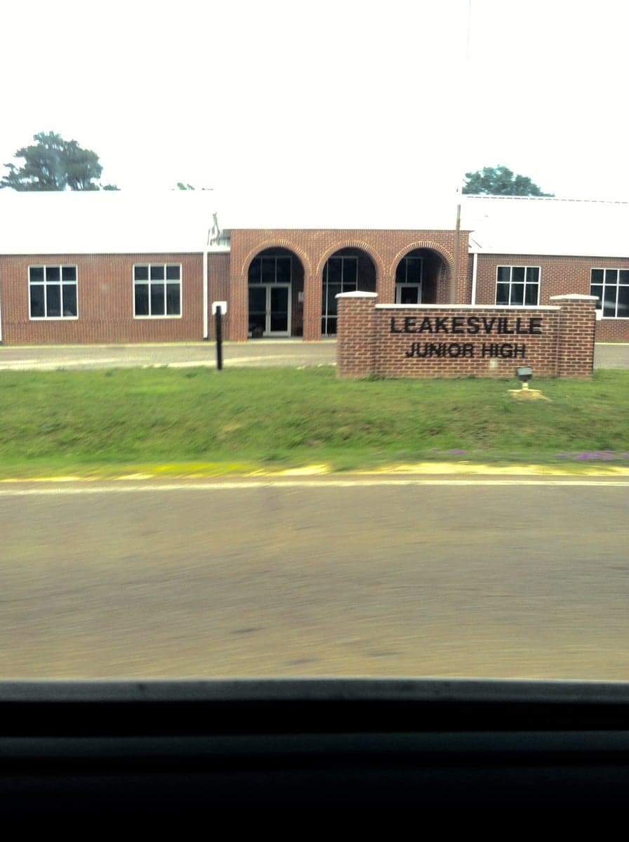
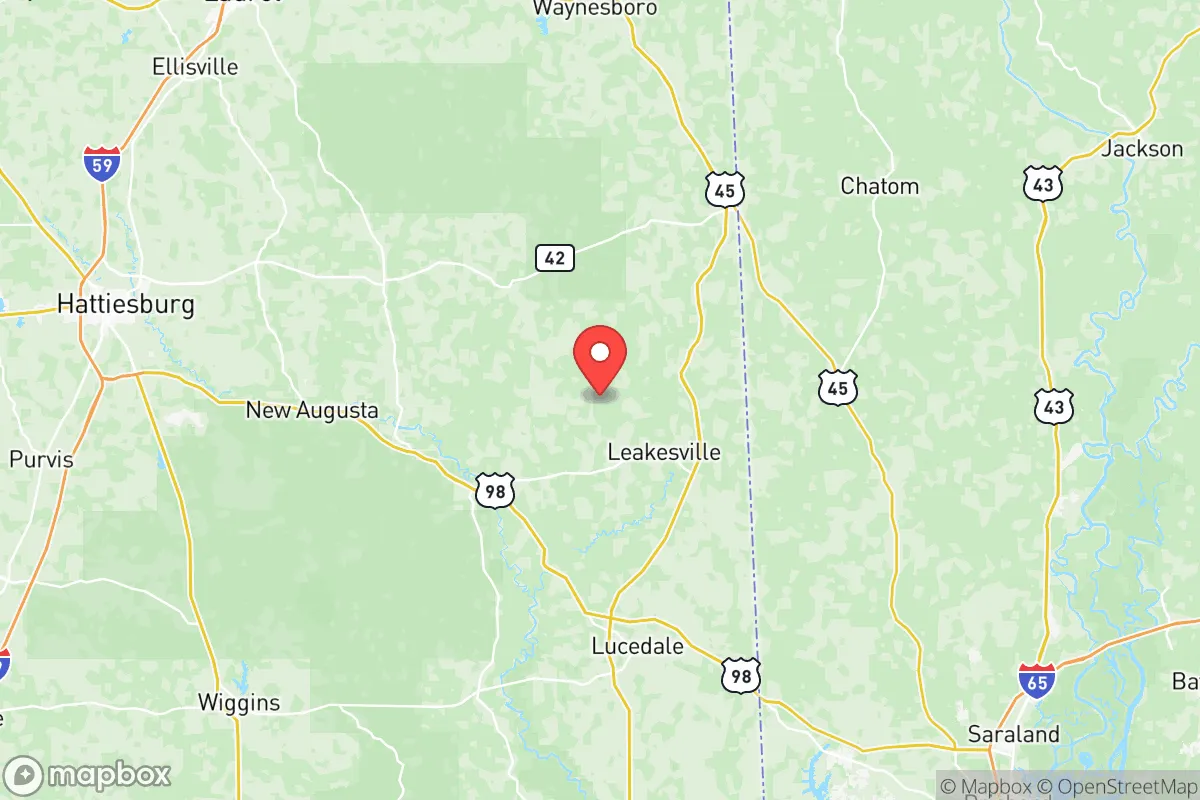
Greene County, Mississippi offers a compelling strategic profile for relocators prioritizing resilience and self-sufficiency, balancing deep rural isolation with surprising logistical advantages. Located in the southeastern corner of the state, the county is anchored by the small town of Leakesville (the county seat) and the unincorporated communities of McLain and State Line. Its position places it roughly 60 miles from the Gulf Coast, 90 miles from Mobile, Alabama, and about 100 miles from Hattiesburg, providing a buffer from major urban centers while still allowing access to regional resources. The county's low population density—under 14,000 residents spread across 490 square miles—and its heavily forested, river-cut terrain create a natural template for a low-profile, self-reliant lifestyle.
Geographic position and natural advantages for long-term stability
Greene County sits within the Pine Belt region of Mississippi, characterized by rolling hills, extensive pine and hardwood forests, and a network of rivers and creeks including the Chickasawhay River and the Leaf River. This topography offers several resilience benefits: the forest cover provides natural camouflage and a buffer against noise and light pollution, while the rivers and abundant groundwater supply a reliable source of fresh water. The county's location away from major fault lines and its elevation—generally 100 to 300 feet above sea level—reduce the risk of catastrophic earthquakes or tsunami exposure, a meaningful advantage compared to coastal or seismic zones. The climate is humid subtropical, with hot summers and mild winters, supporting year-round gardening and livestock management. The growing season stretches from March to November, allowing for substantial food production. The county's timber industry, historically a backbone of the local economy, also means that fuel for heating and construction is locally abundant. For a relocator thinking in decades, Greene County's natural resource base—timber, water, and arable land—is a tangible asset that many more developed regions lack.
Risks, exposures, and proximity to fallout-relevant landmarks
No strategic assessment is complete without a clear-eyed look at vulnerabilities. Greene County's primary natural risk is hurricane-related flooding and wind damage, given its proximity to the Gulf of Mexico. While the county is far enough inland to avoid storm surge, heavy rainfall from tropical systems can cause the Chickasawhay and Leaf Rivers to flood low-lying areas, particularly around Leakesville and McLain. The 2005 Hurricane Katrina event, for example, downed trees and caused power outages across the county for days. Tornado risk is moderate but real, as the region sits within Dixie Alley; the April 2011 super outbreak produced several tornadoes in the area. On the man-made risk side, the county's most significant exposure is its proximity to the Kemper County Integrated Gasification Combined Cycle (IGCC) plant in DeKalb, roughly 40 miles northwest—a coal gasification facility that has been a source of controversy and potential industrial hazard. More broadly, Greene County lies within 150 miles of the Pascagoula refinery corridor (Chevron, Mississippi Phosphates) and the Port of Pascagoula, a major military and commercial shipping hub. While not a direct target, the county could experience fallout from a major industrial accident or infrastructure disruption at these sites. The Naval Air Station Meridian is about 80 miles north, and Camp Shelby (a major Army training base) is roughly 60 miles west near Hattiesburg. These military installations are not primary nuclear targets in a major conflict, but they represent secondary risk zones. On balance, Greene County's risk profile is moderate—lower than coastal or major-metro areas, but not negligible. The absence of any major dams, nuclear plants, or chemical weapons storage sites within the county itself is a meaningful positive.
Practical resilience for a relocator: food, water, energy, and defensibility
For someone serious about self-sufficiency, Greene County offers a strong practical foundation. Water access is excellent: the county sits atop the Citronelle Aquifer, a prolific groundwater source that provides clean, potable water at shallow depths (typically 50-150 feet). Many rural properties already have private wells, and drilling a new well is relatively inexpensive compared to other regions. Surface water from the Chickasawhay and Leaf Rivers is also available, though treatment is necessary. Food production is viable year-round: the long growing season supports vegetables, fruits, and grains, and the county's rural character means livestock (cattle, poultry, goats) are common. The local agricultural extension service in Leakesville offers soil testing and planting guides. For energy resilience, the county's dense forests provide abundant firewood, and solar potential is good (roughly 5.0-5.5 peak sun hours per day). Off-grid solar installations are feasible, and the county's building codes are minimal, allowing for flexible construction. Defensibility is a mixed picture: the county's low population density and heavily wooded terrain make it easy to maintain a low profile and difficult for outsiders to navigate without local knowledge. However, the road network is sparse—two-lane highways (US-98, MS-57, MS-63) are the primary arteries—and choke points exist at bridges over the Chickasawhay and Leaf Rivers. A determined group could control access to certain areas, but the county's size and terrain also mean that no single location is easily defensible without significant preparation. The local culture is generally self-reliant and firearm-friendly, which aligns with a preparedness mindset. The nearest major medical center is in Hattiesburg (Forrest General Hospital), about an hour's drive, which is a consideration for anyone with chronic health needs.
The overall strategic picture for Greene County is one of balanced opportunity and manageable risk. It is not a fortress, nor is it a wasteland. For a relocator who values low population density, abundant natural resources, and a buffer from major urban and industrial targets, Greene County ranks favorably. Its weaknesses—hurricane exposure, moderate tornado risk, and distance from advanced medical care—are predictable and can be mitigated with planning. The county's lack of major infrastructure targets and its position away from primary fallout corridors (Interstate 10, the Gulf Coast refineries, and major military bases) make it a quieter option than many areas in the Southeast. For a family or individual willing to invest in well-drilling, solar power, and food storage, Greene County provides a solid base for long-term resilience without the extreme isolation of the Mountain West or the high costs of the Northeast. It is a place where preparedness is practical, not theoretical, and where the land itself offers a foundation for self-reliance.

* Values derived from national, state, county, city and local statistics and may differ in a specific area. Last updated: 2026-11-04T16:00:06.000Z
Narrative content on this page is AI-generated and may contain mistakes. Verify any details that matter before acting on them.
ReloMaps may earn a commission from affiliate links at no extra cost to you.

