
Photo: Wikipedia
Strategic Assessment of George County
Workable tactical position. Some exposure to population density or targets, but generally defensible in a crisis.
What does the Strategic Assessment tell us?
Our Strategic Assessment grades tactical survivability of an area. Major population centers, military targets, fallout zones, natural disasters, and border exposure all drive risk — lower exposure means a more defensible position in a crisis.
This is heavily inspired by Joel Skousen's Strategic Relocation book. Highly recommended you checkout the book ($)What does this tell us?
Our Strategic Assessment grades tactical survivability of an area. Major population centers, military targets, fallout zones, natural disasters, and border exposure all drive risk — lower exposure means a more defensible position in a crisis.
This is heavily inspired by Joel Skousen's Strategic Relocation book. Highly recommended you checkout the book ($)Strategic Pillars

Key Distances
Strategic Assessment Analysis
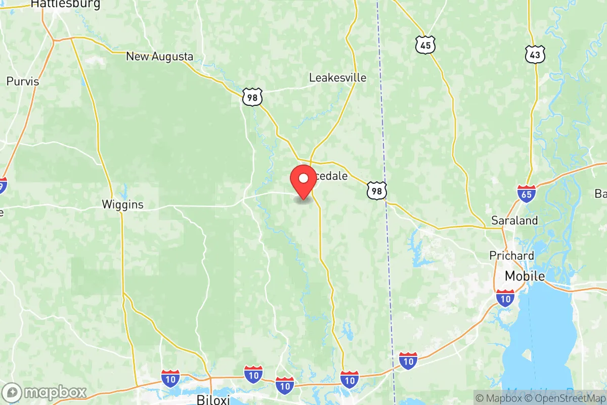
George County, Mississippi, offers a compelling strategic position for relocation-minded individuals and families who prioritize resilience and self-sufficiency without complete isolation. Located along the Gulf Coast’s inland edge, the county combines rural buffer with practical access to infrastructure, making it a viable base for those assessing long-term preparedness. Its location between the major population centers of Mobile, Alabama, and Biloxi-Gulfport, Mississippi, provides a balance of remoteness and logistical reach, though proximity to these areas introduces specific risk considerations that a serious relocator must weigh.
Geographic position and natural advantages for long-term stability
George County sits in the Pine Belt region of southeastern Mississippi, roughly 40 miles north of the Gulf of Mexico. The county seat, Lucedale, anchors a landscape of rolling pine forests, creeks, and low hills that offer natural cover and defensible terrain compared to the flat, exposed coastal plain. The area’s elevation—averaging 200 to 300 feet above sea level—provides a meaningful buffer against storm surge, a critical advantage over communities directly on the coast. The Pascagoula River, one of the last free-flowing river systems in the lower 48, runs through the county’s eastern edge, offering a reliable freshwater source and rich wildlife habitat. This river system, combined with the DeSoto National Forest’s southern reaches that extend into the county, creates a natural corridor for game, timber, and water filtration. For a relocator, these features mean the land itself supports subsistence activities: hunting, foraging, and small-scale agriculture are viable here. The county’s clay-loam soils, while not prime farmland, are adequate for gardens and orchards, and the long growing season (roughly 230 frost-free days) allows for year-round food production with proper planning.
Risk exposure: natural hazards and proximity to man-made vulnerabilities
No strategic assessment is complete without acknowledging the region’s exposure to hurricanes. George County lies within the hurricane strike zone, and while its inland position reduces wind and surge damage compared to coastal Jackson County, it is not immune. Hurricane Katrina (2005) brought sustained tropical-storm-force winds and significant tree damage to the area, with power outages lasting weeks in some rural pockets. The county’s dense pine forests are also a wildfire risk during dry spells, though this is manageable with defensible space and firebreaks. More critically for the preparedness-minded relocator, George County sits within a broader industrial and military landscape that introduces man-made risks. Approximately 50 miles south lies the Pascagoula shipyard and the Chevron Pascagoula Refinery, one of the largest refineries on the Gulf Coast. A major incident at either site—whether accidental or deliberate—could produce a toxic plume or disrupt regional fuel supplies. Additionally, the county is roughly 60 miles from Naval Air Station Meridian and 70 miles from Keesler Air Force Base in Biloxi, both potential targets in a conflict scenario. While George County itself hosts no major military or industrial installations, its position within the fallout shadow of these assets is a factor for those assessing worst-case scenarios. The county’s rural character, however, means that a relocator can choose a homestead with significant standoff from major highways and rail lines that serve these facilities.
Practical resilience for a relocator: food, water, energy, and defensibility
For a family or individual serious about self-reliance, George County offers a strong baseline. Water availability is excellent: the county sits atop the Coastal Lowlands aquifer system, and private wells are common and affordable to drill, typically reaching good water at 100 to 300 feet. Surface water from the Pascagoula River and its tributaries (like the Leaf and Chickasawhay rivers) provides backup, though treatment is necessary. The county’s rural zoning and lack of restrictive homeowners’ associations in unincorporated areas mean that rainwater catchment, solar panel installation, and livestock keeping are generally unregulated. Energy resilience is achievable: the region receives an average of 215 sunny days per year, sufficient for a grid-tied solar array with battery backup, though tree cover may require clearing for optimal panel placement. Propane delivery is common in rural areas, and wood heating is practical given the abundant timber. Defensibility is a mixed picture. The county’s low population density (roughly 25 people per square mile) and large tracts of private forest land allow for a homestead with good standoff from neighbors and roads. However, the terrain is not mountainous; it is gently rolling, meaning that a determined group could approach from multiple directions. The county’s road network is sparse, with two primary north-south arteries (US 98 and MS 63) and limited east-west connectors, which could become chokepoints in an evacuation or a security scenario. For a relocator, the key is to choose a property with a single access point, natural barriers (creeks, ridges), and visibility of approach routes. The local culture is generally self-reliant and firearm-friendly, with a strong tradition of hunting and outdoor skills, which means a newcomer who integrates respectfully will find neighbors who share preparedness values.
The overall strategic picture for George County is one of moderate resilience with clear trade-offs. Its inland Gulf Coast position provides a buffer against the most acute coastal risks while retaining access to regional medical centers (Singing River Health System in Pascagoula, about 40 minutes away) and supply chains. The county’s natural resources—water, timber, game, and arable land—support a long-term subsistence lifestyle, and its regulatory environment is favorable for off-grid and self-sufficient setups. The primary vulnerabilities are hurricane disruption and proximity to industrial and military targets along the coast, though these are risks that can be mitigated with proper site selection and preparation. For the relocator who values a quiet, rural life with a serious preparedness ethic, George County represents a solid, unglamorous choice—neither a fortress nor a vulnerability, but a place where a well-prepared family can build durable independence. The key is to act on the advantages: drill a well, plant a garden, get to know the neighbors, and keep a weather eye on the Gulf during hurricane season.

* Values derived from national, state, county, city and local statistics and may differ in a specific area. Last updated: 2026-11-07T05:06:09.000Z
Narrative content on this page is AI-generated and may contain mistakes. Verify any details that matter before acting on them.
ReloMaps may earn a commission from affiliate links at no extra cost to you.

