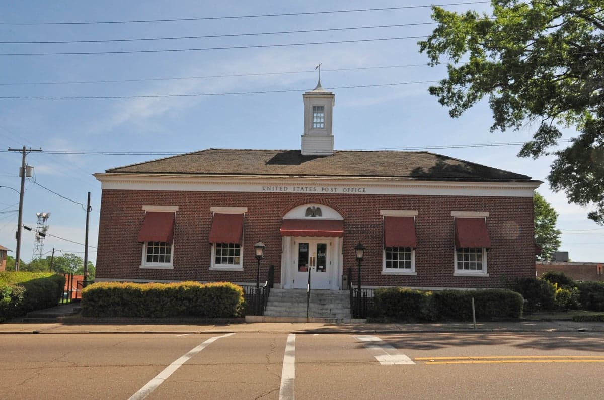
Photo: Wikipedia
Strategic Assessment of Copiah County
Strong survivability profile. Good buffer from population centers, with manageable environmental and tactical risks.
What does the Strategic Assessment tell us?
Our Strategic Assessment grades tactical survivability of an area. Major population centers, military targets, fallout zones, natural disasters, and border exposure all drive risk — lower exposure means a more defensible position in a crisis.
This is heavily inspired by Joel Skousen's Strategic Relocation book. Highly recommended you checkout the book ($)What does this tell us?
Our Strategic Assessment grades tactical survivability of an area. Major population centers, military targets, fallout zones, natural disasters, and border exposure all drive risk — lower exposure means a more defensible position in a crisis.
This is heavily inspired by Joel Skousen's Strategic Relocation book. Highly recommended you checkout the book ($)Strategic Pillars

Key Distances
Strategic Assessment Analysis
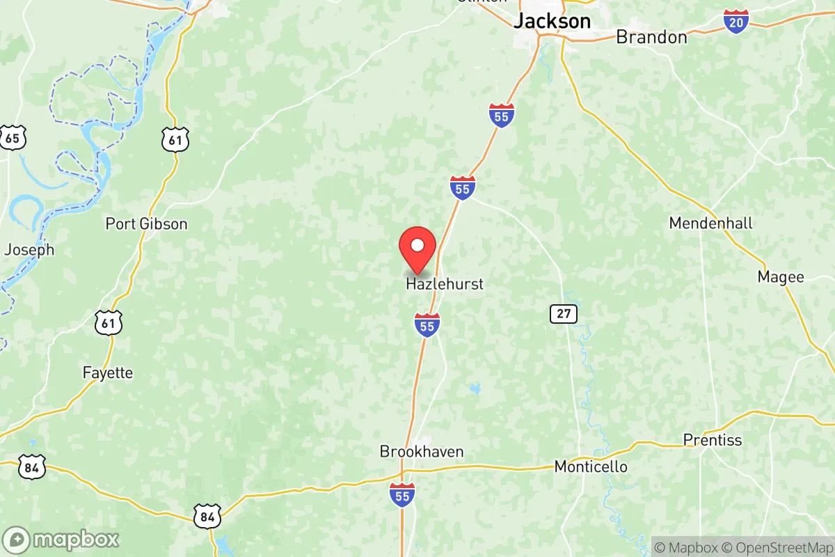
Copiah County, Mississippi, offers a strategic blend of rural self-sufficiency and practical access to regional infrastructure, making it a credible option for relocation-minded individuals and families weighing disaster preparedness. Anchored by the county seat of Hazlehurst and the smaller town of Wesson, the area sits roughly 30 miles south of Jackson, the state capital, yet remains firmly outside the urban sprawl and its associated vulnerabilities. For a reader prioritizing resilience, Copiah County’s position along the Interstate 55 corridor provides a logistical backbone without the concentration of targets that plague larger metropolitan zones.
Geographic position and natural advantages for long-term stability
Copiah County’s geography is defined by the rolling hills of central Mississippi’s pine belt, with elevations ranging from roughly 200 to 500 feet above sea level. This terrain offers natural drainage advantages over the flat, flood-prone Delta region to the west, and the county’s proximity to the Homochitto National Forest to the south provides a substantial buffer of undeveloped land. The Pearl River forms the county’s eastern boundary, offering a water source, though relocators should note that the river’s floodplain requires careful site selection. The county’s location along the Interstate 55 corridor places it within a two-hour drive of both the Gulf Coast ports and the Louisiana state line, while Jackson’s international airport sits just 40 minutes north — a practical evacuation or supply-chain asset in non-crisis periods.
The climate is humid subtropical, with hot summers and mild winters, which supports year-round gardening and livestock operations. The growing season averages 240 days, one of the longer windows in the Southeast, allowing for substantial food production on modest acreage. Timber is the county’s dominant natural resource, with commercial pine plantations covering a significant portion of the land base, providing both a renewable income stream and a source of firewood for heating. The county’s rural character is reinforced by its low population density — roughly 28,000 residents spread across 780 square miles — which translates into less competition for resources during a disruption scenario.
Risk exposure and proximity to fallout-relevant landmarks
Every relocation decision involves a risk calculus, and Copiah County’s primary exposure is not natural disaster but proximity to man-made infrastructure. The county sits approximately 30 miles south of Jackson, which hosts the University of Mississippi Medical Center, the state’s largest hospital complex, and the Mississippi National Guard’s Camp Shelby is located roughly 90 miles to the southeast near Hattiesburg. More significantly for a preparedness-minded reader, the Entergy Grand Gulf Nuclear Station is located approximately 45 miles southwest in Claiborne County, along the Mississippi River. While the plant’s safety record is solid, its presence defines the region’s primary industrial-risk profile; a worst-case event would place Copiah County within the plume-modeling zone, though prevailing winds typically carry releases toward the northeast.
Beyond nuclear infrastructure, the county’s I-55 corridor is a double-edged sword. The highway is a critical north-south freight artery connecting New Orleans to Memphis, which means it would be a primary movement route during any regional evacuation — potentially a bottleneck rather than an asset in a fast-moving crisis. The nearby Chevron Pascagoula Refinery, one of the largest on the Gulf Coast, sits roughly 150 miles to the southeast, and while it is outside any realistic blast radius, its disruption would affect regional fuel supplies. Tornado risk is moderate and consistent with central Mississippi’s position in Dixie Alley; the county has experienced several EF-2 and EF-3 events in the past two decades, making a reinforced safe room a practical investment rather than an optional upgrade.
Practical resilience for a relocator: food, water, energy, and defensibility
Copiah County’s practical resilience profile is strongest in food security and weakest in energy independence. The county’s agricultural base includes row crops, cattle operations, and a growing number of small-scale poultry farms, with the Copiah County Farmers Market in Hazlehurst providing a local outlet for produce. For a relocator, the ability to source food locally is substantial — the county has multiple working farms within a 15-minute drive of any rural property, and the Mississippi State University Extension Service office in Hazlehurst offers free soil testing and agricultural guidance. Water access is generally favorable; the county sits atop the Sparta Aquifer, one of the Southeast’s most productive groundwater sources, and most rural properties can achieve a reliable well at depths of 100 to 300 feet.
Energy resilience is the county’s most significant gap. The electrical grid is served by Entergy Mississippi, and rural outages during thunderstorms are common, lasting anywhere from a few hours to several days. Solar potential is moderate — central Mississippi receives roughly 4.5 peak sun hours per day — but the region’s frequent cloud cover during winter storms reduces winter solar output. A practical relocator should budget for a propane standby generator or a battery-backed solar array as a primary investment. The county’s defensibility profile is favorable for a rural setting: the rolling terrain provides natural sightlines, and the low road density means that a property with a single access point can be effectively monitored. The town of Crystal Springs, just north of Hazlehurst, is the county’s second-largest community and offers a compact, walkable layout that would be easier to secure than a sprawling suburban development.
For families, the county’s school system is a practical consideration. Copiah County School District operates schools in Hazlehurst and Wesson, with Wesson Attendance Center consistently ranking as the district’s strongest performer. The presence of Copiah-Lincoln Community College’s Wesson campus provides a local post-secondary option and a potential source of skilled labor for a home-based business. Healthcare is the county’s weakest infrastructure link — the only hospital, Merit Health Copiah in Hazlehurst, is a small critical-access facility, and serious emergencies require a 30-minute transport to Jackson. A relocator with chronic health conditions should factor this into their planning.
The overall strategic picture for Copiah County is one of moderate-to-strong resilience with clearly defined trade-offs. The county offers genuine food security, reliable groundwater, low population density, and a defensible rural terrain — all core assets for a preparedness-focused relocation. Its weaknesses are equally clear: proximity to a nuclear facility, dependence on a single interstate corridor, and a healthcare system that is adequate for routine needs but insufficient for major emergencies. For a single individual or family willing to invest in backup power and a reinforced safe room, Copiah County represents a balanced choice — not the most remote option in the Southeast, but one that avoids the extreme isolation that complicates daily life while still providing meaningful distance from the region’s primary risk concentrations. The county’s real strategic value lies in its position as a “second-ring” location: close enough to Jackson’s resources to be practical, far enough to be survivable.

* Values derived from national, state, county, city and local statistics and may differ in a specific area. Last updated: 2026-10-30T16:42:09.000Z
Narrative content on this page is AI-generated and may contain mistakes. Verify any details that matter before acting on them.
ReloMaps may earn a commission from affiliate links at no extra cost to you.

