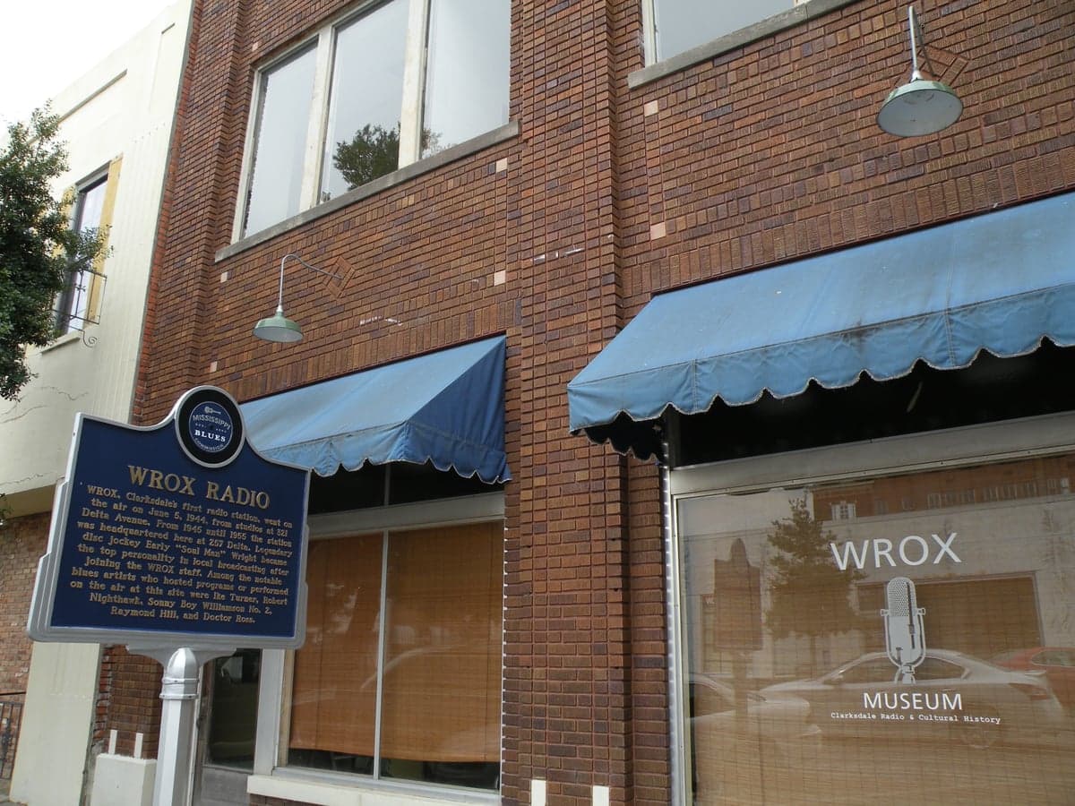
Photo: Wikipedia
Strategic Assessment of Coahoma County
Workable tactical position. Some exposure to population density or targets, but generally defensible in a crisis.
What does the Strategic Assessment tell us?
Our Strategic Assessment grades tactical survivability of an area. Major population centers, military targets, fallout zones, natural disasters, and border exposure all drive risk — lower exposure means a more defensible position in a crisis.
This is heavily inspired by Joel Skousen's Strategic Relocation book. Highly recommended you checkout the book ($)What does this tell us?
Our Strategic Assessment grades tactical survivability of an area. Major population centers, military targets, fallout zones, natural disasters, and border exposure all drive risk — lower exposure means a more defensible position in a crisis.
This is heavily inspired by Joel Skousen's Strategic Relocation book. Highly recommended you checkout the book ($)Strategic Pillars

Key Distances
Strategic Assessment Analysis
Coahoma County, Mississippi, offers a distinctive strategic profile for the relocation-minded reader focused on resilience and self-sufficiency. Its position in the Mississippi Delta, anchored by the county seat of Clarksdale, provides a blend of geographic isolation from major metropolitan targets and access to critical natural resources, though it carries its own set of exposures. For those weighing a move with an eye toward disaster preparedness, the county presents a mixed picture: strong agricultural self-sufficiency and low population density are balanced against flood risks and proximity to certain industrial and transportation corridors.
Geographic position and natural advantages for self-sufficiency
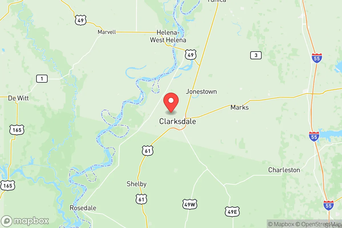
Coahoma County sits in the northwest corner of Mississippi, bordered by the Mississippi River to the west and the Sunflower River to the east. This location places it roughly 70 miles southwest of Memphis, Tennessee, and about 140 miles north of Jackson, Mississippi—far enough from these urban centers to reduce fallout risk from a major event targeting a large city, yet close enough for supply runs or medical evacuation in normal times. The county's defining natural advantage is the alluvial soil of the Delta, among the most fertile farmland in the United States. This makes local food production a realistic proposition for residents with land access. The Mississippi River itself provides a massive, reliable freshwater source, though treatment is required. The area's flat, open terrain offers good solar exposure for off-grid energy systems, and the lack of dense forest reduces wildfire risk compared to other parts of the state. The county's low population density—roughly 20,000 residents spread over 583 square miles—means fewer neighbors competing for resources in a crisis, a key factor in long-term defensibility.
Risks, exposures, and proximity to fallout-relevant landmarks
While Coahoma County avoids the direct blast radius of a major city, it is not without strategic vulnerabilities. The most significant man-made risk comes from the Mississippi River itself, which serves as a major industrial shipping corridor. Upstream, the Tennessee Valley Authority's Allen Fossil Plant in Memphis and the Arkansas Nuclear One plant near Russellville, Arkansas (roughly 150 miles northwest) are within a plausible fallout plume zone depending on wind patterns. Closer to home, the county is bisected by U.S. Highway 61 and U.S. Highway 49, both major north-south evacuation and supply routes that could become chokepoints or targets during a crisis. The Clarksdale Municipal Airport is a small general aviation field, not a primary target, but its presence could attract secondary attention. Natural risks are more immediate: the county sits in a floodplain, and the Mississippi River levee system, while maintained, has a history of stress during high-water events (e.g., the 2011 and 2019 floods). Tornado risk is moderate, with the Delta lying in the traditional "Dixie Alley" corridor. For the resilience-minded relocator, the primary man-made exposure is the county's position downwind of Memphis and along a major river artery that could see secondary effects from a disruption at the Port of Memphis or the Valero Memphis Refinery (about 80 miles north).
Practical resilience for a relocator: food, water, energy, and defensibility
For someone serious about self-sufficiency, Coahoma County's practical resilience profile is a study in contrasts. Food security is a clear strength: the Delta's agricultural output includes soybeans, corn, cotton, and rice, and local farmers' markets and small-scale producers are accessible in and around Clarksdale. Hunting and fishing are viable, with deer, waterfowl, and catfish abundant in the rivers and oxbow lakes. Water access is excellent—the Mississippi River provides a virtually unlimited surface water source, and the underlying Mississippi River Valley Alluvial Aquifer is one of the most productive groundwater sources in the country. However, both require treatment (filtration and boiling or chemical purification) for safe drinking. Energy resilience is moderate: the county is served by Entergy Mississippi, with the grid vulnerable to storm outages. Solar is a strong option given the flat terrain and open sky, but backup battery storage is advisable. Natural gas is available in Clarksdale but not universally in rural areas; propane is a common alternative for heating and cooking. Defensibility is mixed. The flat, open landscape offers long sightlines for perimeter security but little natural cover. Rural properties with acreage provide standoff distance, but the lack of topographic barriers means a determined group could approach from any direction. The county's small population and limited law enforcement presence (the Coahoma County Sheriff's Department and Clarksdale Police Department) mean that in a prolonged crisis, community-based mutual aid networks would be essential. The presence of North Sunflower Medical Center in Ruleville (about 20 miles southeast) and Northwest Mississippi Regional Medical Center in Clarksdale provides basic emergency care, but trauma or specialty care would require a drive to Memphis or Jackson.
The overall strategic picture for Coahoma County is one of qualified opportunity for the resilience-focused relocator. Its agricultural base, abundant water, and low population density offer genuine advantages for long-term self-sufficiency, particularly for those willing to invest in off-grid energy and water treatment systems. The primary trade-offs are the flood risk, the moderate tornado exposure, and the county's position downwind of Memphis and along a major river corridor that could see secondary effects from a regional disruption. For a family or individual who values space, food sovereignty, and a slower pace, and who is willing to accept the Delta's climate and infrastructure limitations, Coahoma County represents a viable, if not top-tier, relocation option. The key is to choose a property above the floodplain, establish local supply chains, and build relationships with neighbors before a crisis hits—because in the Delta, community is the real resilience asset.

* Values derived from national, state, county, city and local statistics and may differ in a specific area. Last updated: 2026-08-19T22:21:12.000Z
Narrative content on this page is AI-generated and may contain mistakes. Verify any details that matter before acting on them.
ReloMaps may earn a commission from affiliate links at no extra cost to you.

