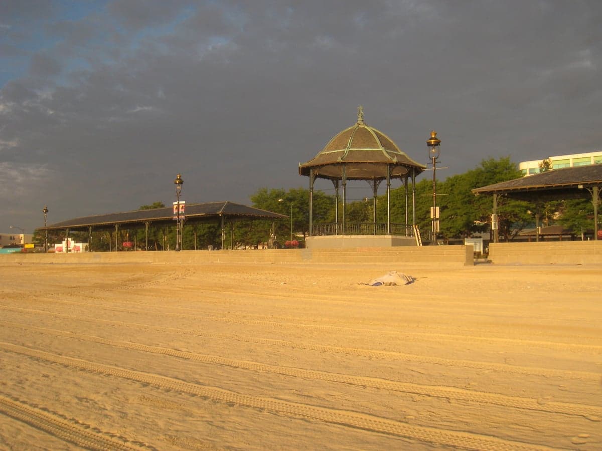
Photo: Wikipedia
Strategic Assessment of Suffolk County
High tactical risk. This location is likely close to major population centers, strategic targets, or sits in a high-disaster corridor. A retreat property and careful exit planning is required.
What does the Strategic Assessment tell us?
Our Strategic Assessment grades tactical survivability of an area. Major population centers, military targets, fallout zones, natural disasters, and border exposure all drive risk — lower exposure means a more defensible position in a crisis.
This is heavily inspired by Joel Skousen's Strategic Relocation book. Highly recommended you checkout the book ($)What does this tell us?
Our Strategic Assessment grades tactical survivability of an area. Major population centers, military targets, fallout zones, natural disasters, and border exposure all drive risk — lower exposure means a more defensible position in a crisis.
This is heavily inspired by Joel Skousen's Strategic Relocation book. Highly recommended you checkout the book ($)Strategic Pillars

Key Distances
Strategic Assessment Analysis
Suffolk County, Massachusetts, presents a complex strategic picture for the relocation-minded individual or family prioritizing resilience and preparedness. While its dense urban core and proximity to major government and economic hubs offer undeniable advantages in terms of resources and infrastructure, these same factors introduce significant vulnerabilities that a conservative-leaning, self-sufficiency-focused reader must weigh carefully. The county’s resilience is a double-edged sword: its concentration of wealth, medical centers, and logistical networks provides a buffer against some disruptions, but its high population density and status as a prime target for both natural and man-made events create exposures that are hard to mitigate.
Geographic position and natural advantages for long-term stability
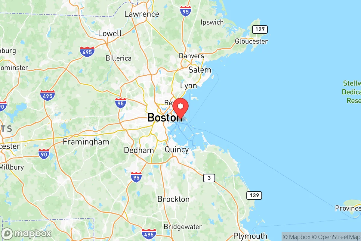
Suffolk County is the smallest county in Massachusetts by land area, yet it packs the state’s most critical assets. It encompasses the city of Boston, along with the municipalities of Chelsea, Revere, and Winthrop. Its position on Boston Harbor, at the mouth of the Charles and Mystic Rivers, provides direct access to the Atlantic Ocean, a major advantage for trade and potential supply routes in a crisis. The county sits on a peninsula and several islands, which historically offered a degree of natural defensibility—choke points like the narrow isthmus connecting Boston to the mainland at Roxbury and the Tobin Bridge approach from Chelsea are strategic bottlenecks. The region’s geology is generally stable, with no significant seismic or volcanic threats. The climate is temperate, with four distinct seasons, and the area is not prone to the wildfires or droughts that plague other parts of the country. The Boston Harbor Islands National Recreation Area provides a buffer of undeveloped land and potential emergency resources, though access is limited. For a relocator, the natural advantages are primarily logistical: a deep-water port, a major international airport (Logan), and a dense network of highways and rail lines that, while congested, offer redundancy in supply chains.
Risks, exposures, and proximity to high-value targets
The primary strategic vulnerability of Suffolk County is its status as a premier target for both natural disasters and man-made disruptions. The entire coastline is exposed to storm surge from nor’easters and hurricanes, with the low-lying neighborhoods of East Boston, South Boston, and the Seaport District being particularly vulnerable. The Charles River Dam and the Deer Island Wastewater Treatment Plant are critical infrastructure points; a failure at either would have catastrophic consequences for the harbor and public health. From a man-made risk perspective, Suffolk County is a dense concentration of high-value targets. It houses the Massachusetts State House, the John F. Kennedy Presidential Library, the Federal Reserve Bank of Boston, and the headquarters of numerous biotech and defense contractors. Logan International Airport is a major transportation hub and a potential target. The Boston Harbor itself, with its shipping channels and fuel terminals in Chelsea and Revere, is a critical energy and logistics node. The proximity to the Massachusetts Institute of Technology (MIT) and Harvard University in neighboring Cambridge (Middlesex County) further elevates the area’s profile. For a relocator concerned with fallout from a major event—whether a hurricane, a terrorist attack, or a grid-down scenario—the sheer density of people and critical infrastructure means that any disruption will be amplified. Evacuation routes, primarily the I-93 corridor north and the Mass Pike west, are notoriously congested and could become impassable in a crisis. The county’s small size (just over 60 square miles) means there is very little rural buffer; you are never more than a few miles from a potential target.
Practical resilience for a relocator: food, water, energy, and defensibility
For a family or individual serious about self-sufficiency, Suffolk County presents significant challenges. Food security is a major concern. The county is almost entirely urbanized, with very little agricultural land. The Boston Public Market and numerous farmers’ markets provide fresh local food during normal times, but these are supply-chain dependent. In a prolonged disruption, the county’s population of over 800,000 would be almost entirely reliant on external food shipments. Water security is better, thanks to the Quabbin Reservoir and the Wachusett Reservoir system, which supplies the Massachusetts Water Resources Authority (MWRA). This gravity-fed system is a genuine resilience asset, but it is a centralized target and vulnerable to contamination. Energy resilience is poor. The county is heavily dependent on the regional grid, with natural gas and electricity coming from outside the county. The Mystic Generating Station in Everett (just outside Suffolk County) is a key natural gas plant, but it is a single point of failure. Solar potential is moderate, but rooftop solar is limited by dense development and shading. Defensibility is the weakest point. The county’s urban density makes it nearly impossible to secure a perimeter or maintain operational security. The neighborhoods of Dorchester, Roxbury, and Mattapan are densely populated, and the public housing projects in Charlestown and South Boston present additional challenges. The Boston Police Department and Massachusetts State Police are professional and well-equipped, but in a widespread crisis, they would be overwhelmed. For a relocator, the practical takeaway is that Suffolk County is a place to work and access resources, not a place to hunker down. A more defensible, self-sufficient property would need to be located in the outer suburbs or rural areas of Worcester or Plymouth counties, with Suffolk County serving as a regional hub for trade and medical care.
The overall strategic picture for Suffolk County is one of high risk and high reward. It offers unparalleled access to world-class medical facilities (Mass General, Brigham and Women’s), a deep labor market, and a concentration of political and economic power that can provide a safety net during normal disruptions. However, for a reader prioritizing long-term resilience, self-sufficiency, and a lower risk profile, the county’s density, target-rich environment, and logistical vulnerabilities are significant drawbacks. It is best viewed as a regional asset—a place to commute to for work, specialized services, and supply runs—rather than a primary relocation destination for a family seeking a secure, defensible homestead. The prudent strategy is to live outside the county’s boundaries, in a more rural or suburban setting, while maintaining a network of contacts and resources within Boston for emergencies. The county’s resilience is real, but it is a brittle resilience, dependent on continuous power, fuel, and supply chains that are themselves vulnerable.

* Values derived from national, state, county, city and local statistics and may differ in a specific area. Last updated: 2026-06-18T10:33:47.000Z
Narrative content on this page is AI-generated and may contain mistakes. Verify any details that matter before acting on them.
ReloMaps may earn a commission from affiliate links at no extra cost to you.

