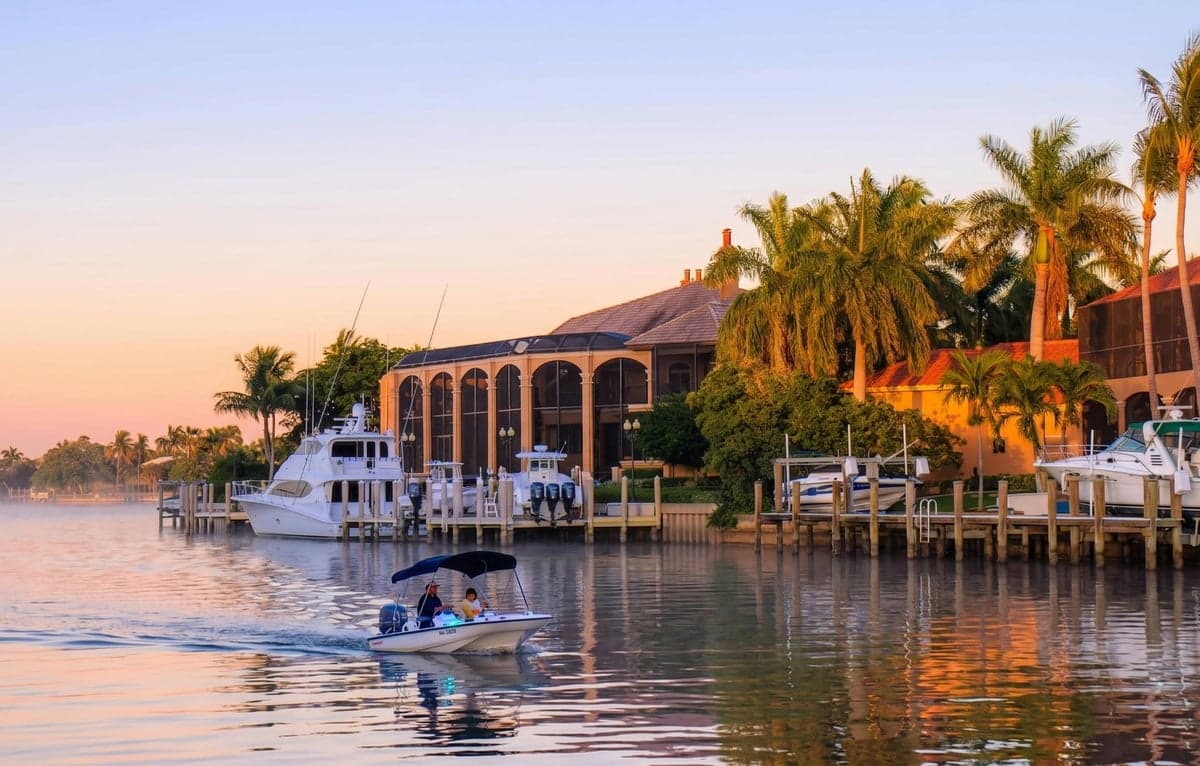
Strategic Assessment of Marco Island, FL
Meaningful friction. Expect exposure to either population pressure, blast zones, or natural disaster risk. Consider buying a retreat property.
What does the Strategic Assessment tell us?
Our Strategic Assessment grades tactical survivability of an area. Major population centers, military targets, fallout zones, natural disasters, and border exposure all drive risk — lower exposure means a more defensible position in a crisis.
This is heavily inspired by Joel Skousen's Strategic Relocation book. Highly recommended you checkout the book ($)What does this tell us?
Our Strategic Assessment grades tactical survivability of an area. Major population centers, military targets, fallout zones, natural disasters, and border exposure all drive risk — lower exposure means a more defensible position in a crisis.
This is heavily inspired by Joel Skousen's Strategic Relocation book. Highly recommended you checkout the book ($)Strategic Pillars

Key Distances
Regional Safe Places
Below is our recommended "safe zones" in Florida and the surrounding area based on our strategic heuristics. For most people, it's unrealistic to live in a “safe zone” full-time due to work, family or other personal reasons. They tend to be more rural. However, many of these areas are perfect for second homes and retreat properties that double as a vacation home or even a short-term rental.

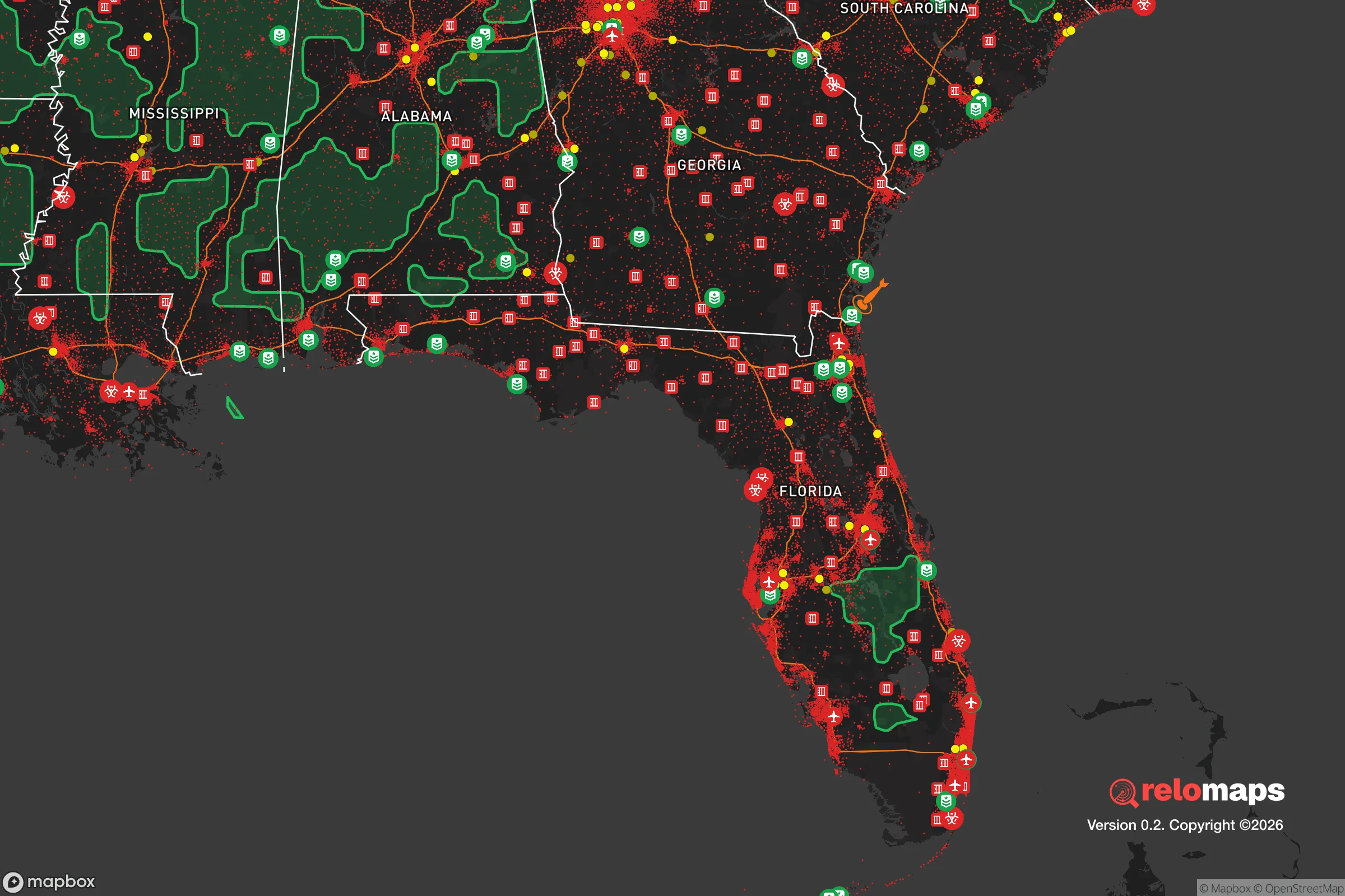
Important Note: For informational purposes only. This does not mean nothing bad ever happens in the green zones. Please use common sense. This is based on public data and modeled with AI. We tried to take a conservative approach but mistakes happen. We update this regularly as new information becomes available.
Solar Generator Recommendations
Backup power matters more here than in safer locations. We've picked three solar generators across budgets and capacity tiers — start with the budget unit if you only need a few essentials, or step up if you want to run a fridge and HVAC for days at a time.

Jackery Portable Power Station Explorer 300
Budget OptionPower on the Go: Weighing only 11 lbs, it's convenient to set up and store with book-sized foldable solar panels

BLUETTI Portable Power Station AC180
Designed for both indoor and outdoor scenarios, AC180 is highly capable as it has a robost capacity and continuous output power.

EF ECOFLOW DELTA Pro Ultra Power Station
Upgraded PickEcoFlow DELTA Pro Ultra is a whole-home energy system designed to grow with your family. Integrated with the Smart Home Panel 2, it scales to meet your evolving energy needs — keeping your home powered, intelligent, and secure through every stage of life.
We earn a commission, at no additional cost to you.
Strategic Assessment Analysis
Marco Island, Florida, presents a complex strategic picture for the conservative prepper or survivalist. Its primary advantage—extreme geographic isolation at the end of a single bridge—is also its greatest vulnerability. While the island offers a defensible, self-contained environment far from the immediate fallout of major urban collapse, its exposure to hurricane storm surge, a single-point-of-failure evacuation route, and proximity to the densely populated Miami-Fort Lauderdale corridor make it a high-risk, high-reward location that demands serious contingency planning.
Geographic isolation and natural defensive advantages
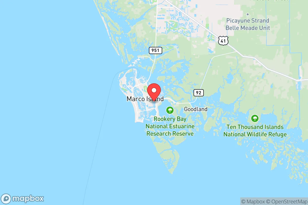
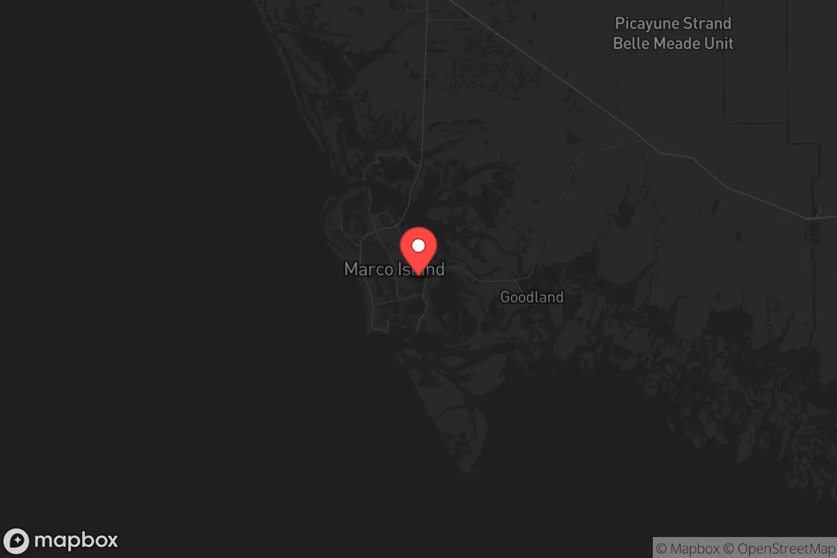
Marco Island sits at the southwestern tip of Florida, roughly 20 miles south of Naples and 100 miles west of Miami. Its location on the Gulf of Mexico, accessible only via the S.S. Jolley Bridge from the mainland, creates a natural chokepoint. For a relocator concerned with civil unrest or mass casualty events, this single-road access is a double-edged sword. In a grid-down scenario or during widespread panic, the bridge can be controlled or blocked by a small, determined group, effectively sealing the island from external threats. The surrounding Ten Thousand Islands and Everglades National Park to the east provide a vast, impassable buffer of mangrove swamp and wilderness, making overland approach from the interior nearly impossible. This natural moat is a significant defensive asset. The island itself is a developed barrier island, roughly 4 miles by 2 miles, with a permanent population of about 15,000 that swells seasonally. Its compact size means a relocator can know the entire terrain, the few entry points, and the neighbors—a key factor for community-based defense and resource management.
Risks, exposures, and proximity to fallout-relevant landmarks
The most glaring risk is hurricane storm surge. Marco Island is a low-lying barrier island; a Category 3 or higher storm can inundate the entire landmass with several feet of saltwater. The 2017 Hurricane Irma and 2022 Hurricane Ian both caused significant flooding and damage, with Ian’s storm surge reaching 6-8 feet in parts of the island. For the prepper, this means any long-term storage of food, ammunition, or critical supplies must be elevated or stored in a hardened, flood-proof structure—a non-trivial engineering challenge. The single bridge is also the evacuation route; if it is damaged or blocked, the island becomes a trap. Regarding fallout from larger events, Marco Island’s relative isolation is a plus. It is 100 miles from the Miami metro area (6.1 million people) and 40 miles from Fort Myers (800,000+). In a scenario of civil unrest, disease outbreak, or economic collapse in those cities, the island is far enough to avoid the immediate wave of refugees, but close enough that the bridge could become a contested point. The presence of the Everglades to the east means no major industrial or military targets nearby, reducing the risk of direct kinetic or radiological fallout. However, the island’s desalination plant and power substations are vulnerable to both storm damage and sabotage, and are located on the mainland side of the bridge—a critical vulnerability.
Practical resilience for a relocator: food, water, energy, and defensibility
For a relocator serious about self-sufficiency, Marco Island requires a deliberate, pre-positioned strategy. Fresh water is the single biggest vulnerability. The island relies on a mainland water treatment plant and a desalination facility. In a prolonged power outage or infrastructure failure, these stop working. A prepper must have a minimum of two weeks of potable water stored per person, plus a means to collect rainwater or purify from canals (which are brackish and tidal). Food security is poor; the island has no significant agriculture. All food is trucked in over the bridge. A long-term food stockpile of 3-6 months is essential. Energy is grid-dependent, but solar is viable. The island gets abundant sunshine, and many homes already have solar panels. A battery backup system (e.g., Tesla Powerwall or similar) can run a refrigerator, lights, and a well pump for a few days, but a generator with stored fuel is more reliable for extended outages. Defensibility is the island’s strongest suit. The single bridge can be monitored and, if necessary, blocked with vehicles or debris. The waterfront homes on the Gulf and bay offer 360-degree visibility. The community is affluent and politically conservative, meaning neighbors are likely to be armed and share a similar worldview regarding self-defense and property rights. Establishing a neighborhood watch and mutual-aid pact before a crisis is the single most effective preparedness measure. The island’s small size also means that a coordinated community can patrol its perimeter effectively. However, the lack of natural cover (mostly manicured lawns and canals) means that any approach is visible—good for defense, but bad for concealment.
The overall strategic picture for Marco Island is one of calculated trade-offs. It offers a defensible, isolated redoubt far from the immediate blast radius of major urban collapse, with a like-minded, affluent population that can organize for mutual defense. But this comes at the cost of extreme vulnerability to natural disaster (hurricane surge), a single-point-of-failure supply chain (the bridge), and a complete lack of local food or water production. For the single individual or family willing to invest in serious hardening—elevated storage, a robust water plan, a generator, and a community network—Marco Island can be a viable long-term fallback location. For those unwilling or unable to make that investment, the island’s risks likely outweigh its rewards. It is not a bug-out location; it is a stand-and-hold location, and only for those who prepare accordingly.
* Values derived from national, state, county, city and local statistics and may differ in a specific area. Last updated: 2026-05-14T01:32:48.000Z
Narrative content on this page is AI-generated and may contain mistakes. Verify any details that matter before acting on them.
ReloMaps may earn a commission from affiliate links at no extra cost to you.