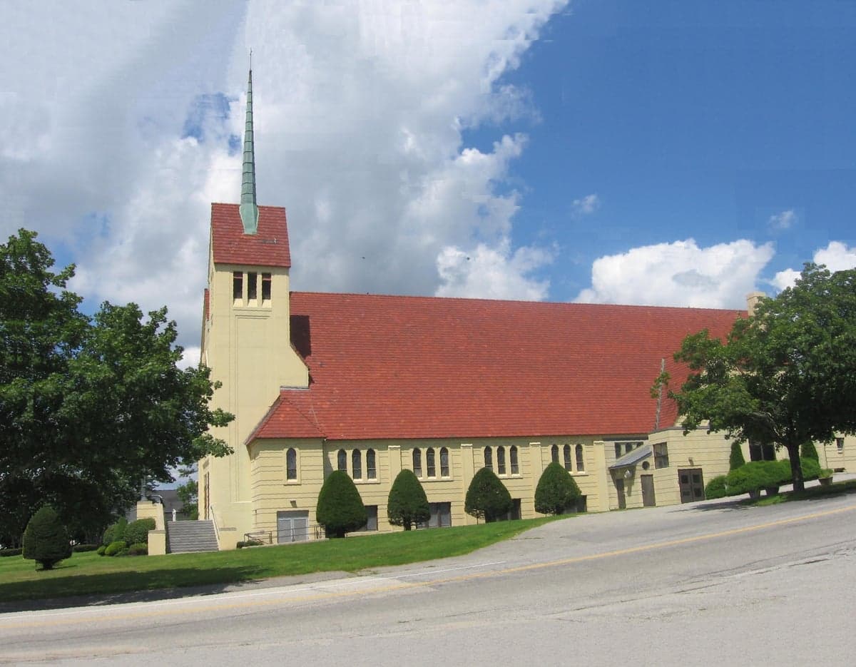
Photo: Wikipedia
Strategic Assessment of Androscoggin County
Meaningful friction. Expect exposure to either population pressure, blast zones, or natural disaster risk. Consider buying a retreat property.
What does the Strategic Assessment tell us?
Our Strategic Assessment grades tactical survivability of an area. Major population centers, military targets, fallout zones, natural disasters, and border exposure all drive risk — lower exposure means a more defensible position in a crisis.
This is heavily inspired by Joel Skousen's Strategic Relocation book. Highly recommended you checkout the book ($)What does this tell us?
Our Strategic Assessment grades tactical survivability of an area. Major population centers, military targets, fallout zones, natural disasters, and border exposure all drive risk — lower exposure means a more defensible position in a crisis.
This is heavily inspired by Joel Skousen's Strategic Relocation book. Highly recommended you checkout the book ($)Strategic Pillars

Key Distances
Strategic Assessment Analysis
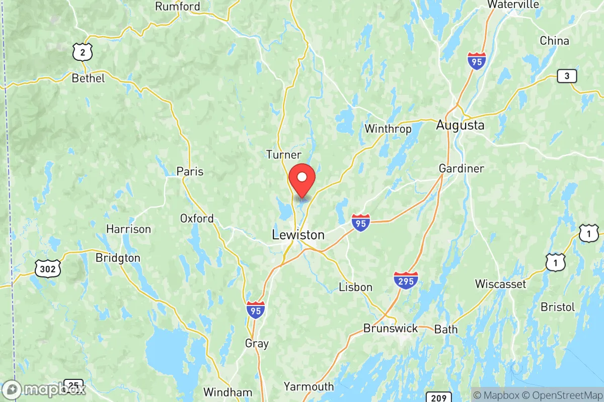
Androscoggin County, anchored by the city of Lewiston and its twin city Auburn, offers a strategic blend of rural accessibility and industrial history that appeals to relocation-minded individuals and families prioritizing resilience and self-sufficiency. Situated roughly 35 miles north of Portland and 140 miles north of Boston, the county sits far enough from major metropolitan centers to avoid the worst of urban collapse scenarios while remaining connected to supply chains and medical infrastructure via Interstate 95 and the Maine Turnpike. The county's position along the Androscoggin River, combined with its working-class industrial base and relatively low population density outside the Lewiston-Auburn urban core, creates a practical foundation for a serious disaster-preparedness relocation strategy.
Geographic position and natural advantages for long-term security
Androscoggin County's geography provides several structural advantages for a relocator focused on resilience. The county is bisected by the Androscoggin River, which offers a reliable freshwater source and historical hydropower capacity, with dams at Lewiston, Auburn, and Lisbon Falls still generating electricity. The terrain transitions from the river valley into rolling hills and forested areas, particularly in the northern towns of Livermore, Livermore Falls, and Turner, where agricultural land and woodlots are more common. This mix of river access, arable soil, and forest cover supports a basic level of food and fuel self-sufficiency. The county's position inland, roughly 50 miles from the Atlantic coast at its closest point, reduces exposure to hurricane storm surge and sea-level rise, while the surrounding hills provide natural defensibility and line-of-sight limitations for anyone moving through the area. The county's 2020 population of roughly 111,000 is concentrated heavily in Lewiston-Auburn (about 60,000 combined), leaving the remaining towns — including Greene, Leeds, and Poland — with densities below 100 people per square mile, which is favorable for those seeking operational security and reduced competition for resources in a crisis.
Risks, exposures, and proximity to fallout-relevant landmarks
No strategic assessment is complete without a clear-eyed look at the risks. Androscoggin County's primary man-made exposure comes from its industrial history and current infrastructure. The Lewiston-Auburn area hosts several former textile mill complexes along the river, some of which contain legacy industrial contaminants; a major fire or structural failure at these sites could release hazardous materials into the air or water. More significantly, the county lies within 100 miles of the Portsmouth Naval Shipyard in Kittery, Maine, a nuclear-capable maintenance facility for the U.S. Navy's submarine fleet, and within 150 miles of the Maine Yankee nuclear waste storage site in Wiscasset. In a conflict scenario involving nuclear assets, these are high-value targets that could generate fallout plumes reaching Androscoggin County depending on wind direction. The county also sits roughly 60 miles from the Portland International Jetport and 45 miles from the Brunswick Executive Airport (former Naval Air Station Brunswick), both of which could become military logistics hubs in a crisis, drawing secondary strikes or ground-force movements. Natural risks are more manageable: the county experiences cold winters with average snowfall around 70 inches, which can stress unprepared infrastructure, but it is not in a designated floodplain for catastrophic river flooding, and the region's seismic activity is negligible. The most realistic day-to-day risk is a prolonged winter power outage, which the aging grid in rural parts of the county is poorly equipped to handle.
Practical resilience for a relocator: food, water, energy, and defensibility
For a relocator serious about self-sufficiency, Androscoggin County offers a mixed but workable picture. The agricultural base is modest but present: the county has roughly 200 farms, concentrated in the towns of Turner, Livermore, and Leeds, producing dairy, hay, apples, and vegetables. The Lewiston-Auburn area has several farmers' markets and a strong network of local food producers, but the county is not a net food exporter, meaning a long-term disruption to trucking would strain local supplies within two to three weeks. Water access is excellent for those living near the Androscoggin River or its tributaries, but well-dependent rural properties should test for arsenic, which is naturally occurring in Maine bedrock and affects an estimated 20% of private wells in the region. Energy resilience is a bright spot: the county has multiple hydroelectric dams, and the rural areas have high adoption of wood and pellet heating, which provides a decentralized heat source independent of the grid. Solar potential is moderate — Maine averages about 200 sunny days per year, less than the Southwest but sufficient for a well-sized off-grid system with battery storage. Defensibility varies by location: the river valley and the urban areas of Lewiston-Auburn are relatively open and hard to secure, while the hillier, forested towns of northern Androscoggin County offer natural chokepoints, limited road access, and good line-of-sight for perimeter awareness. Property prices remain affordable compared to southern Maine, with median home values around $250,000 as of 2025, making it feasible to acquire acreage with water access without taking on crippling debt.
Overall, Androscoggin County presents a credible option for the strategic relocator who values affordability, water access, and a position outside the immediate blast radius of major East Coast targets, while accepting the trade-offs of a cold climate, moderate agricultural capacity, and proximity to secondary military infrastructure. The county is not a bunker — it is a working-class region with real vulnerabilities, including an aging power grid and industrial legacy sites — but for someone willing to invest in off-grid heating, water testing, and a well-stocked pantry, it offers a defensible and livable base of operations within a day's drive of Boston and Portland. The key is to locate in the northern or eastern towns — Turner, Livermore, Leeds, or Greene — rather than the Lewiston-Auburn core, to maximize the natural advantages of terrain, water, and distance from the most likely points of failure.

* Values derived from national, state, county, city and local statistics and may differ in a specific area. Last updated: 2026-08-23T18:55:46.000Z
Narrative content on this page is AI-generated and may contain mistakes. Verify any details that matter before acting on them.
ReloMaps may earn a commission from affiliate links at no extra cost to you.

