Photo: Wikipedia
Strategic Assessment of Magdalena, NM
Strong survivability profile. Good buffer from population centers, with manageable environmental and tactical risks.
What does the Strategic Assessment tell us?
Our Strategic Assessment grades tactical survivability of an area. Major population centers, military targets, fallout zones, natural disasters, and border exposure all drive risk — lower exposure means a more defensible position in a crisis.
This is heavily inspired by Joel Skousen's Strategic Relocation book. Highly recommended you checkout the book ($)What does this tell us?
Our Strategic Assessment grades tactical survivability of an area. Major population centers, military targets, fallout zones, natural disasters, and border exposure all drive risk — lower exposure means a more defensible position in a crisis.
This is heavily inspired by Joel Skousen's Strategic Relocation book. Highly recommended you checkout the book ($)Strategic Pillars

Key Distances
Regional Safe Places
Below is our recommended "safe zones" in New Mexico and the surrounding area based on our strategic heuristics. For most people, it's unrealistic to live in a “safe zone” full-time due to work, family or other personal reasons. They tend to be more rural. However, many of these areas are perfect for second homes and retreat properties that double as a vacation home or even a short-term rental.

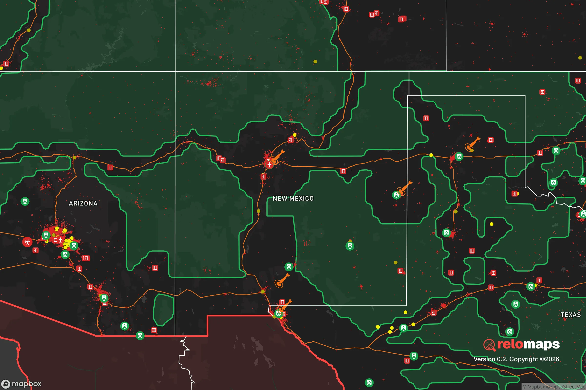


Important Note: For informational purposes only. This does not mean nothing bad ever happens in the green zones. Please use common sense. This is based on public data and modeled with AI. We tried to take a conservative approach but mistakes happen. We update this regularly as new information becomes available.
Solar Generator Recommendations
Backup power matters more here than in safer locations. We've picked three solar generators across budgets and capacity tiers — start with the budget unit if you only need a few essentials, or step up if you want to run a fridge and HVAC for days at a time.

Jackery Portable Power Station Explorer 300
Budget OptionPower on the Go: Weighing only 11 lbs, it's convenient to set up and store with book-sized foldable solar panels

BLUETTI Portable Power Station AC180
Designed for both indoor and outdoor scenarios, AC180 is highly capable as it has a robost capacity and continuous output power.

EF ECOFLOW DELTA Pro Ultra Power Station
Upgraded PickEcoFlow DELTA Pro Ultra is a whole-home energy system designed to grow with your family. Integrated with the Smart Home Panel 2, it scales to meet your evolving energy needs — keeping your home powered, intelligent, and secure through every stage of life.
We earn a commission, at no additional cost to you.
Strategic Assessment Analysis
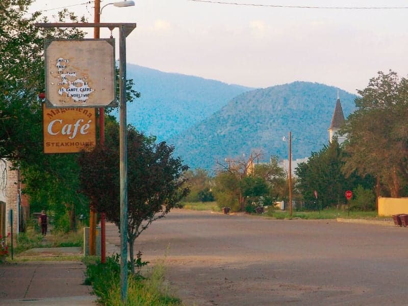
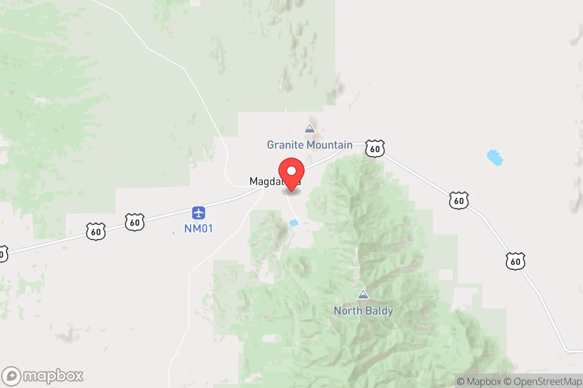
Magdalena, New Mexico, sits at a strategic crossroads for the relocator who values distance from major population centers without complete isolation. This small village of roughly 900 residents, located in Socorro County about 80 miles southwest of Albuquerque, offers a blend of high desert remoteness and practical access that makes it worth a serious look for disaster readiness and self-sufficiency planning. Its position along the historic U.S. 60 corridor places it within a reasonable drive of Socorro (25 miles east) and the more substantial resources of the Rio Grande Valley, yet far enough to avoid the immediate fallout zones and congestion that come with larger cities.
Geographic position and natural advantages for long-term resilience
Magdalena's setting in the San Agustin Plains, at an elevation of roughly 6,600 feet, provides several inherent resilience advantages. The area is arid, with annual precipitation around 10-12 inches, which reduces risks from flooding and mold compared to wetter regions, though it also means water conservation is a constant consideration. The surrounding terrain is a mix of open plains, piñon-juniper woodlands, and the Magdalena Mountains to the west, offering natural barriers that slow casual access while still allowing for egress routes via U.S. 60 and NM 52. The low population density of Socorro County (roughly 3 people per square mile) means that in a crisis, competition for local resources would be far less intense than in suburban or urban settings. The area's distance from major military installations—White Sands Missile Range is about 70 miles south, and Kirtland Air Force Base near Albuquerque is 80 miles northeast—reduces the likelihood of being in a primary target zone during a conflict, though secondary effects like electromagnetic pulse (EMP) or supply chain disruptions would still be felt. The high desert climate also means fewer natural disasters: tornadoes are rare, hurricanes are nonexistent, and the wildfire risk, while present, is manageable with proper defensible space around structures.
Risks, exposures, and proximity to fallout-relevant landmarks
No location is without risk, and Magdalena has specific exposures that a serious relocator must weigh. The most significant man-made risk is its proximity to the Trinity Site, the location of the first atomic bomb test, roughly 50 miles southeast. While the site itself is a historical landmark and not an active threat, the area's legacy as a nuclear testing region means that any future conflict involving nuclear weapons could place Magdalena within a secondary fallout plume depending on wind patterns and target selection. Additionally, the nearby White Sands Missile Range conducts regular testing, and while the risk of a stray incident is low, it's a factor that distinguishes this area from more remote parts of the country. On the natural hazard side, the region is seismically quiet, but the primary risk is drought and the potential for prolonged water scarcity. The San Agustin Plains sit atop a significant aquifer, but groundwater levels have declined in recent decades due to agricultural use, and any long-term self-sufficiency plan must account for well depth and recharge rates. Wildfire risk is moderate, particularly in the forested areas of the Magdalena Mountains, but the open plains around the village itself offer natural firebreaks. The nearest hospital is in Socorro, 25 miles away, which is a consideration for medical emergencies but also means the area is not a primary target for infrastructure attacks that would affect larger medical centers.
Practical resilience for a relocator: food, water, energy, and defensibility
For someone serious about self-sufficiency, Magdalena offers a mixed but workable picture. Water is the critical limiting factor. The village itself has a municipal water system sourced from wells, but for a relocator looking to live off-grid or on acreage, drilling a well is essential. Depths in the area can range from 200 to 500 feet, and yields vary; it's wise to consult local drillers and neighboring property owners before purchasing land. Rainwater catchment is feasible given the low annual precipitation, but storage capacity must be substantial to bridge dry periods. The San Agustin Plains are also home to the Very Large Array (VLA) radio telescope, a federal facility that employs a small number of people and brings some infrastructure to the area, but it also means that radio frequency interference is a non-issue for communications—though the VLA itself could be a point of interest in a conflict scenario. Food resilience is achievable: the growing season is short (roughly 120 frost-free days) but suitable for cold-hardy crops like potatoes, carrots, kale, and grains. Local livestock grazing is common, and the area supports cattle, goats, and poultry. The Magdalena Farmers Market operates seasonally, but for serious food security, a relocator should plan to produce the majority of their own calories. Energy is a strong point: solar potential is excellent, with over 280 sunny days per year, and wind is consistent enough to supplement with small turbines. Off-grid solar setups are common in the area, and local contractors are familiar with installation and maintenance. Defensibility is aided by the terrain: the village sits in a valley with mountain views, and properties on the outskirts can take advantage of natural chokepoints and long sightlines. The community itself is small and tight-knit, which can be a double-edged sword—outsiders may be viewed with suspicion initially, but those who integrate and contribute will find strong mutual aid networks. Law enforcement presence is minimal, with the Socorro County Sheriff's Office covering a vast area, so personal security and community watch arrangements are practical considerations.
The overall strategic picture for Magdalena is one of trade-offs that favor the prepared relocator who values distance over convenience. It is not a bug-out location for a weekend warrior; it is a place to build a life with resilience as a core principle. The area's isolation from major cities and military targets is a genuine asset, but it comes with the responsibility of self-reliance in water, food, and medical care. For a family or individual willing to invest in well drilling, solar infrastructure, and a serious garden, Magdalena offers a defensible, low-profile base with a climate that supports year-round habitation. The proximity to Socorro and the I-25 corridor provides a lifeline for supplies and employment, but the village itself remains off the beaten path. For the conservative-leaning relocator who prioritizes preparedness, community, and a slower pace, Magdalena deserves a place on the short list—provided they go in with eyes open about the water challenge and the legacy of the region's nuclear history.

* Values derived from national, state, county, city and local statistics and may differ in a specific area. Last updated: 2026-10-17T03:56:18.000Z
Narrative content on this page is AI-generated and may contain mistakes. Verify any details that matter before acting on them.
ReloMaps may earn a commission from affiliate links at no extra cost to you.

