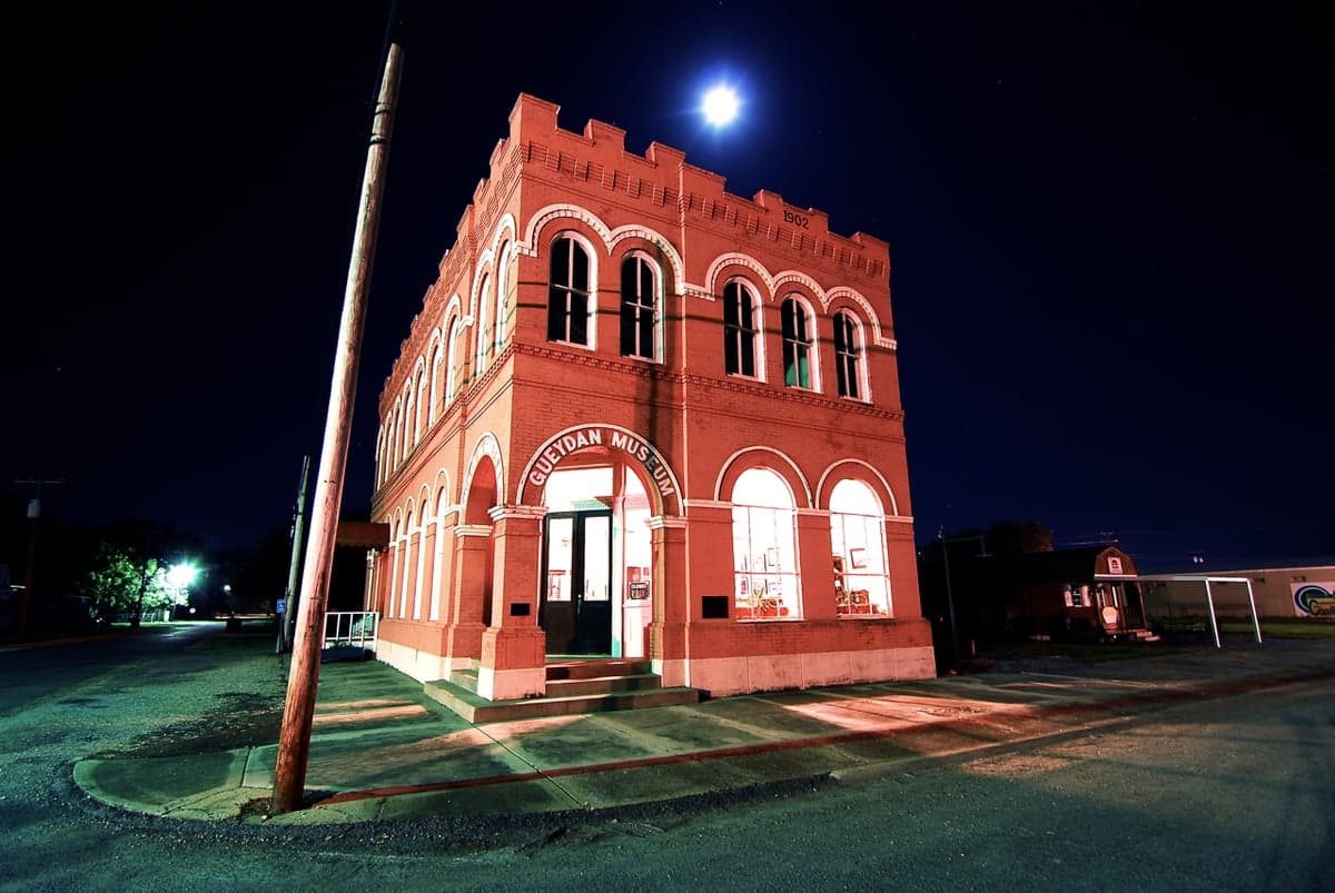
Photo: Wikipedia
Strategic Assessment of Vermilion County
Meaningful friction. Expect exposure to either population pressure, blast zones, or natural disaster risk. Consider buying a retreat property.
What does the Strategic Assessment tell us?
Our Strategic Assessment grades tactical survivability of an area. Major population centers, military targets, fallout zones, natural disasters, and border exposure all drive risk — lower exposure means a more defensible position in a crisis.
This is heavily inspired by Joel Skousen's Strategic Relocation book. Highly recommended you checkout the book ($)What does this tell us?
Our Strategic Assessment grades tactical survivability of an area. Major population centers, military targets, fallout zones, natural disasters, and border exposure all drive risk — lower exposure means a more defensible position in a crisis.
This is heavily inspired by Joel Skousen's Strategic Relocation book. Highly recommended you checkout the book ($)Strategic Pillars

Key Distances
Strategic Assessment Analysis
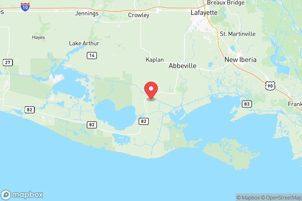
Vermilion County, Louisiana, offers a distinctive strategic position for relocators prioritizing resilience and self-sufficiency, combining deep-water access with a low population density that buffers against the cascading failures of major metropolitan areas. Located in the Acadiana region, the county sits roughly 30 miles from the Gulf of Mexico and 140 miles west of New Orleans, placing it outside the immediate blast and fallout zones of major strategic targets while still providing access to critical infrastructure. The area's economic and logistical anchor is the Port of Vermilion at Intracoastal City, a major hub for offshore oil and gas support, which simultaneously represents both a key resource and a potential risk vector for those assessing long-term preparedness.
Geographic position and natural advantages for long-term stability
Vermilion County's geography provides several inherent resilience benefits that are difficult to replicate in more developed regions. The county is bisected by the Vermilion River and bordered by the Gulf Intracoastal Waterway, offering redundant water-based transportation routes that remain functional when road networks are compromised. The terrain is predominantly flat coastal prairie and marshland, with elevations averaging 10 to 20 feet above sea level, which limits defensible high ground but provides excellent agricultural soil in the northern half of the county around Abbeville, the parish seat. The area's position relative to major population centers is a double-edged sword: it is far enough from Houston's refinery corridor (roughly 200 miles west) and Baton Rouge's industrial complex (roughly 90 miles north) to avoid direct blast effects, yet close enough to serve as a secondary supply route if coastal shipping lanes remain operational. The county's extensive network of bayous and canals, including the Freshwater Bayou Canal, provides natural barriers to uncontrolled movement and can be leveraged for perimeter security in a grid-down scenario.
Risk exposure and proximity to fallout-relevant landmarks
The most significant risk for Vermilion County relocators stems from its proximity to energy infrastructure that could become a target during conflict or a source of secondary disasters. The Port of Vermilion at Intracoastal City is a primary staging area for offshore oil platforms and handles substantial volumes of crude oil and natural gas liquids, making it a plausible target for sabotage or conventional attack. Additionally, the Henry Hub natural gas pipeline nexus, located roughly 30 miles north in Erath, is one of the most critical energy infrastructure nodes in the United States, pricing a majority of domestic natural gas futures. A disruption at Henry Hub would have national economic consequences, and its proximity to Vermilion County means relocators must account for potential evacuation or shelter-in-place scenarios tied to that specific landmark. The county also faces chronic natural hazards: hurricane storm surge can push 10 to 15 feet inland along the Vermilion River, and the area has experienced significant flooding events, including the 2016 Louisiana floods that inundated parts of Abbeville and Kaplan. For those assessing nuclear fallout risk, Vermilion County is downwind of no major strategic bomber bases or missile silos, but prevailing winds from the south and southwest could carry fallout from a strike on the Houston Ship Channel or the Sabine Pass LNG terminals, approximately 100 miles to the west.
Practical resilience for a relocator: food, water, energy, and defensibility
For a family or individual serious about self-sufficiency, Vermilion County offers strong fundamentals in food and water security but requires deliberate preparation in energy and defensibility. The county sits atop the Chicot Aquifer, one of the most productive groundwater sources in Louisiana, providing reliable well water at depths of 100 to 300 feet across most of the parish. The agricultural sector is robust: Vermilion is a top producer of rice, soybeans, and crawfish in Louisiana, with extensive farming operations around Gueydan and Maurice. This means local food supply chains are shorter and more resilient than in urban areas, and relocators with acreage can integrate into existing farming networks or barter systems. Energy resilience is more challenging: the county is served by Entergy Louisiana and SLEMCO, both of which rely on a centralized grid vulnerable to hurricane damage and cascading failure. However, the prevalence of oilfield support services means diesel generators, solar panels, and battery systems are readily available through local suppliers in Abbeville and Kaplan. Defensibility is moderate: the flat, open terrain offers long sightlines but limited natural cover, and the county's 15,000 residents spread across 398 square miles means response times from the Vermilion Parish Sheriff's Office can exceed 20 minutes in rural areas. Relocators should prioritize properties with canal or river frontage for secondary access and should establish mutual-aid agreements with neighbors, as the county's Cajun culture traditionally emphasizes community cooperation over individual isolation.
The overall strategic picture for Vermilion County is one of calculated trade-offs rather than unqualified safety. Its distance from primary strategic targets like New Orleans, Baton Rouge, and Houston's refinery corridor reduces the likelihood of direct attack, but its role as a hub for offshore energy and natural gas transmission introduces unique vulnerabilities that require active mitigation. For the relocator who values water access, agricultural abundance, and a low-profile community with strong informal support networks, Vermilion County presents a viable option that balances accessibility with buffer. The key is to treat the Port of Vermilion and Henry Hub not as deal-breakers but as known variables that demand specific preparations: redundant water storage, off-grid power, and a clear evacuation plan for hurricane season. In a scenario where coastal infrastructure is degraded but not destroyed, Vermilion County's position along the Intracoastal Waterway could make it a critical node for regional recovery, rewarding those who have invested in both self-sufficiency and community integration.

* Values derived from national, state, county, city and local statistics and may differ in a specific area. Last updated: 2026-06-26T19:20:13.000Z
Narrative content on this page is AI-generated and may contain mistakes. Verify any details that matter before acting on them.
ReloMaps may earn a commission from affiliate links at no extra cost to you.

