
Photo: Wikipedia
Strategic Assessment of Tangipahoa County
Workable tactical position. Some exposure to population density or targets, but generally defensible in a crisis.
What does the Strategic Assessment tell us?
Our Strategic Assessment grades tactical survivability of an area. Major population centers, military targets, fallout zones, natural disasters, and border exposure all drive risk — lower exposure means a more defensible position in a crisis.
This is heavily inspired by Joel Skousen's Strategic Relocation book. Highly recommended you checkout the book ($)What does this tell us?
Our Strategic Assessment grades tactical survivability of an area. Major population centers, military targets, fallout zones, natural disasters, and border exposure all drive risk — lower exposure means a more defensible position in a crisis.
This is heavily inspired by Joel Skousen's Strategic Relocation book. Highly recommended you checkout the book ($)Strategic Pillars

Key Distances
Strategic Assessment Analysis
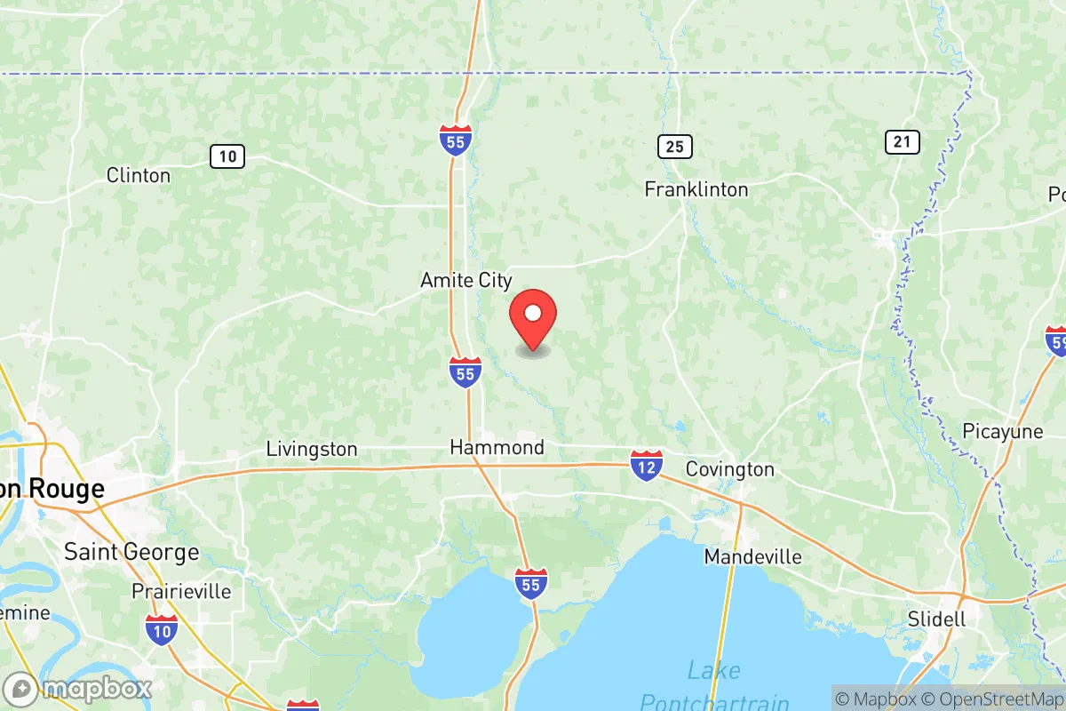
Tangipahoa Parish, Louisiana, offers a compelling strategic position for relocators prioritizing resilience and self-sufficiency, balancing proximity to major Gulf Coast infrastructure with a semi-rural buffer that reduces exposure to the highest-risk zones. Located roughly 50 miles north of Lake Pontchartrain and 70 miles from downtown New Orleans, the parish sits at a critical intersection of Interstate 12 and Interstate 55, providing rapid access to Baton Rouge (45 minutes west) and the Mississippi Gulf Coast (90 minutes east). This positioning gives residents the economic and logistical benefits of nearby metropolitan areas while maintaining a distinct separation from the densest population centers and their associated vulnerabilities. For a reader thinking seriously about disaster readiness, Tangipahoa represents a middle-ground option—close enough to urban resources for supply runs and medical care, yet far enough to avoid the worst of a coastal evacuation or a regional infrastructure collapse.
Geographic position and natural advantages for self-sufficiency
Tangipahoa Parish’s geography is defined by its position on the Florida Parishes, a region of rolling pine hills and hardwood forests that sits above the coastal marshlands. The parish’s northern half, anchored by the town of Amite City and the village of Kentwood, features higher elevations—typically 100 to 200 feet above sea level—which significantly reduces flood risk compared to the low-lying areas south of Interstate 12. The Tangipahoa River, which runs north-south through the parish, provides a natural water source, though its floodplain requires careful site selection. The area’s abundant rainfall (averaging 60 inches annually) supports robust private wells and rainwater catchment systems, a key advantage for off-grid water security. The parish’s forested terrain offers natural cover and defensibility, with numerous rural parcels that allow for privacy and buffer from main roads. For a relocator seeking a property that can sustain a family through extended disruptions, the northern half of Tangipahoa—particularly around Independence and Roseland—offers the best combination of elevation, water access, and seclusion.
Risks, exposures, and proximity to fallout-relevant landmarks
While Tangipahoa avoids the direct hurricane storm surge that devastates coastal parishes, it remains exposed to hurricane-force winds, tornadoes, and the indirect effects of regional disasters. The parish lies within the New Orleans-Baton Rouge industrial corridor, a dense network of refineries, chemical plants, and petrochemical storage facilities that stretches along the Mississippi River. The ExxonMobil Baton Rouge Refinery (the fifth-largest in the U.S.) and the Shell Norco Manufacturing Complex are both within 50 miles, meaning a major industrial accident or terrorist event at either site could produce a toxic plume or secondary hazards that affect Tangipahoa’s air quality and water supply. Additionally, the parish sits within 100 miles of the Port of South Louisiana (the largest tonnage port in the Western Hemisphere) and the Louisiana Offshore Oil Port (LOOP), both high-value targets for any state-level disruption. For a reader concerned about fallout from a major industrial or infrastructure event, Tangipahoa’s prevailing winds (typically from the south and southeast) mean that a release from the Baton Rouge or New Orleans areas would likely blow northward, directly over the parish. The Louisiana Army Ammunition Plant near Minden (200 miles northwest) and the Naval Air Station Joint Reserve Base New Orleans (60 miles south) are additional military assets that could become focal points in a broader conflict. The parish’s own infrastructure—including the Tangipahoa Parish Airport and the major rail lines running parallel to I-55—could see secondary effects from any regional disruption.
Practical resilience for a relocator: food, water, energy, and defensibility
Tangipahoa Parish offers strong practical resilience for a relocator willing to invest in self-sufficient systems. The parish is a major agricultural producer in Louisiana, with significant acreage dedicated to strawberries, timber, cattle, and poultry. The town of Ponchatoula, known as the "Strawberry Capital of the World," hosts a year-round farmers market and a network of local producers that can supply fresh food even during supply chain disruptions. The parish’s timber industry provides a local source of firewood and building materials, while the numerous small farms and homesteads in the northern half of the parish create a culture of self-reliance that newcomers can tap into. Water access is excellent: the Southern Hills Aquifer underlies the entire parish, providing clean groundwater at depths of 200-400 feet, and many rural properties already have private wells. For energy, the parish is served by Entergy Louisiana and Washington-St. Tammany Electric Cooperative, but grid reliability is moderate—hurricane-related outages can last 3-7 days in rural areas. Solar potential is good, with the parish averaging 5.2 peak sun hours per day, and local installers are available in Hammond (the parish seat and largest city). Defensibility is a mixed picture: the parish’s rural character and forested terrain provide natural screening, but the major highways (I-12, I-55, US-51) create evacuation corridors that could also serve as avenues for unwanted movement during a crisis. The parish’s law enforcement presence is modest—the Tangipahoa Parish Sheriff’s Office has roughly 150 deputies for a population of 135,000—so relocators should plan for self-defense and community-based security rather than relying on rapid official response. The Tangipahoa Parish Office of Homeland Security and Emergency Preparedness provides regular updates and maintains a parish-wide alert system, but its capacity is limited to coordination rather than direct protection.
Overall, Tangipahoa Parish presents a balanced strategic picture for the disaster-conscious relocator: it offers genuine geographic advantages in elevation, water access, and local food production, but it sits within the shadow of one of America’s most concentrated industrial and military zones. The parish’s greatest strength is its semi-rural character and the self-sufficiency culture of its northern communities, which provide a buffer against the chaos of a coastal evacuation or a New Orleans infrastructure collapse. Its greatest weakness is the unavoidable proximity to the Baton Rouge-New Orleans industrial corridor, which introduces a set of man-made risks that no amount of personal preparedness can fully mitigate. For a single individual or family willing to invest in a well-secured property with private water and solar power, and who is comfortable with a 45-minute drive to major medical facilities in Baton Rouge or Hammond, Tangipahoa offers a viable middle-ground option—neither the high-risk coastal zone nor the remote interior, but a defensible position with access to both resources and retreat. The key is to choose a location north of Interstate 12, preferably in the Amite-Kentwood-Independence triangle, where elevation, water, and community resilience are strongest.

* Values derived from national, state, county, city and local statistics and may differ in a specific area. Last updated: 2026-09-29T18:28:21.000Z
Narrative content on this page is AI-generated and may contain mistakes. Verify any details that matter before acting on them.
ReloMaps may earn a commission from affiliate links at no extra cost to you.

