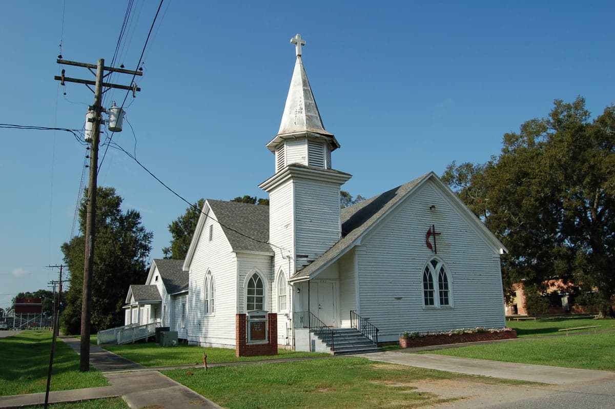
Photo: Wikipedia
Strategic Assessment of Jefferson Davis County
Workable tactical position. Some exposure to population density or targets, but generally defensible in a crisis.
What does the Strategic Assessment tell us?
Our Strategic Assessment grades tactical survivability of an area. Major population centers, military targets, fallout zones, natural disasters, and border exposure all drive risk — lower exposure means a more defensible position in a crisis.
This is heavily inspired by Joel Skousen's Strategic Relocation book. Highly recommended you checkout the book ($)What does this tell us?
Our Strategic Assessment grades tactical survivability of an area. Major population centers, military targets, fallout zones, natural disasters, and border exposure all drive risk — lower exposure means a more defensible position in a crisis.
This is heavily inspired by Joel Skousen's Strategic Relocation book. Highly recommended you checkout the book ($)Strategic Pillars

Key Distances
Strategic Assessment Analysis
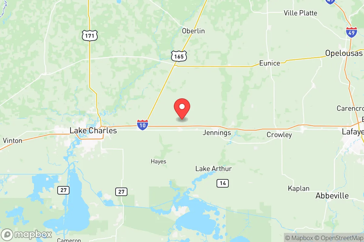
Jefferson Davis County, Louisiana, sits in a strategic pocket of the southwestern part of the state, offering a blend of rural seclusion and practical access that appeals to relocation-minded individuals and families focused on resilience and self-sufficiency. Its position roughly 30 miles north of the Gulf of Mexico and 40 miles east of the Texas border places it outside the immediate blast radius of major urban centers like Lake Charles (25 miles west) and Baton Rouge (100 miles east), while still providing a logistical corridor to resources along Interstate 10. The county's low population density—around 14,000 residents spread across 659 square miles—means fewer targets and more breathing room, a key consideration for those assessing long-term stability in an uncertain world.
Geographic position and natural advantages for self-sufficiency
Jefferson Davis County's geography is defined by its flat, coastal plain terrain and its position within the Mermentau River basin, which provides a natural water source and fertile soil for small-scale agriculture. The county seat, Jennings, sits at the junction of U.S. Highway 90 and State Highway 26, offering a practical hub for supply runs without the congestion of larger metro areas. The area's proximity to the Cajun Prairie and numerous bayous supports hunting, fishing, and foraging—assets for a family looking to supplement food supplies. The county's distance from major petrochemical clusters, such as the Lake Charles refinery corridor (home to Citgo and Phillips 66 facilities), reduces exposure to secondary industrial fallout, while its location on the Gulf Coast flyway provides migratory bird populations for sustainable hunting. The flat terrain also simplifies off-grid infrastructure like solar panel placement and rainwater catchment, though it offers limited natural defensibility compared to hillier regions.
Risks, exposures, and proximity to fallout-relevant landmarks
While Jefferson Davis County avoids the direct blast zones of major cities, it is not without vulnerabilities. The county lies within 50 miles of the Lake Charles Chemical Corridor, a dense concentration of refineries and LNG terminals that could become secondary targets or accident sites during a crisis. The Calcasieu Ship Channel, 35 miles west, handles significant maritime traffic and hazardous materials, posing a contamination risk to waterways. Hurricane risk is the primary natural threat—the area sits in a high-risk zone for storm surge and wind damage, as demonstrated by Hurricanes Laura and Delta in 2020, which caused widespread power outages and structural damage in Jennings and surrounding communities. Flooding from the Mermentau River and its tributaries is a recurring concern, particularly in low-lying areas near Lake Arthur and the Lacassine National Wildlife Refuge. On the positive side, the county's distance from military installations like Fort Polk (80 miles north) and Barksdale Air Force Base (150 miles north) reduces its attractiveness as a strategic target, though the nearby Interstate 10 corridor could see refugee movement during a regional evacuation.
Practical resilience for a relocator: food, water, energy, and defensibility
For a family or individual serious about self-sufficiency, Jefferson Davis County offers a mixed but workable resilience profile. Groundwater is accessible via shallow wells across most of the county, with the Chicot Aquifer providing reliable yields at depths of 50-150 feet—a critical advantage for off-grid water independence. The agricultural base, including rice, soybeans, and crawfish farming in areas like Welsh and Elton, means local food production is a realistic option, though newcomers should plan for a 6-12 month learning curve. Energy resilience is feasible: the region averages 215 sunny days per year, supporting solar arrays, and wood-burning stoves are practical given the surrounding pine forests. Defensibility is the weakest link—the flat, open terrain offers few natural chokepoints, and the county's rural roads (primarily two-lane highways) could become congested during a mass evacuation from Lake Charles or Lafayette. However, the small population and lack of high-value infrastructure mean the area is unlikely to draw organized looters or military attention, making it a viable "gray man" location for those who prefer to stay under the radar. The Jennings Airport (3R7) provides a small airstrip for private aircraft, adding an evacuation option for prepared relocators.
The overall strategic picture for Jefferson Davis County is one of calculated trade-offs. It offers genuine advantages in water availability, agricultural potential, and distance from primary targets, but demands serious preparation for hurricane threats and industrial spill risks from the Lake Charles corridor. For a conservative-leaning family seeking a rural base with access to Gulf Coast resources and a low-profile existence, the county represents a solid middle-ground option—neither a fortress nor a vulnerability, but a place where practical self-reliance can be built over time. The key is to arrive with a plan for storm hardening, well installation, and a community network in towns like Jennings or Welsh, where local knowledge of the land and weather patterns remains strong.

* Values derived from national, state, county, city and local statistics and may differ in a specific area. Last updated: 2026-07-18T19:46:25.000Z
Narrative content on this page is AI-generated and may contain mistakes. Verify any details that matter before acting on them.
ReloMaps may earn a commission from affiliate links at no extra cost to you.

