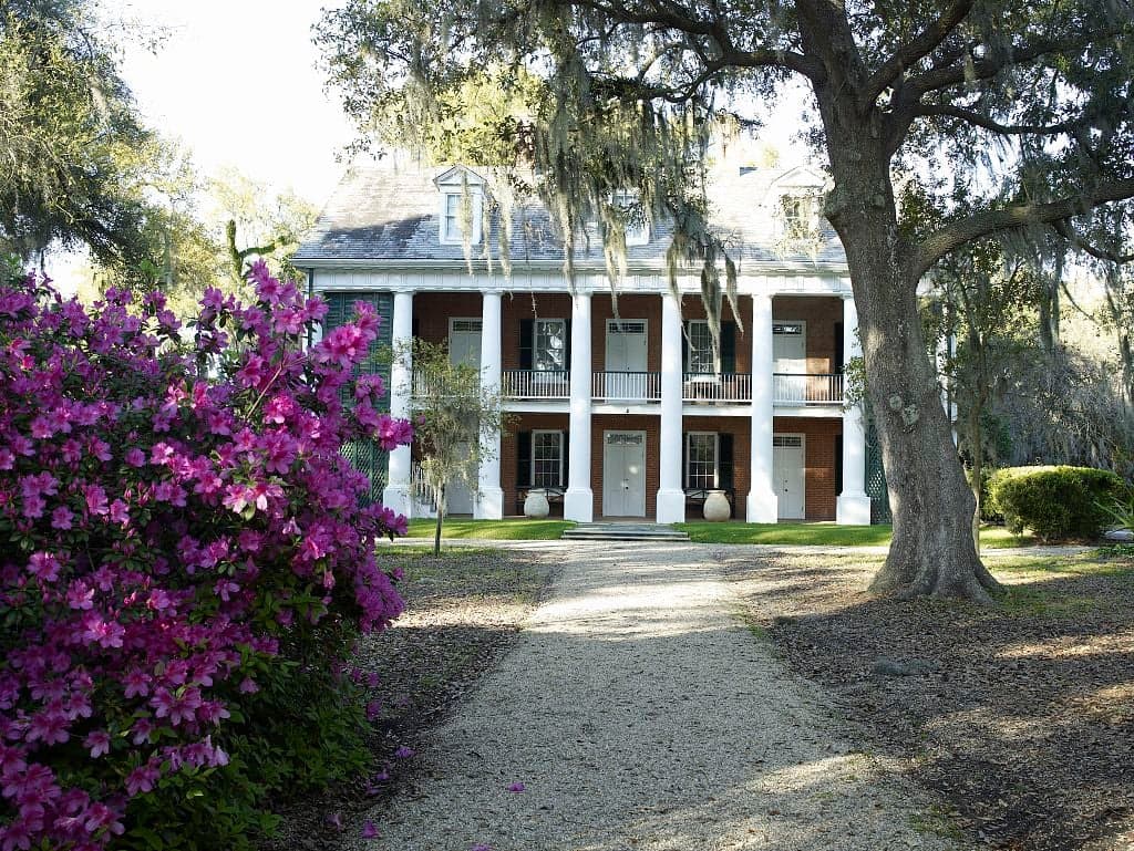
Photo: Wikipedia
Strategic Assessment of Iberia County
Meaningful friction. Expect exposure to either population pressure, blast zones, or natural disaster risk. Consider buying a retreat property.
What does the Strategic Assessment tell us?
Our Strategic Assessment grades tactical survivability of an area. Major population centers, military targets, fallout zones, natural disasters, and border exposure all drive risk — lower exposure means a more defensible position in a crisis.
This is heavily inspired by Joel Skousen's Strategic Relocation book. Highly recommended you checkout the book ($)What does this tell us?
Our Strategic Assessment grades tactical survivability of an area. Major population centers, military targets, fallout zones, natural disasters, and border exposure all drive risk — lower exposure means a more defensible position in a crisis.
This is heavily inspired by Joel Skousen's Strategic Relocation book. Highly recommended you checkout the book ($)Strategic Pillars

Key Distances
Strategic Assessment Analysis
Iberia Parish, Louisiana, offers a strategic relocation option for those prioritizing resilience and self-sufficiency, combining a semi-rural setting with access to critical infrastructure. Located in the heart of Acadiana, the parish provides a buffer from the most extreme fallout risks associated with major metropolitan targets while still being within a practical distance of essential services and supply chains. The area's resilience profile is shaped by its unique geography, industrial presence, and the practical realities of living in a region that regularly contends with natural forces.
Geographic position and natural advantages for strategic relocation
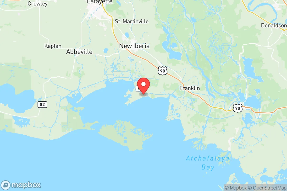
Iberia Parish sits roughly 30 miles inland from the Gulf of Mexico, placing it outside the most vulnerable coastal surge zones while still benefiting from the region's extensive water resources. The parish seat, New Iberia, anchors a network of smaller communities like Jeanerette and Loreauville that offer additional options for property acquisition. The area's position along the Bayou Teche provides natural water access and drainage, while the surrounding agricultural land—primarily sugarcane fields and crawfish farms—offers a degree of open space that aids both visibility and defensibility. The parish is roughly equidistant from Lafayette (20 miles north) and Baton Rouge (60 miles northeast), providing access to regional medical centers and supply hubs without being close enough to suffer direct effects from a major incident in either city. The flat terrain and numerous waterways create natural barriers to casual movement, which can be leveraged for perimeter awareness. The subtropical climate supports year-round growing seasons, a significant advantage for anyone serious about food self-sufficiency.
Risks, exposures, and proximity to fallout-relevant landmarks
The most significant risk factor for Iberia Parish is its industrial corridor along the Mississippi River, approximately 50 miles to the east. The region is home to numerous petrochemical facilities, including the ExxonMobil Baton Rouge Refinery and the Port of Baton Rouge, both of which could be considered high-value targets in a conflict scenario. Closer to home, the Port of Iberia and the surrounding oilfield service infrastructure represent secondary industrial targets, though their strategic value is lower than the major refinery complexes. The parish also sits within the Louisiana Offshore Oil Port (LOOP) network, which connects to deepwater Gulf infrastructure. Natural disaster exposure is the more immediate concern: the parish lies in a hurricane-prone zone, with the 2020 hurricane season demonstrating the region's vulnerability to both wind damage and freshwater flooding. The Atchafalaya Basin to the east provides some storm surge attenuation, but heavy rainfall events have caused significant flooding in low-lying areas of New Iberia and surrounding communities. The proximity to the Gulf Intracoastal Waterway also means barge traffic and associated industrial activity are constant features of the landscape.
Practical resilience for a relocator: food, water, energy, and defensibility
Iberia Parish offers strong practical resilience fundamentals for those willing to adapt to the local environment. The region's agricultural base means local food production is robust: sugarcane, rice, crawfish, and catfish are all produced within the parish, and farmers' markets in New Iberia and Jeanerette provide direct access to fresh goods. The Bayou Teche and numerous smaller waterways offer fishing and water access, though surface water requires treatment before consumption. Groundwater is available through wells in most rural areas, with the Chicot Aquifer providing reliable supply at moderate depths. Energy resilience is mixed: the parish is served by Cleco and SLEMCO for electricity, both of which have experienced storm-related outages lasting days to weeks. However, the prevalence of natural gas infrastructure in the region means propane and natural gas generators are practical options, and the local oilfield supply chain makes fuel availability more reliable than in purely rural areas. Defensibility is moderate: the flat, open agricultural terrain limits natural cover, but the network of bayous, canals, and drainage ditches creates natural chokepoints. The parish's population density of roughly 70 people per square mile provides enough neighbors for mutual support without creating the anonymity of suburban sprawl. The local culture of hunting, fishing, and outdoor self-sufficiency means many residents already possess practical skills that would be valuable in a prolonged disruption.
The overall strategic picture for Iberia Parish is one of calculated trade-offs. The area offers genuine advantages in food production, water access, and distance from primary strategic targets, but these come with real exposure to hurricane risk and the secondary effects of industrial infrastructure along the Gulf Coast. For a relocator who can invest in storm-hardened housing, establish a well and backup power, and integrate into the existing community of self-sufficient residents, the parish provides a viable long-term base. The key is to select property carefully—elevation matters, as does proximity to drainage—and to maintain awareness of the seasonal weather patterns that define life in this part of Louisiana. The parish is not a retreat from all risk, but it is a defensible position with the resources to sustain a household through most scenarios short of a direct hurricane strike or a major industrial incident upriver.

* Values derived from national, state, county, city and local statistics and may differ in a specific area. Last updated: 2026-07-04T01:47:37.000Z
Narrative content on this page is AI-generated and may contain mistakes. Verify any details that matter before acting on them.
ReloMaps may earn a commission from affiliate links at no extra cost to you.

