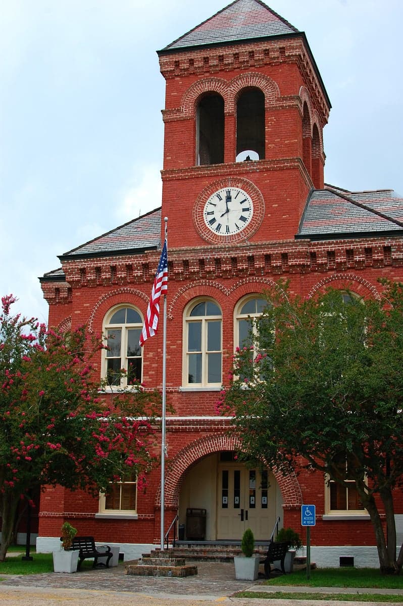
Photo: Wikipedia
Strategic Assessment of Ascension County
Workable tactical position. Some exposure to population density or targets, but generally defensible in a crisis.
What does the Strategic Assessment tell us?
Our Strategic Assessment grades tactical survivability of an area. Major population centers, military targets, fallout zones, natural disasters, and border exposure all drive risk — lower exposure means a more defensible position in a crisis.
This is heavily inspired by Joel Skousen's Strategic Relocation book. Highly recommended you checkout the book ($)What does this tell us?
Our Strategic Assessment grades tactical survivability of an area. Major population centers, military targets, fallout zones, natural disasters, and border exposure all drive risk — lower exposure means a more defensible position in a crisis.
This is heavily inspired by Joel Skousen's Strategic Relocation book. Highly recommended you checkout the book ($)Strategic Pillars

Key Distances
Strategic Assessment Analysis
Ascension County, Louisiana, offers a compelling mix of geographic resilience and practical self-sufficiency for those prioritizing disaster readiness. Located along the Mississippi River between Baton Rouge and New Orleans, the parish (county) benefits from a position that is close enough to major infrastructure for supply access but far enough from the densest urban cores to avoid the worst of a metropolitan collapse scenario. Its strategic value lies in a combination of natural barriers, industrial self-sufficiency, and a growing population that is already accustomed to preparing for seasonal disruptions.
Geographic position and natural advantages for self-sufficiency
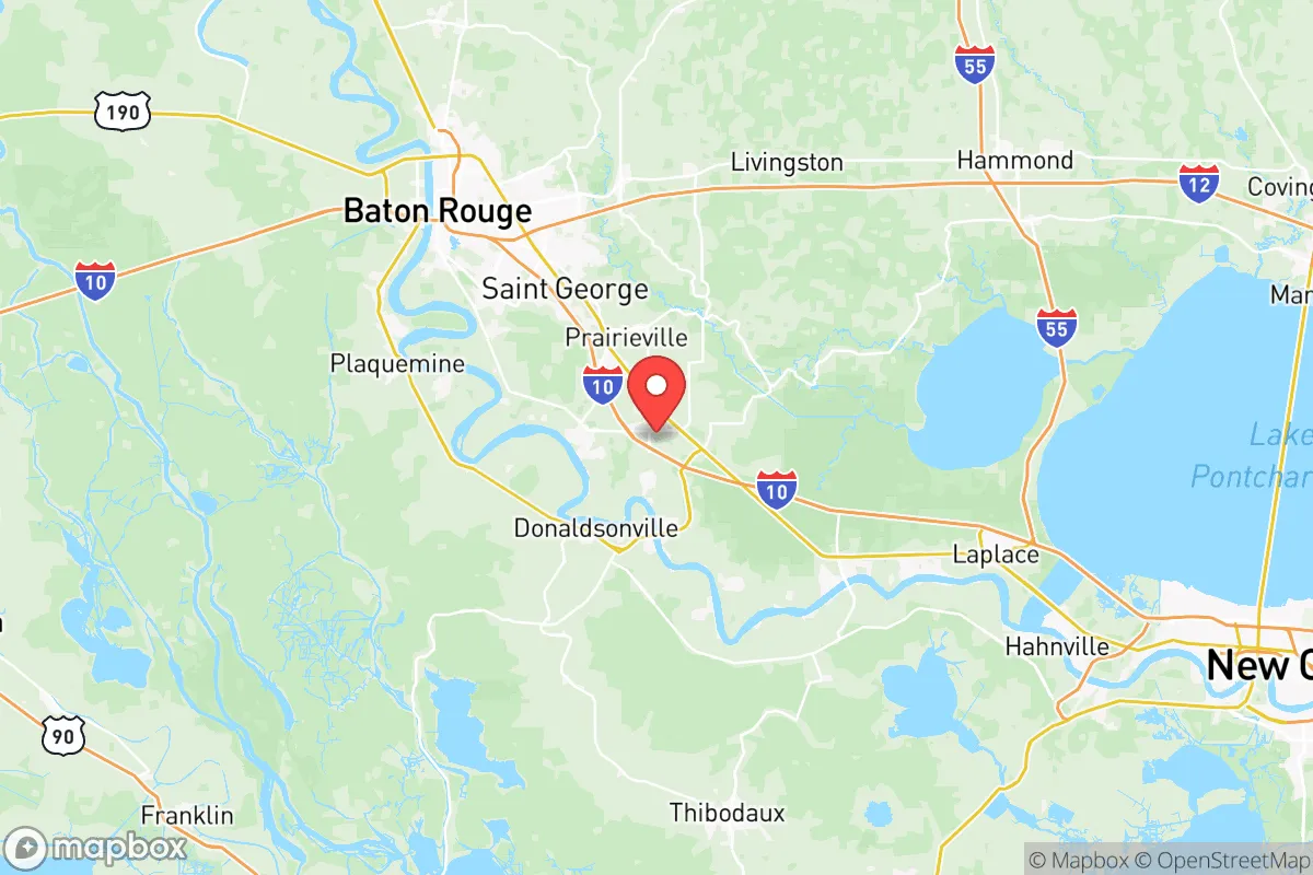
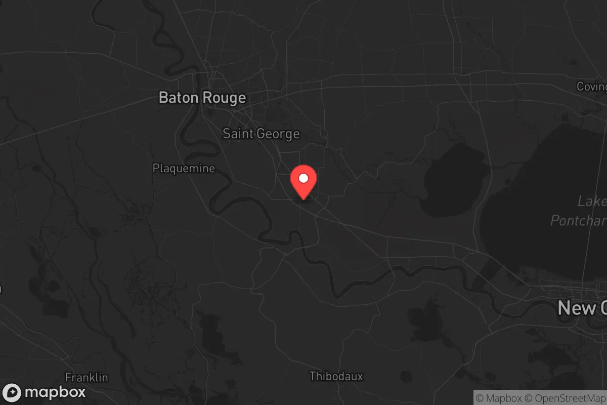
Ascension County sits on the east bank of the Mississippi River, roughly 20 miles southeast of Baton Rouge and 50 miles northwest of New Orleans. This places it outside the immediate blast or fallout zones of either city while still within a reasonable distance for trade or evacuation if needed. The parish is part of the Florida Parishes region, which historically has been a buffer between the Gulf Coast and the interior. The land is relatively flat but well-drained, with the Mississippi River providing a reliable water source and the surrounding swamps and bayous acting as natural barriers to overland movement. The area is not mountainous, but the dense cypress-tupelo swamps and the Amite River to the east offer defensible terrain for those who know it. The climate is humid subtropical, with a growing season of roughly 250 days, which supports year-round food production for those with the land and knowledge to cultivate it.
Risks, exposures, and proximity to fallout-relevant landmarks
The primary natural risk in Ascension County is hurricane storm surge and flooding, particularly from the Mississippi River and its tributaries. The parish has a levee system managed by the Pontchartrain Levee District, but the 2016 flood event demonstrated that even well-maintained levees can be overwhelmed by prolonged rainfall. The area is also within the 100-mile radius of the Louisiana Chemical Corridor, often called "Cancer Alley," which runs along the Mississippi between Baton Rouge and New Orleans. Ascension County is home to several major industrial facilities, including the ExxonMobil Baton Rouge Refinery (one of the largest in the U.S.) and the BASF chemical plant in Geismar. These are both potential targets for sabotage or accidental release, and their proximity means that any major disruption could produce toxic plumes or require evacuation. The parish also lies within 150 miles of Fort Johnson (formerly Fort Polk), a major Army installation, and within 200 miles of Naval Air Station Joint Reserve Base New Orleans. While these are not direct fallout risks, they are military assets that could become targets in a conflict scenario. The Mississippi River itself is a strategic chokepoint; a bridge or lock failure at Donaldsonville or Gonzales could sever east-west movement and isolate the parish.
Practical resilience for a relocator: food, water, energy, and defensibility
Ascension County has strong practical resilience for those willing to invest in preparation. The Mississippi River provides an essentially unlimited water source, though treatment is required. The parish's groundwater is generally good, but shallow wells in low-lying areas may be vulnerable to saltwater intrusion during storm surges. The area is served by Entergy Louisiana for electricity, with a grid that is frequently tested by hurricanes; many rural residents already own generators and maintain fuel reserves. Natural gas is widely available in the parish, and propane is common for rural homes. For food, the parish has a strong agricultural base, with sugarcane, soybeans, and cattle operations throughout the area. The Gonzales Farmers Market and local CSA networks provide fresh produce, and the proximity to the Gulf means seafood is accessible via the Port of Baton Rouge and smaller docks along the river. Defensibility is moderate: the parish is not easily isolated due to multiple highway routes (I-10, I-12, US 61), but the swampy terrain and limited bridge crossings create natural chokepoints. The population of roughly 130,000 is spread across several towns—Gonzales (the parish seat), Donaldsonville, Prairieville, and Geismar—which means no single point of failure. However, the parish is not remote; it is within a two-hour drive of New Orleans and Baton Rouge, meaning that any large-scale evacuation or civil disruption could bring urban refugees into the area.
Overall, Ascension County presents a balanced strategic picture for a relocator focused on resilience. Its natural advantages—reliable water, long growing season, and defensible terrain—are offset by its position within the industrial and military corridor of the lower Mississippi. The parish is not a bug-out location; it is a working, populated area with real infrastructure dependencies. For a family or individual willing to invest in water filtration, backup power, and a solid network of local contacts, Ascension offers a realistic middle ground between urban vulnerability and rural isolation. The key is to understand that resilience here is not about hiding but about being prepared to function within a community that already knows how to handle hurricanes, floods, and industrial incidents.

* Values derived from national, state, county, city and local statistics and may differ in a specific area. Last updated: 2026-06-16T21:05:59.000Z
Narrative content on this page is AI-generated and may contain mistakes. Verify any details that matter before acting on them.
ReloMaps may earn a commission from affiliate links at no extra cost to you.

