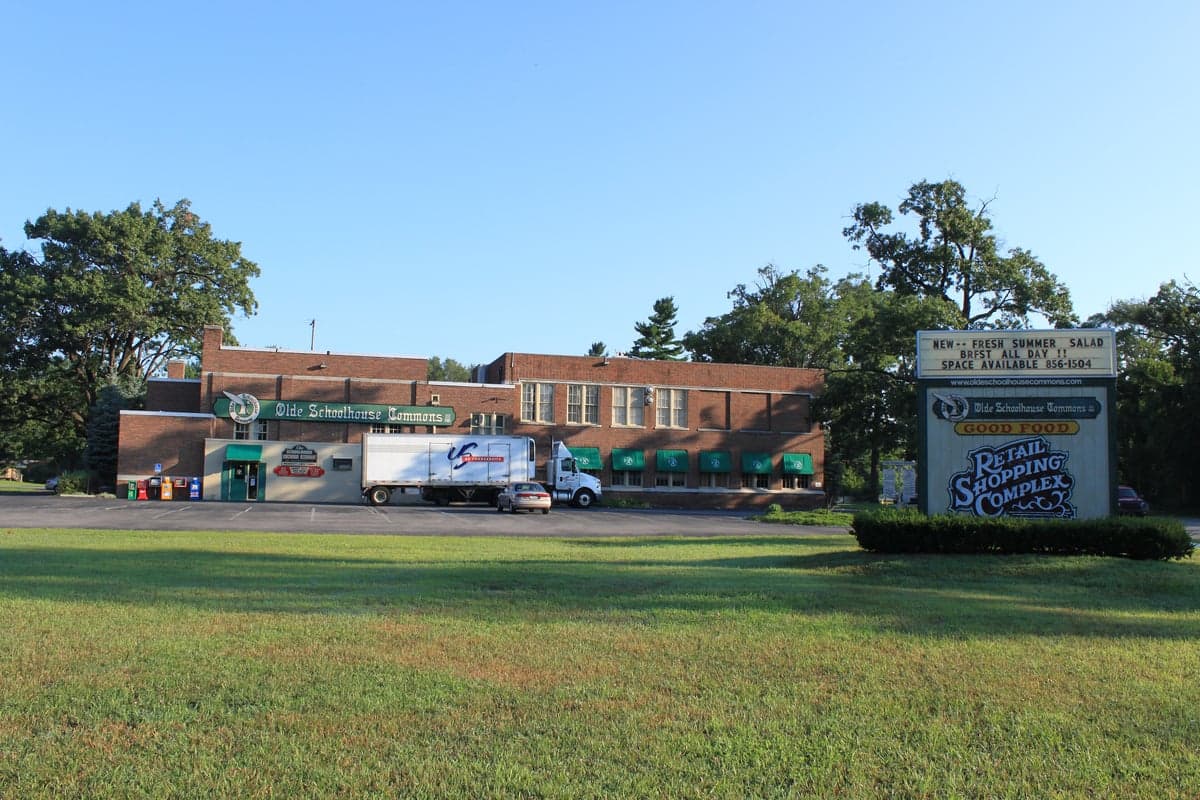
Photo: Wikipedia
Strategic Assessment of Lambertville, MI
Workable tactical position. Some exposure to population density or targets, but generally defensible in a crisis.
What does the Strategic Assessment tell us?
Our Strategic Assessment grades tactical survivability of an area. Major population centers, military targets, fallout zones, natural disasters, and border exposure all drive risk — lower exposure means a more defensible position in a crisis.
This is heavily inspired by Joel Skousen's Strategic Relocation book. Highly recommended you checkout the book ($)What does this tell us?
Our Strategic Assessment grades tactical survivability of an area. Major population centers, military targets, fallout zones, natural disasters, and border exposure all drive risk — lower exposure means a more defensible position in a crisis.
This is heavily inspired by Joel Skousen's Strategic Relocation book. Highly recommended you checkout the book ($)Strategic Pillars

Key Distances
Regional Safe Places
Below is our recommended "safe zones" in Michigan and the surrounding area based on our strategic heuristics. For most people, it's unrealistic to live in a “safe zone” full-time due to work, family or other personal reasons. They tend to be more rural. However, many of these areas are perfect for second homes and retreat properties that double as a vacation home or even a short-term rental.


Important Note: For informational purposes only. This does not mean nothing bad ever happens in the green zones. Please use common sense. This is based on public data and modeled with AI. We tried to take a conservative approach but mistakes happen. We update this regularly as new information becomes available.
Solar Generator Recommendations
Backup power matters more here than in safer locations. We've picked three solar generators across budgets and capacity tiers — start with the budget unit if you only need a few essentials, or step up if you want to run a fridge and HVAC for days at a time.

Jackery Portable Power Station Explorer 300
Budget OptionPower on the Go: Weighing only 11 lbs, it's convenient to set up and store with book-sized foldable solar panels

BLUETTI Portable Power Station AC180
Designed for both indoor and outdoor scenarios, AC180 is highly capable as it has a robost capacity and continuous output power.

EF ECOFLOW DELTA Pro Ultra Power Station
Upgraded PickEcoFlow DELTA Pro Ultra is a whole-home energy system designed to grow with your family. Integrated with the Smart Home Panel 2, it scales to meet your evolving energy needs — keeping your home powered, intelligent, and secure through every stage of life.
We earn a commission, at no additional cost to you.
Strategic Assessment Analysis
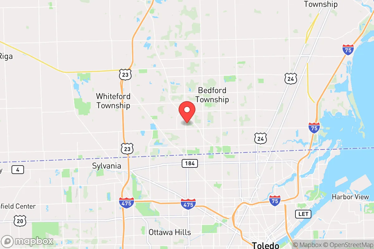
Lambertville, Michigan, offers a compelling mix of strategic depth and everyday practicality for the relocation-minded reader who prioritizes resilience and self-sufficiency. Situated in the far southeastern corner of Monroe County, this unincorporated community sits on the Ohio border, roughly 30 miles south of Ann Arbor and 40 miles southwest of Detroit, placing it within the outer ring of a major metropolitan area while retaining a distinctly rural, low-density character. Its position along the River Raisin and proximity to Lake Erie provide natural water resources, while its location away from major interstate corridors and high-value military or industrial targets gives it a meaningful defensive advantage for those thinking seriously about disaster readiness.
Geographic position and natural advantages for long-term stability
Lambertville’s primary geographic asset is its location in the Maumee River watershed, with the River Raisin running through the community and Lake Erie just 10 miles to the east. This places it in a region with abundant surface water, moderate climate, and fertile soils—historically part of the Great Black Swamp, now drained into some of the richest agricultural land in the Midwest. The area sits on the edge of the Michigan Basin, with relatively stable geology; there are no active fault lines, no significant seismic risk, and no history of major sinkholes or landslides. The terrain is flat to gently rolling, which simplifies construction, road maintenance, and off-grid water management. Winters are cold but not extreme (average January lows around 18°F), and summers are warm and humid, supporting a growing season of roughly 160 days—long enough for serious home food production. The community is surrounded by farmland, woodlots, and wetlands, providing natural buffers against urban sprawl and offering multiple options for hunting, foraging, and timber resources. For a relocator, the key advantage is that Lambertville is close enough to Toledo (just 15 minutes south) and Detroit (45 minutes north) for supply runs and employment, but far enough that a major metropolitan crisis—whether economic collapse, civil unrest, or a pandemic—would not immediately overwhelm the area. The population density is low, roughly 200 people per square mile in the surrounding township, which reduces disease transmission risk and competition for resources in a grid-down scenario.
Risks, exposures, and proximity to fallout-relevant landmarks
The most significant risk for Lambertville is its proximity to the Fermi 2 nuclear power plant, located just 12 miles east in Newport, Michigan, on the Lake Erie shore. Fermi 2 is a boiling water reactor that has experienced multiple safety incidents, including a 2012 transformer fire and a 2020 emergency shutdown due to a cooling system issue. While the plant is designed to withstand severe weather and has a robust containment structure, a major accident—whether from a natural disaster, sabotage, or grid failure—could produce a radioactive plume that, under prevailing westerly winds, would pass directly over Lambertville. The plant is within the 10-mile emergency planning zone, meaning residents would need to evacuate or shelter in place during a release. This is a serious consideration for anyone prioritizing long-term habitation. Additionally, the area is within 30 miles of the massive BP-Husky Toledo Refinery in Oregon, Ohio, a major petrochemical facility that processes 160,000 barrels of crude oil per day. A catastrophic fire or explosion at this facility could release toxic clouds and cause widespread air contamination. On the natural disaster front, the primary threat is severe weather: Lambertville lies in the heart of Tornado Alley’s northern extension, with Monroe County averaging 3-5 tornado touchdowns per decade. The 2010 EF2 tornado that struck nearby Luna Pier caused significant damage, and the 2023 EF1 tornado in Bedford Township (immediately north of Lambertville) downed trees and power lines. Flooding is a moderate risk along the River Raisin, particularly during spring thaws and heavy rain events, though most of the community sits on higher ground above the 100-year floodplain. For a relocator, the key takeaway is that Lambertville’s risks are manageable with proper planning—a basement or storm shelter for tornadoes, a well-stocked emergency kit for nuclear incidents, and a clear evacuation route south or west away from the plant and refinery.
Practical resilience for a relocator: food, water, energy, and defensibility
Lambertville’s practical resilience is strong for a suburban-rural hybrid area. The water situation is excellent: the River Raisin provides a reliable surface water source, and the underlying Marshall Sandstone aquifer yields high-quality groundwater at depths of 50-150 feet. Most homes in the area are on municipal water from the City of Toledo or Monroe County, but private wells are common in the outlying areas, and drilling a new well is straightforward and relatively affordable (typically $5,000-$10,000). For off-grid water, the river is accessible at several public access points, and rainwater harvesting is feasible with average annual precipitation of 33 inches. Food resilience is equally strong. The surrounding farmland produces corn, soybeans, wheat, and hay, and there are numerous small farms selling directly to consumers—check the Lambertville Farmers Market (May-October) or local operations like Ruhlman Farms and the Bedford Community Garden. The growing season supports a wide variety of vegetables, and the area’s many woodlots provide acorns, hickory nuts, and wild mushrooms. Hunting is popular: deer, turkey, and small game are abundant in the state game areas to the west (Erie State Game Area, 10 miles away), and Lake Erie offers excellent fishing for walleye, perch, and bass. For energy resilience, the grid is relatively stable but aging; power outages from storms are common, typically lasting 2-6 hours but occasionally extending to 2-3 days after major ice storms or derechos. Solar potential is moderate—the area receives about 4.2 peak sun hours per day, enough for a well-sized off-grid system with battery storage. Natural gas is widely available, and propane is a common backup for heating and cooking. Defensibility is a mixed picture. Lambertville is not a fortress—it’s a typical Midwestern bedroom community with a mix of subdivisions, farmhouses, and strip malls along Lewis Avenue (the main drag). However, the low population density, the abundance of rural roads and dead ends, and the presence of natural barriers (the river, wetlands, and agricultural fields) make it relatively easy to secure a small homestead or neighborhood. The nearest police station is the Bedford Township Police Department (2 miles away), and the Monroe County Sheriff’s Office provides backup, but response times in the outer areas can be 15-30 minutes. For a relocator, the practical recommendation is to buy a property with a well, a septic system, and at least 5-10 acres of land, ideally with a woodlot and river frontage. This setup provides water, waste management, heating fuel, and a defensible perimeter.
The overall strategic picture for Lambertville is that of a solid B+ location for the resilience-minded relocator. It offers genuine advantages—abundant water, fertile soil, low population density, and proximity to major supply hubs—without the extreme isolation or harsh climate of more remote options. The nuclear and refinery risks are real but manageable with situational awareness and a good emergency plan. The area’s political and cultural climate leans conservative, with Monroe County voting +18 for Trump in 2024, which aligns with the audience’s likely values around self-reliance, property rights, and community cohesion. The housing market is affordable relative to the rest of Southeast Michigan, with median home prices around $250,000 as of 2026, and property taxes are moderate (roughly 1.5% of assessed value). For a single individual or family looking to establish a resilient base within striking distance of urban resources, Lambertville is a pragmatic choice—not a bug-out paradise, but a livable, defensible, and resource-rich community that can weather most disruptions without requiring a complete lifestyle overhaul. The key is to buy with eyes open, prepare for the specific risks, and build relationships with the local farming and hunting community. Done right, Lambertville can serve as a stable, long-term home base for decades to come.

* Values derived from national, state, county, city and local statistics and may differ in a specific area. Last updated: 2026-10-04T06:09:34.000Z
Narrative content on this page is AI-generated and may contain mistakes. Verify any details that matter before acting on them.
ReloMaps may earn a commission from affiliate links at no extra cost to you.

