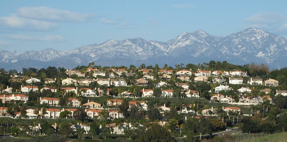
Photo: Wikipedia
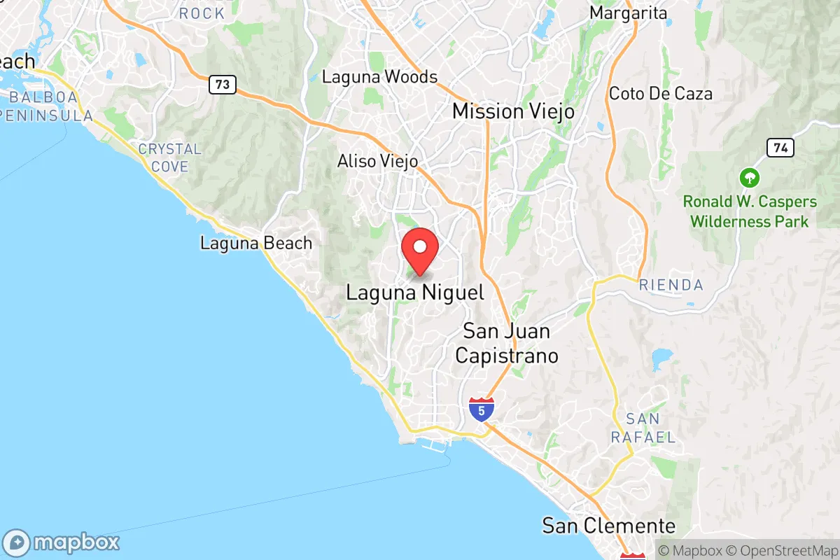
Strategic Assessment of Laguna Niguel, CA
Multiple tactical vulnerabilities. Population density, target proximity, or disaster risk are likely compounding. A retreat property and exit planning is required.
What does the Strategic Assessment tell us?
Our Strategic Assessment grades tactical survivability of an area. Major population centers, military targets, fallout zones, natural disasters, and border exposure all drive risk — lower exposure means a more defensible position in a crisis.
This is heavily inspired by Joel Skousen's Strategic Relocation book. Highly recommended you checkout the book ($)What does this tell us?
Our Strategic Assessment grades tactical survivability of an area. Major population centers, military targets, fallout zones, natural disasters, and border exposure all drive risk — lower exposure means a more defensible position in a crisis.
This is heavily inspired by Joel Skousen's Strategic Relocation book. Highly recommended you checkout the book ($)Strategic Pillars

Key Distances
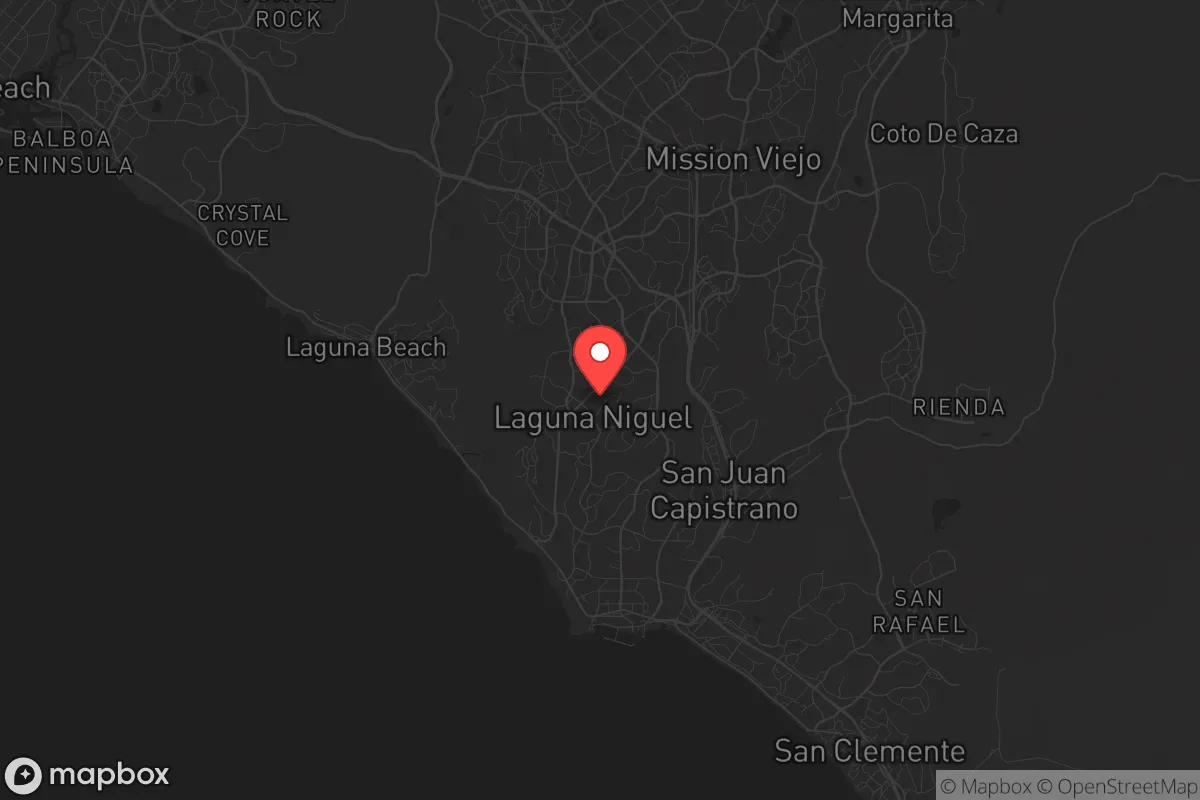
Regional Safe Places
Below is our recommended "safe zones" in California and the surrounding area based on our strategic heuristics. For most people, it's unrealistic to live in a “safe zone” full-time due to work, family or other personal reasons. They tend to be more rural. However, many of these areas are perfect for second homes and retreat properties that double as a vacation home or even a short-term rental.


Important Note: For informational purposes only. This does not mean nothing bad ever happens in the green zones. Please use common sense. This is based on public data and modeled with AI. We tried to take a conservative approach but mistakes happen. We update this regularly as new information becomes available.
Solar Generator Recommendations
Backup power matters more here than in safer locations. We've picked three solar generators across budgets and capacity tiers — start with the budget unit if you only need a few essentials, or step up if you want to run a fridge and HVAC for days at a time.

Jackery Portable Power Station Explorer 300
Budget OptionPower on the Go: Weighing only 11 lbs, it's convenient to set up and store with book-sized foldable solar panels

BLUETTI Portable Power Station AC180
Designed for both indoor and outdoor scenarios, AC180 is highly capable as it has a robost capacity and continuous output power.

EF ECOFLOW DELTA Pro Ultra Power Station
Upgraded PickEcoFlow DELTA Pro Ultra is a whole-home energy system designed to grow with your family. Integrated with the Smart Home Panel 2, it scales to meet your evolving energy needs — keeping your home powered, intelligent, and secure through every stage of life.
We earn a commission, at no additional cost to you.
Strategic Assessment Analysis
Laguna Niguel occupies a strategic position in Orange County that offers a blend of coastal proximity and inland defensibility, making it a location worth serious consideration for those prioritizing disaster readiness and self-sufficiency. The city sits atop a series of coastal terraces and canyons, roughly 2,000 feet above sea level in its highest points, providing natural elevation advantages over lower-lying areas like Laguna Beach or Dana Point. Its location along the San Diego Freeway (I-5) and the 73 Toll Road gives residents access to both the coast and inland corridors, but this connectivity also introduces exposure to the vulnerabilities of a densely populated Southern California region. For a relocator weighing resilience, Laguna Niguel offers a mixed picture: strong natural defenses against some threats, but significant exposure to others tied directly to its proximity to major urban and military infrastructure.
Geographic position and natural advantages for disaster readiness
Laguna Niguel’s geography is defined by its position on the San Joaquin Hills, a low mountain range that separates the coastal plain from the inland valleys. This elevation provides a natural buffer against tsunami risk—the city’s lowest points sit at roughly 200 feet above sea level, well above any credible inundation zone from a Pacific seismic event. The hills also create microclimates that moderate temperatures, reducing extreme heat risks compared to inland cities like Lake Forest or Mission Viejo. The area’s underlying geology is primarily sedimentary rock and sandstone, which offers decent drainage and reduces liquefaction potential during earthquakes, though the steep canyon slopes in parts of the city (notably Aliso and Wood Canyons) are prone to landslides after heavy rain. For a self-sufficiency mindset, the natural terrain provides multiple egress routes: the 73 Toll Road runs north-south along the ridgeline, while Crown Valley Parkway and Pacific Coast Highway offer alternative paths to the coast or inland. However, these routes are choke points during emergencies—the 73 is a toll road with limited entry points, and Pacific Coast Highway can be blocked by landslides or flooding near the Dana Point headlands. The city’s position also places it within a 15-minute drive of the ocean, which is a double-edged sword: it provides a potential water source and fishing access, but also puts residents in the path of coastal fog and marine layer that can complicate solar energy generation during winter months.
Risks, exposures, and proximity to fallout-relevant landmarks
The most significant strategic vulnerability for Laguna Niguel is its proximity to high-value military and infrastructure targets. The city lies roughly 12 miles southeast of Marine Corps Base Camp Pendleton, a major active-duty installation that includes the School of Infantry, logistics hubs, and a helicopter base. In a conflict scenario, Camp Pendleton is a plausible target for conventional or asymmetric attack, and Laguna Niguel sits directly in the fallout path of prevailing onshore winds that would carry debris or contamination northward. Additionally, the San Onofre Nuclear Generating Station (SONGS), though decommissioned, is located just 10 miles south along the coast. While the reactors are defueled and in safe storage, the site still contains spent fuel in dry cask storage, and a catastrophic event—whether natural or man-made—could release radioactive material. The prevailing wind patterns from the south-southwest would push any airborne contamination directly over Laguna Niguel and into central Orange County. The city is also within 20 miles of John Wayne Airport (SNA) and Los Alamitos Joint Forces Training Base, both of which could become focal points for military or emergency response operations, drawing unwanted attention. On the natural disaster front, the primary risks are wildfires and earthquakes. The 1993 Laguna Beach fire and the 2020 Silverado Fire both came within a few miles of the city, and the Aliso Canyon area has a history of brush fires that can spread rapidly through the canyons. The San Joaquin Hills are underlain by the Newport-Inglewood Fault zone, which can produce magnitude 6.5-7.0 earthquakes, and the city’s older housing stock (built largely in the 1970s and 1980s) may not meet modern seismic retrofit standards. Flooding is a lesser risk due to the elevation, but the canyon bottoms can experience flash flooding during atmospheric river events, as seen in 2023 when parts of Crown Valley Parkway were temporarily closed.
Practical resilience for a relocator: food, water, energy, and defensibility
For a relocator focused on self-sufficiency, Laguna Niguel presents a challenging environment. The city is almost entirely suburban residential, with no significant agricultural land within its borders. The nearest farmers’ markets are in Laguna Beach and Dana Point, but these are supply-chain dependent and would likely be disrupted in a prolonged emergency. The local water supply comes from the Metropolitan Water District of Southern California, which imports water from the Colorado River and the State Water Project—both of which are vulnerable to drought, earthquake damage to aqueducts, and political disputes. The city does have several large reservoirs nearby, including Upper and Lower Aliso Creek reservoirs, but these are primarily for flood control and recreational use, not potable water storage. Residents would need to rely on rainwater catchment or private wells, though well water in the area is often brackish due to the coastal aquifer. Energy infrastructure is similarly centralized: Southern California Edison provides electricity via overhead lines that are vulnerable to wind and fire damage. The 73 Toll Road and I-5 corridors are the primary evacuation routes, but both are prone to congestion during emergencies—the 2020 Silverado Fire evacuation of nearby Irvine showed that major freeways can become parking lots. Defensibility is a mixed bag: the city’s layout of winding canyon roads and cul-de-sacs makes it difficult for outsiders to navigate, but also limits egress for residents. The Aliso and Wood Canyons Wilderness Park provides a natural buffer to the south, but also offers cover for anyone approaching on foot. The local police force (Orange County Sheriff’s Department contract) is well-funded and responsive, but in a widespread disaster, response times would lengthen significantly. For a family or individual serious about preparedness, Laguna Niguel requires a proactive approach: storing at least two weeks of water and non-perishable food, investing in solar panels with battery backup (the area gets 280+ sunny days per year), and having a detailed evacuation plan that accounts for multiple route failures. The city’s Homeowners Associations (HOAs) are prevalent and often restrict visible preparedness measures like rainwater barrels or large storage sheds, so potential relocators should verify HOA rules before purchasing.
Overall, Laguna Niguel offers a strategic position that balances natural elevation and coastal access against significant exposure to military and infrastructure targets. Its resilience profile is average for coastal Southern California—better than low-lying areas like Newport Beach or Huntington Beach in terms of tsunami and flood risk, but worse than inland mountain communities like Idyllwild or Julian in terms of defensibility and self-sufficiency. For a relocator who values proximity to employment centers and coastal amenities but is willing to invest in robust home preparedness and maintain a low profile, Laguna Niguel can work. However, for those whose primary concern is long-term survival in a grid-down or conflict scenario, the city’s location near Camp Pendleton, SONGS, and major transportation corridors introduces risks that cannot be mitigated by personal preparedness alone. The smartest approach for a conservative-leaning family would be to treat Laguna Niguel as a base of operations with a secondary retreat property farther inland, rather than a standalone survival location.
* Values derived from national, state, county, city and local statistics and may differ in a specific area. Last updated: 2026-06-08T04:43:35.000Z
Narrative content on this page is AI-generated and may contain mistakes. Verify any details that matter before acting on them.
ReloMaps may earn a commission from affiliate links at no extra cost to you.