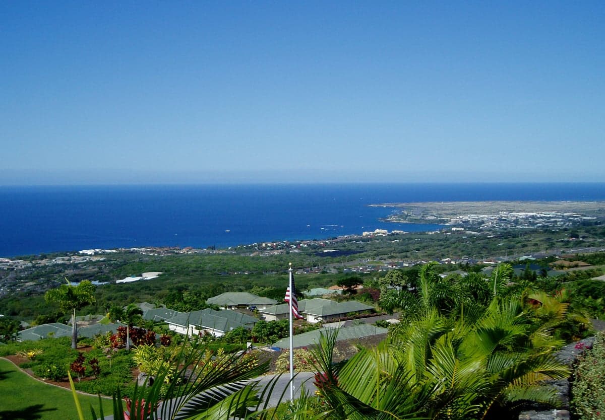
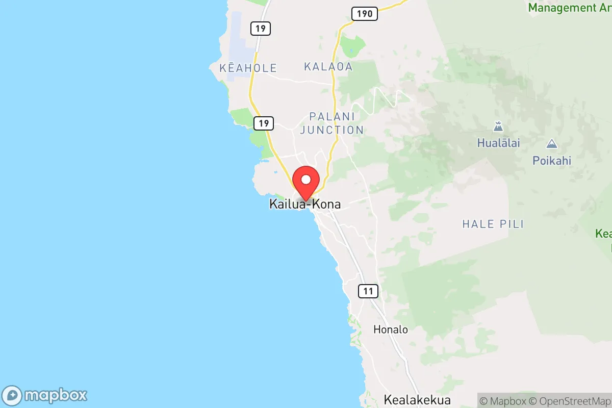
Photo: Wikipedia
Strategic Assessment of Kona, HI
Workable tactical position. Some exposure to population density or targets, but generally defensible in a crisis.
What does the Strategic Assessment tell us?
Our Strategic Assessment grades tactical survivability of an area. Major population centers, military targets, fallout zones, natural disasters, and border exposure all drive risk — lower exposure means a more defensible position in a crisis.
This is heavily inspired by Joel Skousen's Strategic Relocation book. Highly recommended you checkout the book ($)What does this tell us?
Our Strategic Assessment grades tactical survivability of an area. Major population centers, military targets, fallout zones, natural disasters, and border exposure all drive risk — lower exposure means a more defensible position in a crisis.
This is heavily inspired by Joel Skousen's Strategic Relocation book. Highly recommended you checkout the book ($)Strategic Pillars

Key Distances
Regional Safe Places
Below is our recommended "safe zones" in Hawaii and the surrounding area based on our strategic heuristics. For most people, it's unrealistic to live in a “safe zone” full-time due to work, family or other personal reasons. They tend to be more rural. However, many of these areas are perfect for second homes and retreat properties that double as a vacation home or even a short-term rental.

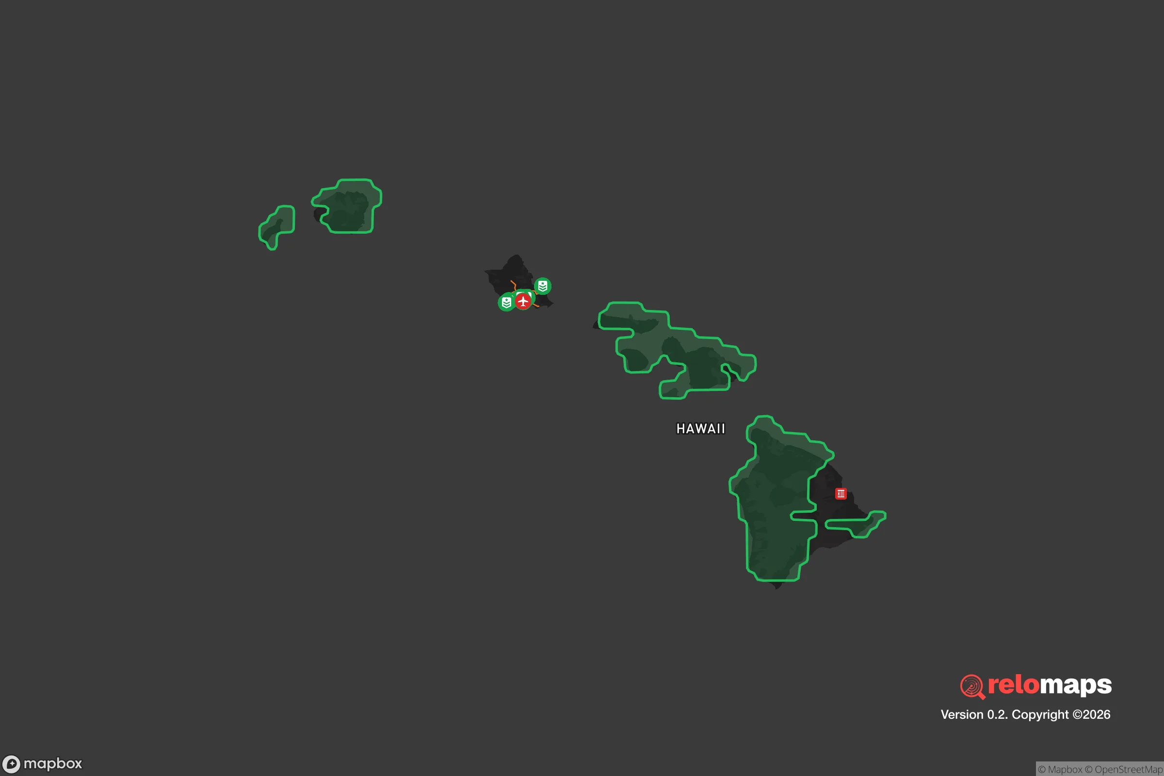


Important Note: For informational purposes only. This does not mean nothing bad ever happens in the green zones. Please use common sense. This is based on public data and modeled with AI. We tried to take a conservative approach but mistakes happen. We update this regularly as new information becomes available.
Solar Generator Recommendations
Backup power matters more here than in safer locations. We've picked three solar generators across budgets and capacity tiers — start with the budget unit if you only need a few essentials, or step up if you want to run a fridge and HVAC for days at a time.

Jackery Portable Power Station Explorer 300
Budget OptionPower on the Go: Weighing only 11 lbs, it's convenient to set up and store with book-sized foldable solar panels

BLUETTI Portable Power Station AC180
Designed for both indoor and outdoor scenarios, AC180 is highly capable as it has a robost capacity and continuous output power.

EF ECOFLOW DELTA Pro Ultra Power Station
Upgraded PickEcoFlow DELTA Pro Ultra is a whole-home energy system designed to grow with your family. Integrated with the Smart Home Panel 2, it scales to meet your evolving energy needs — keeping your home powered, intelligent, and secure through every stage of life.
We earn a commission, at no additional cost to you.
Strategic Assessment Analysis
Kona, on the western coast of the Big Island of Hawaii, presents a unique strategic profile for a relocator prioritizing resilience and self-sufficiency. Its primary advantage is extreme geographic isolation, placing it thousands of miles from continental power grids, major population centers, and the fallout risks associated with mainland targets. However, this isolation cuts both ways, creating a distinct set of vulnerabilities tied to volcanic activity, supply chain dependence, and limited egress options that any serious preparedness-minded individual must weigh.
Geographic position and natural advantages for long-term stability
Kona’s location on the leeward side of the Big Island offers a genuine natural buffer against many common mainland threats. The area is not subject to hurricanes with the same frequency or intensity as the windward side, and its volcanic terrain sits on the western slope of Hualālai and Mauna Loa, which are monitored continuously by the Hawaiian Volcano Observatory. The elevation gradient from sea level to 2,000 feet provides a range of microclimates, allowing for diversified small-scale agriculture that is less vulnerable to a single weather event. The deep-water port at Kawaihae, roughly 30 miles north of Kailua-Kona, is a critical asset for receiving bulk goods, but it also means the area is a logistical chokepoint. For a relocator, the key natural advantage is the consistent trade winds that moderate temperatures year-round, reducing reliance on air conditioning, and the presence of multiple perennial streams in the upland districts (like those feeding the Kona coffee belt) that can be tapped for off-grid water systems. The island’s volcanic basalt also provides excellent natural filtration for rainwater catchment, which is already a standard practice for many residents outside the municipal water grid.
Risks, exposures, and proximity to fallout-relevant landmarks
The most significant risk in Kona is not man-made but geological. The area sits in the shadow of active volcanoes: Mauna Loa erupted in 2022, sending lava flows toward the Daniel K. Inouye Highway (Saddle Road), which is the only direct route between Kona and Hilo. A major eruption that cuts this road would effectively isolate the west side of the island for weeks. Additionally, the Kona coast is susceptible to tsunamis generated by distant earthquakes, with the 2011 Tohoku event causing $30 million in damage to Kailua Pier and harbor facilities. From a man-made risk perspective, Kona’s distance from major strategic targets is a net positive. There are no nuclear power plants, major military command centers, or large industrial chemical facilities on the Big Island. The nearest plausible fallout-relevant landmark is Pearl Harbor and Joint Base Pearl Harbor-Hickam on Oahu, roughly 160 miles northwest. While this is far enough to avoid direct blast effects, prevailing trade winds blow from east to west, meaning any airborne fallout from a strike on Oahu would be carried away from the Big Island, not toward it. The more immediate man-made risk is the vulnerability of the single port and single airport (Ellison Onizuka Kona International Airport at Keāhole) to disruption from a natural disaster or a targeted cyberattack on the state’s fuel supply chain, which is almost entirely shipped in from the mainland.
Practical resilience for a relocator: food, water, energy, and defensibility
For a relocator serious about self-sufficiency, Kona offers a mixed but workable picture. Food resilience is above average for a U.S. location. The region supports a robust network of small farms, farmers’ markets, and community-supported agriculture (CSA) operations, with staples like taro, sweet potato, breadfruit, and citrus growing year-round. The ocean provides a reliable protein source, though fishing pressure is high and access to boats is a barrier. The main challenge is that roughly 85% of all food consumed in Hawaii is imported, so a disruption to shipping would hit grocery stores within two weeks. A relocator should plan for a minimum six-month food storage capability and develop relationships with local growers immediately. Water resilience is more straightforward: rainwater catchment is legal, common, and well-understood. A typical 10,000-gallon tank paired with a 2,000-square-foot roof can supply a family of four for several months, provided filtration and UV treatment are in place. The county also maintains a network of public catchment fill stations for emergencies. Energy resilience is a weak point. Hawaii has the highest electricity costs in the nation, around $0.40 per kWh, and the grid is vulnerable to volcanic ash, storms, and fuel supply interruptions. Solar photovoltaic systems are widespread, but net metering rules have tightened, and battery storage is essential for true off-grid capability. The volcanic terrain makes underground utilities expensive, so many rural areas rely on overhead lines that are prone to wind damage. Defensibility is a double-edged sword. The island’s isolation and single road network (the Queen Kaʻahumanu Highway, or Highway 19) create a natural bottleneck that could be controlled, but also means that a determined group could block access to the port or airport. The population density is low—roughly 50 people per square mile in the Kona district—which reduces competition for resources in a crisis, but also means that mutual aid networks are thin. The terrain itself, with its lava fields and steep slopes, provides natural chokepoints and observation points, but offers little concealment for a retreat.
The overall strategic picture for Kona is one of high natural resilience offset by extreme logistical fragility. For a relocator who can invest in rainwater catchment, solar-plus-battery systems, and a deep pantry, the area offers a genuinely defensible and self-sufficient lifestyle that is far removed from the risks of mainland urban centers. The trade-off is that you are betting on the stability of a single port, a single airport, and a single highway. If those hold, Kona is one of the most secure places in the United States. If they fail, you are on an island with no quick exit. The prudent approach is to treat Kona not as a retreat from all risk, but as a location where the risks are known, manageable, and largely natural—which, for a prepared individual, is often preferable to the unpredictable and cascading risks of a densely populated mainland target zone.

* Values derived from national, state, county, city and local statistics and may differ in a specific area. Last updated: 2026-07-29T03:58:55.000Z
Narrative content on this page is AI-generated and may contain mistakes. Verify any details that matter before acting on them.
ReloMaps may earn a commission from affiliate links at no extra cost to you.

