
Photo: Wikipedia
Strategic Assessment of Taylor County
Workable tactical position. Some exposure to population density or targets, but generally defensible in a crisis.
What does the Strategic Assessment tell us?
Our Strategic Assessment grades tactical survivability of an area. Major population centers, military targets, fallout zones, natural disasters, and border exposure all drive risk — lower exposure means a more defensible position in a crisis.
This is heavily inspired by Joel Skousen's Strategic Relocation book. Highly recommended you checkout the book ($)What does this tell us?
Our Strategic Assessment grades tactical survivability of an area. Major population centers, military targets, fallout zones, natural disasters, and border exposure all drive risk — lower exposure means a more defensible position in a crisis.
This is heavily inspired by Joel Skousen's Strategic Relocation book. Highly recommended you checkout the book ($)Strategic Pillars

Key Distances
Strategic Assessment Analysis
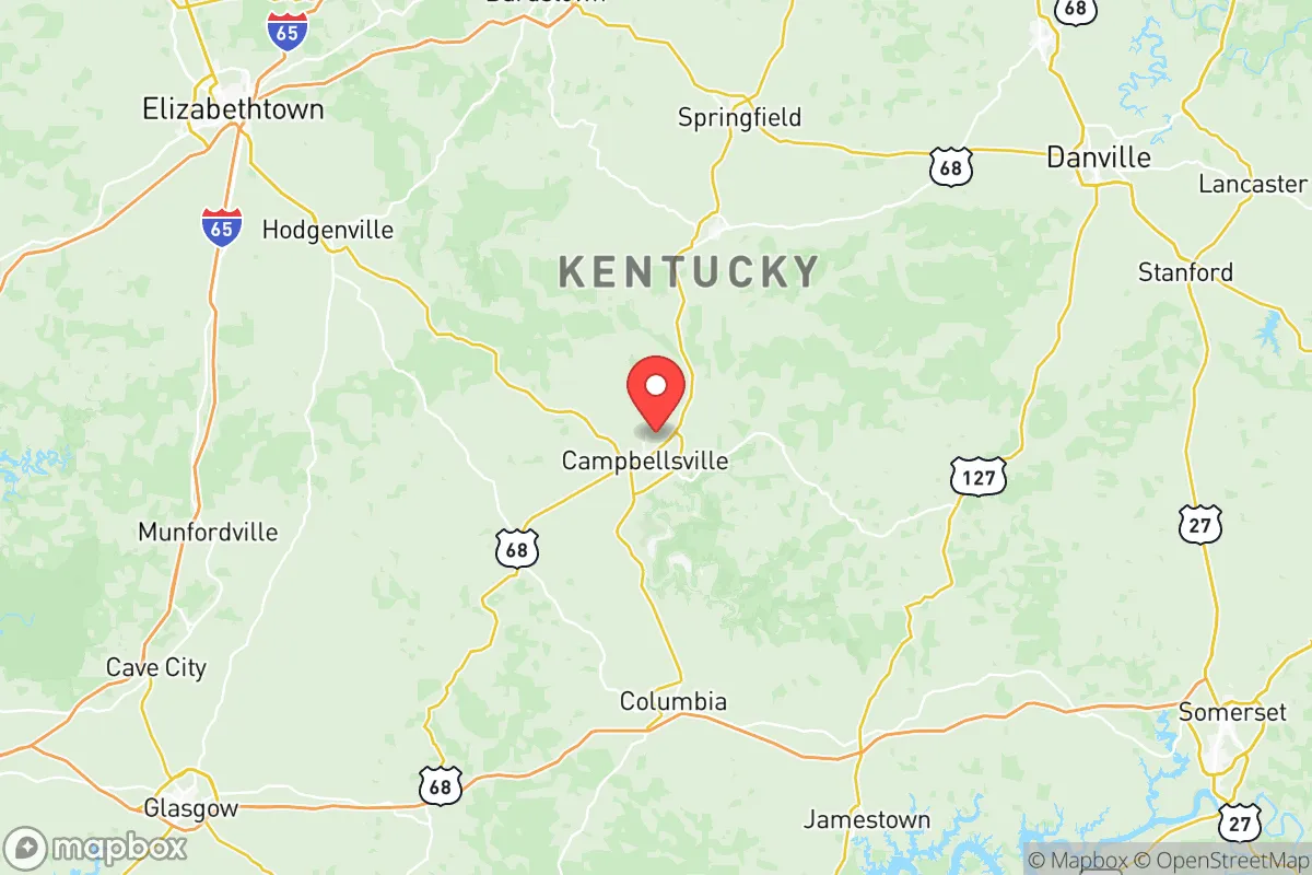
Taylor County, Kentucky, anchored by the city of Campbellsville, presents a compelling strategic profile for relocators prioritizing resilience and self-sufficiency, balancing a central geographic position with moderate exposure to both natural and man-made risks. The county's location along the western edge of the Knobs region and the eastern edge of the Pennyrile Plateau offers a mix of rolling hills, hardwood forests, and reliable water sources, providing a natural buffer against the more extreme weather patterns found further west or south. For those assessing long-term stability, Taylor County’s distance from major metropolitan targets like Louisville (roughly 85 miles north) and Nashville (about 100 miles southwest) reduces its attractiveness as a fallout-relevant landmark, while still offering access to regional supply chains and healthcare via the Campbellsville Bypass and the Louie B. Nunn Cumberland Parkway.
Geographic position and natural advantages for long-term stability
Taylor County sits in a transitional zone that offers a genuine blend of defensible terrain and arable land, a combination increasingly rare in the eastern United States. The area is drained by the Green River and its tributaries, including the Little Barren River, which provide both a natural water source and a degree of floodplain agriculture potential. The county’s rolling hills, with elevations ranging from roughly 600 to 900 feet, offer numerous building sites with natural drainage and vantage points, while the underlying karst limestone geology means groundwater is generally accessible via wells, though depth and yield vary. The local climate is humid subtropical, with average annual rainfall around 50 inches, supporting year-round gardening and livestock forage without the drought risks common to the western Plains. The presence of Green River Lake State Park and the adjacent 8,200-acre Green River Lake, managed by the U.S. Army Corps of Engineers, provides a significant recreational and emergency water reserve, though the dam itself represents a potential infrastructure vulnerability. For a relocator, the ability to tap into this watershed, combined with the county’s relatively low population density (roughly 25,000 residents across 700 square miles), means that competition for natural resources in a crisis scenario would be less intense than in suburban Louisville or Lexington.
Risks, exposures, and proximity to fallout-relevant landmarks
While Taylor County avoids the direct blast and fallout zones of major strategic targets, it is not without exposure to man-made and natural hazards that a serious preparedness-minded relocator must weigh. The most significant nearby fallout-relevant landmark is Fort Knox, located roughly 45 miles north-northwest in Hardin County, which houses the U.S. Army Armor Center, the U.S. Bullion Depository, and substantial ammunition and equipment storage. In a major conflict scenario, Fort Knox would be a high-priority target, and prevailing winds from the southwest could carry fallout toward Taylor County depending on the season. Additionally, the Blue Grass Army Depot in Madison County, about 70 miles northeast, stores chemical munitions and conventional explosives, representing another potential contamination source. On the natural hazard side, the region is in a moderate seismic zone, with the New Madrid Seismic Zone roughly 200 miles west; a major quake there could disrupt the Green River Dam or cause liquefaction in low-lying areas along the river. Tornado risk is real but not extreme—Taylor County averages 10-15 tornado warnings per year, with the most recent significant event being an EF-2 tornado that struck Campbellsville in March 2021, damaging homes and the local industrial park. Flooding along the Green River and its tributaries is a periodic concern, particularly in the low-lying areas near the county seat, but the majority of developable land sits above the 100-year floodplain. For a relocator, the key takeaway is that Taylor County is not a zero-risk location, but its risks are manageable with proper site selection—avoiding flood zones, building with storm shelters, and maintaining a fallout shelter if within 50 miles of Fort Knox.
Practical resilience for a relocator: food, water, energy, and defensibility
Taylor County offers a strong foundation for practical self-sufficiency, particularly in food production and water access, though energy independence requires deliberate investment. The county’s agricultural heritage is evident in its working farms, which produce tobacco, corn, soybeans, and cattle, and the local Campbellsville Farmers Market provides a seasonal outlet for fresh produce. For a relocator, the ability to purchase small acreage (5-20 acres) at prices significantly below the national median—typically $4,000-$8,000 per acre as of 2025—makes market gardening or hobby farming financially feasible. Water access is generally good, with the Green River and its tributaries offering surface water, while the Kentucky Division of Water reports that most of Taylor County sits atop the Mississippian aquifer, which yields adequate domestic well water at depths of 100-300 feet. However, well drilling costs ($30-$50 per foot) and the potential for iron or sulfur contamination mean that water testing and treatment should be part of any property purchase. Energy resilience is a mixed picture: the local utility, Taylor County Rural Electric Cooperative Corporation, provides grid power with moderate reliability, but outages during thunderstorms or ice storms can last 12-48 hours. Solar potential is decent, with roughly 4.5 peak sun hours per day, and the county’s zoning code does not prohibit residential solar panels or backup generators, though there are no specific incentives. For defensibility, the terrain offers natural choke points along the many creek valleys and ridgelines, and the county’s low crime rate (violent crime roughly 60% below the national average per 2023 FBI data) means that a well-prepared household can focus on perimeter security rather than urban-style fortification. The presence of the Campbellsville University campus and the Taylor County Regional Airport (KBRT) provides potential community resources and evacuation options, though neither should be relied upon in a sudden crisis.
Overall, Taylor County represents a balanced strategic choice for the relocator who values resilience without extreme isolation, offering a defensible terrain, reliable water resources, and a low-risk profile relative to major fallout-relevant landmarks, while still requiring proactive investment in energy backup and storm preparedness. The county’s central location within Kentucky means that a prepared household can access the supply chains of Louisville, Lexington, and Nashville within a two-hour drive under normal conditions, while maintaining a buffer that reduces the likelihood of being caught in urban panic or secondary effects. For the family or individual serious about disaster readiness, Taylor County provides a foundation that is neither a hardened bunker nor a vulnerable suburb, but a genuinely livable middle ground where self-sufficiency is achievable with reasonable effort and capital. The key is to act before a crisis, securing a property with good water access, defensible siting, and a community network—because in Taylor County, as anywhere, the best resilience strategy is the one you implement while the sun is still shining.

* Values derived from national, state, county, city and local statistics and may differ in a specific area. Last updated: 2026-07-22T14:43:49.000Z
Narrative content on this page is AI-generated and may contain mistakes. Verify any details that matter before acting on them.
ReloMaps may earn a commission from affiliate links at no extra cost to you.

