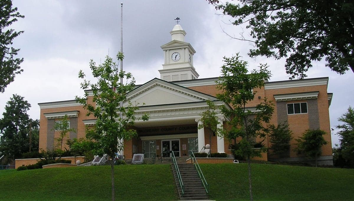
Photo: Wikipedia
Strategic Assessment of McCreary County
Workable tactical position. Some exposure to population density or targets, but generally defensible in a crisis.
What does the Strategic Assessment tell us?
Our Strategic Assessment grades tactical survivability of an area. Major population centers, military targets, fallout zones, natural disasters, and border exposure all drive risk — lower exposure means a more defensible position in a crisis.
This is heavily inspired by Joel Skousen's Strategic Relocation book. Highly recommended you checkout the book ($)What does this tell us?
Our Strategic Assessment grades tactical survivability of an area. Major population centers, military targets, fallout zones, natural disasters, and border exposure all drive risk — lower exposure means a more defensible position in a crisis.
This is heavily inspired by Joel Skousen's Strategic Relocation book. Highly recommended you checkout the book ($)Strategic Pillars

Key Distances
Strategic Assessment Analysis
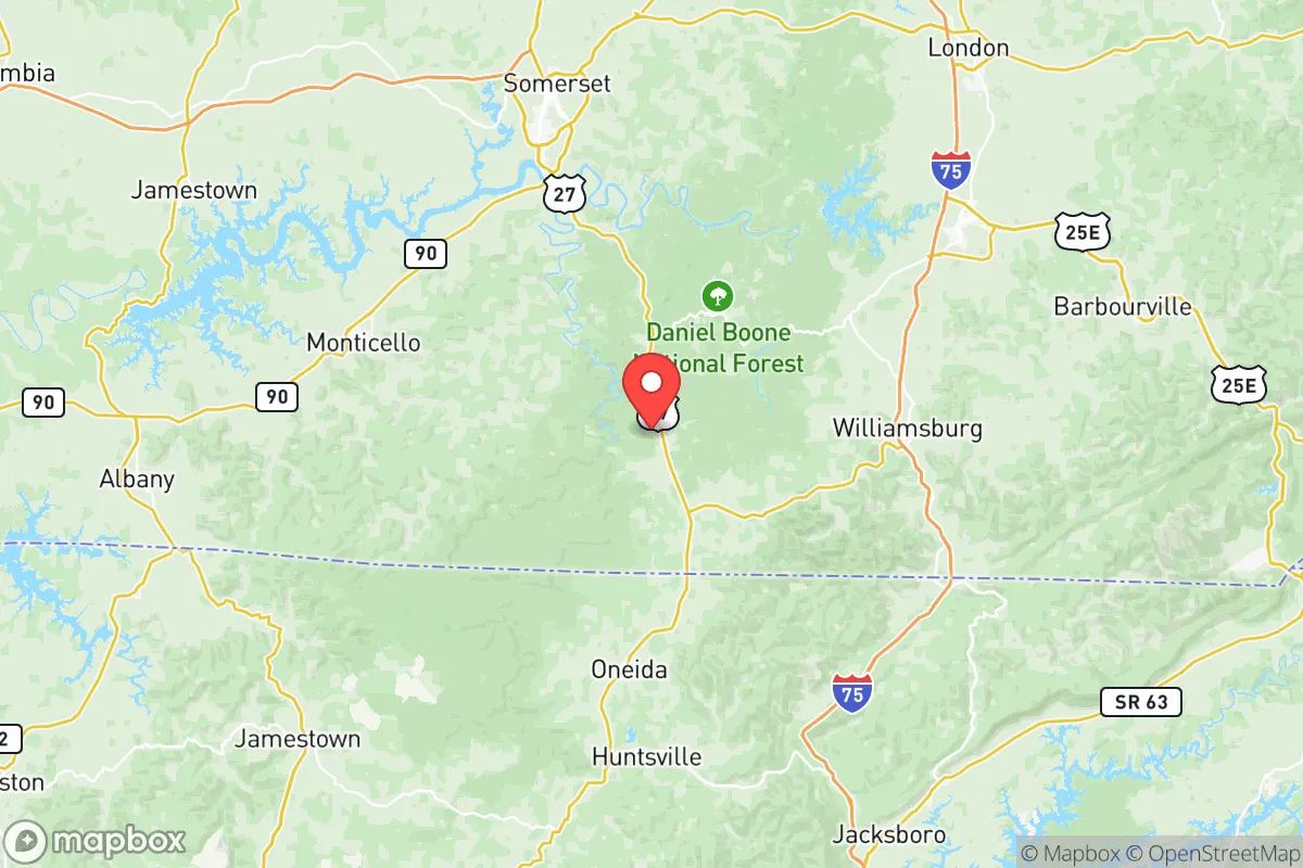
McCreary County, Kentucky, offers a compelling strategic profile for relocators prioritizing resilience and self-sufficiency, anchored by its position in the rugged Cumberland Plateau. The county seat of Whitley City and the unincorporated community of Stearns provide a low-density population base—roughly 17,000 residents spread over 430 square miles—that inherently reduces target risk and social friction. Its location, roughly 90 miles south of Lexington and 120 miles north of Chattanooga, places it outside the immediate blast and fallout zones of major metropolitan areas while still providing access to regional supply chains via US-27 and nearby I-75.
Geographic position and natural advantages for long-term security
The defining feature of McCreary County is its topography: steep ridges, narrow valleys, and extensive forest cover within the Daniel Boone National Forest, which occupies roughly 40% of the county's land area. This terrain creates natural defensibility—choke points along winding roads like KY-92 and KY-1651 make unauthorized approach difficult, and the dense canopy provides excellent concealment from aerial observation. The Big South Fork National River and Recreation Area, straddling the Tennessee border near the community of Yamacraw, offers a vast, federally protected buffer zone that limits development and preserves wildlife corridors. Water resources are a standout advantage: the Cumberland River forms the county's western boundary, and numerous creeks like Rock Creek and Marsh Creek drain the plateau, providing reliable surface water even during drought. The county's elevation—averaging 1,200 to 1,600 feet—means cooler summers and less severe flooding risk than lower-lying areas, while the karst geology offers potential for spring-fed water sources and natural shelter in limestone caves.
Risk exposure and proximity to fallout-relevant landmarks
McCreary County's primary risk profile is low compared to coastal or industrial regions, but it is not immune to man-made threats. The nearest significant military installation is Fort Knox, roughly 100 miles northwest—close enough to be a potential secondary target in a major conflict, but far enough that fallout patterns would likely disperse before reaching McCreary's ridges. The Blue Grass Army Depot near Richmond, Kentucky, about 80 miles north, stores chemical munitions and is a known Department of Defense asset; prevailing winds from the southwest mean a release would push toward Lexington, not McCreary. No major refineries, nuclear power plants, or ports exist within 75 miles—the closest nuclear facility is the Sequoyah Nuclear Plant near Chattanooga, 120 miles south, well outside the dangerous fallout radius for a standard reactor breach. Natural hazards are moderate: the area sits in seismic zone 2 (low to moderate earthquake risk), and tornado activity is below the Kentucky average due to the rugged terrain disrupting storm formation. Flooding is localized to creek bottoms, with the National Flood Insurance Program showing fewer than 50 policies in force county-wide, indicating minimal flood exposure for most ridge-top properties.
Practical resilience for a relocator: food, water, energy, and defensibility
For a relocator serious about self-sufficiency, McCreary County offers a strong baseline with specific limitations. Water is abundant: the county's average annual rainfall of 50 inches, combined with the porous limestone substrate, means most properties can develop a well at 100-300 feet depth, with yields typically 5-15 gallons per minute. Surface water from the Cumberland River and Big South Fork is accessible but requires treatment for sediment and potential agricultural runoff. Food production is constrained by thin, rocky soils—the county is only 8% prime farmland—but ridge-top clearings and valley bottoms support gardens, and the extensive national forest provides hunting for white-tailed deer, wild turkey, and small game. The local agricultural extension office in Whitley City offers soil testing and heirloom seed programs, and the McCreary County Farmers Market operates seasonally. Energy resilience is a mixed picture: grid power is provided by the Cumberland Valley Electric cooperative, with outage frequency above the national average due to tree falls on lines. Solar potential is moderate—the area receives about 4.2 peak sun hours daily—but south-facing slopes on ridges like Hatfield Ridge and Parch Corn Creek offer viable off-grid sites. Wood heating is the dominant backup, with the Daniel Boone National Forest permitting firewood collection for a nominal fee. Defensibility is the county's strongest card: the road network is sparse, with only two primary routes (US-27 and KY-92) providing access, and the terrain creates natural observation points. The McCreary County Sheriff's Office has 12 sworn deputies for the entire county, meaning response times in remote areas can exceed 30 minutes—a factor that favors prepared residents but also means community mutual aid is essential. The county's population is aging (median age 44) and economically stressed (poverty rate around 28%), which can be a double-edged sword: lower crime rates (violent crime is 40% below the Kentucky average) but limited local labor pool for organized community defense.
The overall strategic picture for McCreary County is one of high natural resilience offset by economic fragility. For a relocator with capital and preparation skills—someone who can drill a well, install solar, and stockpile supplies—the county offers a defensible, low-target environment with abundant water and forest resources. The proximity to the Daniel Boone National Forest and Big South Fork provides a de facto wilderness buffer that few counties in the eastern US can match. However, the thin soils and limited local economy mean that long-term self-sufficiency requires significant upfront investment in infrastructure and food production systems. The county's isolation is both its greatest asset and its primary liability: you are far from the chaos of Lexington or Knoxville, but also far from specialized medical care, hardware supply chains, and the social networks that make resilience sustainable. For the reader who values strategic depth over convenience, McCreary County ranks as a solid B+—a place where the geography does most of the work, but the human element requires deliberate cultivation.

* Values derived from national, state, county, city and local statistics and may differ in a specific area. Last updated: 2026-09-14T20:40:30.000Z
Narrative content on this page is AI-generated and may contain mistakes. Verify any details that matter before acting on them.
ReloMaps may earn a commission from affiliate links at no extra cost to you.

