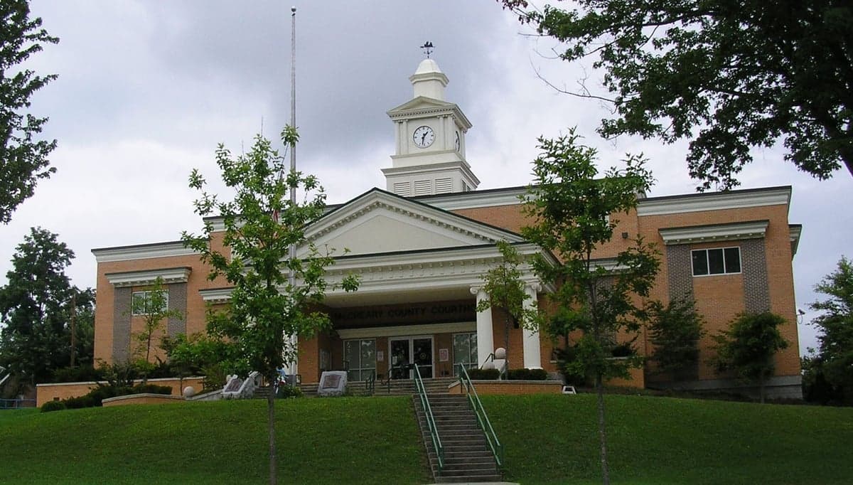
Photo: Wikipedia
Demographics of McCreary County
Affluence Level in McCreary County
A below-average socioeconomic profile. Incomes, home values, and educational attainment trail the U.S., with higher poverty and unemployment.
People of McCreary County
McCreary County, Kentucky, is home to roughly 16,905 residents, a population that is overwhelmingly white (89.0%) and deeply rooted in the Appalachian highlands. With a foreign-born population of just 0.2% and a college attainment rate of 9.1%, the county is one of the most ethnically homogeneous and least educated in the state, reflecting a history of isolation and economic hardship. The people here are characterized by a strong sense of place, family ties, and a self-reliant culture shaped by generations of subsistence farming, timber work, and coal mining. Today, the county’s identity is distinctly rural and conservative, with a small but notable Black community (6.6%) concentrated in and around the county seat of Whitley City.
Settlement & growth (pre-1960)
Long before European settlers arrived, the area now known as McCreary County was part of the traditional hunting grounds of the Cherokee and Shawnee nations. These Native peoples used the rugged terrain of the Cumberland Plateau for seasonal hunting, but no permanent large villages existed within the county’s modern boundaries. The region remained largely untouched by European colonization until after the American Revolution, when the first white settlers—primarily of Scots-Irish and English descent—began filtering into the Cumberland Gap and down the Wilderness Road in the late 1700s and early 1800s. These early pioneers were drawn by cheap, fertile land in the narrow valleys and the promise of independence, settling in what would later become communities like Pine Knot and Stearns.
The county itself was not formed until 1912, carved out of parts of Wayne, Pulaski, and Whitley counties. Its creation was driven by the arrival of the Louisville and Nashville Railroad and the booming timber industry. The Stearns Coal and Lumber Company was the single most powerful force in the county’s early development. Founded by Justus S. Stearns, a Michigan lumber baron, the company built the town of Stearns as a company town in the early 1900s, complete with a sawmill, company store, and housing for workers. This industrial boom pulled in a wave of domestic migrants: poor white farmers from surrounding Appalachian counties, as well as a smaller number of African American laborers who came to work in the timber camps and on the railroad. These Black workers settled primarily in a segregated area of Stearns known as "The Flats" and later in parts of Whitley City, forming the foundation of the county’s enduring Black community.
Throughout the first half of the 20th century, McCreary County’s population grew slowly but steadily, peaking at around 12,000 by 1950. The economy remained almost entirely extractive: timber, coal, and subsistence agriculture. The Great Depression hit hard, but the New Deal’s Civilian Conservation Corps (CCC) provided some relief, building the Big South Fork National River and Recreation Area infrastructure that would later become a tourist draw. No significant immigrant groups arrived during this period; the county’s population was almost entirely native-born white and Black, with the white population overwhelmingly of Scots-Irish and English ancestry. The isolation of the Cumberland Plateau meant that the county remained culturally and genetically distinct, with a strong oral tradition, Appalachian dialect, and a deep distrust of outside authority.
Modern era (post-1965)
The 1965 Hart-Cellar Act, which reshaped American immigration, had virtually no effect on McCreary County. The county’s foreign-born population remains at 0.2% in 2026, one of the lowest rates in the nation. Instead, the post-1965 era has been defined by domestic out-migration and economic decline. The collapse of the coal industry in the 1980s and 1990s, combined with the mechanization of timber harvesting, led to a steady loss of jobs and people. The county’s population fell from a high of roughly 17,000 in 1980 to around 16,900 today, a decline that would have been steeper without a modest influx of retirees and people seeking cheaper housing from more expensive parts of Kentucky and Tennessee.
The most significant demographic shift since 1965 has been the growth of the Black population, which now stands at 6.6%—more than double the state average for rural Kentucky counties. This is not due to new immigration but rather to the natural increase and geographic concentration of the historic Black community in Whitley City and Stearns. These families are largely descendants of the original railroad and timber workers, and they have maintained a distinct community identity, with their own churches and social networks. The Hispanic population remains tiny at 1.8%, and the East/Southeast Asian population is negligible at 0.1%. There is no Indian subcontinent population to speak of.
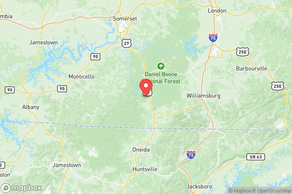
Suburbanization has not occurred in any meaningful way. The county has no interstate highway and is a 90-minute drive from the nearest major city (Knoxville, Tennessee). Instead, the population has become more dispersed as younger people leave for jobs in Lexington, Louisville, or Nashville, while older residents age in place in small communities like Pine Knot, Revelo, and Strunk. The county’s only incorporated city, Whitley City, serves as the commercial and governmental hub, but its population has stagnated at around 1,200. The lack of economic opportunity has made McCreary County a net exporter of people, particularly young adults, for the past four decades.
The future
McCreary County’s population is projected to continue a slow decline, with the U.S. Census Bureau estimating a loss of 5-10% over the next 20 years. The county is becoming less diverse, not more, as younger Black residents also leave for urban areas with better job prospects. The white population is aging rapidly, with a median age of 44, well above the national average. The only potential for growth lies in tourism and retirement migration. The Big South Fork National River and Recreation Area, which covers a large portion of the county, attracts visitors for hiking, fishing, and ATV riding, and a small number of retirees from Florida and the Midwest have purchased land near Pine Knot and Stearns. However, the lack of healthcare infrastructure, high-speed internet, and retail amenities limits this trend.
Culturally, the county is likely to remain overwhelmingly white, conservative, and Appalachian. The small Black community will persist but may shrink further. There is no sign of significant Hispanic or Asian in-migration, as the county offers few jobs in agriculture or manufacturing that typically attract immigrant labor. The next 10-20 years will likely see a continuation of the status quo: a shrinking, aging, and increasingly homogeneous population, with the remaining residents concentrated in the county’s few small towns and scattered along the winding roads of the Cumberland Plateau.
For someone moving in now, McCreary County offers a deeply rooted, quiet, and affordable place to live, but one with limited economic opportunity and little demographic change on the horizon. It is a place where family history and local identity matter more than diversity or growth, and where the population is slowly contracting rather than expanding. New residents will find a community that is welcoming to those who respect its traditions, but they should expect to be part of a shrinking, not growing, population base.

* Values derived from national, state, county, city and local statistics and may differ in a specific area. Last updated: 2026-09-14T20:40:30.000Z
Narrative content on this page is AI-generated and may contain mistakes. Verify any details that matter before acting on them.
ReloMaps may earn a commission from affiliate links at no extra cost to you.

