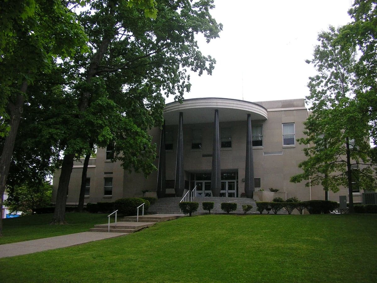
Photo: Wikipedia
Strategic Assessment of Henderson County
Workable tactical position. Some exposure to population density or targets, but generally defensible in a crisis.
What does the Strategic Assessment tell us?
Our Strategic Assessment grades tactical survivability of an area. Major population centers, military targets, fallout zones, natural disasters, and border exposure all drive risk — lower exposure means a more defensible position in a crisis.
This is heavily inspired by Joel Skousen's Strategic Relocation book. Highly recommended you checkout the book ($)What does this tell us?
Our Strategic Assessment grades tactical survivability of an area. Major population centers, military targets, fallout zones, natural disasters, and border exposure all drive risk — lower exposure means a more defensible position in a crisis.
This is heavily inspired by Joel Skousen's Strategic Relocation book. Highly recommended you checkout the book ($)Strategic Pillars

Key Distances
Strategic Assessment Analysis
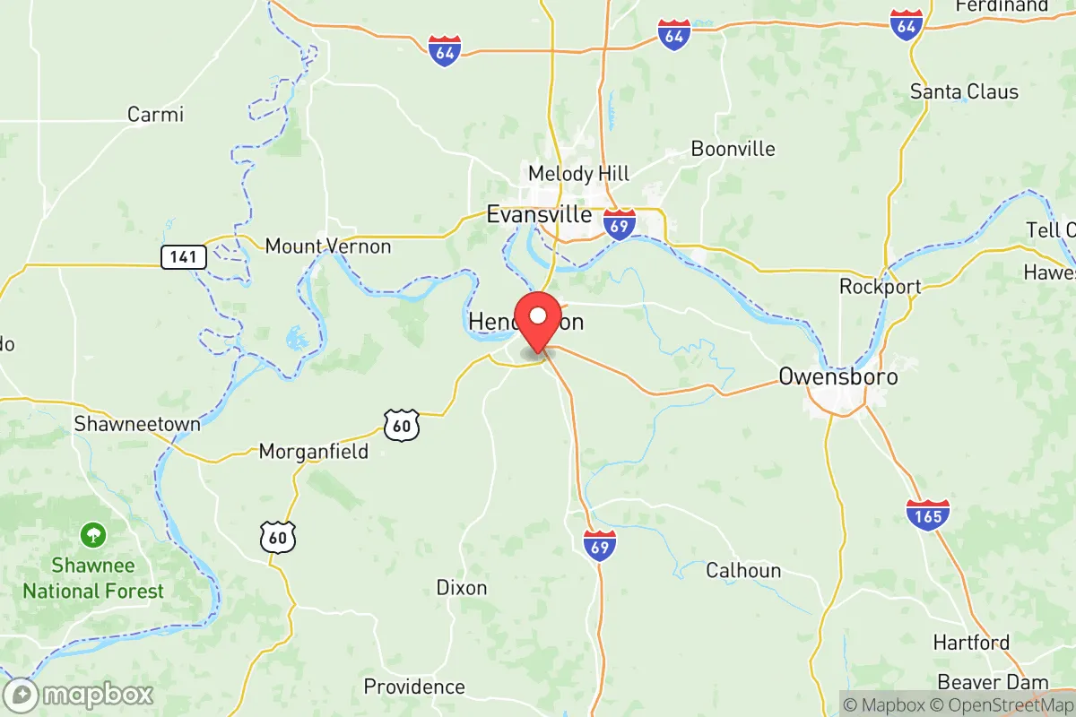
Henderson County, Kentucky, occupies a strategic position along the Ohio River that offers a compelling mix of natural defensibility and practical self-sufficiency for relocators prioritizing disaster readiness. Its location roughly 150 miles southwest of Louisville and 170 miles northwest of Nashville places it outside the immediate blast and fallout zones of major metropolitan targets, while still providing access to regional supply chains and medical infrastructure. The county seat of Henderson anchors a population of roughly 45,000, with the broader county offering a low-density rural landscape that supports independent food production and energy generation. For a single individual or family weighing long-term resilience against modern vulnerabilities, Henderson County presents a balanced option worth serious consideration.
Geographic position and natural advantages for self-sufficiency
Henderson County's primary strategic asset is the Ohio River, which forms its northern border and provides a reliable, high-volume freshwater source that is less susceptible to drought than smaller inland aquifers. The river also serves as a natural barrier to the north, limiting vehicular approach routes and creating a chokepoint for any large-scale movement from Indiana or Illinois. The county sits within the Western Kentucky Coal Field region, meaning abundant surface and groundwater is available through private wells, and the underlying geology supports stable building foundations for underground shelters or root cellars. The terrain is gently rolling to flat, with fertile bottomlands along the river and its tributaries, including the Green River which joins the Ohio just east of Henderson. This topography is ideal for small-scale agriculture, livestock grazing, and rainwater catchment systems. The county's position in the Ohio Valley also places it in a moderate climate zone with four distinct seasons, reducing the risk of extreme weather events like hurricanes or wildfires that plague other regions. Winters are cold enough to suppress pest populations but not severe enough to make off-grid heating a life-or-death challenge, while summers provide a long growing season for staple crops like corn, beans, and squash.
Risks, exposures, and proximity to fallout-relevant landmarks
No strategic assessment is complete without acknowledging the liabilities. Henderson County's most significant risk exposure comes from its proximity to the Ohio River's industrial corridor. Upstream, the Marvel and Rubbertown industrial complexes near Louisville produce chemicals, plastics, and synthetic rubber; a major industrial accident or terrorist strike on those facilities could release toxic plumes that travel down the river valley. Closer to home, the county itself hosts the Henderson Refinery, a crude oil processing facility operated by Marathon Petroleum, located directly on the river. A catastrophic failure or targeted attack on this refinery would pose both an immediate explosion risk and a long-term contamination hazard for the surrounding area. Additionally, the county lies within 200 miles of Fort Campbell, a major Army installation on the Kentucky-Tennessee border that could become a secondary target in a conflict scenario. The Ohio River itself is a strategic chokepoint for barge traffic; any disruption to the locks and dams at Smithland or Olmsted could affect river transport and potentially draw military or insurgent attention. Natural risks are comparatively low: the region experiences occasional tornadoes, with the 2021 Western Kentucky tornado outbreak demonstrating that severe weather can impact the area, but Henderson County sits outside the highest-risk zones for earthquakes, hurricanes, or wildfires. Flooding along the Ohio and Green Rivers is a periodic concern, particularly in low-lying areas near the riverfront, but most residential development sits on higher ground above the 100-year floodplain.
Practical resilience for a relocator: food, water, energy, and defensibility
For a relocator serious about self-sufficiency, Henderson County offers strong fundamentals. Food production is viable year-round: the county's agricultural heritage means fertile soil, established farm supply stores in Henderson and nearby Morganfield, and a network of local farmers' markets and CSAs that can serve as stopgap sources while establishing personal gardens. Game is abundant in the surrounding woodlands and bottomlands, with deer, turkey, and small game providing protein options for those with hunting skills. Water security is excellent: the Ohio River provides a virtually unlimited surface water source, and the underlying Mississippian aquifer yields reliable well water at depths of 50-150 feet in most areas. The Henderson Water Utility serves the city, but rural properties commonly have private wells, reducing dependence on municipal infrastructure. Energy resilience is mixed: the county is served by Kenergy, a rural electric cooperative, and Kentucky Utilities, both of which have reasonable reliability records, but rural outages can last days after severe storms. Solar potential is moderate, with the region receiving about 4.5 peak sun hours per day, sufficient for a well-designed off-grid system with battery storage. Natural gas is available in the city and many suburban areas, providing a backup heating and cooking option. Defensibility is a relative strength: the county's rural character means properties are often separated by fields or woodlots, providing natural standoff distance. The Ohio River to the north, the Green River to the east, and the heavily forested areas to the south create a semi-enclosed basin that limits approach vectors. The local population is predominantly conservative and self-reliant, with a strong hunting and firearms culture that suggests a baseline level of community preparedness. The county sheriff's office and local police departments in Henderson and Robards maintain a visible presence, but response times in rural areas can exceed 20 minutes, making personal security planning essential.
The overall strategic picture for Henderson County is one of balanced resilience with manageable trade-offs. It avoids the extreme risks of coastal or metropolitan locations while retaining access to the infrastructure and supply chains that make modern self-sufficiency practical. The Ohio River is both an asset and a liability: it provides water and transport but also concentrates industrial targets and potential fallout vectors. For a relocator who can secure a property with private water, establish food production capacity, and maintain a low profile, Henderson County offers a defensible position in a region with a like-minded community and a proven agricultural base. The key is to avoid the immediate riverfront and the refinery's blast radius, focus on the rural southern and eastern portions of the county, and build relationships with local farmers and tradespeople before any crisis materializes. In a world of increasing uncertainty, Henderson County represents a solid, unglamorous choice for those who value substance over scenery and readiness over convenience.

* Values derived from national, state, county, city and local statistics and may differ in a specific area. Last updated: 2026-07-08T21:20:39.000Z
Narrative content on this page is AI-generated and may contain mistakes. Verify any details that matter before acting on them.
ReloMaps may earn a commission from affiliate links at no extra cost to you.

