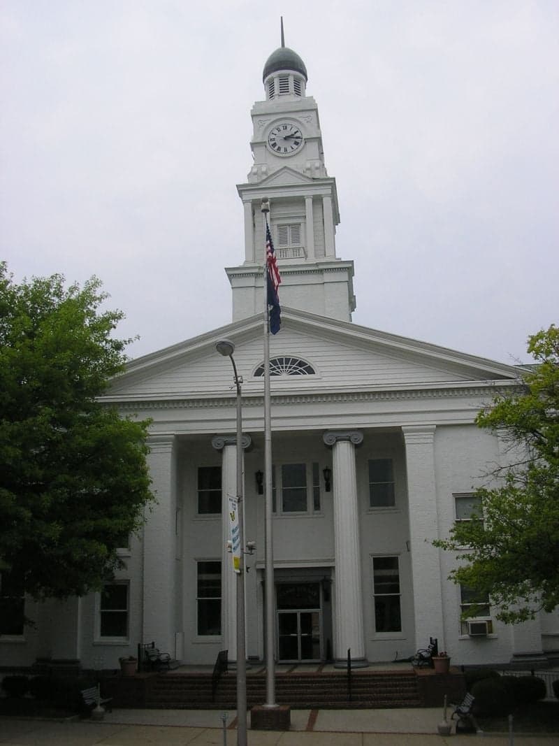
Photo: Wikipedia
Strategic Assessment of Clark County
Workable tactical position. Some exposure to population density or targets, but generally defensible in a crisis.
What does the Strategic Assessment tell us?
Our Strategic Assessment grades tactical survivability of an area. Major population centers, military targets, fallout zones, natural disasters, and border exposure all drive risk — lower exposure means a more defensible position in a crisis.
This is heavily inspired by Joel Skousen's Strategic Relocation book. Highly recommended you checkout the book ($)What does this tell us?
Our Strategic Assessment grades tactical survivability of an area. Major population centers, military targets, fallout zones, natural disasters, and border exposure all drive risk — lower exposure means a more defensible position in a crisis.
This is heavily inspired by Joel Skousen's Strategic Relocation book. Highly recommended you checkout the book ($)Strategic Pillars

Key Distances
Strategic Assessment Analysis
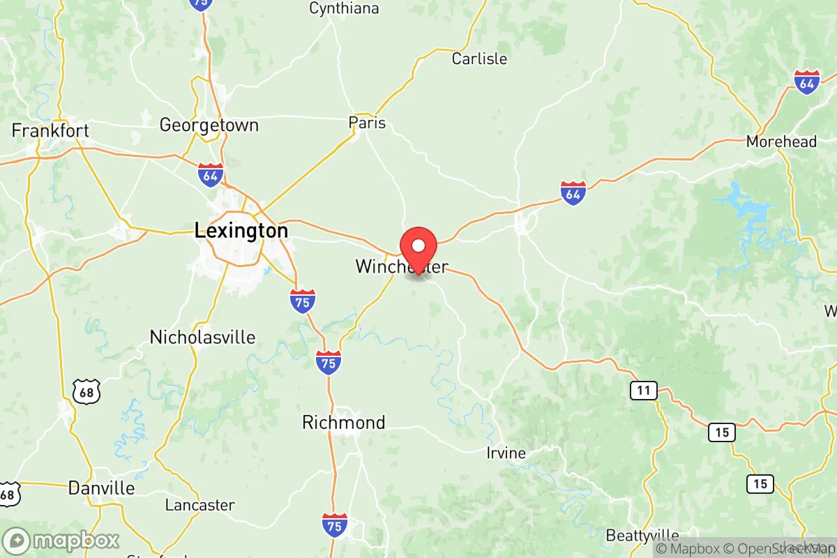
Clark County, Kentucky, and its seat of Winchester, occupy a strategic position that balances rural self-sufficiency with access to regional infrastructure, making it a serious contender for relocation-minded individuals and families focused on resilience. The area’s location roughly 20 miles east of Lexington places it outside the immediate blast and fallout zones of a major metropolitan center, while still providing proximity to supply chains, medical facilities, and transportation corridors. This geographic buffer, combined with the county’s agricultural base and lower population density, offers a foundation for long-term stability that is increasingly rare in the Bluegrass region.
Geographic position and natural advantages for long-term stability
Clark County sits within the Inner Bluegrass region, characterized by rolling limestone terrain, fertile soils, and a temperate climate that supports year-round agriculture. The county’s elevation averages around 950 feet, which provides natural drainage and reduces flood risk compared to low-lying areas along the Kentucky River. The Kentucky River itself forms the county’s southern border, offering a reliable water source, though access points are limited by steep bluffs in many areas. The region’s karst topography—with its limestone bedrock and underground aquifers—means groundwater is generally abundant and of good quality, a critical factor for off-grid water planning. Winchester’s position along the Louisville and Nashville Railroad corridor, now operated by CSX, provides a freight rail link that could prove valuable for moving goods if road networks are compromised. The county’s proximity to the Blue Grass Airport in Lexington (about 25 miles west) and the major interstate I-75 (15 miles west) offers evacuation or supply routes, though these same arteries could become congestion points during a crisis. For a relocator, the key natural advantage is the combination of arable land, reliable rainfall (averaging 45 inches annually), and a growing season of roughly 180 days—enough to support substantial home food production.
Risks, exposures, and proximity to fallout-relevant landmarks
While Clark County avoids the highest-risk zones, it is not without exposures that a strategic relocator must weigh. The most significant man-made risk comes from the Blue Grass Army Depot, located just 12 miles southwest of Winchester in Madison County. This facility stores chemical weapons and conventional munitions, including a portion of the nation’s aging chemical stockpile awaiting destruction. Though the depot has a strong safety record and destruction operations are ongoing, its presence introduces a non-zero risk of accidental release or targeted attack. Additionally, the county lies within 100 miles of the Tennessee Valley Authority’s coal and natural gas plants, as well as the Fort Campbell military base (about 180 miles west), which could become a target in a major conflict. On the natural hazard side, Clark County sits in a moderate seismic zone—the New Madrid Seismic Zone, roughly 250 miles west, could produce felt earthquakes, but the local risk of direct damage is low. Tornado risk is real but typical for the region; the county averages 1-2 tornado warnings per year, with the most recent significant event being an EF-2 tornado that struck near Winchester in 2012. Flooding is limited to low-lying areas along the Kentucky River and smaller creeks like Strodes Creek and Boone Creek. For a relocator, the primary concern is the Blue Grass Army Depot’s proximity—any major incident there could affect evacuation routes and air quality, making it worth understanding the depot’s emergency planning zones.
Practical resilience for a relocator: food, water, energy, and defensibility
Clark County’s practical resilience profile is strong, particularly for those willing to invest in self-sufficiency measures. The county has over 1,000 farms covering roughly 60% of its land area, with a heavy emphasis on cattle, hay, tobacco, and corn. This agricultural base means local food production is viable, and the Winchester Farmers Market operates seasonally, providing a direct link to regional growers. For water, the county’s primary source is the Kentucky River, treated by the Winchester Municipal Utilities plant, but private wells are common in rural areas—well depths typically range from 100 to 300 feet, with yields of 10-30 gallons per minute in most locations. Rainwater harvesting is feasible given the annual precipitation, though limestone water can be hard and may require filtration. Energy infrastructure is moderately resilient: the county is served by Clark Energy Cooperative, a member-owned electric co-op that has invested in grid hardening and tree-trimming programs. However, the area is not immune to power outages—winter ice storms and summer thunderstorms can knock out power for 24-48 hours, with longer outages possible in remote areas. Solar potential is good, with the region receiving about 4.5 peak sun hours per day, making off-grid solar arrays a realistic option for supplementing or replacing grid power. Defensibility is a mixed picture: the county’s terrain is gently rolling, offering some natural observation points, but the open farmland and scattered woodlots provide limited cover. Rural properties with good road access and a clear line of sight to approach routes are preferable. The county’s law enforcement presence is modest—the Winchester Police Department and Clark County Sheriff’s Office together field about 50 sworn officers, meaning response times in rural areas can exceed 20 minutes. For a relocator, the key practical takeaway is that Clark County offers the raw ingredients for resilience—land, water, and agricultural capacity—but requires personal investment in backup systems and community relationships to realize that potential.
The overall strategic picture for Clark County is one of moderate-to-high resilience for a relocator willing to be proactive. Its distance from major metropolitan targets like Lexington and Louisville, combined with its agricultural base and water resources, provides a solid foundation for long-term stability. The primary risks—the Blue Grass Army Depot, moderate tornado exposure, and grid vulnerability—are manageable with planning and do not outweigh the area’s advantages. For a family or individual serious about disaster readiness and self-sufficiency, Clark County offers a realistic balance: close enough to urban resources to be practical, far enough to avoid the worst of a crisis, and with enough natural and infrastructural assets to support a resilient lifestyle. The county’s real estate market, with median home prices around $250,000 as of 2025, makes this strategic position accessible compared to more expensive regions in the western U.S. or Northeast. In short, Clark County is a solid B+ on the resilience map—not a fortress, but a defensible, productive piece of the Bluegrass that rewards preparation.

* Values derived from national, state, county, city and local statistics and may differ in a specific area. Last updated: 2026-07-17T10:45:43.000Z
Narrative content on this page is AI-generated and may contain mistakes. Verify any details that matter before acting on them.
ReloMaps may earn a commission from affiliate links at no extra cost to you.

