
Photo: Wikipedia
Strategic Assessment of Bullitt County
Meaningful friction. Expect exposure to either population pressure, blast zones, or natural disaster risk. Consider buying a retreat property.
What does the Strategic Assessment tell us?
Our Strategic Assessment grades tactical survivability of an area. Major population centers, military targets, fallout zones, natural disasters, and border exposure all drive risk — lower exposure means a more defensible position in a crisis.
This is heavily inspired by Joel Skousen's Strategic Relocation book. Highly recommended you checkout the book ($)What does this tell us?
Our Strategic Assessment grades tactical survivability of an area. Major population centers, military targets, fallout zones, natural disasters, and border exposure all drive risk — lower exposure means a more defensible position in a crisis.
This is heavily inspired by Joel Skousen's Strategic Relocation book. Highly recommended you checkout the book ($)Strategic Pillars

Key Distances
Strategic Assessment Analysis
Bullitt County, Kentucky, offers a compelling mix of geographic resilience and practical self-sufficiency for relocators prioritizing disaster readiness, sitting just south of Louisville but far enough from the urban core to avoid its most acute vulnerabilities. The county’s position along the Muldraugh Hill escarpment provides natural elevation advantages, while its location in the interior Southeast keeps it outside the highest-risk zones for hurricanes, earthquakes, and nuclear fallout corridors. For a single individual or family thinking seriously about long-term stability, Bullitt County presents a balanced strategic option — close enough to resources, far enough from targets.
Geographic position and natural advantages for disaster readiness
Bullitt County’s most significant geographic asset is its position along the ridgeline of Muldraugh Hill, which runs east-west through the county and provides natural elevation and drainage advantages over the surrounding lowlands. The county seat, Shepherdsville, sits at roughly 450 feet above sea level, while much of the surrounding floodplain along the Salt River remains lower and more exposed. This elevation reduces the risk of riverine flooding that affects parts of neighboring Hardin and Nelson counties. The county is also far enough inland — roughly 200 miles from the Gulf Coast and 150 miles from the New Madrid Seismic Zone — to avoid the worst of hurricane storm surge or major earthquake liquefaction. The local karst topography, with its limestone bedrock and numerous caves, offers potential for natural shelter and water filtration, though it also requires careful well and septic planning. For a relocator, the area’s position in the Ohio River Valley means moderate climate risks: tornadoes are possible but less frequent than in the Plains, and winter ice storms are the most common weather hazard.
Risks, exposures, and proximity to fallout-relevant landmarks
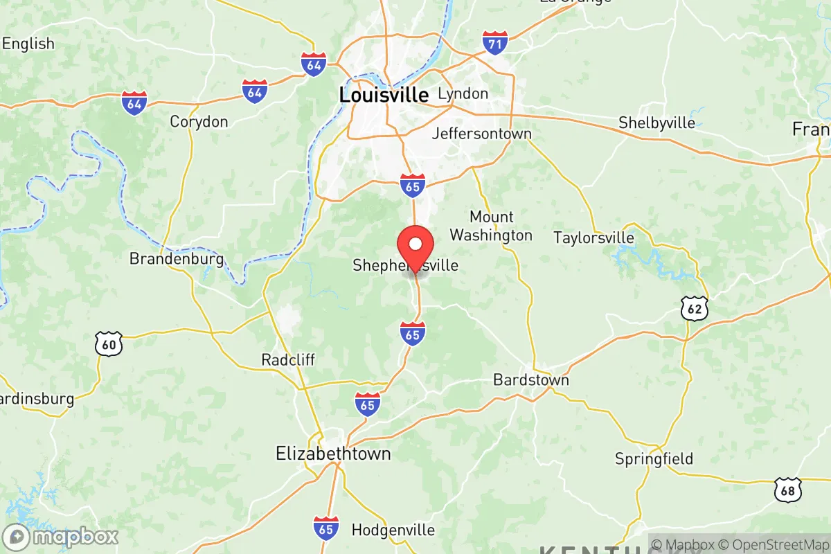
Bullitt County’s primary strategic risk is its proximity to Louisville, which sits roughly 20 miles north and contains several high-consequence targets. The Louisville International Airport (SDF) is a major UPS Worldport hub, handling millions of packages daily, and the Ohio River corridor hosts multiple chemical plants, refineries, and the Cane Run Generating Station. In a major conflict or grid-down scenario, these could become fallout-relevant landmarks. The county also lies within 50 miles of Fort Knox, a major military installation and gold depository, which could be a secondary target. Closer to home, Bullitt County itself has no major military bases or refineries, but the Jefferson County line is only a few miles north of Shepherdsville, meaning fallout from a Louisville strike could reach southern Bullitt County depending on wind patterns. The county’s industrial base is modest — mainly warehousing and logistics along the I-65 corridor — so it is not a primary target, but its position on a major north-south interstate (I-65) means it could see significant refugee traffic from Louisville in a crisis. Natural risks are lower: the area is not in a hurricane zone, has no active fault lines, and experiences only occasional flash flooding in low-lying areas near the Salt River.
Practical resilience for a relocator: food, water, energy, and defensibility
For a relocator focused on self-sufficiency, Bullitt County offers strong practical resilience. The county is home to over 1,200 farms, with the largest agricultural outputs being tobacco, corn, soybeans, and cattle — meaning local food production is viable and accessible. The Salt River and its tributaries, including Floyd’s Fork and Cedar Creek, provide surface water sources, though treatment is necessary. Groundwater is available via wells in most areas, but the karst geology means contamination from surface runoff is a real concern, so well depth and placement matter. The county’s energy grid is served by LG&E and KU, with natural gas and electric lines running along the I-65 corridor; rural areas are more prone to outages during ice storms, but many residents already maintain backup generators. Defensibility is moderate: the Muldraugh Hill ridgeline offers natural chokepoints and observation points, and the county’s rural southern half — around towns like Lebanon Junction and Clermont — provides more seclusion than the suburban northern tier near Shepherdsville. The county’s population density is roughly 250 people per square mile, low enough to avoid crowding but high enough to maintain community networks. For a family, the Bernheim Arboretum and Research Forest in Clermont offers a 16,000-acre buffer zone and potential foraging and water resources, though it is a public space.
Overall, Bullitt County presents a balanced strategic picture for the disaster-conscious relocator. It avoids the highest-risk zones for natural disasters and major man-made targets while remaining close enough to Louisville for medical access and supply runs. The county’s elevation, agricultural base, and moderate population density make it a viable option for those seeking a middle ground between urban vulnerability and rural isolation. The key trade-offs are the proximity to Louisville’s target set and the potential for refugee flow along I-65 — both manageable with proper planning and a location in the county’s southern half. For a single individual or family willing to invest in well water, backup power, and a defensible property, Bullitt County offers a solid foundation for long-term resilience.

* Values derived from national, state, county, city and local statistics and may differ in a specific area. Last updated: 2026-07-09T12:51:46.000Z
Narrative content on this page is AI-generated and may contain mistakes. Verify any details that matter before acting on them.
ReloMaps may earn a commission from affiliate links at no extra cost to you.

