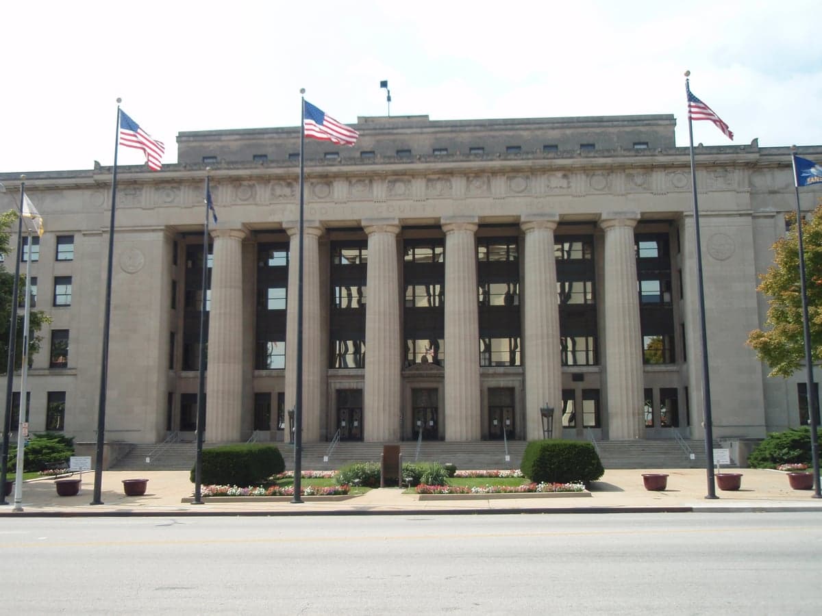
Photo: Wikipedia
Strategic Assessment of Wyandotte County
Multiple tactical vulnerabilities. Population density, target proximity, or disaster risk are likely compounding. A retreat property and exit planning is required.
What does the Strategic Assessment tell us?
Our Strategic Assessment grades tactical survivability of an area. Major population centers, military targets, fallout zones, natural disasters, and border exposure all drive risk — lower exposure means a more defensible position in a crisis.
This is heavily inspired by Joel Skousen's Strategic Relocation book. Highly recommended you checkout the book ($)What does this tell us?
Our Strategic Assessment grades tactical survivability of an area. Major population centers, military targets, fallout zones, natural disasters, and border exposure all drive risk — lower exposure means a more defensible position in a crisis.
This is heavily inspired by Joel Skousen's Strategic Relocation book. Highly recommended you checkout the book ($)Strategic Pillars

Key Distances
Strategic Assessment Analysis
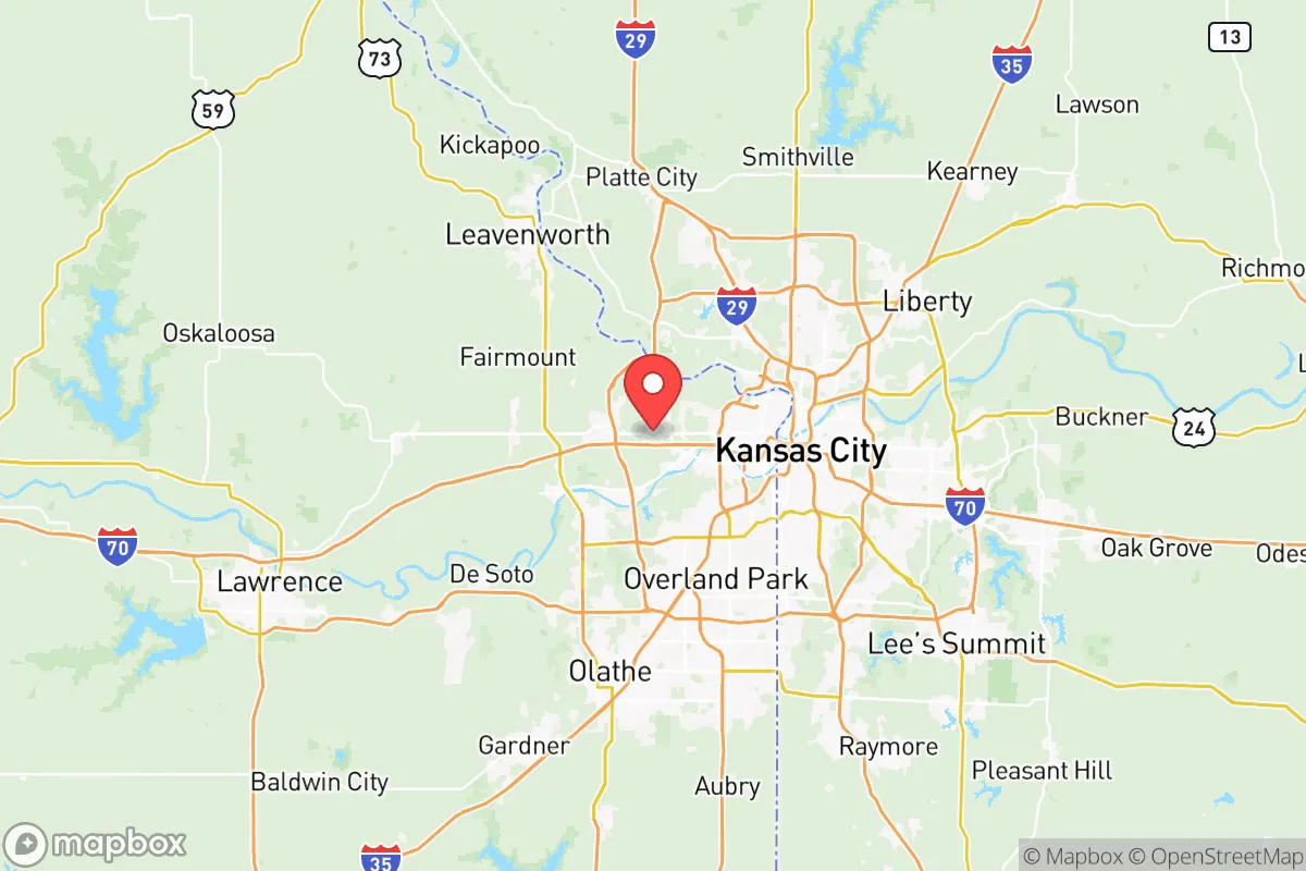
Wyandotte County, Kansas, occupies a unique strategic position at the confluence of the Missouri and Kansas Rivers, offering both significant resilience advantages and notable exposure risks for a relocator focused on disaster readiness and self-sufficiency. While its location within the Kansas City metropolitan area provides access to robust infrastructure and supply chains, it also places residents within the shadow of a major urban center and its associated vulnerabilities. For a conservative-leaning individual or family weighing long-term security, Wyandotte County presents a mixed picture: genuine geographic strengths in water and transport, offset by proximity to high-value man-made targets and the inherent fragility of a densely populated region.
Geographic position and natural advantages for self-sufficiency
Wyandotte County’s most compelling asset is its position at the junction of two major rivers. The Missouri River forms its northern border, and the Kansas River cuts through the southern portion, meeting at Kaw Point in Kansas City, Kansas. This provides a virtually unlimited freshwater source for households willing to invest in private well systems or river-water filtration—a critical advantage over inland counties dependent on municipal reservoirs or groundwater that could be disrupted. The county’s topography is mostly rolling hills with some bluffs along the rivers, offering natural drainage and defensible high ground in areas like the neighborhoods near Wyandotte County Lake Park. The land is fertile, with deep alluvial soils in the river bottoms, supporting small-scale agriculture for those with acreage. However, the county is only 156 square miles, making it one of Kansas’s smallest by area, which limits the availability of large, secluded parcels for off-grid living. The climate is temperate, with four distinct seasons and an average annual rainfall of about 38 inches, sufficient for rain catchment and dryland farming without heavy irrigation. For a relocator, the key natural advantage is water abundance, but the trade-off is limited space for true isolation.
Risks, exposures, and proximity to fallout-relevant landmarks
The most significant risk for Wyandotte County is its location within the Kansas City metropolitan area, a population center of over 2.2 million people. In a major disaster scenario—whether natural or man-made—this density creates competition for resources, potential civil unrest, and choke points on evacuation routes like Interstates 70, 35, and 635, all of which converge in the county. More specifically, Wyandotte County contains several high-value targets that could draw secondary risks. The General Motors Fairfax Assembly Plant in Kansas City, Kansas, is a major industrial facility employing over 2,000 people, and its disruption could affect local supply chains. The Kansas City International Airport (MCI) lies just north in Platte County, Missouri, but its flight paths and cargo operations directly impact Wyandotte County’s airspace and emergency response corridors. The county also hosts the Kansas City Kansas Community College and several large data centers, which, while not direct fallout targets, could become focal points for looting or resource hoarding in a breakdown. For a reader concerned about nuclear or EMP scenarios, the proximity to the Fort Leavenworth military base (about 20 miles northwest in Leavenworth County) is a double-edged sword: it provides a potential security buffer but also makes the area a likely target for any adversary seeking to disrupt U.S. command and control. Additionally, the county sits roughly 150 miles from the Whiteman Air Force Base in Johnson County, Missouri, home to B-2 stealth bombers—a prime strategic target. The Missouri River itself poses a natural hazard: major flooding events, like the 2019 floods that inundated parts of the county, can cut off roads and contaminate water supplies. Tornado risk is moderate but real, with Wyandotte County averaging 12 tornado warnings per year, though the county’s warning systems and storm shelters are generally adequate.
Practical resilience for a relocator: food, water, energy, and defensibility
For a relocator prioritizing self-sufficiency, Wyandotte County offers a mixed practical picture. Water is the strongest suit: the Missouri and Kansas Rivers provide a reliable surface water source, and the county’s groundwater in the alluvial aquifers is generally good quality, though testing for agricultural runoff is advisable. The Kansas City Board of Public Utilities (BPU) supplies municipal water to most of the county, but a private well with a hand pump or a river-water filtration system (e.g., a Berkey or sand filter) would offer independence. Food production is feasible but requires land. The county has several community gardens and farmers’ markets, but for serious self-sufficiency, a relocator would need to look at the rural edges near Bonner Springs or Edwardsville, where 5-10 acre parcels are still available at relatively affordable prices (around $15,000–$25,000 per acre as of 2025). The growing season averages 180 days, suitable for corn, beans, squash, and hardy greens. Livestock is possible but limited by zoning in denser areas. Energy resilience is a concern: the county’s grid is tied to the regional Southwest Power Pool, which has faced strain during winter storms (e.g., the 2021 Texas freeze spillover effects). Solar potential is moderate, with about 4.5 peak sun hours per day, making rooftop solar with battery backup a viable but not exceptional option. Natural gas is widely available, but a backup propane tank or wood-burning stove is recommended for heating. Defensibility is the weakest category. The county is flat to gently rolling, with few natural chokepoints. The urban core of Kansas City, Kansas, has high crime rates—the city’s violent crime rate was roughly 1,200 per 100,000 in 2023, well above national averages—meaning that in a crisis, securing a rural homestead near the county’s western edge (closer to Leavenworth County) would be far more practical than a home in the city. The county’s law enforcement presence is concentrated in the urban areas, leaving rural pockets like those near Piper or Lake Quivira with longer response times. For a family, the best strategy is to secure a property with a well, a fenced perimeter, and a defensible layout, ideally on a dead-end road with limited access points.
Overall, Wyandotte County is a viable but not ideal location for a relocator with a serious disaster-preparedness mindset. Its water abundance and river access are genuine strategic assets, and its position within a major metro area provides economic opportunities and supply chain access that many rural counties lack. However, the same metro proximity introduces significant risks: population density, target-rich infrastructure, and evacuation bottlenecks. For a conservative-leaning individual or family, the county’s best value lies in its western and northern edges, where land is cheaper and isolation is greater, while still being within a 30-minute drive of Kansas City’s hospitals and hardware stores. The key trade-off is between convenience and security—Wyandotte County offers the former in spades, but the latter requires deliberate, expensive choices in property selection and self-sufficiency investments. For those willing to make those choices, it can serve as a resilient base; for those seeking a low-risk, off-grid retreat, counties further west in Kansas, like Washington or Republic County, would offer fewer man-made threats and more land for the same money.

* Values derived from national, state, county, city and local statistics and may differ in a specific area. Last updated: 2026-07-03T00:26:45.000Z
Narrative content on this page is AI-generated and may contain mistakes. Verify any details that matter before acting on them.
ReloMaps may earn a commission from affiliate links at no extra cost to you.

