
Photo: Wikipedia
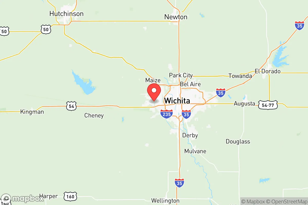
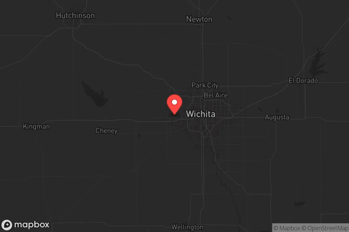
Strategic Assessment of Sedgwick County
Meaningful friction. Expect exposure to either population pressure, blast zones, or natural disaster risk. Consider buying a retreat property.
What does the Strategic Assessment tell us?
Our Strategic Assessment grades tactical survivability of an area. Major population centers, military targets, fallout zones, natural disasters, and border exposure all drive risk — lower exposure means a more defensible position in a crisis.
This is heavily inspired by Joel Skousen's Strategic Relocation book. Highly recommended you checkout the book ($)What does this tell us?
Our Strategic Assessment grades tactical survivability of an area. Major population centers, military targets, fallout zones, natural disasters, and border exposure all drive risk — lower exposure means a more defensible position in a crisis.
This is heavily inspired by Joel Skousen's Strategic Relocation book. Highly recommended you checkout the book ($)Strategic Pillars

Key Distances
Strategic Assessment Analysis
Sedgwick County, anchored by Wichita, offers a surprisingly resilient strategic position for those prioritizing preparation and self-reliance, but it comes with hard trade-offs. Its location in south-central Kansas places it far from the immediate blast zones of major coastal targets, yet its own industrial and military infrastructure creates distinct risks. For a relocator thinking in terms of civic unrest, supply chain collapse, or mass casualty events, this area provides a solid base of operations—if you understand where the vulnerabilities lie and plan accordingly.
Geographic position and natural advantages for long-term stability
Sedgwick County sits at the intersection of I-35 and I-135, roughly 160 miles from the Oklahoma border and 200 miles from the Kansas City metro. This central location is a double-edged sword: it’s far enough from the coasts to avoid the worst of a nuclear exchange targeting ports or major population centers, but close enough to major highways to facilitate movement if needed. The county’s terrain is flat, open prairie, which offers excellent visibility and long-range sightlines—a tactical advantage for anyone concerned with perimeter security. The Arkansas River runs through Wichita, providing a surface water source, and the underlying Ogallala Aquifer, while deeper here than in western Kansas, still offers groundwater access for wells. The climate is continental, with hot summers and cold winters, but the region is not prone to hurricanes, earthquakes, or wildfires, reducing the likelihood of natural disasters compounding a man-made crisis. The county’s agricultural base is a genuine asset: Sedgwick County is surrounded by some of the most productive farmland in the world, meaning local food production could theoretically sustain a reduced population even if supply chains collapse. The Wichita Dwight D. Eisenhower National Airport (ICT) is a major cargo hub, which could be a liability in a crisis (attracting looters or refugees) but also a potential asset for resupply if you have connections.
Risks, exposures, and proximity to fallout-relevant landmarks
The most significant risk in Sedgwick County is its own industrial and military infrastructure. McConnell Air Force Base, located in southeast Wichita, is home to the 931st Air Refueling Wing and the 184th Intelligence Wing—a high-value target in any peer-level conflict. A strike on McConnell would produce a significant blast radius and fallout plume that could affect much of the county, especially areas east and south of the base. Additionally, Wichita is the "Air Capital of the World," with major aerospace manufacturing facilities from Textron Aviation (Cessna, Beechcraft) and Spirit AeroSystems. These plants are not primary nuclear targets, but they are strategic industrial assets that could be targeted in a conventional war or subjected to sabotage during civil unrest. The county also hosts several chemical and fuel storage facilities along the Arkansas River corridor, including the Koch Industries refinery in nearby El Dorado (Butler County) and the Coffeyville Resources refinery about 100 miles southeast. A major incident at either could contaminate the river and affect water supplies downstream. Proximity to the Kansas City metro (about 200 miles east) and the Oklahoma City metro (about 160 miles south) means that in a mass evacuation scenario, Sedgwick County could see a surge of refugees fleeing those larger population centers. The county’s own population of about 520,000 is concentrated in Wichita, which creates a density problem: the city itself is a potential flashpoint for unrest, while the rural parts of the county offer more defensible positions. The presence of the Kansas National Guard’s 235th Regiment at McConnell and the Sedgwick County Sheriff’s Office provides some law enforcement capacity, but in a widespread collapse, these resources would be stretched thin.
Practical resilience for a relocator: food, water, energy, and defensibility
For a relocator serious about preparedness, Sedgwick County offers a mixed bag. Water is the most critical concern. The Arkansas River is seasonal and often low, and it carries agricultural runoff. The municipal water supply for Wichita comes from Cheney Reservoir and the Equus Beds aquifer, but in a prolonged grid-down scenario, those systems would fail. A private well drilled to the Ogallala (typically 200-400 feet deep in this area) is the only reliable long-term water source. Food production is viable: the growing season runs April to October, and the soil is fertile black loam. Small-scale farming, livestock (cattle, pigs, chickens), and hunting (deer, turkey, waterfowl) are all realistic. The county has several farmers' markets and grain elevators, but in a crisis, those would be quickly depleted. Energy is a vulnerability. The county is served by Evergy (coal and natural gas) and Westar Energy, with some wind generation in the western part of the county. A grid-down event would require solar panels with battery storage or a generator with a large fuel cache—gasoline and diesel are available at numerous stations, but those would run out within days. Defensibility is terrain-dependent. The open prairie offers no natural cover, so a rural property with a good field of fire, a perimeter fence, and a well-stocked armory is ideal. The county has a strong gun culture and relatively lax firearm laws (Kansas is a constitutional carry state), which is a plus for those who prioritize self-defense. The rural towns of Goddard, Andale, and Colwich offer small, tight-knit communities where mutual aid is more likely than in Wichita proper. The county’s road network is extensive, but choke points on the Arkansas River bridges could be used for defensive purposes. Medical resilience is a concern: the county has several hospitals (Wesley Medical Center, Via Christi St. Francis) but they would be overwhelmed in a mass casualty event. Stockpiling antibiotics, trauma supplies, and learning basic field medicine is non-negotiable.
The overall strategic picture for Sedgwick County is one of cautious viability for the prepared relocator. It is not a survivalist paradise—the presence of McConnell AFB, aerospace manufacturing, and a population center of half a million people creates real risks that cannot be ignored. However, its central location, agricultural base, and access to groundwater give it a resilience that many coastal or urban-adjacent areas lack. The key is to avoid Wichita proper and instead secure a rural property in the western or northern parts of the county, where population density drops and defensibility improves. Establish a well, a solar array, and a food garden before any crisis hits. Build relationships with neighbors in towns like Goddard or Andale—community is your best insurance against chaos. Sedgwick County is not a bug-out location; it’s a live-in location that requires constant preparation. If you’re willing to put in the work, it offers a solid foundation for weathering the storms ahead. If you’re looking for a place to hide, keep driving west. But if you want a place to stand and build, this county has the bones for it.
* Values derived from national, state, county, city and local statistics and may differ in a specific area. Last updated: 2026-05-16T06:11:50.000Z
Narrative content on this page is AI-generated and may contain mistakes. Verify any details that matter before acting on them.
ReloMaps may earn a commission from affiliate links at no extra cost to you.