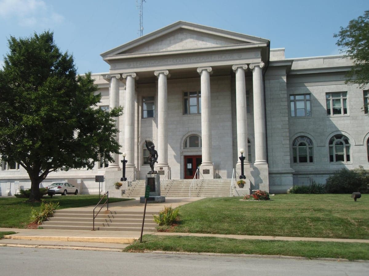
Photo: Wikipedia
Strategic Assessment of Leavenworth County
Meaningful friction. Expect exposure to either population pressure, blast zones, or natural disaster risk. Consider buying a retreat property.
What does the Strategic Assessment tell us?
Our Strategic Assessment grades tactical survivability of an area. Major population centers, military targets, fallout zones, natural disasters, and border exposure all drive risk — lower exposure means a more defensible position in a crisis.
This is heavily inspired by Joel Skousen's Strategic Relocation book. Highly recommended you checkout the book ($)What does this tell us?
Our Strategic Assessment grades tactical survivability of an area. Major population centers, military targets, fallout zones, natural disasters, and border exposure all drive risk — lower exposure means a more defensible position in a crisis.
This is heavily inspired by Joel Skousen's Strategic Relocation book. Highly recommended you checkout the book ($)Strategic Pillars

Key Distances
Strategic Assessment Analysis
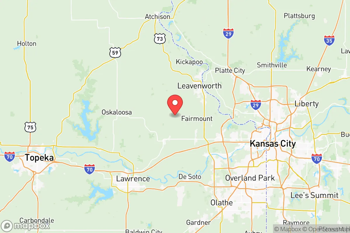
Leavenworth County, Kansas, offers a compelling strategic position for those prioritizing resilience, sitting at a critical distance from major population centers while retaining access to essential infrastructure. Its location along the Missouri River and adjacency to Fort Leavenworth provide natural and man-made buffers that many other areas in the region lack. For a relocator concerned with civic unrest or mass casualty events, this county presents a rare blend of rural defensibility and logistical connectivity, though it is not without its own exposure risks that demand careful consideration.
Geographic position and natural advantages for strategic relocation
Leavenworth County’s geography is its first line of defense. The county is bounded on the east by the Missouri River, which creates a natural barrier against easy approach from that direction, while the rolling hills and wooded bluffs of the area offer both concealment and elevated vantage points. The county seat, Leavenworth city, sits roughly 30 miles northwest of Kansas City’s urban core—close enough to access medical and supply networks, but far enough to avoid the immediate chaos of a metropolitan collapse. The presence of Fort Leavenworth, a major U.S. Army installation, anchors the local economy and provides a stabilizing influence; the base’s military police, emergency services, and disciplined population are a tangible asset in any crisis scenario. The county’s agricultural land, particularly around the towns of Tonganoxie and Lansing, supports small-scale farming and livestock operations, which are critical for long-term food security. The Missouri River also offers a potential water source, though its industrial upstream uses require careful treatment before consumption.
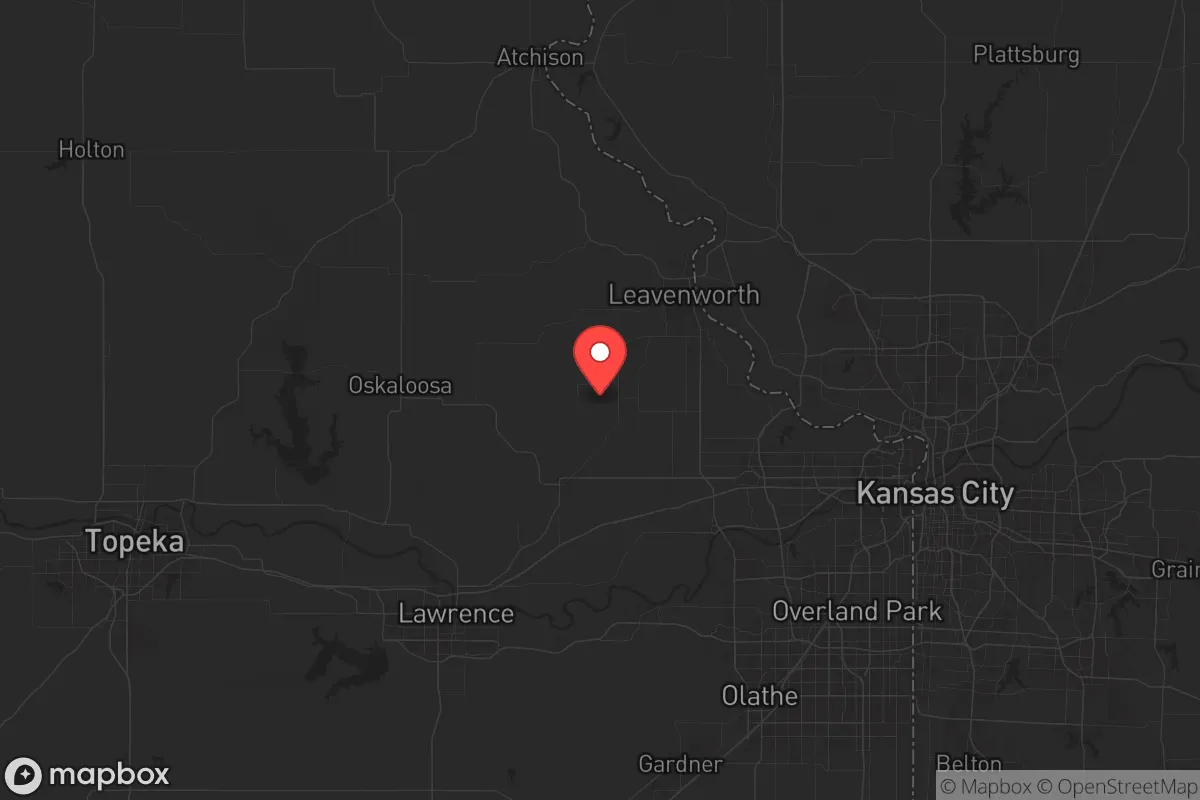
Risks, exposures, and proximity to fallout-relevant landmarks
No strategic assessment is complete without acknowledging the liabilities. Leavenworth County’s greatest exposure is its proximity to the Kansas City metropolitan area, which includes Whiteman Air Force Base (home to B-2 stealth bombers) roughly 70 miles to the southeast, and the Kansas City International Airport—a potential target for air-based threats. The county itself hosts the Leavenworth Federal Penitentiary, a high-security facility that, while not a direct fallout risk, could become a focal point for unrest or evacuation demands during a national emergency. The Missouri River, while a water asset, also carries risk: upstream industrial sites in Kansas City, including chemical plants and rail yards, could release hazardous materials into the waterway during a disaster. The county’s position along Interstate 70 and U.S. Highway 73 means it sits on major evacuation routes, which could become clogged with refugees from the east. For a prepper, this means planning secondary routes and avoiding the main arteries during a crisis. The nearest nuclear power plant is the Wolf Creek Generating Station in Burlington, Kansas, about 120 miles southwest—outside the immediate fallout zone but still within a plausible plume radius depending on wind patterns.
Practical resilience for a relocator: food, water, energy, and defensibility
For a family or individual looking to hunker down, Leavenworth County offers a mixed but workable resilience profile. Water access is the strongest point: the Missouri River and its tributaries, such as Stranger Creek, provide surface water, and the county’s groundwater aquifers are generally reliable for well drilling, though permits and testing are required. Food production is viable, with ample farmland for gardens and small livestock, and local farmers’ markets in Leavenworth and Tonganoxie operate seasonally. However, the county’s soil is primarily clay-loam, which requires amendment for high-yield crops. Energy independence is achievable but not automatic: the area gets moderate sun (about 200 sunny days per year), making solar panels a reasonable investment, and wood-burning stoves are common in rural homes due to the abundance of hardwood forests. Natural gas lines are available in towns but sparse in outlying areas, so propane tanks are a practical backup. Defensibility is the county’s standout feature. The terrain—wooded hills, river bluffs, and winding roads—naturally limits lines of sight and approach vectors. Properties in the unincorporated areas near Basehor or Linwood offer seclusion without total isolation, and the local sheriff’s office maintains a visible presence. The county’s population density is low (roughly 82,000 people across 463 square miles), which reduces competition for resources during a breakdown. That said, the presence of Fort Leavenworth means a significant military population that could be mobilized, which is a double-edged sword: it adds security but also makes the area a potential target for adversaries.
The overall strategic picture for Leavenworth County is one of calculated trade-offs. It is not a remote bunker location—it sits within a day’s drive of multiple major cities and military installations—but it offers a rare combination of natural barriers, water access, and institutional stability that many prepper destinations lack. The county’s conservative lean (it voted +18 for Trump in 2020) aligns with a self-reliant mindset, and local gun culture is strong, with multiple shooting ranges and a high rate of firearm ownership. For a relocator willing to invest in well-drilling, solar panels, and a defensible property in the hills west of the river, Leavenworth County provides a viable base for weathering both slow-burn societal decline and acute crises. The key is to avoid the floodplains near the Missouri, secure a water source independent of municipal systems, and build relationships with the local farming community before the need arises. In a world where proximity to fallout-relevant landmarks is a liability, this county’s position—close enough to matter, far enough to survive—makes it a serious contender for strategic relocation.
* Values derived from national, state, county, city and local statistics and may differ in a specific area. Last updated: 2026-05-27T22:22:45.000Z
Narrative content on this page is AI-generated and may contain mistakes. Verify any details that matter before acting on them.
ReloMaps may earn a commission from affiliate links at no extra cost to you.