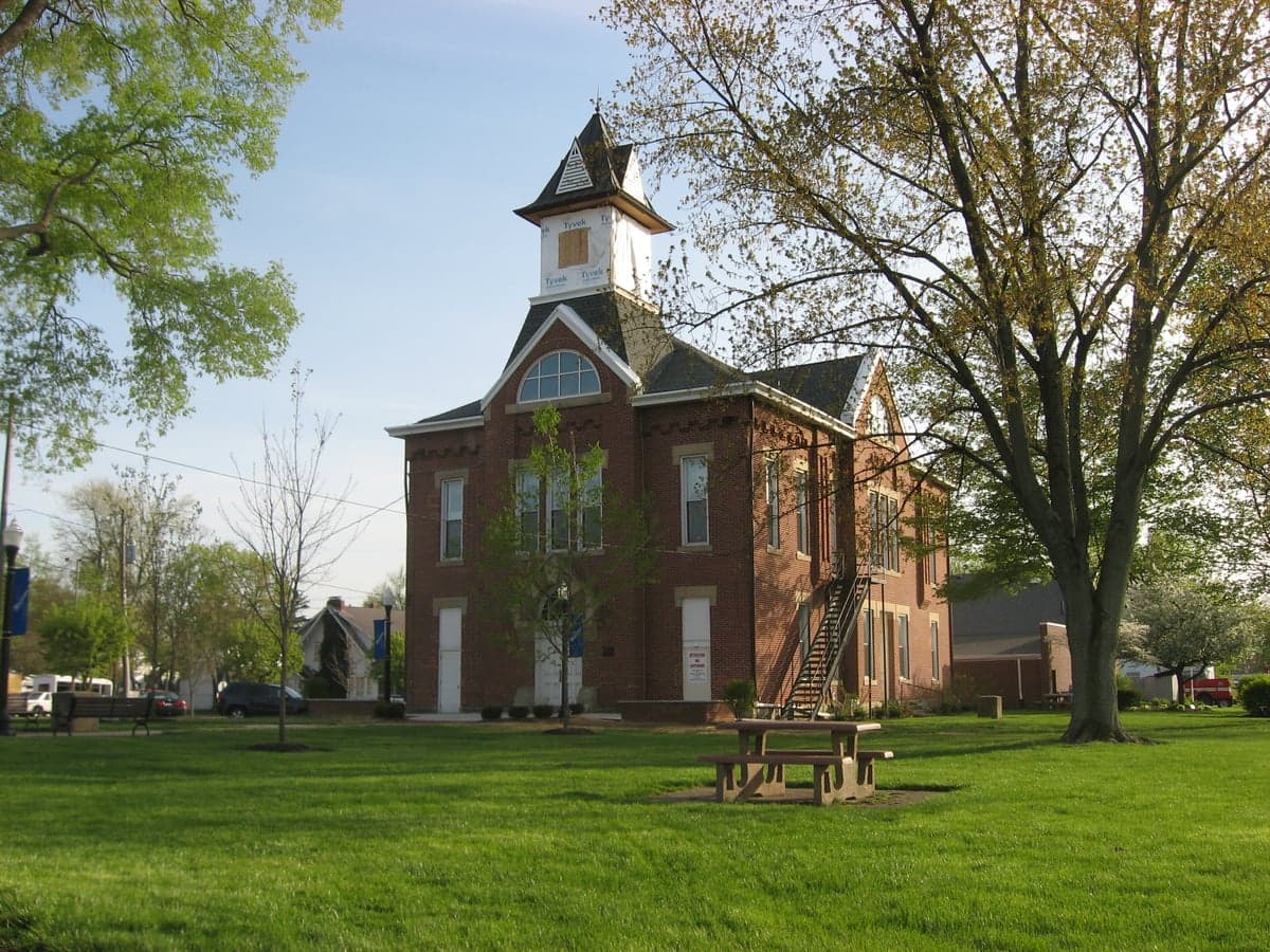
Photo: Wikipedia
Strategic Assessment of Johnstown, OH
Multiple tactical vulnerabilities. Population density, target proximity, or disaster risk are likely compounding. A retreat property and exit planning is required.
What does the Strategic Assessment tell us?
Our Strategic Assessment grades tactical survivability of an area. Major population centers, military targets, fallout zones, natural disasters, and border exposure all drive risk — lower exposure means a more defensible position in a crisis.
This is heavily inspired by Joel Skousen's Strategic Relocation book. Highly recommended you checkout the book ($)What does this tell us?
Our Strategic Assessment grades tactical survivability of an area. Major population centers, military targets, fallout zones, natural disasters, and border exposure all drive risk — lower exposure means a more defensible position in a crisis.
This is heavily inspired by Joel Skousen's Strategic Relocation book. Highly recommended you checkout the book ($)Strategic Pillars

Key Distances
Regional Safe Places
Below is our recommended "safe zones" in Ohio and the surrounding area based on our strategic heuristics. For most people, it's unrealistic to live in a “safe zone” full-time due to work, family or other personal reasons. They tend to be more rural. However, many of these areas are perfect for second homes and retreat properties that double as a vacation home or even a short-term rental.

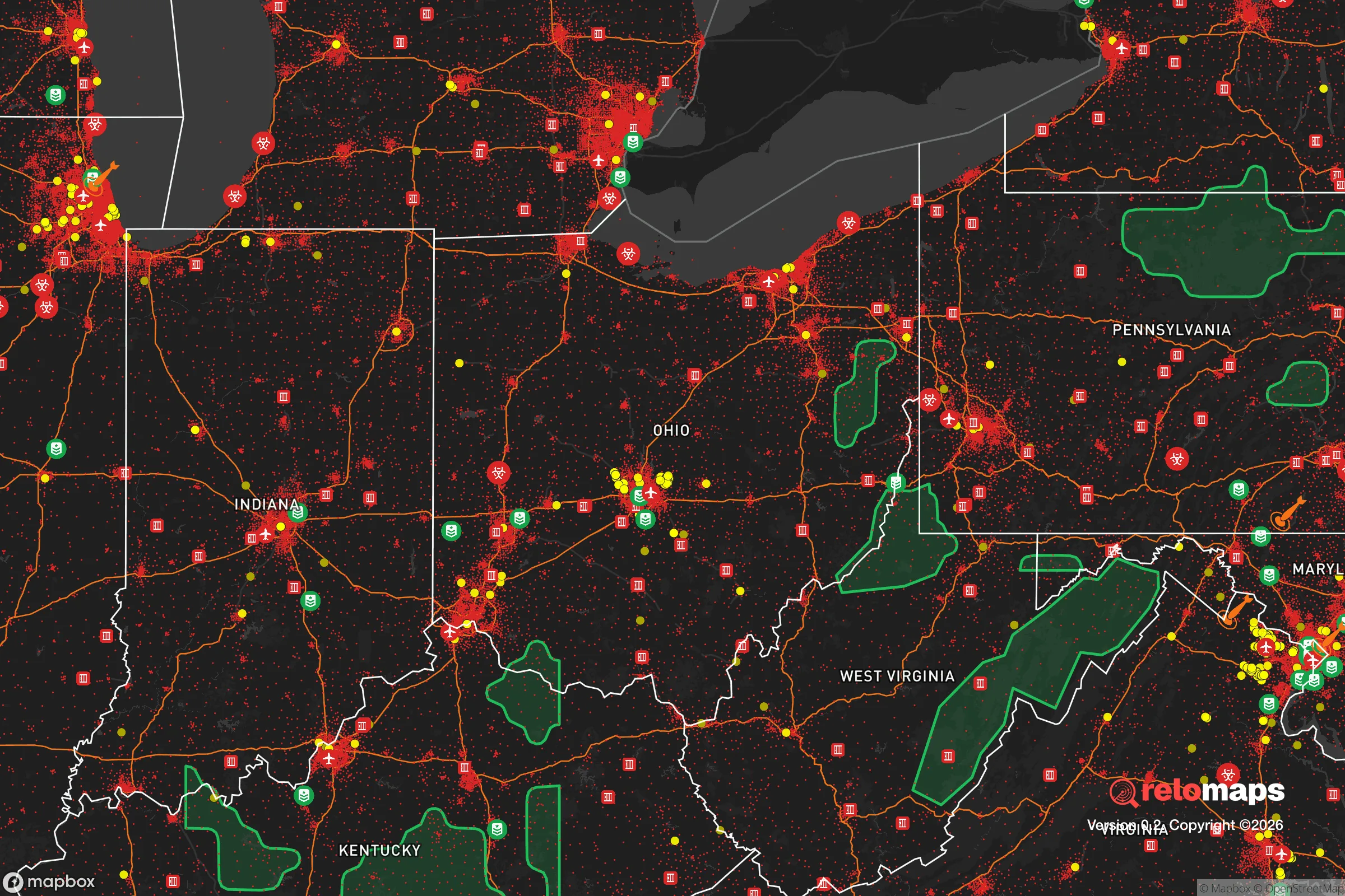


Important Note: For informational purposes only. This does not mean nothing bad ever happens in the green zones. Please use common sense. This is based on public data and modeled with AI. We tried to take a conservative approach but mistakes happen. We update this regularly as new information becomes available.
Solar Generator Recommendations
Backup power matters more here than in safer locations. We've picked three solar generators across budgets and capacity tiers — start with the budget unit if you only need a few essentials, or step up if you want to run a fridge and HVAC for days at a time.

Jackery Portable Power Station Explorer 300
Budget OptionPower on the Go: Weighing only 11 lbs, it's convenient to set up and store with book-sized foldable solar panels

BLUETTI Portable Power Station AC180
Designed for both indoor and outdoor scenarios, AC180 is highly capable as it has a robost capacity and continuous output power.

EF ECOFLOW DELTA Pro Ultra Power Station
Upgraded PickEcoFlow DELTA Pro Ultra is a whole-home energy system designed to grow with your family. Integrated with the Smart Home Panel 2, it scales to meet your evolving energy needs — keeping your home powered, intelligent, and secure through every stage of life.
We earn a commission, at no additional cost to you.
Strategic Assessment Analysis
Johnstown, Ohio, situated in Licking County roughly 35 miles northeast of Columbus, presents a mixed strategic picture for the relocation-minded reader focused on resilience and self-sufficiency. Its primary advantage is a location that balances proximity to a major metropolitan area with a semi-rural buffer, offering access to resources without being directly in the blast zone of a high-value target. However, the area’s growth corridor status and its position relative to regional infrastructure introduce specific vulnerabilities that a serious preparedness-minded individual must weigh carefully.
Geographic position and natural advantages for long-term stability
Johnstown sits on the western edge of the Appalachian foothills, a transition zone that provides slightly more varied topography than the flat farmland to the west. This rolling terrain offers modest defensibility advantages—better line-of-sight for observation, natural drainage, and a few pockets of wooded cover—though it is not mountainous or rugged enough to be a true redoubt. The area lies within the Ohio River watershed, with the Licking River and its tributaries providing surface water sources, though these are not as abundant or reliable as those in the Great Lakes basin to the north. The local geology is primarily glacial till over sedimentary bedrock, meaning groundwater is generally accessible via wells at depths of 50–150 feet, though yields vary significantly by specific lot. For a relocator, this means well-drilling is feasible but not guaranteed to produce high volume, so pre-purchase testing is essential. The climate is temperate continental, with four distinct seasons, adequate rainfall (around 40 inches annually), and a growing season of roughly 170 days—sufficient for serious home food production. The area is not prone to hurricanes, earthquakes, or wildfires, and tornado risk is moderate but lower than in the Plains states. Flooding is the primary natural hazard, particularly along the Licking River floodplain and its smaller creeks; checking FEMA flood maps before buying property is non-negotiable.
Risks, exposures, and proximity to fallout-relevant landmarks
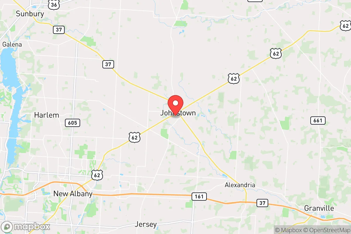
The most significant strategic liability for Johnstown is its location within the Columbus metropolitan statistical area, which includes a major state capital, a large population center (over 2 million), and associated infrastructure. Columbus is a plausible target for a range of man-made disasters, from a conventional attack on government or logistics hubs to a larger-scale event. Johnstown’s 35-mile distance places it outside the immediate blast and thermal zones for most plausible scenarios, but within the range of fallout drift depending on wind patterns. The prevailing winds in central Ohio are from the west-southwest, meaning fallout from a Columbus event would likely spread northeast, putting Johnstown in a moderate-risk downwind corridor. Additionally, the area is within 50 miles of Rickenbacker Air National Guard Base and the Columbus Regional Airport Authority complex, both of which have military and logistics significance. To the north, about 60 miles away, lies the Davis-Besse Nuclear Power Station (near Toledo), and to the south, the Perry Nuclear Power Plant (near Cleveland) is roughly 100 miles away—both within the plausible evacuation or contamination zone for a major incident. On the positive side, Johnstown is not near any major chemical or industrial facilities that would create immediate secondary hazards. The area’s growth as a bedroom community for Columbus means population density is increasing, which in a crisis translates to more competition for resources, more traffic on limited road networks (primarily US-62 and OH-37), and a higher likelihood of evacuation bottlenecks. The presence of the Intel semiconductor fabrication complex under construction in nearby New Albany (about 15 miles southwest) adds a new dimension of risk: while it brings economic benefits, it also makes the region a higher-profile target for cyber or physical disruption.
Practical resilience for a relocator: food, water, energy, and defensibility
For a relocator serious about self-sufficiency, Johnstown offers a mixed but workable environment. Food production is viable: the area has fertile silt-loam soils, a decent growing season, and a strong local farming community. The Licking County Soil and Water Conservation District provides resources for small-scale agriculture, and there are several active farmers’ markets and CSAs in the region. However, suburban-style subdivisions with small lots (under 1 acre) limit serious food production; a relocator should target parcels of 5 acres or more for meaningful gardening, orchards, and small livestock. The local climate supports cool-season crops well, but hot summers can stress tomatoes and peppers without irrigation. Water security is the bigger variable. Municipal water in Johnstown comes from the Licking River and is treated at the Johnstown Water Treatment Plant, which is vulnerable to power loss and contamination. A well is the preferred option, but not all lots have suitable aquifers; a backup hand pump or rainwater catchment system is advisable. The area’s annual rainfall is sufficient for rainwater harvesting, with a 1,000-square-foot roof yielding roughly 600 gallons per inch of rain. Energy resilience is achievable: the area has good solar exposure (about 4.5 peak sun hours per day), and net metering is available through AEP Ohio, though grid-tied systems are vulnerable to grid collapse. Off-grid solar with battery storage is feasible but requires significant upfront investment. Wood heating is a practical backup, as firewood is abundant from local forests and woodlots. Defensibility is moderate. The rolling terrain and scattered woodlots provide some cover, but the area is not naturally defensible like a mountain valley. The growing population means more neighbors, which in a crisis could mean more eyes—but also more potential threats. A relocator should prioritize a property with good setback from main roads, a clear view of approaches, and a location off the main evacuation routes (avoiding US-62 and OH-37 corridors). The local law enforcement presence is the Licking County Sheriff’s Office, which is professional but stretched thin in rural areas; response times in a crisis would be long.
The overall strategic picture for Johnstown is one of moderate resilience with specific trade-offs. It offers a genuine semi-rural lifestyle with access to Columbus resources, but its growth trajectory and proximity to a major city and critical infrastructure introduce risks that a serious prepper cannot ignore. The area is not a remote retreat—it is a buffer-zone suburb with some self-sufficiency potential. For a relocator who values community, farmland, and a four-season climate, and who is willing to invest in well water, solar, and a larger property, Johnstown can work. But for those seeking true isolation or a location far from any plausible target, the area falls short. The key is to buy land with water access, avoid floodplains and main roads, and accept that you are trading some security for convenience. If that trade-off aligns with your priorities, Johnstown is a viable option; if not, look further east into the Appalachian foothills or north toward the Lake Erie islands.

* Values derived from national, state, county, city and local statistics and may differ in a specific area. Last updated: 2026-07-15T00:20:41.000Z
Narrative content on this page is AI-generated and may contain mistakes. Verify any details that matter before acting on them.
ReloMaps may earn a commission from affiliate links at no extra cost to you.

