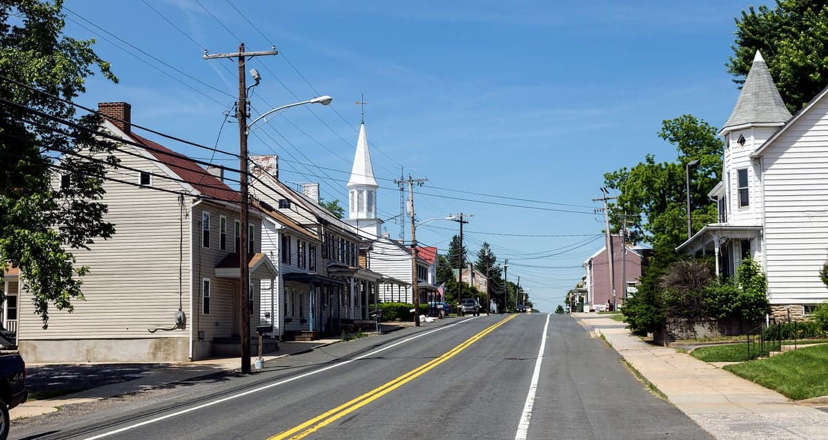
Photo: Wikipedia
Strategic Assessment of Jefferson, MD
Workable tactical position. Some exposure to population density or targets, but generally defensible in a crisis.
What does the Strategic Assessment tell us?
Our Strategic Assessment grades tactical survivability of an area. Major population centers, military targets, fallout zones, natural disasters, and border exposure all drive risk — lower exposure means a more defensible position in a crisis.
This is heavily inspired by Joel Skousen's Strategic Relocation book. Highly recommended you checkout the book ($)What does this tell us?
Our Strategic Assessment grades tactical survivability of an area. Major population centers, military targets, fallout zones, natural disasters, and border exposure all drive risk — lower exposure means a more defensible position in a crisis.
This is heavily inspired by Joel Skousen's Strategic Relocation book. Highly recommended you checkout the book ($)Strategic Pillars

Key Distances
Regional Safe Places
Below is our recommended "safe zones" in Maryland and the surrounding area based on our strategic heuristics. For most people, it's unrealistic to live in a “safe zone” full-time due to work, family or other personal reasons. They tend to be more rural. However, many of these areas are perfect for second homes and retreat properties that double as a vacation home or even a short-term rental.




Important Note: For informational purposes only. This does not mean nothing bad ever happens in the green zones. Please use common sense. This is based on public data and modeled with AI. We tried to take a conservative approach but mistakes happen. We update this regularly as new information becomes available.
Solar Generator Recommendations
Backup power matters more here than in safer locations. We've picked three solar generators across budgets and capacity tiers — start with the budget unit if you only need a few essentials, or step up if you want to run a fridge and HVAC for days at a time.

Jackery Portable Power Station Explorer 300
Budget OptionPower on the Go: Weighing only 11 lbs, it's convenient to set up and store with book-sized foldable solar panels

BLUETTI Portable Power Station AC180
Designed for both indoor and outdoor scenarios, AC180 is highly capable as it has a robost capacity and continuous output power.

EF ECOFLOW DELTA Pro Ultra Power Station
Upgraded PickEcoFlow DELTA Pro Ultra is a whole-home energy system designed to grow with your family. Integrated with the Smart Home Panel 2, it scales to meet your evolving energy needs — keeping your home powered, intelligent, and secure through every stage of life.
We earn a commission, at no additional cost to you.
Strategic Assessment Analysis
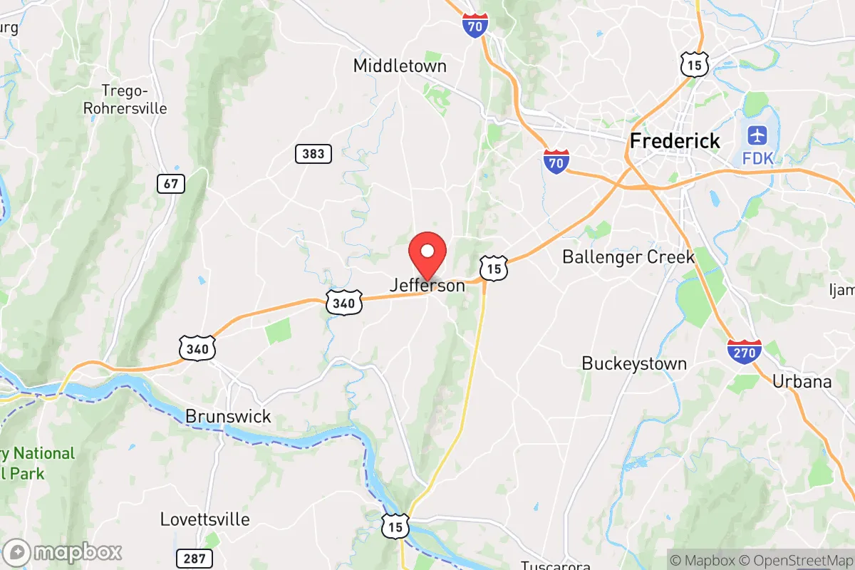
Jefferson, Maryland, offers a compelling strategic position for those prioritizing resilience and self-sufficiency, balancing proximity to major metropolitan resources with the insulating buffer of rural Frederick County. The town itself, with a population hovering around 2,500, sits at a deliberate distance from the denser corridors of I-270 and I-70, yet remains within a 20-minute drive of Frederick city’s hospitals, supply chains, and transportation hubs. This positioning provides a rare combination: access to critical infrastructure without being directly in the path of a major urban collapse or targeted event. For a relocator weighing disaster readiness, Jefferson’s key advantage is its location on the western edge of the Piedmont region, where the terrain begins to rise toward the Blue Ridge Mountains—offering natural drainage, cooler summer temperatures, and a degree of topographic separation from the flood-prone Potomac River basin to the south.
Geographic position and natural advantages for long-term security
Jefferson’s geography is defined by its position along the eastern slope of the Catoctin Mountain range, which acts as a modest but meaningful barrier against weather systems and provides elevated ground for water runoff and communication line-of-sight. The area sits at roughly 500–600 feet above sea level, well above the floodplains of the Potomac and Monocacy Rivers, which have historically flooded communities like Point of Rocks and Brunswick to the south. The underlying geology is primarily limestone and dolomite, which supports reliable groundwater aquifers—a critical factor for well-dependent properties. The surrounding farmland, part of the Frederick County Agricultural Reserve, ensures that development density remains low and that open space buffers the town from industrial or high-traffic corridors. For a reader thinking about long-term security, this means reduced exposure to cascading failures from a single point of disruption—no major rail lines, interstate highways, or power substations sit within the immediate town limits. The nearest major interstate, I-70, runs about 5 miles north, providing evacuation routes toward Hagerstown and the Appalachian region, while U.S. Route 340 offers a secondary corridor west to Harpers Ferry and the Shenandoah Valley. These routes, however, are also potential chokepoints during a mass evacuation, so a relocator should plan for alternative back-road navigation via local roads like Jefferson Pike and Lander Road, which connect to the broader rural network without funneling through a single bottleneck.
Risks, exposures, and proximity to fallout-relevant landmarks
The most significant strategic vulnerability for Jefferson is its proximity to the Washington, D.C. metropolitan area, roughly 50 miles southeast as the crow flies. While this distance provides a meaningful buffer against blast effects or immediate fallout from a conventional or nuclear event targeting the capital, the town lies within the prevailing wind patterns that could carry radioactive debris from a detonation in D.C. or the I-95 corridor. The National Atmospheric Release Advisory Center (NARAC) models for a 10-kiloton surface burst at the National Mall show that Jefferson falls within the moderate fallout zone (roughly 1–10 rem/hour at 1 hour post-detonation) under typical westerly winds, meaning residents would need to shelter in place for at least 48–72 hours and have potassium iodide on hand. Additionally, the town is about 12 miles from Fort Detrick in Frederick, a U.S. Army biodefense laboratory that, while not a nuclear target, could be a secondary target for sabotage or accidental release. On the natural hazard side, Jefferson’s primary risks are severe thunderstorms, occasional tornadoes (Frederick County averages 1–2 tornadoes per year, typically EF0–EF1), and winter ice storms that can knock out power for 3–7 days. The area is not in a designated earthquake zone, and wildfire risk is low due to the mix of farmland and deciduous forest. Flooding is minimal for properties on higher ground, but low-lying areas near Catoctin Creek can see flash flooding during heavy rain events. For a relocator, the key takeaway is that Jefferson’s man-made risks are moderate and manageable with proper preparation, but the town’s location relative to D.C. and Fort Detrick means that a serious event in the capital would have direct consequences here—unlike a more remote location in West Virginia or western Pennsylvania.
Practical resilience for a relocator: food, water, energy, and defensibility
Jefferson’s practical resilience is anchored by its agricultural surroundings and the ability to source food locally without relying on long supply chains. The Frederick County Agricultural Reserve, which covers over 40,000 acres, includes dozens of working farms within a 10-mile radius that produce vegetables, livestock, and dairy. The Jefferson Farmers Market operates seasonally, but year-round food access is available through the nearby Common Market in Frederick and local CSAs like the Catoctin Mountain Farm. For water, the town’s municipal supply comes from the Frederick County Water System, which draws from the Potomac River and is treated at the Potomac River Filtration Plant—a centralized system that is vulnerable to contamination or power loss. However, many homes in the surrounding rural area rely on private wells tapping into the Frederick Valley aquifer, which has a reliable yield of 10–50 gallons per minute at typical depths of 100–300 feet. A relocator should prioritize a property with a well and a backup hand pump or solar-powered pump to ensure water independence. Energy resilience is mixed: Frederick County’s grid is served by Potomac Edison, which has a history of outages during storms (average 1.5–2 hours per year, but with multi-day events during ice storms). Solar adoption is growing, with net metering available, and many rural properties already have propane tanks for heating and cooking. For defensibility, Jefferson’s layout is a traditional small town with a compact core and scattered rural homesteads, meaning that a single-family home on a few acres offers natural standoff distance and multiple egress routes via farm roads. The Frederick County Sheriff’s Office provides law enforcement, but response times in the outer rural areas can be 15–30 minutes, so a relocator should plan for self-defense capability and neighborhood communication via radio or mesh networks. The town’s volunteer fire company (Jefferson Volunteer Fire Company) is well-regarded but relies on mutual aid for major incidents, so fire prevention and on-site suppression tools are essential.
Overall, Jefferson presents a balanced strategic picture for a relocator focused on resilience: it offers genuine agricultural self-sufficiency, reliable water access, and a defensible rural layout, but it is not remote enough to escape the fallout risks or supply chain disruptions of a major D.C.-area event. The town’s greatest strength is its position as a transitional zone—close enough to access Frederick’s hospitals, hardware stores, and emergency services, yet far enough from the urban core to avoid being a primary target or traffic choke point. For a family or individual willing to invest in well water backup, solar power, and a three-month food supply, Jefferson provides a solid foundation for long-term preparedness without the isolation of a deep rural retreat. The key is to treat it as a base camp rather than a bunker: maintain situational awareness of regional events, build relationships with local farmers and neighbors, and have a secondary evacuation plan for a worst-case scenario that pushes you further west into the Appalachian corridor. In the calculus of disaster readiness, Jefferson scores well on practical sustainability but requires honest acknowledgment of its geographic exposure—a trade-off that many relocators will find acceptable given the quality of life and community cohesion the area offers.

* Values derived from national, state, county, city and local statistics and may differ in a specific area. Last updated: 2026-07-22T02:17:08.000Z
Narrative content on this page is AI-generated and may contain mistakes. Verify any details that matter before acting on them.
ReloMaps may earn a commission from affiliate links at no extra cost to you.

