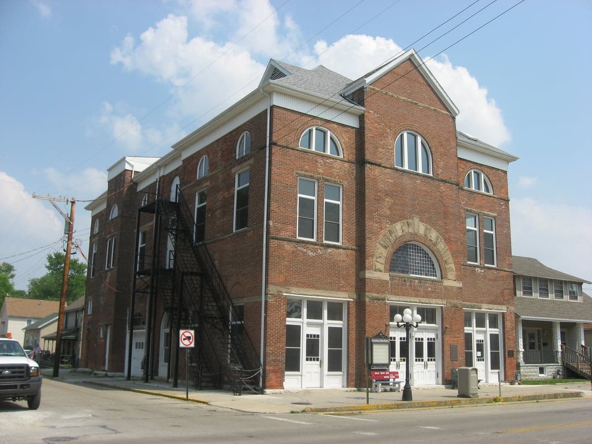
Photo: Wikipedia
Strategic Assessment of Jamestown, OH
Meaningful friction. Expect exposure to either population pressure, blast zones, or natural disaster risk. Consider buying a retreat property.
What does the Strategic Assessment tell us?
Our Strategic Assessment grades tactical survivability of an area. Major population centers, military targets, fallout zones, natural disasters, and border exposure all drive risk — lower exposure means a more defensible position in a crisis.
This is heavily inspired by Joel Skousen's Strategic Relocation book. Highly recommended you checkout the book ($)What does this tell us?
Our Strategic Assessment grades tactical survivability of an area. Major population centers, military targets, fallout zones, natural disasters, and border exposure all drive risk — lower exposure means a more defensible position in a crisis.
This is heavily inspired by Joel Skousen's Strategic Relocation book. Highly recommended you checkout the book ($)Strategic Pillars

Key Distances
Regional Safe Places
Below is our recommended "safe zones" in Ohio and the surrounding area based on our strategic heuristics. For most people, it's unrealistic to live in a “safe zone” full-time due to work, family or other personal reasons. They tend to be more rural. However, many of these areas are perfect for second homes and retreat properties that double as a vacation home or even a short-term rental.

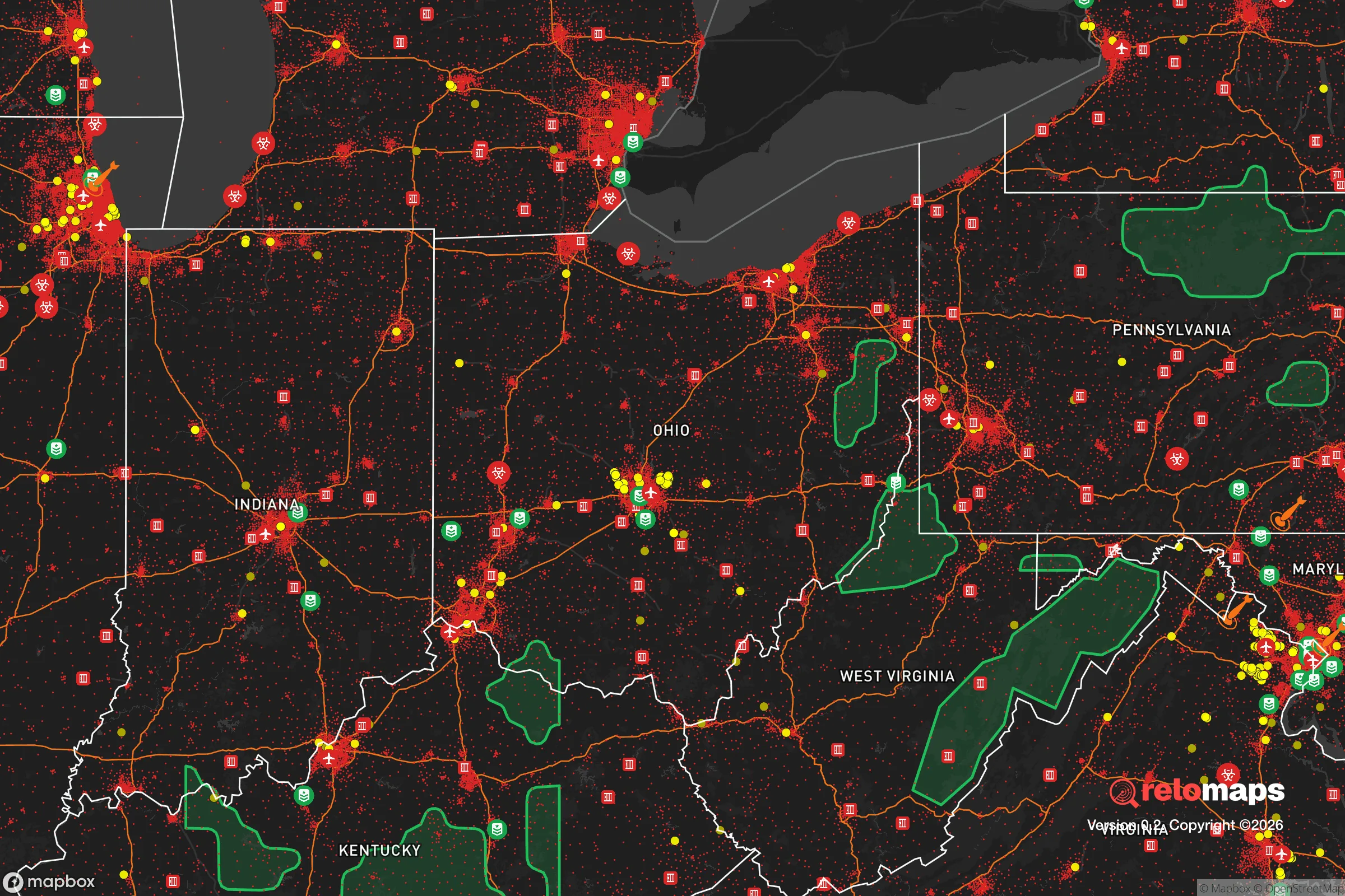


Important Note: For informational purposes only. This does not mean nothing bad ever happens in the green zones. Please use common sense. This is based on public data and modeled with AI. We tried to take a conservative approach but mistakes happen. We update this regularly as new information becomes available.
Solar Generator Recommendations
Backup power matters more here than in safer locations. We've picked three solar generators across budgets and capacity tiers — start with the budget unit if you only need a few essentials, or step up if you want to run a fridge and HVAC for days at a time.

Jackery Portable Power Station Explorer 300
Budget OptionPower on the Go: Weighing only 11 lbs, it's convenient to set up and store with book-sized foldable solar panels

BLUETTI Portable Power Station AC180
Designed for both indoor and outdoor scenarios, AC180 is highly capable as it has a robost capacity and continuous output power.

EF ECOFLOW DELTA Pro Ultra Power Station
Upgraded PickEcoFlow DELTA Pro Ultra is a whole-home energy system designed to grow with your family. Integrated with the Smart Home Panel 2, it scales to meet your evolving energy needs — keeping your home powered, intelligent, and secure through every stage of life.
We earn a commission, at no additional cost to you.
Strategic Assessment Analysis
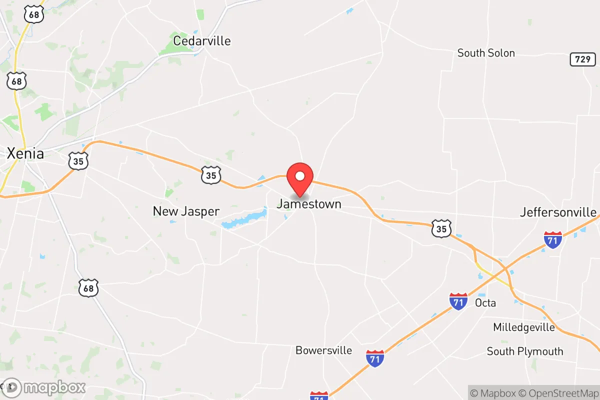
Jamestown, Ohio, presents a mixed strategic picture for the relocation-minded reader focused on resilience and self-sufficiency. Its primary advantage is a quiet, low-profile position in Greene County, roughly 20 miles southeast of Dayton and 40 miles from the Ohio River, placing it within a zone that balances rural seclusion with access to regional infrastructure. However, this same proximity to major population centers and critical infrastructure introduces significant man-made risks that a serious preparedness-minded relocator must weigh against the area's natural advantages.
Geographic position and natural advantages for long-term stability
Jamestown sits in the glaciated till plains of southwestern Ohio, a region characterized by gently rolling hills, fertile soil, and a temperate climate with four distinct seasons. The area's elevation, around 1,050 feet above sea level, places it above the floodplains of the nearby Little Miami River and its tributaries, reducing the risk of catastrophic flooding that plagues lower-lying communities. The local geology is dominated by glacial till and limestone bedrock, which provides stable foundations for structures and, importantly, good potential for groundwater wells—a critical factor for off-grid water security. The surrounding farmland is among the most productive in the state, with corn, soybeans, and wheat being the dominant crops. For a relocator, this means local food production capacity is high, and access to fresh, locally grown produce is feasible through farmers' markets or direct-from-farm purchases. The climate is moderate, with average annual precipitation around 40 inches, evenly distributed throughout the year, which supports rain-fed agriculture and reduces the risk of prolonged drought. Winters are cold but not extreme, with average January lows around 20°F, and summers are warm and humid, with July highs in the mid-80s. This climate pattern is generally favorable for year-round gardening and small-scale livestock operations, provided one accounts for the occasional severe thunderstorm or winter ice event.
Risks, exposures, and proximity to fallout-relevant landmarks
The most significant strategic vulnerability for Jamestown is its location within the broader Dayton-Springfield metropolitan corridor. The area lies within a 30-mile radius of Wright-Patterson Air Force Base, a major U.S. Air Force installation and a primary logistics and research hub. In a conflict scenario involving strategic strikes, Wright-Patterson is a high-value target, and Jamestown's proximity—roughly 25 miles southeast—places it within the zone of potential fallout or secondary effects from a strike on that facility. Additionally, the area is within 50 miles of the Portsmouth Gaseous Diffusion Plant (a decommissioned uranium enrichment facility) and the Fernald Preserve (a former uranium processing site), both of which are legacy Cold War nuclear sites. While these are not active threats, their presence underscores the region's historical and ongoing connection to nuclear infrastructure. Beyond man-made risks, natural hazards are moderate. Tornadoes are a real but statistically low-probability threat; Greene County has experienced F2 and F3 tornadoes in the past, but the local topography does not funnel storms in a way that creates a high-risk corridor. Earthquakes are negligible, as the area is far from active fault lines. The primary natural risk is severe winter weather, including ice storms that can knock out power for days, and occasional flash flooding from intense thunderstorms. For the relocator, the key takeaway is that Jamestown's man-made risk profile—due to its proximity to military and industrial targets—is higher than its natural hazard profile, and this should be a central factor in any preparedness plan.
Practical resilience for a relocator: food, water, energy, and defensibility
For a relocator serious about self-sufficiency, Jamestown offers a workable but not exceptional baseline. Water security is the strongest asset: the area's groundwater is generally of good quality, and many rural properties have existing wells. A new well drilled to 100-200 feet can yield 10-20 gallons per minute, sufficient for a household and small-scale irrigation. However, well water should be tested for agricultural runoff (nitrates) and, in some areas, naturally occurring iron and manganese. Food production is feasible given the fertile soil and long growing season (roughly 170 frost-free days). A half-acre garden can supply a family's vegetables, and local ordinances generally allow for small livestock (chickens, goats, rabbits) on parcels of one acre or more. The local Amish and Mennonite communities, present in nearby communities like Cedarville and Xenia, are a practical resource for knowledge, tools, and trade in self-sufficient skills. Energy resilience is a mixed picture. The grid is served by Dayton Power & Light (now AES Ohio), and outages from storms are common but typically short (under 24 hours). Solar potential is moderate—the area receives about 4.5 peak sun hours per day, which is enough for a grid-tied system with battery backup but not ideal for full off-grid solar without a substantial array. Wood heating is a viable option, as hardwood forests are abundant within a 20-minute drive, and firewood permits are available from the Ohio Department of Natural Resources. Defensibility is limited by the area's open, agricultural terrain. Jamestown itself is a small village (population ~2,000) with a compact layout and limited natural chokepoints. Rural properties offer more privacy and standoff distance, but the flat to gently rolling landscape provides few natural defensive features. The local law enforcement presence is minimal—the Greene County Sheriff's Office covers the area, with response times of 15-30 minutes for rural calls. For a relocator, the practical resilience picture is one of moderate capability: good water and food potential, adequate but not outstanding energy options, and a defensibility profile that relies more on low population density than on natural barriers.
The overall strategic picture for Jamestown is that of a moderately resilient location with clear trade-offs. Its strengths—fertile soil, good groundwater, a moderate climate, and a low-crime, low-density setting—make it a viable choice for a relocator focused on long-term self-sufficiency and a quieter, more grounded lifestyle. Its weaknesses—proximity to high-value military targets, legacy nuclear sites, and the broader Dayton metro area—introduce man-made risks that cannot be ignored. For the reader who is willing to invest in a well, solar or wood backup, and a robust food production system, Jamestown offers a solid foundation. But it is not a remote or hardened location; it is a working agricultural community within striking distance of significant infrastructure. The decision to relocate here should be based on a clear-eyed assessment of whether the area's natural advantages outweigh its exposure to the risks inherent in being part of the American industrial heartland. For those who prioritize community access, fertile land, and a low-key existence over absolute isolation, Jamestown is a defensible choice. For those seeking true strategic depth far from any target, the search should continue further east or south, deeper into Appalachia or the Ohio River Valley.

* Values derived from national, state, county, city and local statistics and may differ in a specific area. Last updated: 2026-08-19T15:25:37.000Z
Narrative content on this page is AI-generated and may contain mistakes. Verify any details that matter before acting on them.
ReloMaps may earn a commission from affiliate links at no extra cost to you.

