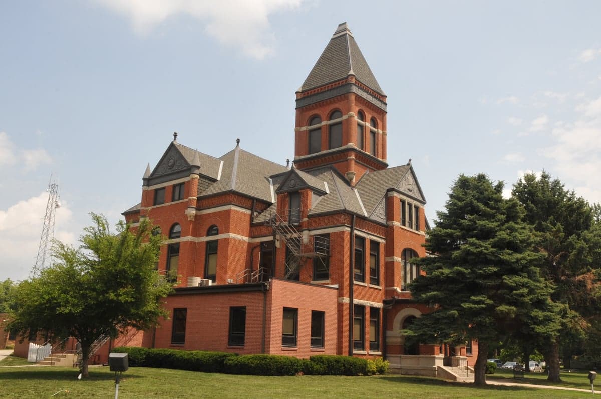
Photo: Wikipedia
Strategic Assessment of Monona County
Strong survivability profile. Good buffer from population centers, with manageable environmental and tactical risks.
What does the Strategic Assessment tell us?
Our Strategic Assessment grades tactical survivability of an area. Major population centers, military targets, fallout zones, natural disasters, and border exposure all drive risk — lower exposure means a more defensible position in a crisis.
This is heavily inspired by Joel Skousen's Strategic Relocation book. Highly recommended you checkout the book ($)What does this tell us?
Our Strategic Assessment grades tactical survivability of an area. Major population centers, military targets, fallout zones, natural disasters, and border exposure all drive risk — lower exposure means a more defensible position in a crisis.
This is heavily inspired by Joel Skousen's Strategic Relocation book. Highly recommended you checkout the book ($)Strategic Pillars

Key Distances
Strategic Assessment Analysis
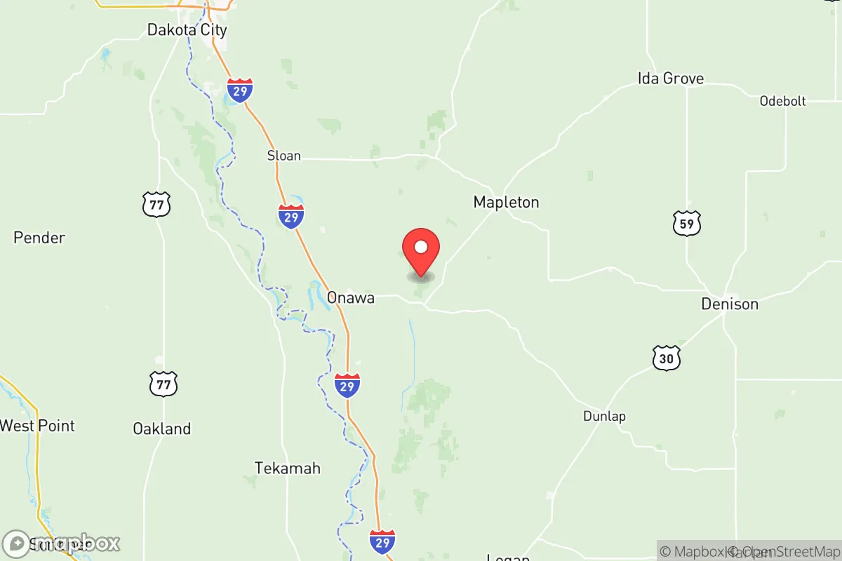
Monona County, Iowa, offers a strategic blend of geographic isolation and practical self-sufficiency that appeals to relocation-minded individuals and families prioritizing resilience. Situated along the Missouri River in the state’s far western edge, the county combines low population density—roughly 8,500 residents spread across 700 square miles—with proximity to regional infrastructure in Sioux City (30 miles north) and Omaha (60 miles south). Its position away from major metropolitan centers and high-value industrial targets provides a meaningful buffer against both natural disasters and man-made disruptions, making it a viable option for those seeking a quieter, more defensible base of operations.
Geographic position and natural advantages for long-term security
Monona County’s location along the Loess Hills—a unique, wind-deposited ridgeline running parallel to the Missouri River—offers both defensive elevation and fertile valley land. The county seat, Onawa, sits near the intersection of U.S. Highway 75 and Iowa Highway 175, providing two primary evacuation routes north toward Sioux City and south toward Interstate 29. The Missouri River forms the western boundary, creating a natural barrier that limits approach vectors from that direction, while the Loess Hills to the east provide elevated vantage points for monitoring surrounding terrain. The county’s agricultural base—primarily corn, soybeans, and livestock—means that local food production is not just possible but already the dominant land use. For a relocator, this translates to direct access to farm-gate produce, local meat processors, and a network of small-scale producers who can supply fresh food even during supply chain disruptions. The nearby Desoto National Wildlife Refuge, straddling the river south of Onawa, adds a buffer of protected land that limits development and preserves wildlife corridors for hunting and foraging.
Risks, exposures, and proximity to fallout-relevant landmarks
While Monona County avoids the high-risk zones of coastal hurricanes, seismic activity, and major industrial corridors, it is not without vulnerabilities. The Missouri River poses a recurring flood risk, particularly in low-lying areas near Whiting and Blencoe, where spring snowmelt and heavy rains can cause the river to overtop levees. The 2019 floods, which inundated portions of the county and damaged roads, serve as a reminder that water management is a year-round concern. On the man-made risk side, the county’s isolation works in its favor: there are no nuclear power plants, major refineries, or large-scale chemical facilities within its borders. The nearest significant industrial target is the Sioux City metro area, which hosts a major ethanol plant, a rail hub, and a small airport—none of which are high-priority strategic targets, but they could draw secondary effects in a widespread conflict scenario. The Offutt Air Force Base near Omaha (roughly 60 miles south) is a more consequential landmark, serving as U.S. Strategic Command headquarters. While Monona County is outside the likely blast radius of a direct strike on Offutt, fallout patterns from a ground burst could drift north or northeast depending on wind conditions. For a relocator, the practical takeaway is that the county’s western edge along the river is more exposed to fallout from a Nebraska-based event, while the eastern Loess Hills offer better shielding and dispersion.
Practical resilience for a relocator: food, water, energy, and defensibility
Monona County’s practical resilience hinges on its agricultural self-sufficiency and low population density. Onawa and Mapleton are the two main population centers, each with fewer than 3,000 residents, meaning that even a modest homestead can achieve a degree of food independence. The county’s groundwater is generally reliable, with the Missouri River alluvial aquifer providing consistent yields for wells, though water quality can vary with agricultural runoff. For energy, the region is served by MidAmerican Energy, which draws from a mix of coal, natural gas, and wind—the latter being abundant in the Loess Hills. Solar potential is moderate, with roughly 200 sunny days per year, making off-grid solar a viable supplement but not a primary solution without battery storage. Defensibility is a mixed picture: the open farmland offers long sightlines but limited natural cover, meaning that a rural homestead would need to rely on distance and terrain rather than concealment. The Loess Hills provide some natural chokepoints, particularly along the narrow ridgeline roads, but the county’s flat interior is difficult to defend against a determined group. For a family, the key advantage is the low likelihood of being targeted—Monona County has no strategic value to an adversary—and the ability to build a self-reliant lifestyle without the constant noise and pressure of urban life. Local law enforcement is limited, with the sheriff’s office covering the entire county, so community networks and personal preparedness are essential.
Overall, Monona County presents a balanced strategic picture for the resilience-minded relocator. Its strengths lie in geographic isolation, agricultural abundance, and low exposure to high-value targets, while its weaknesses center on flood risk along the Missouri River and the open, defensively challenging terrain of the flat farmland. For someone willing to invest in flood mitigation, well water, and community ties, the county offers a realistic path to self-sufficiency without the extreme remoteness of the Mountain West. The proximity to Sioux City and Omaha provides access to medical care, supplies, and transportation hubs when needed, while the county itself remains a quiet, low-profile base. It is not a fortress, but it is a solid, livable option for those who prioritize practical resilience over dramatic isolation.

* Values derived from national, state, county, city and local statistics and may differ in a specific area. Last updated: 2026-10-28T01:03:20.000Z
Narrative content on this page is AI-generated and may contain mistakes. Verify any details that matter before acting on them.
ReloMaps may earn a commission from affiliate links at no extra cost to you.

