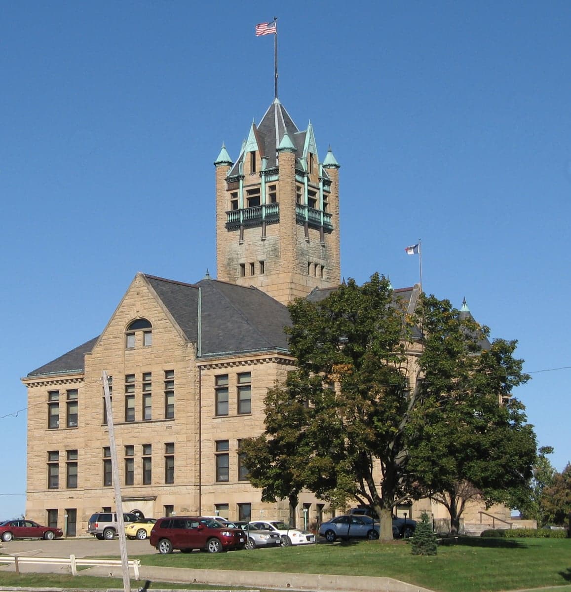
Photo: Wikipedia
Strategic Assessment of Johnson County
Workable tactical position. Some exposure to population density or targets, but generally defensible in a crisis.
What does the Strategic Assessment tell us?
Our Strategic Assessment grades tactical survivability of an area. Major population centers, military targets, fallout zones, natural disasters, and border exposure all drive risk — lower exposure means a more defensible position in a crisis.
This is heavily inspired by Joel Skousen's Strategic Relocation book. Highly recommended you checkout the book ($)What does this tell us?
Our Strategic Assessment grades tactical survivability of an area. Major population centers, military targets, fallout zones, natural disasters, and border exposure all drive risk — lower exposure means a more defensible position in a crisis.
This is heavily inspired by Joel Skousen's Strategic Relocation book. Highly recommended you checkout the book ($)Strategic Pillars

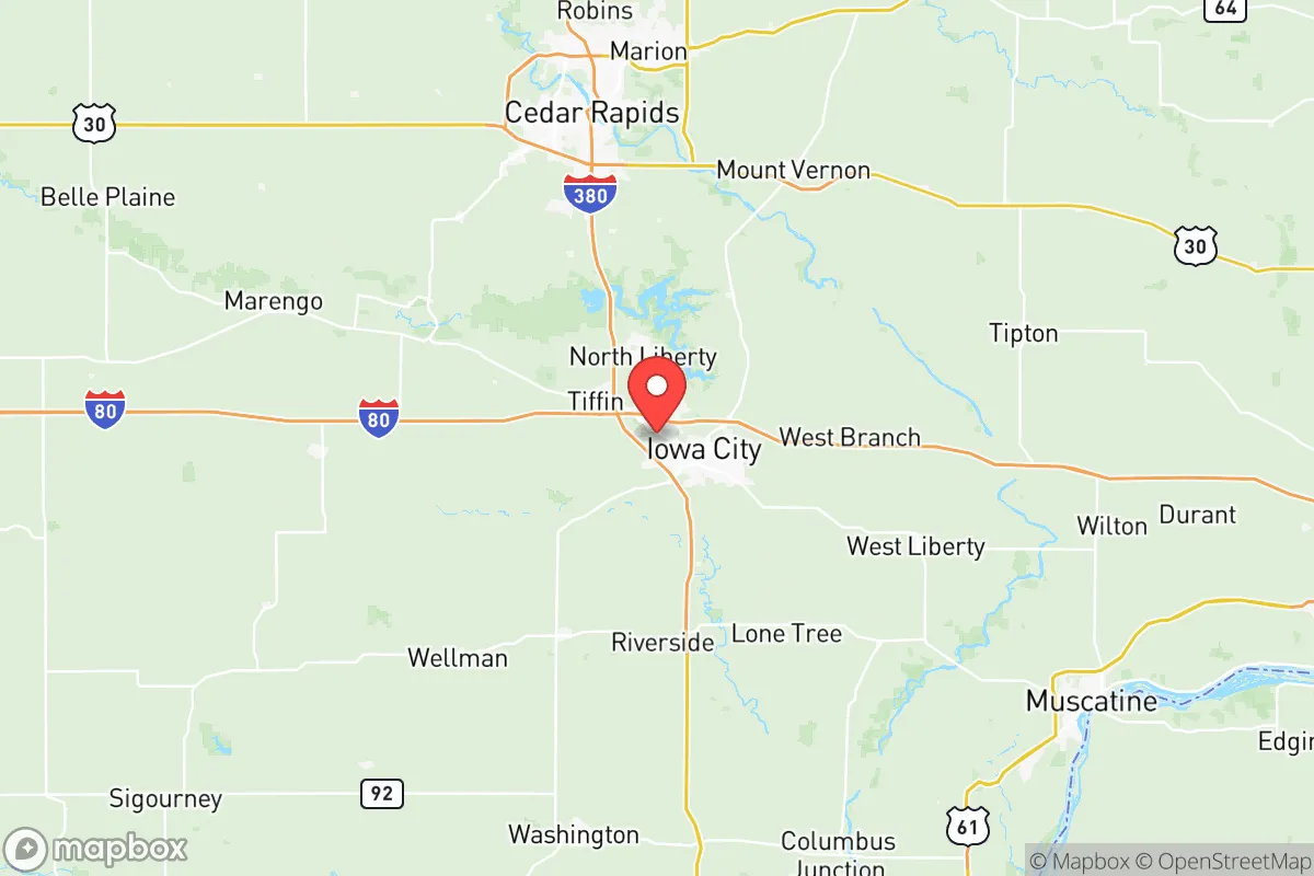
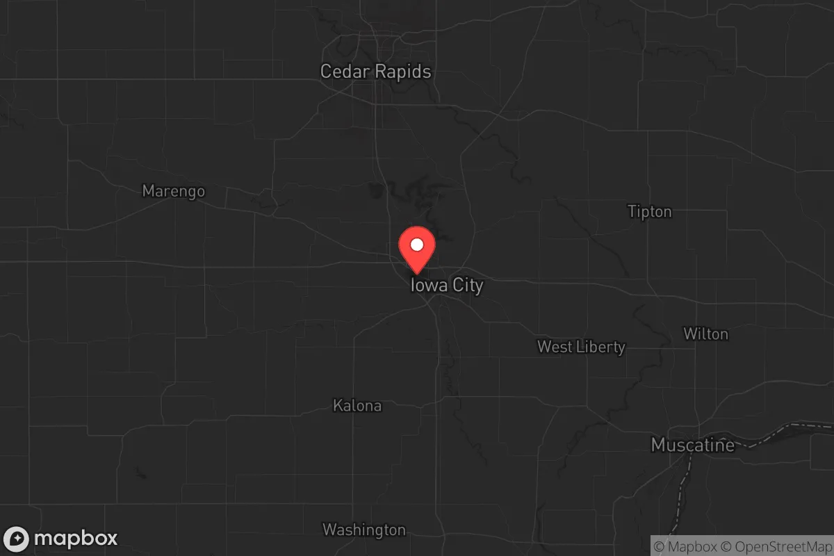
Key Distances
Strategic Assessment Analysis
Johnson County, Iowa, offers a strategic paradox for the conservative prepper: it sits in the heart of the Midwest’s breadbasket, far from coastal chaos and major military targets, yet its anchor city, Iowa City, is a deep-blue university town that could become a flashpoint during civil unrest. The county’s resilience lies in its agricultural abundance and distance from the nation’s primary fallout corridors, but its proximity to the University of Iowa and the regional medical complex introduces a unique set of risks. For a relocator weighing long-term sustainability against exposure to urban instability, this area demands a clear-eyed assessment of both its natural advantages and its vulnerabilities.
Geographic position and natural advantages for long-term sustainability
Johnson County sits in eastern Iowa, roughly 30 miles south of Cedar Rapids and 100 miles west of the Mississippi River. Its position in the Iowa River Valley provides rich, tillable soil and reliable water access—two non-negotiable assets for any serious prepper. The county is part of the Corn Belt, meaning local agriculture is not just a hobby but a dominant economic force. In a collapse scenario, this translates to food security: you’re surrounded by farms producing grain, livestock, and dairy, with the Iowa City Farmers Market and dozens of roadside stands offering direct-to-consumer produce even in normal times. The terrain is gently rolling, with wooded areas along the Iowa River and the Coralville Reservoir, which provides a substantial freshwater reserve. The reservoir, created by the Coralville Dam, holds over 10 billion gallons of water—a critical buffer during drought or infrastructure failure. The county’s population density is low outside the Iowa City-Coralville-North Liberty corridor, with vast stretches of rural land that offer defensible homesteads. Winters are harsh, with average January lows around 14°F, but that same climate discourages the mass migration that warmer regions might see during a crisis. For a relocator, the key takeaway is that Johnson County has the raw resources—water, soil, and space—to support a semi-self-sufficient lifestyle, provided you secure a property away from the urban core.
Risks, exposures, and proximity to fallout-relevant landmarks
The most significant risk in Johnson County is its proximity to the University of Iowa in Iowa City, a major research institution with a hospital system that draws tens of thousands of people daily. In a civil unrest or mass casualty event, the university and its adjacent medical complex—including the University of Iowa Hospitals and Clinics, a Level 1 trauma center—would become a magnet for desperate crowds, government response, and potential targeting. The county also hosts the Iowa City VA Health Care System, which could be a focal point for veteran-related unrest or resource competition. While Johnson County is not near a major military base—the closest is Fort McCoy in Wisconsin, about 150 miles north—it lies within 200 miles of the Omaha Strategic Air Command area (Offutt Air Force Base) and the Rock Island Arsenal in Illinois. In a nuclear exchange, these are high-priority targets, and Johnson County sits downwind of potential fallout patterns from strikes on those installations. The county’s own infrastructure—the Coralville Dam and the Iowa City Municipal Airport—are minor but could be secondary targets for disruption. Additionally, the county’s reliance on the Iowa River for water and transport means a dam failure or contamination event upstream could cripple the region. For the prepper, the calculus is clear: Johnson County avoids the worst of coastal and urban-target risks, but it is not a fallout-free zone. You need a plan for sheltering in place for at least two weeks post-event, with a focus on filtration and stockpiling.
Practical resilience for a relocator: food, water, energy, and defensibility
Food security in Johnson County is above average for the Midwest. The county has over 1,000 farms, with a heavy emphasis on corn, soybeans, and livestock. For a relocator, this means you can barter, buy direct, or grow your own with relative ease. The Iowa City Food Co-op and local CSAs provide organic options, but the real value is in the rural network of producers who sell meat, eggs, and vegetables without government oversight. Water is abundant from the Coralville Reservoir and the Iowa River, but you must treat it—agricultural runoff is a real concern, with nitrates and pesticides common. A good well on a rural property, tested and maintained, is your best bet. Energy is a mixed bag: the county is served by MidAmerican Energy, which relies on a mix of coal, wind, and natural gas. The Duane Arnold Energy Center, a nuclear plant near Palo (about 20 miles north), was decommissioned in 2020, removing a major fallout risk but also a power source. Solar is viable, with the county averaging 200 sunny days per year, but winter cloud cover can be a problem. Defensibility is the weak point. The county’s terrain is open farmland, offering little natural cover. A rural homestead with a good line of sight and a perimeter of woods or creeks is ideal, but you’ll need to invest in security—motion lights, fencing, and a reliable community network. The North Liberty and Tiffin areas are growing fast, with new subdivisions that offer anonymity but also proximity to potential looters. The Solon and Lone Tree areas, further from the urban core, provide better defensibility with smaller populations and more self-reliant neighbors. For a single individual or family, the strategy is to buy land in the county’s southern or eastern townships, away from the I-80 corridor that runs through the north, which would be a primary evacuation route during a crisis.
The overall strategic picture for Johnson County is one of cautious viability for the conservative prepper. It offers genuine agricultural and water advantages that many regions lack, and its distance from coastal megacities and primary military targets reduces the likelihood of direct fallout. However, the presence of the University of Iowa and its associated infrastructure creates a population-density risk that cannot be ignored. In a slow-burn collapse, the county’s rural areas could become a haven for those who prepared early, with strong community ties and local food networks. In a fast-moving disaster—a nuclear strike on Omaha or a pandemic surge—the urban corridor from Iowa City to Coralville would become a liability, drawing in refugees and straining resources. The smart play is to secure a property in a low-density township like Oxford or Shueyville, build a network with like-minded neighbors, and maintain a low profile. Johnson County is not a fortress, but it is a solid base of operations for those willing to put in the work. The key is to treat it as a long-term investment in resilience, not a quick escape from the chaos.
* Values derived from national, state, county, city and local statistics and may differ in a specific area. Last updated: 2026-05-15T02:25:23.000Z
Narrative content on this page is AI-generated and may contain mistakes. Verify any details that matter before acting on them.
ReloMaps may earn a commission from affiliate links at no extra cost to you.