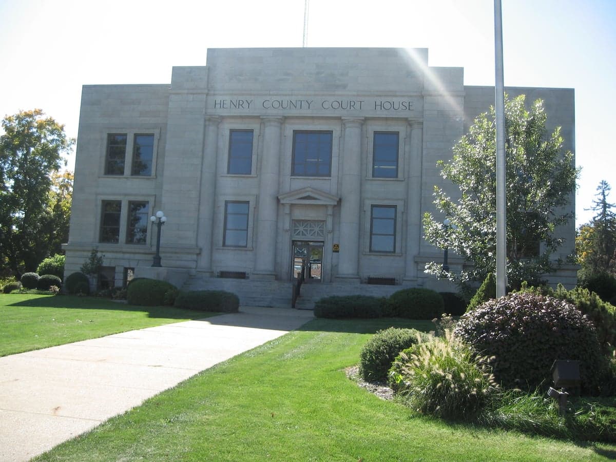
Photo: Wikipedia
Strategic Assessment of Henry County
Workable tactical position. Some exposure to population density or targets, but generally defensible in a crisis.
What does the Strategic Assessment tell us?
Our Strategic Assessment grades tactical survivability of an area. Major population centers, military targets, fallout zones, natural disasters, and border exposure all drive risk — lower exposure means a more defensible position in a crisis.
This is heavily inspired by Joel Skousen's Strategic Relocation book. Highly recommended you checkout the book ($)What does this tell us?
Our Strategic Assessment grades tactical survivability of an area. Major population centers, military targets, fallout zones, natural disasters, and border exposure all drive risk — lower exposure means a more defensible position in a crisis.
This is heavily inspired by Joel Skousen's Strategic Relocation book. Highly recommended you checkout the book ($)Strategic Pillars

Key Distances
Strategic Assessment Analysis
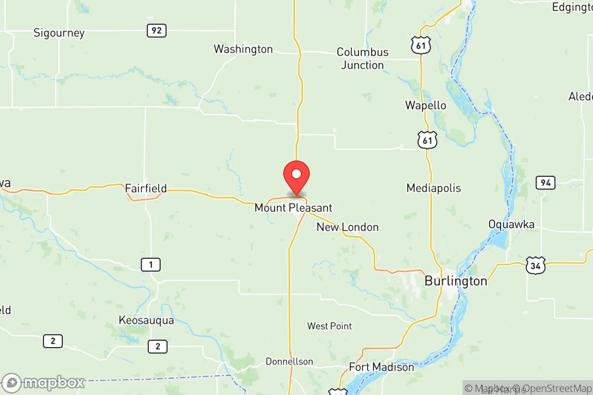
Henry County, Iowa, offers a compelling mix of Midwestern stability and strategic depth for those prioritizing resilience and self-sufficiency. Located in the southeastern part of the state, roughly 45 miles west of the Mississippi River and 30 miles north of the Missouri state line, the county provides a buffer from major metropolitan chaos while retaining access to critical supply chains. Its seat, Mount Pleasant, anchors a region that has historically weathered economic shifts and natural challenges with a quiet, agricultural pragmatism that appeals to families and individuals seeking a defensible, low-drama base of operations.
Geographic position and natural advantages for long-term stability
Henry County sits in a transition zone between the rolling hills of Southern Iowa and the flatter, more fertile plains to the north. This topography offers a subtle but real defensive advantage: the terrain is not so rugged as to hinder farming or construction, but it provides enough variation to disrupt line-of-sight and offer natural drainage. The county is drained by the Skunk River and its tributaries, which flow southeast toward the Mississippi, ensuring a reliable surface water source even in drought years. The area’s position places it outside the direct blast and fallout zones of major strategic targets. The nearest large city is Iowa City, about 60 miles north, while the Quad Cities (Davenport, Bettendorf, Rock Island, Moline) lie roughly 70 miles northeast. The Des Moines metro area is about 90 miles northwest. None of these are primary nuclear targets, but their distance still matters: Henry County is far enough from any likely first-strike target to avoid immediate devastation, yet close enough to benefit from regional medical and logistical networks if they survive. The county’s agricultural base is its greatest natural advantage. Over 90% of the land is farmland, primarily corn and soybeans, with significant livestock operations. This means local food production is not a theoretical exercise—it is the economic backbone. For a relocator, this translates to direct access to fresh produce, meat, and dairy through local farmers’ markets, CSAs, and direct farm sales, particularly around Mount Pleasant, New London, and Winfield.
Risks, exposures, and proximity to fallout-relevant landmarks
No strategic assessment is complete without acknowledging vulnerabilities. Henry County’s primary man-made risk comes from its proximity to the Burlington Northern Santa Fe (BNSF) rail line and the adjacent U.S. Highway 34, which runs east-west through the county. This rail corridor carries hazardous materials, including anhydrous ammonia for fertilizer, propane, and crude oil from the Bakken fields. A derailment or intentional sabotage near Mount Pleasant or the small town of Salem could release toxic clouds or ignite fires, though the rural nature of the county means population density is low enough to allow for evacuation or sheltering. The county is also within 100 miles of the Iowa Army Ammunition Plant in Middletown (Des Moines County), a major conventional munitions facility. While not a nuclear target, it is a plausible sabotage or accident risk. On the natural disaster front, Henry County sits in Tornado Alley’s eastern fringe. The 2013 Washington, Illinois tornado, which devastated a town just 90 miles east, serves as a reminder that violent EF-3 and EF-4 storms are possible. Flooding along the Skunk River and its tributaries is a recurring issue, particularly in low-lying areas near Mount Pleasant and the unincorporated community of Hillsboro. However, the county’s floodplain management is competent, and most residential development sits on higher ground. The absence of any nuclear power plant, major military base, or petrochemical refinery within 50 miles is a significant positive. The nearest nuclear plant is the Quad Cities Generating Station, 70 miles northeast, which is a boiling water reactor—a target, but far enough that fallout would be diluted and wind-dependent. No major dams upstream pose catastrophic flood risk; the closest large impoundment is Lake Rathbun, 40 miles northwest, which is a recreational reservoir, not a flood-control dam.
Practical resilience for a relocator: food, water, energy, and defensibility
For someone serious about self-sufficiency, Henry County delivers on the basics. Food: The local agricultural economy means that even in a supply-chain disruption, the county would have a surplus of calories. The Henry County Farmers Market in Mount Pleasant operates from May through October, and year-round you can buy directly from operations like the Milton Creamery (famous for its Prairie Breeze cheddar) or Stringtown Grocery in New London. Hunting and fishing are viable: deer are abundant, and the Skunk River offers catfish and bass. Water: The county’s primary aquifer is the Cambrian-Ordovician system, which provides reliable groundwater at depths of 200-400 feet. Most rural homes have private wells, and the city of Mount Pleasant draws from a wellfield that has never gone dry. Surface water from the Skunk River is treatable with basic filtration. Energy: Henry County is served by Alliant Energy, which provides electricity from a mix of coal, natural gas, and wind. The county has several commercial wind turbines, and residential solar is growing. Net metering is available, and the relatively flat, open terrain makes small-scale wind or solar practical. For backup, propane is widely available, and wood heating is common in rural areas—the county is 30% forested, mostly along waterways. Defensibility: The county’s low population density (about 20,000 people across 435 square miles) means that in a crisis, you are not competing with millions for resources. The county seat, Mount Pleasant (pop. ~8,500), is the only real population center. The rest of the county is a patchwork of small towns—Wayland, Olds, Rome, Salem—each with a few hundred people. This makes the area inherently defensible: choke points are few, and the open farmland provides long sightlines. The local sheriff’s office is professional but small; in a prolonged emergency, communities would need to rely on mutual aid and neighborhood organization. The strong tradition of volunteer fire departments and church-based networks in towns like Salem and Winfield suggests a social fabric that would hold together under stress.
Overall, Henry County presents a balanced strategic picture for the resilience-minded relocator. It avoids the high-risk exposure of coastal or industrial zones while retaining the agricultural and water resources necessary for long-term sustainability. Its weaknesses—tornado risk, rail hazards, and a modest local economy—are manageable with preparation and are far outweighed by the advantages of low population density, arable land, and a community culture that still values self-reliance. For a family or individual looking to plant roots in a place that can weather both economic storms and actual storms, Henry County, Iowa, deserves serious consideration. It is not a fortress, but it is a solid, quiet, and capable base.

* Values derived from national, state, county, city and local statistics and may differ in a specific area. Last updated: 2026-10-17T01:14:35.000Z
Narrative content on this page is AI-generated and may contain mistakes. Verify any details that matter before acting on them.
ReloMaps may earn a commission from affiliate links at no extra cost to you.

