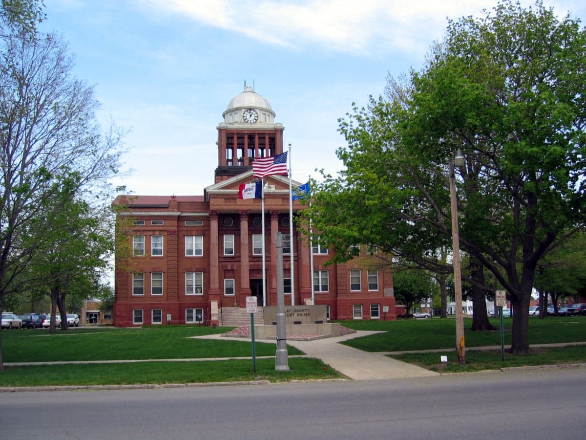
Photo: Wikipedia
Strategic Assessment of Clay County
Strong survivability profile. Good buffer from population centers, with manageable environmental and tactical risks.
What does the Strategic Assessment tell us?
Our Strategic Assessment grades tactical survivability of an area. Major population centers, military targets, fallout zones, natural disasters, and border exposure all drive risk — lower exposure means a more defensible position in a crisis.
This is heavily inspired by Joel Skousen's Strategic Relocation book. Highly recommended you checkout the book ($)What does this tell us?
Our Strategic Assessment grades tactical survivability of an area. Major population centers, military targets, fallout zones, natural disasters, and border exposure all drive risk — lower exposure means a more defensible position in a crisis.
This is heavily inspired by Joel Skousen's Strategic Relocation book. Highly recommended you checkout the book ($)Strategic Pillars

Key Distances
Strategic Assessment Analysis
Clay County, Iowa, offers a compelling strategic profile for relocators prioritizing resilience and self-sufficiency, balancing the quiet stability of the rural Midwest with a location that avoids the highest-risk corridors of the nation. Situated in the northwest part of the state, the county is anchored by the city of Spencer, its economic and administrative hub, and includes smaller communities like Peterson, Royal, and Dickens. The area’s primary advantage is its position far from major metropolitan targets, nuclear power plants, and strategic military installations, making it a low-priority zone in a national disruption scenario while still providing access to essential resources and regional infrastructure.
Geographic position and natural advantages for long-term stability
Clay County sits in the heart of the Iowa Great Lakes region, a landscape defined by glacial terrain, abundant surface water, and fertile agricultural land. The county is bordered by the Little Sioux River and contains numerous natural lakes, including the connected chain of East Okoboji Lake, West Okoboji Lake, and Spirit Lake, which lie just north of the county line in Dickinson County but directly influence the region’s hydrology and microclimate. This concentration of freshwater resources is a significant strategic asset: the area is not dependent on deep aquifer pumping alone, and surface water availability provides a buffer against drought conditions that affect other parts of the Plains. The terrain is gently rolling, offering natural drainage and some defensible high ground near the lakes, though the county is not mountainous. Winters are cold and snowy, which can be a hardship but also a natural barrier to movement and a check on population influx. The growing season is reliable enough for substantial home food production, and the surrounding countryside is dominated by row crops—corn and soybeans—and livestock operations, meaning the local food supply chain is short and robust. Spencer itself is a regional trade center with a hospital, airport, and rail connections, providing logistical redundancy without the congestion of a major city.
Risk exposure and proximity to fallout-relevant landmarks
Clay County’s risk profile is favorable compared to most of the United States, but it is not without vulnerabilities. The primary natural hazard is severe weather: the county lies in Tornado Alley, and violent storms, large hail, and damaging winds are annual occurrences. Spencer experienced a destructive EF-3 tornado in 2022 that caused significant damage to the downtown area, a reminder that even low-population areas are not immune to extreme weather events. Flooding along the Little Sioux River and around the lake basins is a periodic concern, particularly during rapid snowmelt or heavy spring rains. Winter blizzards and ice storms can isolate rural areas for days, making vehicle preparedness and home heating fuel storage essential. From a man-made risk standpoint, the county’s advantages are pronounced. There are no nuclear power plants within 100 miles; the nearest major facility is the Fort Calhoun plant near Omaha, roughly 120 miles southwest. No major oil refineries, chemical weapons depots, or strategic military bases are nearby. The closest significant military installation is Camp Dodge in Johnston, near Des Moines, about 150 miles southeast—a National Guard training center, not a primary target. The nearest large population centers—Sioux Falls (75 miles northwest), Sioux City (70 miles southwest), and Des Moines (150 miles southeast)—are moderate in size and unlikely to be primary targets in a major conflict. This distance from high-value targets dramatically reduces the risk of fallout, secondary attacks, or refugee surges compared to areas near the coasts, the Interstate 35 corridor, or the Mississippi River industrial belt. The county’s low population density (roughly 16,000 residents across 570 square miles) further reduces its attractiveness as a target and its vulnerability to cascading infrastructure failures.
Practical resilience for a relocator: food, water, energy, and defensibility
For a relocator focused on self-sufficiency, Clay County offers a strong baseline that requires active preparation to fully realize. Food security is the county’s standout strength: the surrounding agricultural economy means fresh produce, meat, and dairy are locally available even in normal times, and the soil quality supports serious gardening and small-scale farming. Spencer hosts a weekly farmers market during the growing season, and the county’s grain elevators and livestock auctions provide a direct link to bulk food sources. Hunting and fishing are viable supplemental food strategies—deer, waterfowl, and game birds are abundant, and the lakes and rivers support walleye, northern pike, and panfish. Water security is also above average: the county’s glacial lakes and the Little Sioux River provide surface water that can be treated with basic filtration, and groundwater is accessible via shallow wells in most areas. However, relocators should verify well depth and water quality on any property, as agricultural runoff can affect nitrate levels. Energy resilience is more mixed. The regional grid is served by MidAmerican Energy, which relies on a mix of coal, natural gas, and wind. Clay County is in a wind-rich area, and small-scale wind turbines or solar panels are viable for off-grid setups, though winter cloud cover and snow accumulation can reduce solar output. Natural gas is available in Spencer and some towns, but rural properties typically rely on propane or heating oil, which require storage and supply chain access. Firewood is abundant in the county’s riparian areas and shelterbelts, providing a backup heating source. Defensibility is moderate. The open agricultural landscape offers long sightlines but limited cover, making a rural homestead relatively easy to monitor but also exposed. The county’s road network is sparse enough that choke points exist at bridges over the Little Sioux River and at the few paved highways (primarily US 71, IA 9, and IA 86). Spencer’s downtown grid is compact and could be secured, but the surrounding countryside is too open for easy perimeter defense. The local population is generally self-reliant and community-oriented, with a strong tradition of mutual aid among farmers and rural residents, which is a social resilience factor that cannot be overstated. The county’s law enforcement presence is limited—the Clay County Sheriff’s Office and Spencer Police Department are small—so in a prolonged disruption, communities would need to organize their own security.
The overall strategic picture for Clay County is one of low risk and moderate opportunity. It is not a fortress, nor is it a survivalist’s paradise—it is a functional, quiet corner of the Midwest where a prepared individual or family can achieve a high degree of self-sufficiency without the extreme isolation of the Mountain West or the climate challenges of the northern border. The county’s greatest weakness is its distance from specialized medical care and industrial supply chains; a major injury or equipment failure could be serious. Its greatest strength is its invisibility: it is unlikely to be on anyone’s target list, and its agricultural base means that food will be the last resource to run short. For a relocator who values stability, community, and the ability to ride out disruptions on their own land, Clay County deserves serious consideration as a base of operations.

* Values derived from national, state, county, city and local statistics and may differ in a specific area. Last updated: 2026-07-09T20:45:34.000Z
Narrative content on this page is AI-generated and may contain mistakes. Verify any details that matter before acting on them.
ReloMaps may earn a commission from affiliate links at no extra cost to you.

