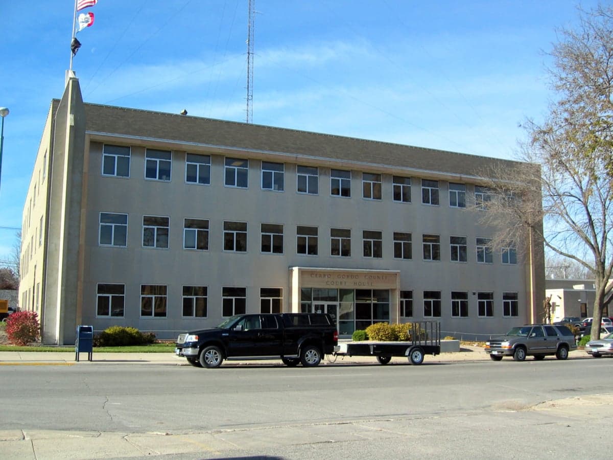
Photo: Wikipedia
Strategic Assessment of Cerro Gordo County
Workable tactical position. Some exposure to population density or targets, but generally defensible in a crisis.
What does the Strategic Assessment tell us?
Our Strategic Assessment grades tactical survivability of an area. Major population centers, military targets, fallout zones, natural disasters, and border exposure all drive risk — lower exposure means a more defensible position in a crisis.
This is heavily inspired by Joel Skousen's Strategic Relocation book. Highly recommended you checkout the book ($)What does this tell us?
Our Strategic Assessment grades tactical survivability of an area. Major population centers, military targets, fallout zones, natural disasters, and border exposure all drive risk — lower exposure means a more defensible position in a crisis.
This is heavily inspired by Joel Skousen's Strategic Relocation book. Highly recommended you checkout the book ($)Strategic Pillars

Key Distances
Strategic Assessment Analysis
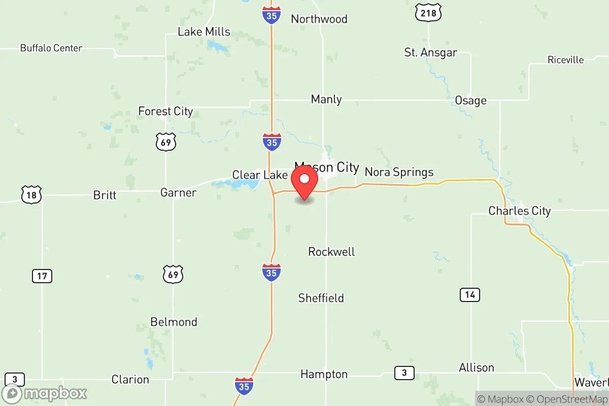
Cerro Gordo County, anchored by the city of Mason City, presents a compelling case for relocation-minded readers who prioritize strategic depth and disaster resilience over proximity to major metropolitan hubs. Situated in north-central Iowa, roughly 120 miles from the Minneapolis-St. Paul metro area and 140 miles from Des Moines, the county occupies a sweet spot: far enough from primary target zones to avoid the worst of fallout or civil unrest scenarios, yet close enough to regional supply chains and medical infrastructure for practical daily living. The area's agricultural foundation, modest population density (roughly 43,000 residents across 575 square miles), and distance from coastal hurricane zones or seismic fault lines give it a baseline resilience that many more "connected" counties simply cannot match.
Geographic position and natural advantages for long-term stability
Cerro Gordo County sits atop the I-35 corridor, a major north-south artery that links the Canadian border to the Texas-Mexico border, but its position in the state's northern tier means it avoids the congestion and target density of Iowa's larger cities. The county is part of the Iowa Drift Plain, a region characterized by gently rolling hills, fertile loam soils, and abundant surface water. The Winnebago River and the Shell Rock River both run through the county, providing natural water sources that are less likely to be contaminated by upstream industrial runoff compared to rivers near major cities. The area's elevation—averaging around 1,100 feet above sea level—offers modest topographic advantages for drainage and line-of-sight communications, though it is not mountainous. For a relocator thinking about long-term food security, the county's position within the Corn Belt means local grain and livestock production is not just possible but economically dominant. Mason City itself is a regional trade hub with a hospital, airport, and rail connections, but the surrounding towns—Clear Lake, Rockwell, and Ventura—offer smaller, more defensible living options with direct access to farmland and freshwater lakes.
Risk exposure, fallout proximity, and man-made hazard assessment
Cerro Gordo County's primary risk exposure comes not from natural disasters but from its position relative to potential man-made and infrastructure-related hazards. The county is not within the immediate fallout plume zone of any major strategic target, such as Offutt Air Force Base near Omaha (roughly 180 miles southwest) or the Minneapolis-St. Paul International Airport and associated military installations (roughly 120 miles north). However, the I-35 corridor itself could become a chokepoint during evacuation events, and the county's rail lines—used for transporting grain, ethanol, and fertilizer—represent a secondary risk for derailments or chemical spills. The Pine Bend Refinery in Rosemount, Minnesota, and the Wood River Refinery near St. Louis are both outside the 100-mile radius, but the county's reliance on trucked-in fuel and propane for heating means supply chain disruptions during a crisis could be acute. There are no nuclear power plants within 100 miles; the closest is the Prairie Island plant near Red Wing, Minnesota, roughly 130 miles northeast. Tornado risk is moderate—the county averages about 6-8 tornado warnings per year—but the flat terrain and lack of basements in many rural homes is a practical concern. Flooding along the Winnebago and Shell Rock Rivers is a localized hazard, particularly in low-lying areas of Mason City and Clear Lake, but the county's floodplain management has improved since the 2008 floods that damaged parts of the region.
Practical resilience for relocators: food, water, energy, and defensibility
For a relocator serious about self-sufficiency, Cerro Gordo County offers a strong foundation with some notable gaps. Food resilience is the county's standout advantage: the area is surrounded by row-crop agriculture (corn and soybeans) and livestock operations, with local farmers' markets in Mason City and Clear Lake operating from May through October. The North Iowa Farmers Market and the Clear Lake Farmers Market provide direct access to locally grown produce, eggs, and meat, and the county's agricultural extension service offers workshops on home food preservation and gardening. Water availability is generally good, with the Iowa Glaciated Plains aquifer providing groundwater that is shallow and relatively easy to access via private wells, though testing for nitrates and agricultural runoff is advisable. The city of Mason City draws its municipal water from the Winnebago River and groundwater wells, but rural properties typically rely on private wells, which require regular testing and maintenance. Energy resilience is a mixed picture: the county is served by Alliant Energy and Cerro Gordo Electric Cooperative, both of which have invested in grid hardening, but the area is not a leader in distributed generation. Solar potential is moderate—Iowa averages about 200 sunny days per year—and wind energy is abundant, with several commercial wind farms in the region, but residential-scale battery storage remains expensive and uncommon. Defensibility is the county's weakest point: the open agricultural terrain offers little natural cover, and the I-35 corridor could funnel displaced populations north or south during a crisis. However, the county's low population density and strong community networks—exemplified by the Cerro Gordo County Emergency Management Agency and local volunteer fire departments—provide a social resilience that denser suburban areas lack. For a relocator, the key is to choose a property with a private well, a backup power source (generator or solar), and a defensible position away from major roads.
The overall strategic picture for Cerro Gordo County is one of moderate-to-high baseline resilience with specific, manageable vulnerabilities. It is not a "bug-out location" in the survivalist sense—it lacks the topographic defensibility of mountainous regions and the climate stability of the Pacific Northwest—but it offers a realistic, livable environment for someone who wants to be prepared without living off-grid. The county's agricultural base, freshwater resources, and distance from major target zones make it a strong candidate for a primary relocation destination, particularly for families who can integrate into the local economy and community. The risks—tornadoes, agricultural runoff, I-35 corridor chokepoints, and limited energy independence—are real but can be mitigated with proper planning and property selection. For the conservative-leaning reader who values self-reliance, community, and a slower pace of life, Cerro Gordo County represents a solid, data-backed choice that balances preparedness with practicality. The key is to act before the next crisis drives up demand for exactly this kind of location.

* Values derived from national, state, county, city and local statistics and may differ in a specific area. Last updated: 2026-07-12T08:40:55.000Z
Narrative content on this page is AI-generated and may contain mistakes. Verify any details that matter before acting on them.
ReloMaps may earn a commission from affiliate links at no extra cost to you.

